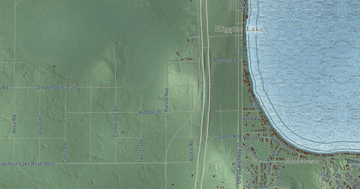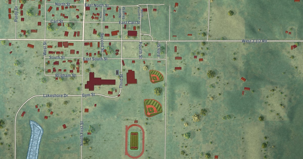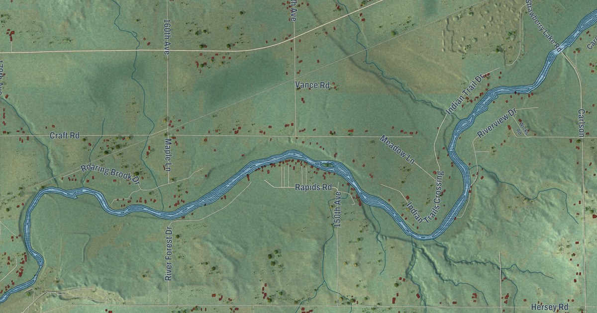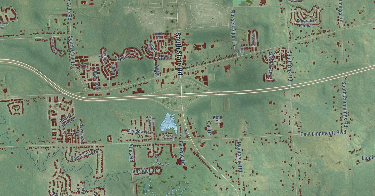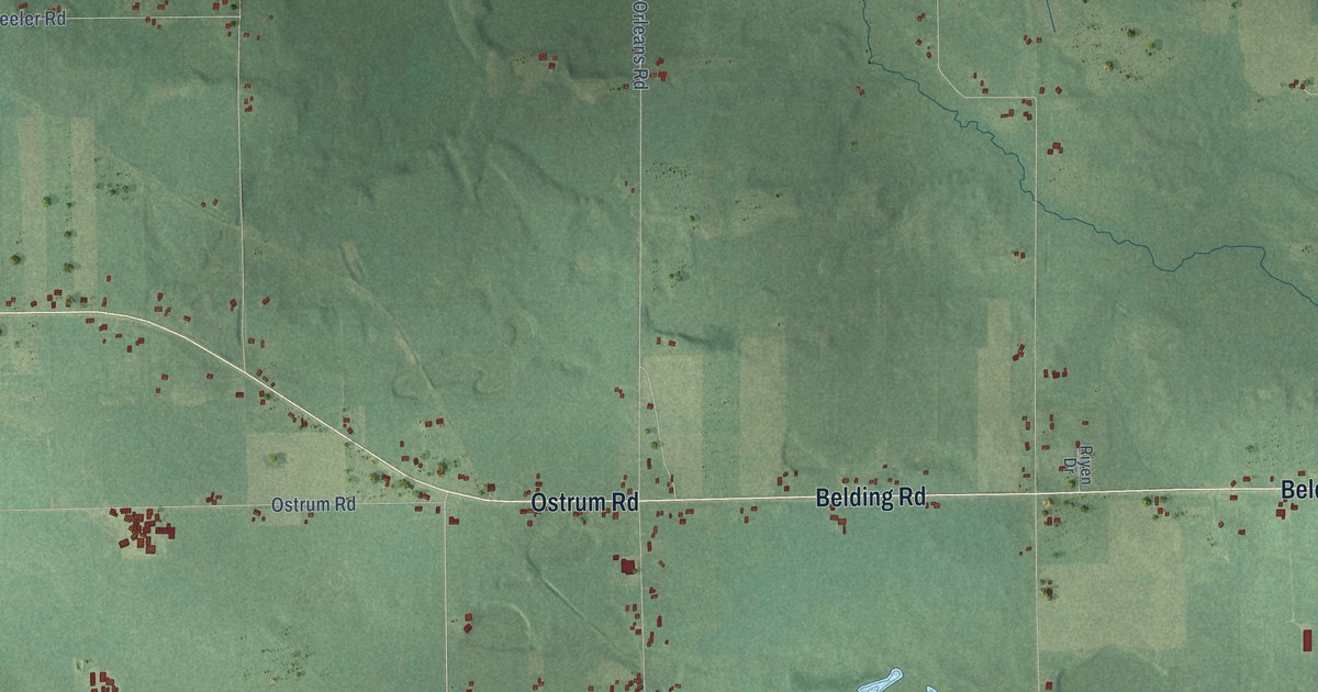
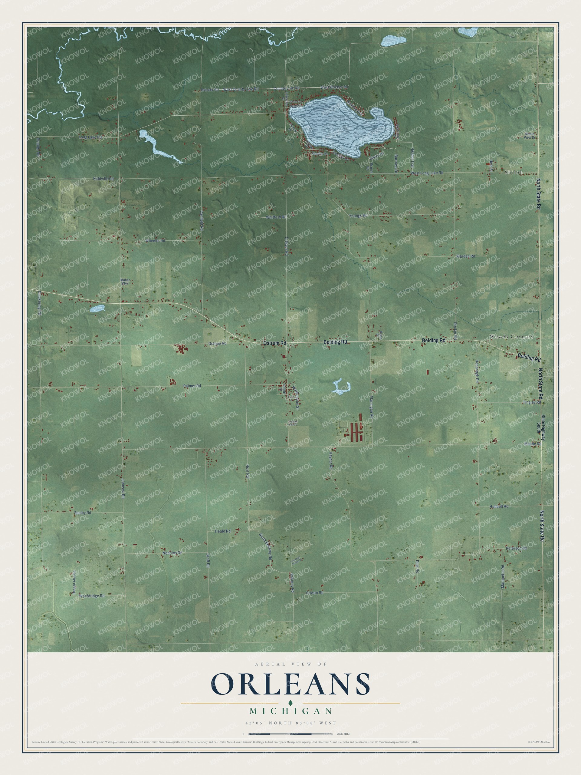
This beautifully detailed map of Orleans, Michigan was created in 2026 using aerial imagery combined with modern topographical, census, street and landmark data. It's a modern aerial view of Orleans in Ionia County, Michigan, that combines modern data with a vintage aesthetic. The roads feature printed names, and if you look closely you can find your exact house accurately shown in its correct location.
Explore an aerial view of Orleans, Michigan
On this map you'll find Shiloh, Woods Corners, Belding Road, North State Road, Ostrum Road, West Long Lake Road, Long Lake Road, Bricker Road, County Line Road, West Bricker Road, West County Line Road, Hoyt Road, and more. Each red shape is a building, so zoom in on the preview and look for yours.
Every town has a first chapter, and Orleans is no exception. The History of Ionia and Montcalm Counties puts it this way: "A Free Methodist Class was organized in Orleans, Feb. 20, 1870, and soon afterwards a church-edifice was built upon section 32. The Orleans Circuit was formed in September, 1870, and included the First Free Methodist Church of Orleans and the First Free Methodist Church of Otisco."
The Census Bureau counted 2,664 people here in 2020.
Take a closer look at the Orleans map
Names on this map
These names are printed on this map.
Places: Shiloh and Woods Corners.
Streets and roads: Belding Road, North State Road, Ostrum Road, West Long Lake Road, Long Lake Road, Bricker Road, County Line Road, West Bricker Road, West County Line Road, Hoyt Road, Johnson Road, Meade Road.
More street names, A to Z
Belding Avenue, Bellamy Road, Bradley Road, Branch Road, Burrows Drive, Canfield Road, Catalpa Drive, Chickering Road, Cowan Road, Deagan Alan Road, Decker Road, Dick Road, East Long Lake Drive, Flannigan Road, Graff Road, Hall Street, Haynor Road, Heald Road, Heth Street, Hidden Trail, Hoppough Road, Hubbell Road, Kiddville Road, Lakeview Drive, Mahar Boulevard, Maple View Drive, Marquette Road, Morton Avenue, Noddins Road, North Bellamy Road, Orchard View Drive, Orleans Road, Ottawa Drive, Palmer Road, Pearl Street, Peterson Road, Riyen Drive, Robert Street, Seeley Road, Shore Drive, State Highway South, Stauffer Drive, Sunset Drive, Tingley Road, Unnamed Private Drive, Warden Road, Washington Street, Wheeler Road, Whitford Road, Wooldridge Road, Youngs Road.
See it on a wall
The Orleans map as a framed print. Swipe for more.


Created by KNOWOL in 2026. The buildings are small red shapes, the roads carry their printed names, and shaded relief shows the shape of the land. The title panel reads "AERIAL VIEW OF ORLEANS, MICHIGAN" with 43°05' NORTH 85°08' WEST.
Hang it in the hallway, the office or the cabin, or give it to someone who left Orleans and still calls it home. Open the preview and look for a street you know. See sizes and frames for the Orleans map.