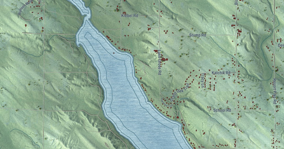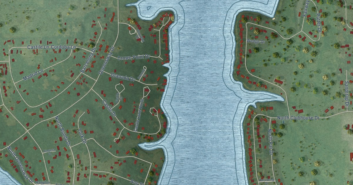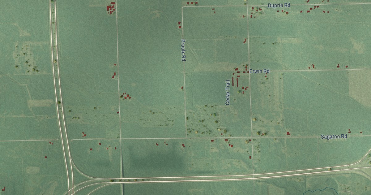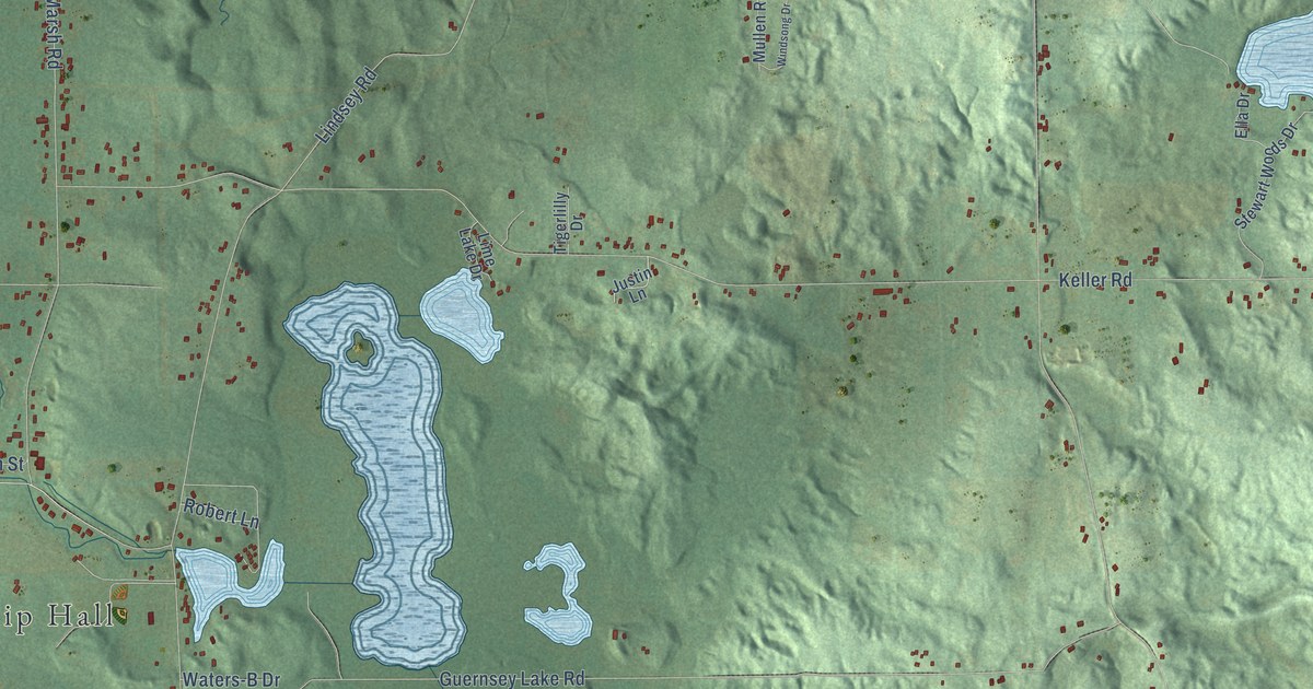
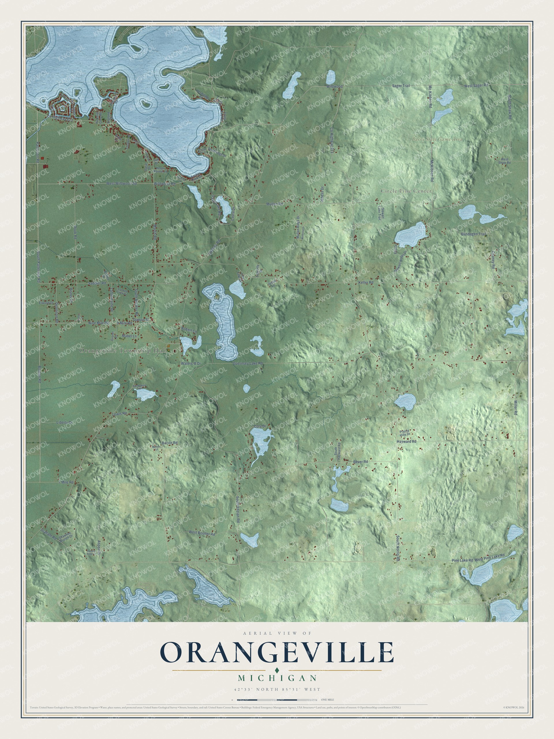
This beautifully detailed map of Orangeville, Michigan was created in 2026 using aerial imagery combined with modern topographical, census, street and landmark data. It's a modern aerial view of Orangeville in Barry County, Michigan, that combines modern data with a vintage aesthetic. The roads feature printed names, and if you look closely you can find your exact house accurately shown in its correct location.
Explore an aerial view of Orangeville, Michigan
On this map you'll find Orangeville Township Hall, Circle Pine Center, Barry State Game Area, West Sager Road, Boysen Road, Wildwood Road, Wildwood, West Wildwood Road, Co Highway 623, Patterson Road, South Patterson Road, Mc Kibben Road, and more. Each red shape is a building, so zoom in on the preview and look for yours.
Every town has a first chapter, and Orangeville is no exception. The History of Allegan and Barry Counties puts it this way: "The name was bestowed in pursuance of a suggestion by Peter Falk, who wished to have it named Orange, in recollection of a township of that name in Ohio, whence he came to Michigan, but, there being already an Orange in Michigan, a compromise was effected on Orangeville. The first town-meeting was held at the house of Isaac Fish, April 5, 1847."
The Census Bureau counted 3,398 people here in 2020.
Take a closer look at the Orangeville map
Names on this map
These names are printed on this map.
Places: Orangeville Township Hall, Circle Pine Center and Barry State Game Area.
Streets and roads: West Sager Road, Boysen Road, Wildwood Road, Wildwood, West Wildwood Road, County Highway 623, Patterson Road, South Patterson Road, Mc Kibben Road, Fawn Lake Road, Marsh Road, South Norris Road.
More street names, A to Z
7 Mile Road, 9 Mile Road, Anchor Cove Drive, Aspen Drive, Bacon Road, Bever Road, Biindagen Trail, Britten Drive, Canterbury Trail, Chateau Court, Chicago Point Drive, Cooney Road, Cory Drive, County Highway 611, Crooked Creek Drive, Damon Street, Dennison Road, East Joy Road, Ella Drive, Elwood Drive, England Drive, England Road, Erica Lane, Graham Road, Grover Lane, Guernsey Lake Road, Hayward Road, Hermitage Road, Heron Pointe Lane, Hunters Ridge Lane, Jeness Drive, Jimenez Drive, Justin Lane, Keller Road, Lafountaine Drive, Laura Drive, Lewis Road, Liberty Drive, Lime Lake Drive, Lindsey Road, Lynden Road, Mabel Lane, McKibben Road, Memory Lane, Miller Road, Mullen Ridge Drive, Mullen Road, Nine Mile Road, Oak Drive, Oarie Drive, Pickerel Cove Road, Pine Lake Road, Prairie Hills Drive, Risner Drive, Robert Lane, Rook Road, Saddler Road, Sager Trail, Shawnee Branch Drive, South Boulter Road, South Enzian Road, South Hayward Road, South Shaw Road, Stewart Lake Trail, Stewart Woods Drive, Stoneridge Drive, Tigerlilly Drive, Torsten Drive, Trails End Road, Trails End Street, Waters-B Drive, West Boulter Road, West Joy Road, West Pine Lake Road, West Shaw Road, Winchester Drive, Winding Lane, Windsong Drive.
Created by KNOWOL in 2026. The buildings are small red shapes, the roads carry their printed names, and shaded relief shows the shape of the land. The title panel reads "AERIAL VIEW OF ORANGEVILLE, MICHIGAN" with 42°33' NORTH 85°31' WEST.
Hang it in the hallway, the office or the cabin, or give it to someone who left Orangeville and still calls it home. Open the preview and look for a street you know. See sizes and frames for the Orangeville map.