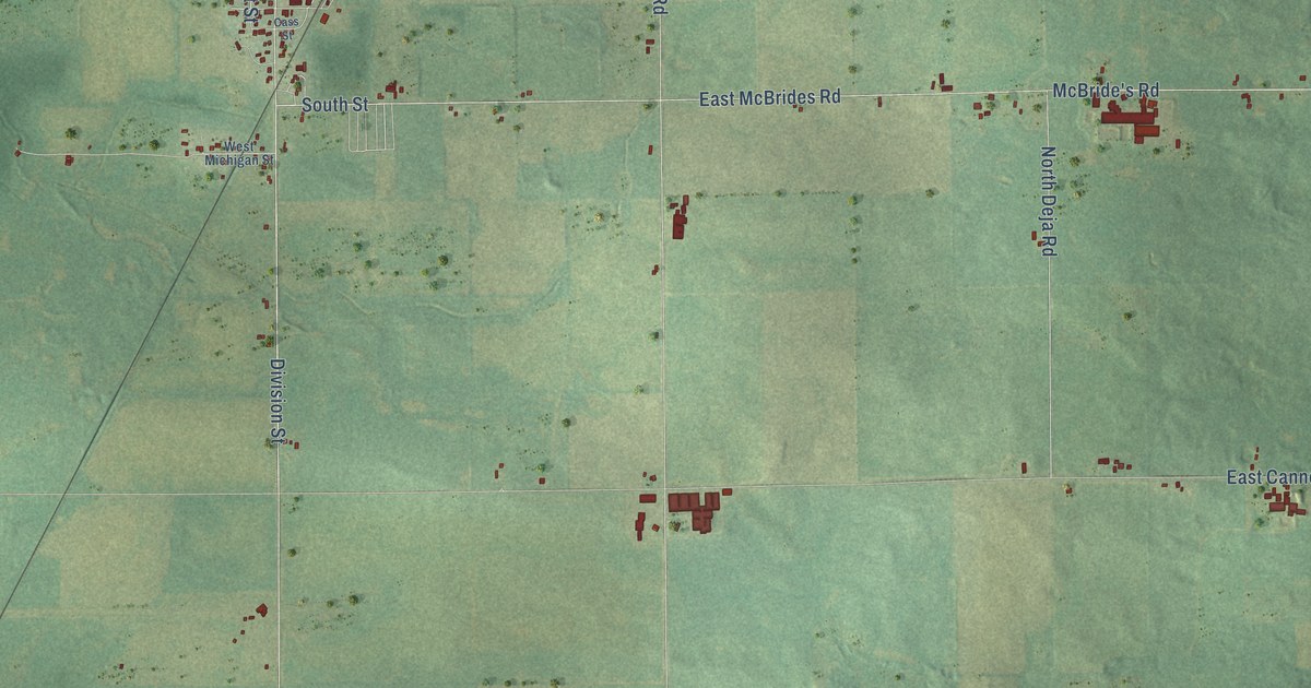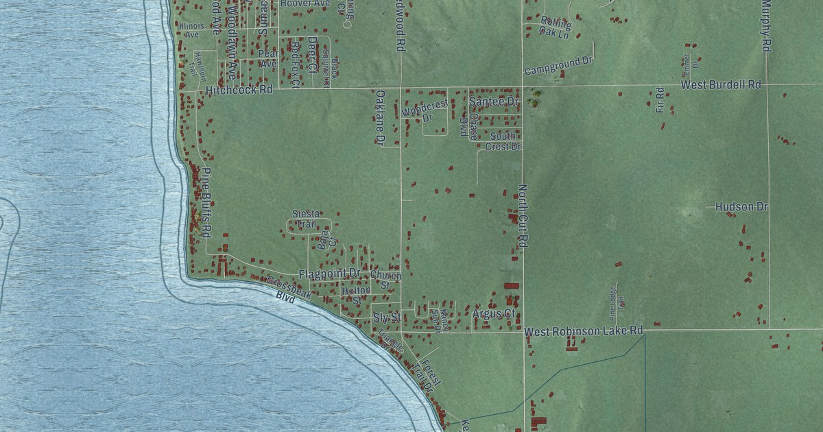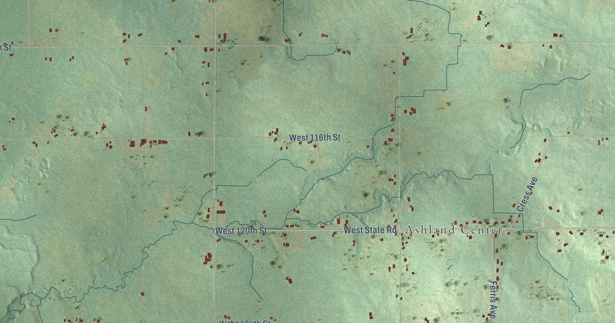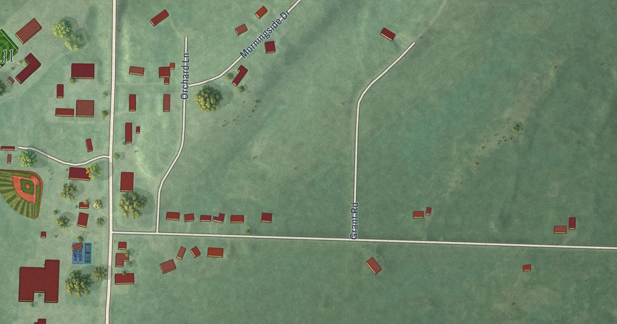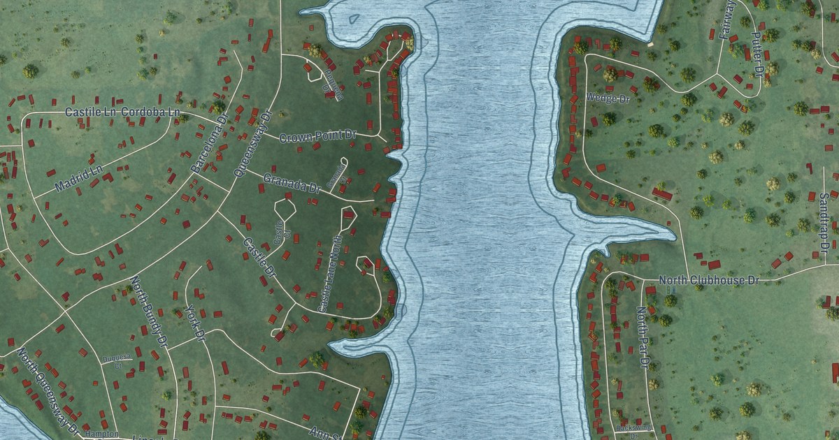
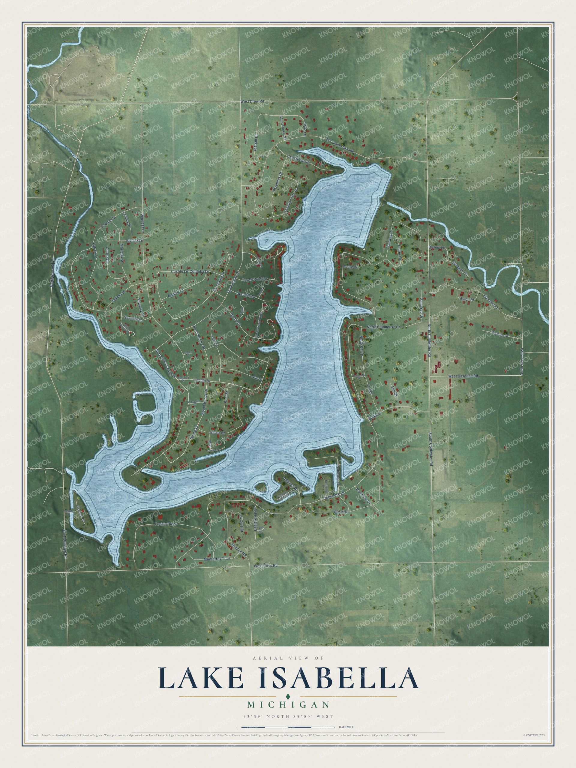
This beautifully detailed map of Lake Isabella, Michigan was created in 2026 using aerial imagery combined with modern topographical, census, street and landmark data. It's a modern aerial view of Lake Isabella in Isabella County, Michigan, that combines modern data with a vintage aesthetic. The roads feature printed names, and if you look closely you can find your exact house accurately shown in its correct location.
Explore an aerial view of Lake Isabella, Michigan
On this map you'll find North Queensway Drive, North Coldwater Road, West Baseline Road, Queensway Drive, Clubhouse Drive, Duquesa Drive, Fairway Drive, El Camino Grande, West River Road, Lincoln Drive, South Rolland Road, Bundy Drive, and more. Each red shape is a building, so zoom in on the preview and look for yours.
Lake Isabella is a village in Isabella County. The Census Bureau counted 1,829 people here in 2020. The map prints the town name in its title panel, with the coordinates below it.
Take a closer look at the Lake Isabella map
Names on this map
These names are printed on this map.
Streets and roads: North Queensway Drive, North Coldwater Road, West Baseline Road, Queensway Drive, Clubhouse Drive, Duquesa Drive, Fairway Drive, El Camino Grande, West River Road, Lincoln Drive, South Rolland Road, Bundy Drive.
More street names, A to Z
Ann Street, Avion Drive, Backswing Drive, Barcelona Drive, Birdie Drive, Bishop Lane, Bonanza Lane, Brinton Road, Campo Court, Cantabrian Drive, Carmen Drive, Castile Lane, Castle Court, Castle Drive, Castle Lane North, Channel Drive, Channel Drive West, Circle Drive, Cordoba Lane, Cortez Drive, Crossover Drive, Crown Point Drive, Duquesa Court, Eagle Point Drive, Essex Drive, Granada Court, Granada Drive, Hampton Drive, Iberian Drive, Isabella Vista Drive, Kent Street, La Cruz Court, Laredo Drive, Madrid Lane, Marietta Street, Mini, Monterrey Trail, North Bundy Drive, North Clubhouse Drive, North Par Drive, North Rolland Road, North School Road, Northview Drive, Par Drive, Parkview Drive, Peninsula Drive, Pequena Drive, Pino Lane, Pueblo Pass, Putter Drive, Pyrenees Drive, Red Fox Court, Riviera Lane, Sandtrap Drive, Seabury Circle, Sequoia Court, Sequoia Lane, Sierra Morena Drive, Siesta Lane, South Bundy Drive, South Coldwater Road, Southport Drive, South Sequoia Drive, Tee Drive, Trebuh Court, Trebuh Drive, Vallado Drive, Wedge Drive, West Drew Road, York Drive.
Created by KNOWOL in 2026. The buildings are small red shapes, the roads carry their printed names, and shaded relief shows the shape of the land. The title panel reads "AERIAL VIEW OF LAKE ISABELLA, MICHIGAN" with 43°39' NORTH 85°00' WEST.
It suits a den, a classroom or a front hall, and it makes a gift for anyone with Lake Isabella roots. Open the preview and find the block you know. See sizes and frames for the Lake Isabella map.