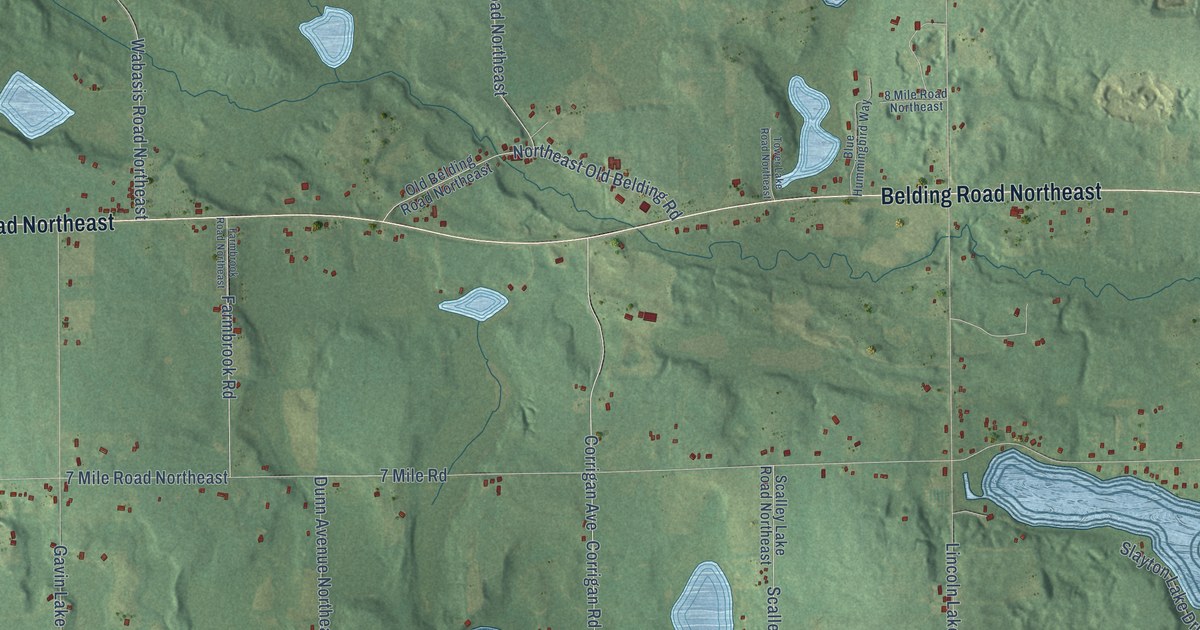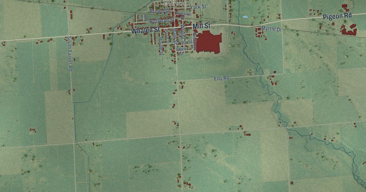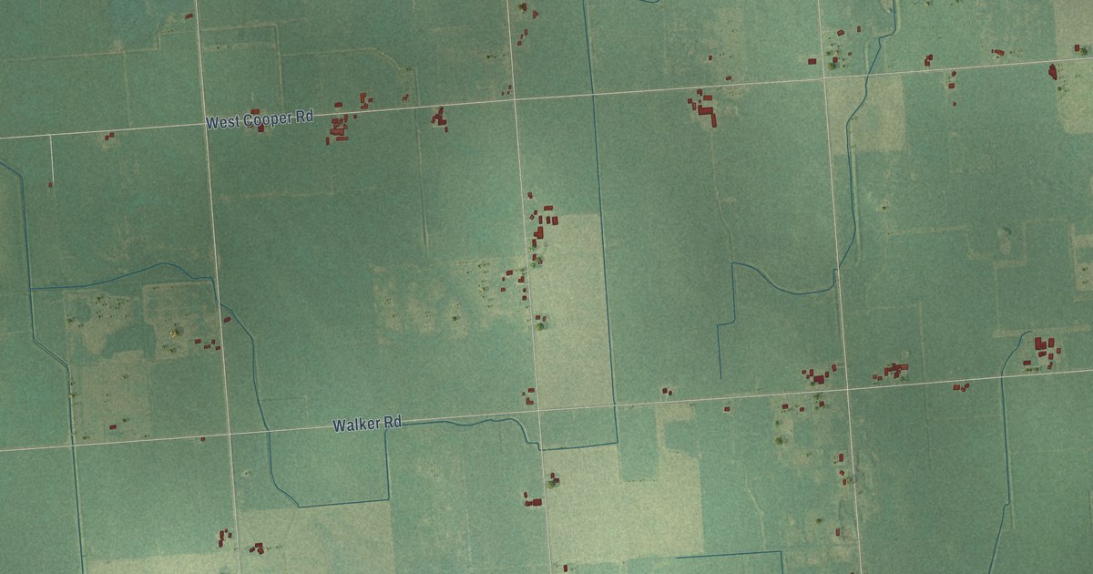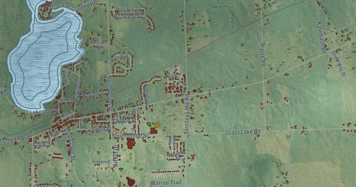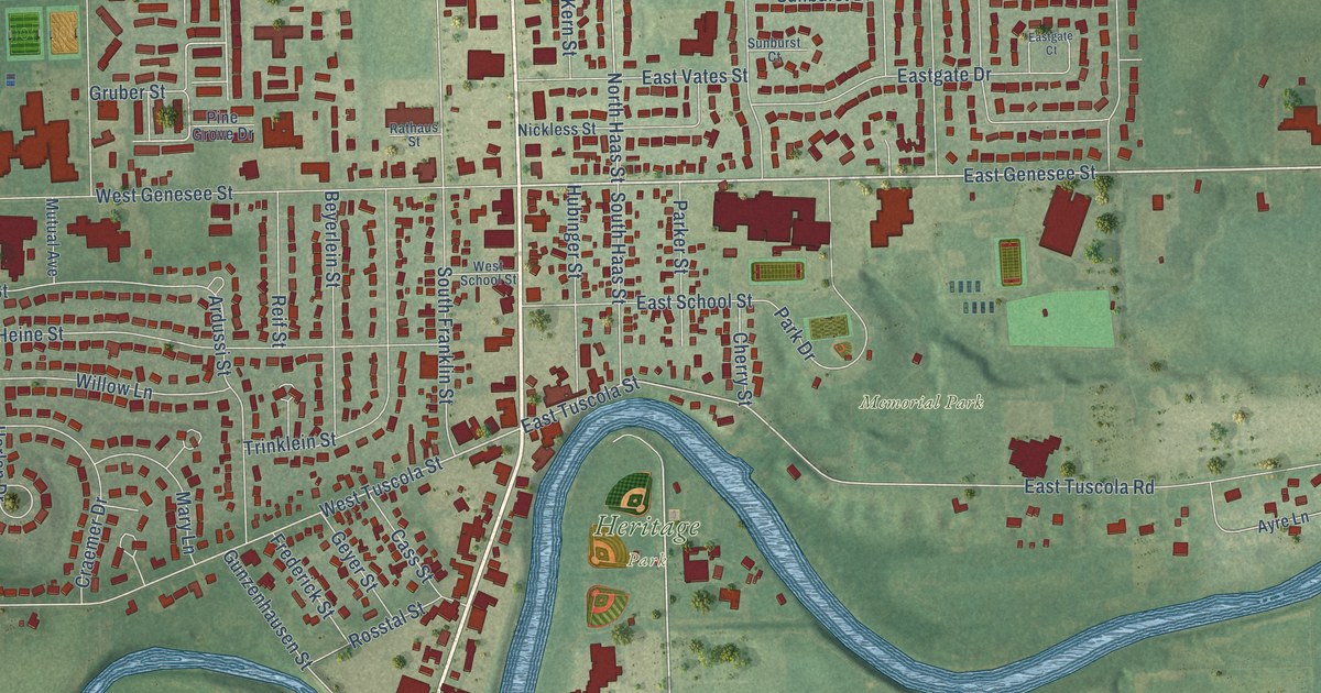
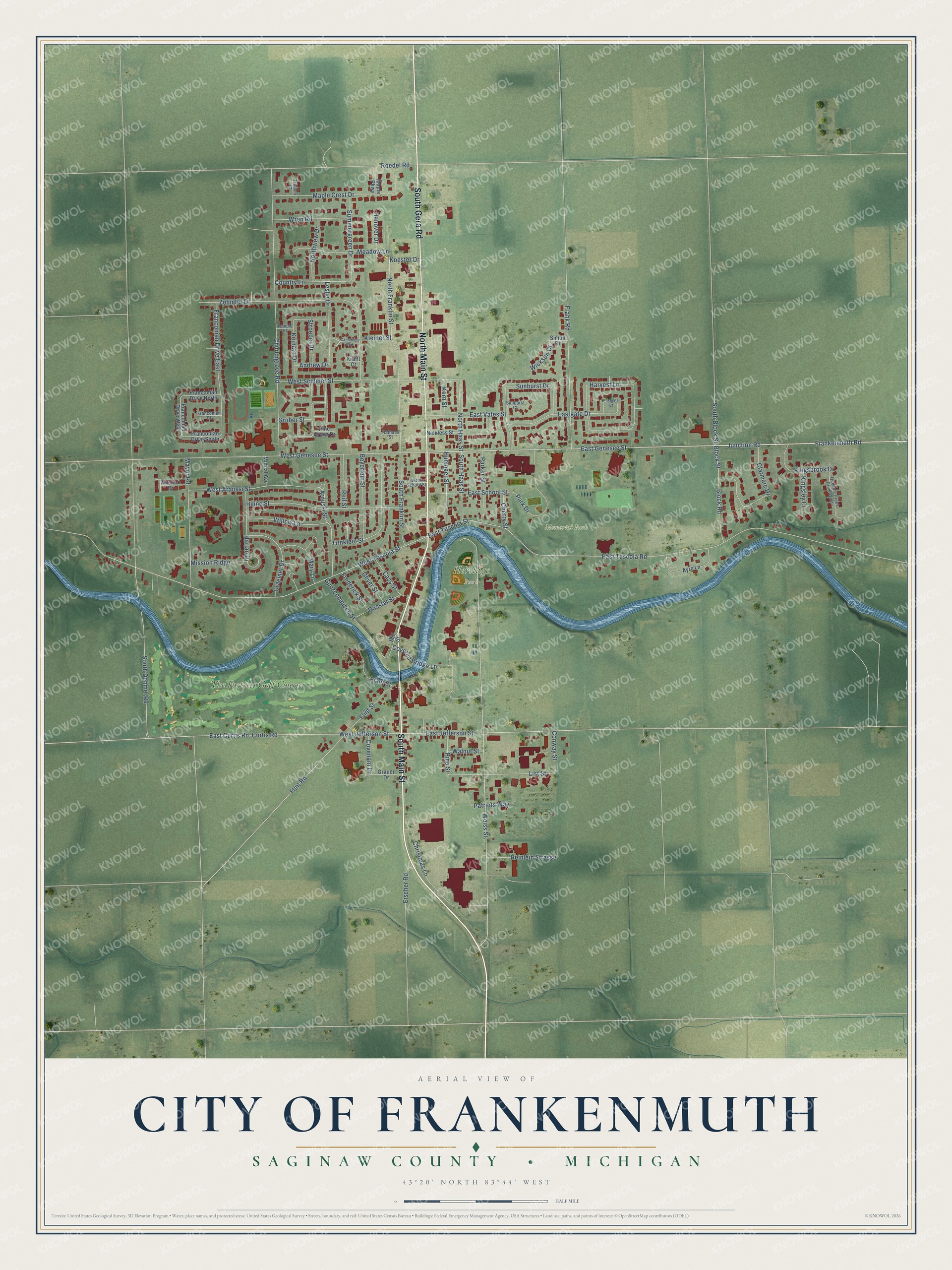
This beautifully detailed map of Frankenmuth, Michigan was created in 2026 using aerial imagery combined with modern topographical, census, street and landmark data. It's a modern aerial view of Frankenmuth in Saginaw County, Michigan, that combines modern data with a vintage aesthetic. The roads feature printed names, and if you look closely you can find your exact house accurately shown in its correct location.
Explore an aerial view of Frankenmuth, Michigan
On this map you'll find Heritage Park, Memorial Park, The Fortress Golf Course, South Main Street, South Gera Road, North Main Street, East Genesee Street, Frankenmuth Road, Junction Road, Weiss Street, Flint Road, North Haas Street, and more. Each red shape is a building, so zoom in on the preview and look for yours.
Every town has a first chapter, and Frankenmuth is no exception. The History of Saginaw County puts it this way: "Pastor Schmidt, of Ann Arbor, had selected for them a place on the Cass river, where they soon located, built a church, school and parsonage, and gave the settlement the name of Frankenmuth."
Frankenmuth is a city in Saginaw County. The Census Bureau counted 4,987 people here in 2020.
Take a closer look at the Frankenmuth map
Names on this map
These names are printed on this map.
Places: Heritage Park, Memorial Park, The Fortress Golf Course and Cambridge Park.
Streets and roads: South Main Street, South Gera Road, North Main Street, East Genesee Street, Frankenmuth Road, Junction Road, Weiss Street, Flint Road, North Haas Street, East Jefferson Street, West Jefferson Street, West Tuscola Street.
More street names, A to Z
Andrew Drive, Ardussi Street, Ayre Lane, Beyerlein Street, Block Road, Block Street, Cass Street, Cherry Street, Christmas Lane, Churchgrove Road, Clarmarc Drive, Conway Street, Country Lane, Covenant Drive, Covered Bridge Lane, Craemer Drive, Curtis Road, East Curtis Road, Eastgate Court, Eastgate Drive, East School Street, East Tuscola Road, East Tuscola Street, East Vates Street, Eischer Road, Flint Street, Franconian Court, Franconian Drive East, Franconian Drive North, Franconian Drive South, Franconian Drive West, Frank Road, Frederick Street, Geyer Street, Grauer Drive, Gruber Street, Gunzenhausen Street, Hanover Drive, Harlan Drive, Harvest Lane, Heine Street, Heinlein Strasse, Hubinger Street, Keinath Drive, Kern Street, Kingsbrook Drive, Kingsley Court, Kleiner Street, Koester Drive, Krafft Court, Leslie Drive, List Street, Maple Crest Drive, Maple Parkway, Mary Lane, Mayer Road, Meadow Lane, Mill Street, Mission Ridge, Mutual Avenue, Nickless Street, North Franklin Street, Northview Drive, Park Drive, Parker Street, Patriots Way, Pine Grove Drive, Pine Street, Plant Street, Queen's Creek Drive West, Rathaus Street, Reif Street, Roedel Road, Rosstal Street, Simon Drive, South Block Street, South Dehmel Road, South Franklin Street, South Haas Street, Stroebel Drive, Summergreen Drive, Sunburst Court, Sunburst Drive, Temple Street, Trillium Court, Trinklein Street, Walnut Street, West Ardussi Street, West Genesee Street, West Schleier Street, West School Street, Wickson Drive, Willow Lane, Wilshire Drive, Wren Road, Zehnder Drive.
Created by KNOWOL in 2026. The buildings are small red shapes, the roads carry their printed names, and shaded relief shows the shape of the land. The title panel reads "AERIAL VIEW OF CITY OF FRANKENMUTH, SAGINAW COUNTY • MICHIGAN" with 43°20' NORTH 83°44' WEST.
Hang it in the hallway, the office or the cabin, or give it to someone who left Frankenmuth and still calls it home. Open the preview and look for a street you know. See sizes and frames for the Frankenmuth map.