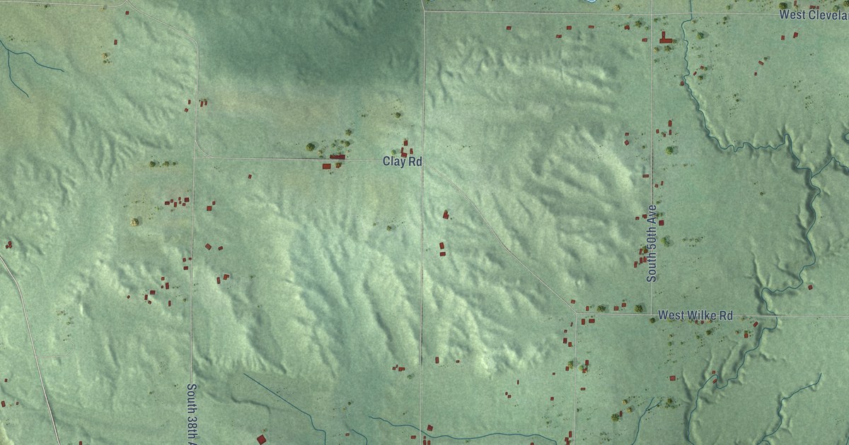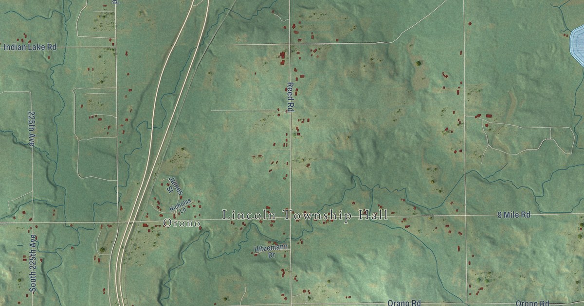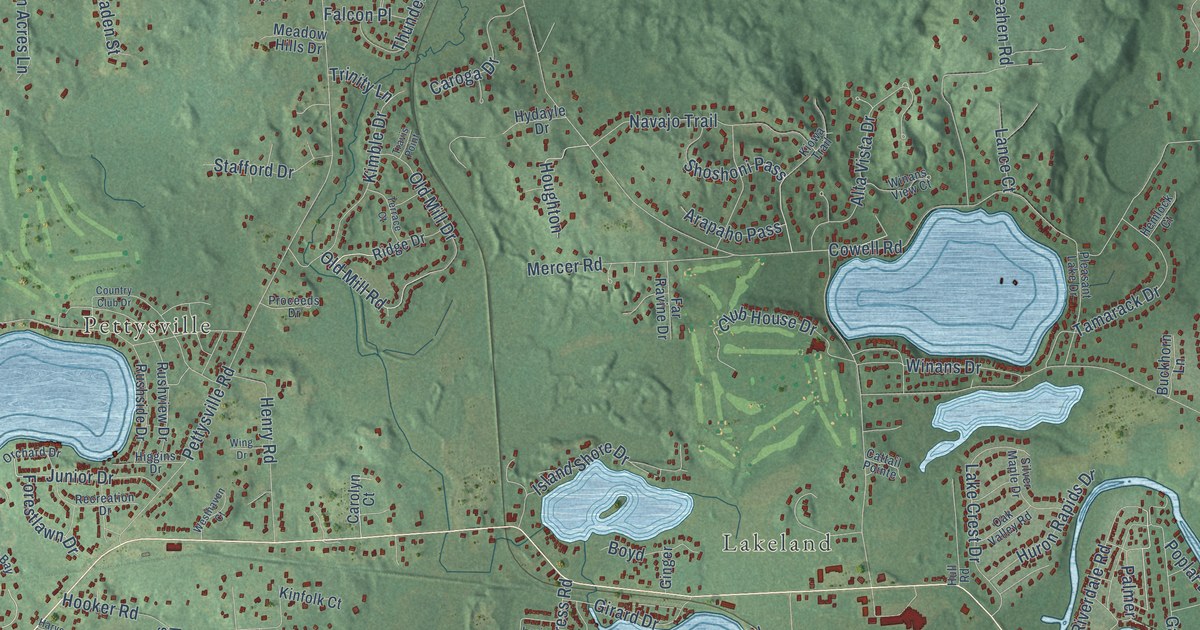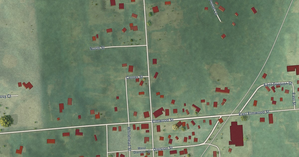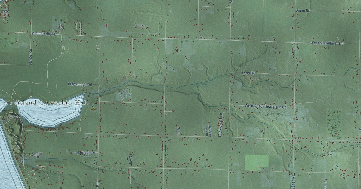
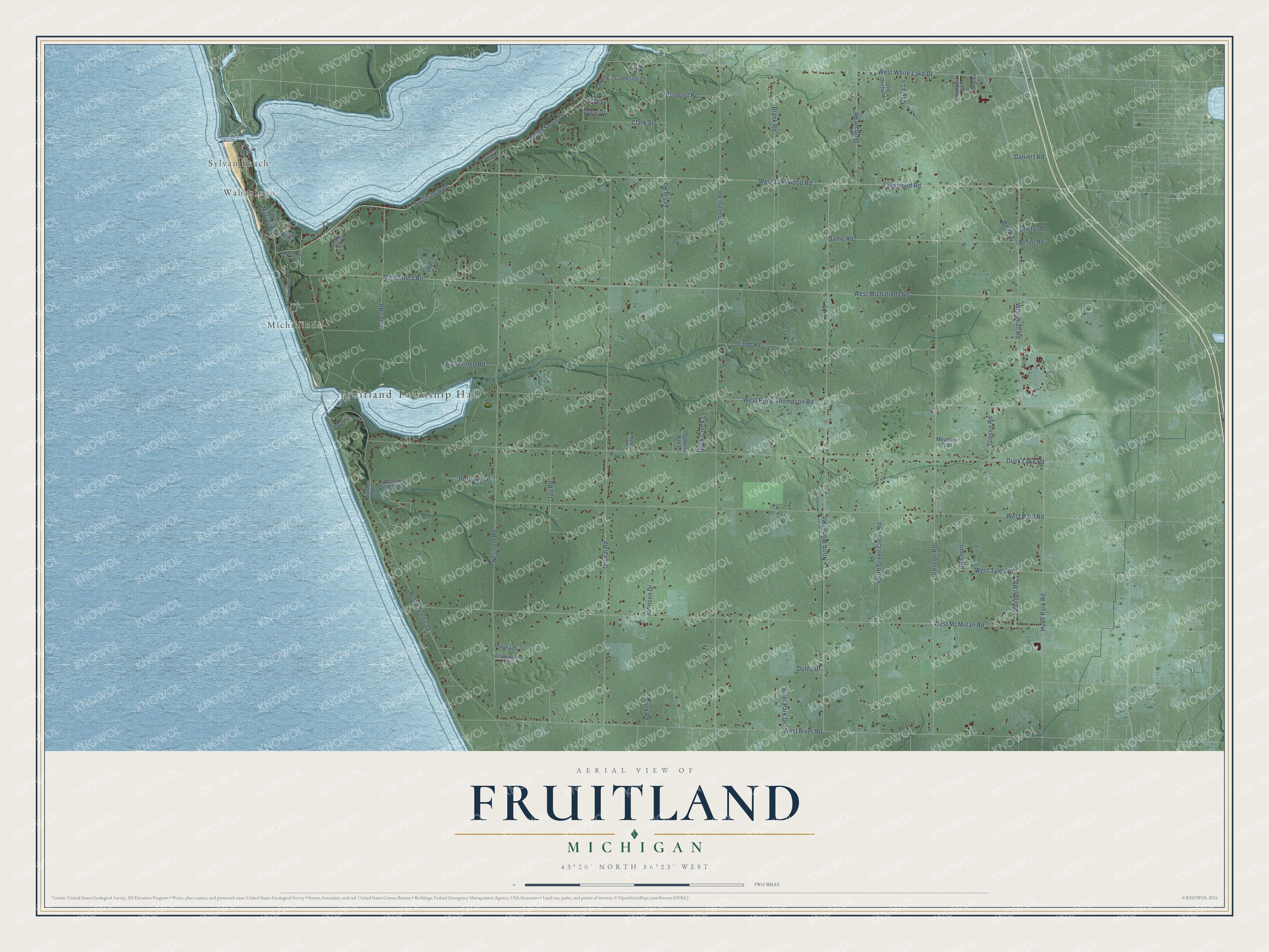
This beautifully detailed map of Fruitland, Michigan was created in 2026 using aerial imagery combined with modern topographical, census, street and landmark data. It's a modern aerial view of Fruitland in Muskegon County, Michigan, that combines modern data with a vintage aesthetic. The roads feature printed names, and if you look closely you can find your exact house accurately shown in its correct location.
Explore an aerial view of Fruitland, Michigan
On this map you'll find Fruitland Township Hall, Sylvan Beach, Wabaningo, Michillinda, West Lakewood Road, Southshore Drive, Murray Road, South Shore Drive, West Michillinda Road, Michillinda Road, Clark Street, North Weber Road, and more. Each red shape is a building, so zoom in on the preview and look for yours.
Here is a piece of Fruitland history, in the words of the record. The History of Muskegon County puts it this way: "The name of part of Fruitland, in early days, was Cork Point, and the little settlement that sprang up near the sawmills south of White Lake was named the village of Mar."
The Census Bureau counted 5,793 people here in 2020.
Take a closer look at the Fruitland map
Names on this map
These names are printed on this map.
Places: Fruitland Township Hall, Sylvan Beach, Wabaningo and Michillinda.
Streets and roads: West Lakewood Road, Southshore Drive, Murray Road, South Shore Drive, West Michillinda Road, Michillinda Road, Clark Street, North Weber Road, Duck Lake Road, Simonelli Road, West McMillan Road, West River Road.
More street names, A to Z
Andrea Drive, Angler Court, Arbutus Drive, Beachmont Avenue, Beechmont Avenue, Belfast Road, Bell Road, Berquist Road, Bittersweet Drive, Blank Road, Bristol Road, Cayla Lane, Channel View Drive, Creekside Drive, Dame Road, Daniels Road, Dock Road, Doug Drive, Duck Creek Lane, Duley Drive, Durham Road, Gibson Road, Hain Road, Heritage Drive, Hyde Park Road, Jay Road, Johnson Drive, Jones Road, Lakewood Road, Lamos Road, Lorenson Road, Meadow Trail, Mystic Lane, Nestrom Road, Nord Road, North Green Creek Road, North Scenic Drive, Oak Tree Lane, Old Orchard, Olds Lane, Orshal Road, Park Street, River Park Drive, Rogers Road, Sandy Lane, Scenic Drive, Sedona Bay Drive, Sheltering Way, Todd Road, Tranquil Trail, Wabaningo Road, West Bard Road, West Riley-Thompson Road, West Tyler Road, West White Lake Drive, Whitehall Road, Worden Road, Zellar Road.
Created by KNOWOL in 2026. The buildings are small red shapes, the roads carry their printed names, and shaded relief shows the shape of the land. The title panel reads "AERIAL VIEW OF FRUITLAND, MICHIGAN" with 43°20' NORTH 86°23' WEST.
It suits a den, a classroom or a front hall, and it makes a gift for anyone with Fruitland roots. Open the preview and find the block you know. See sizes and frames for the Fruitland map.