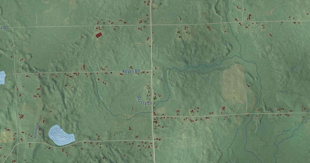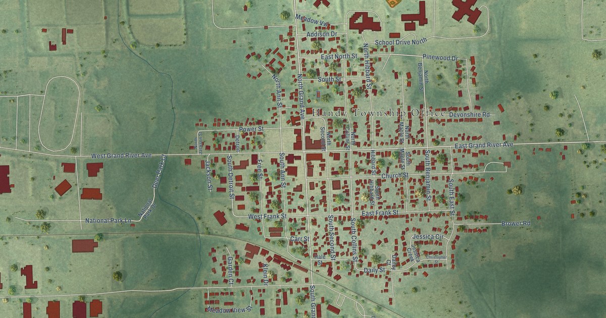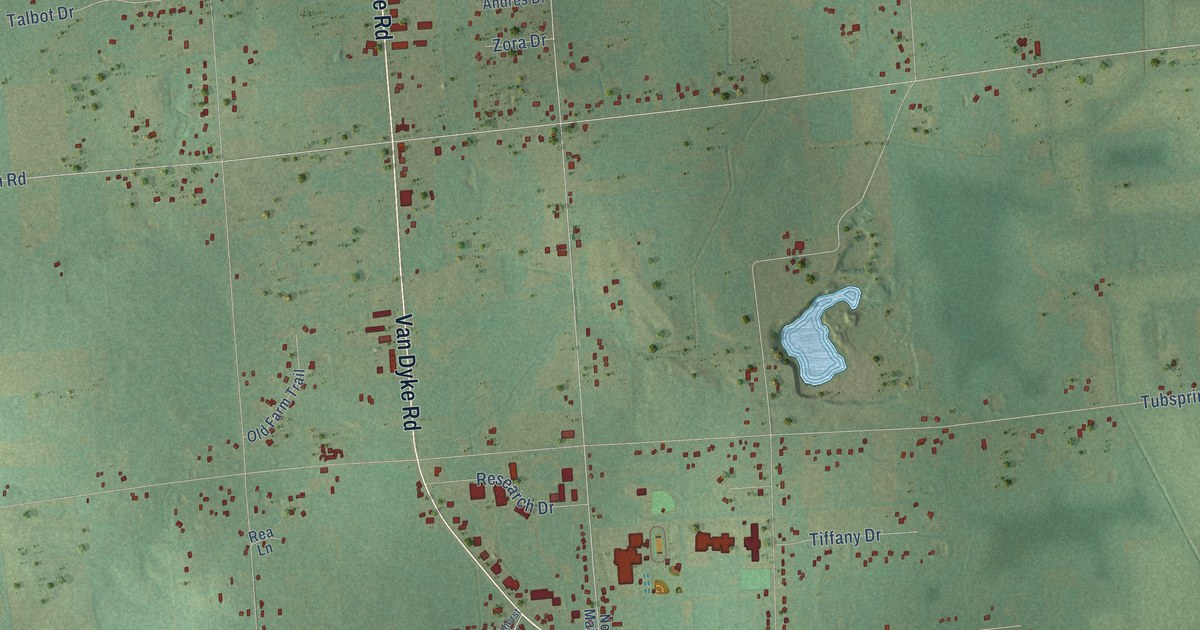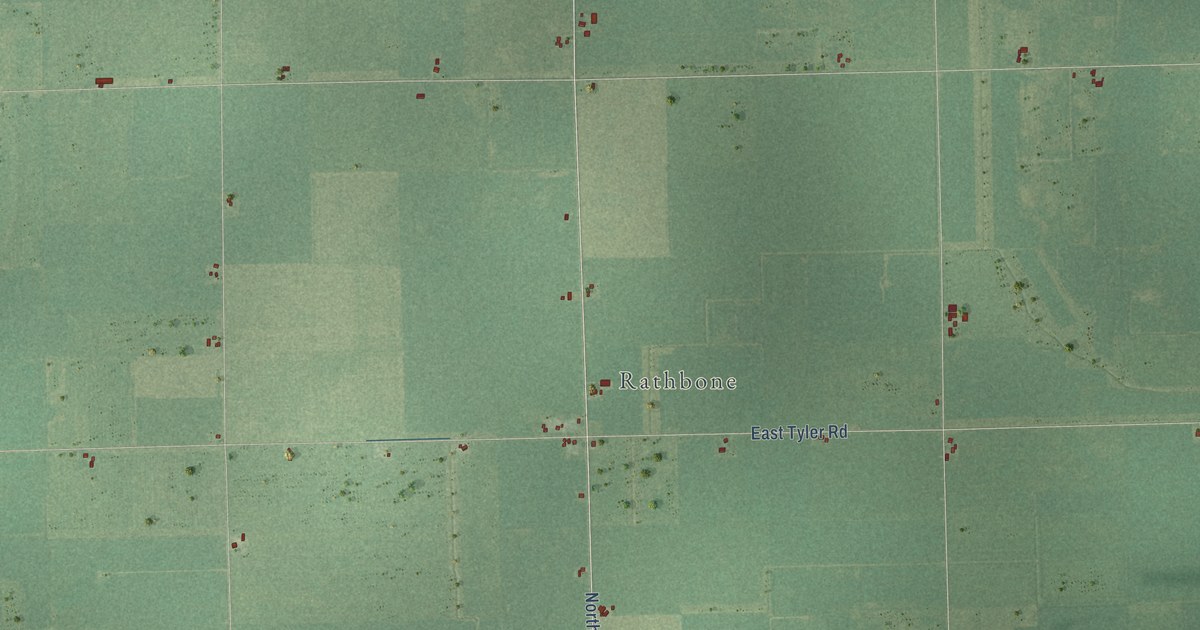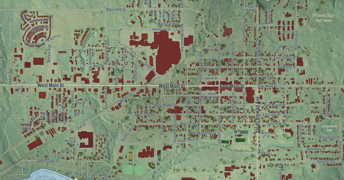
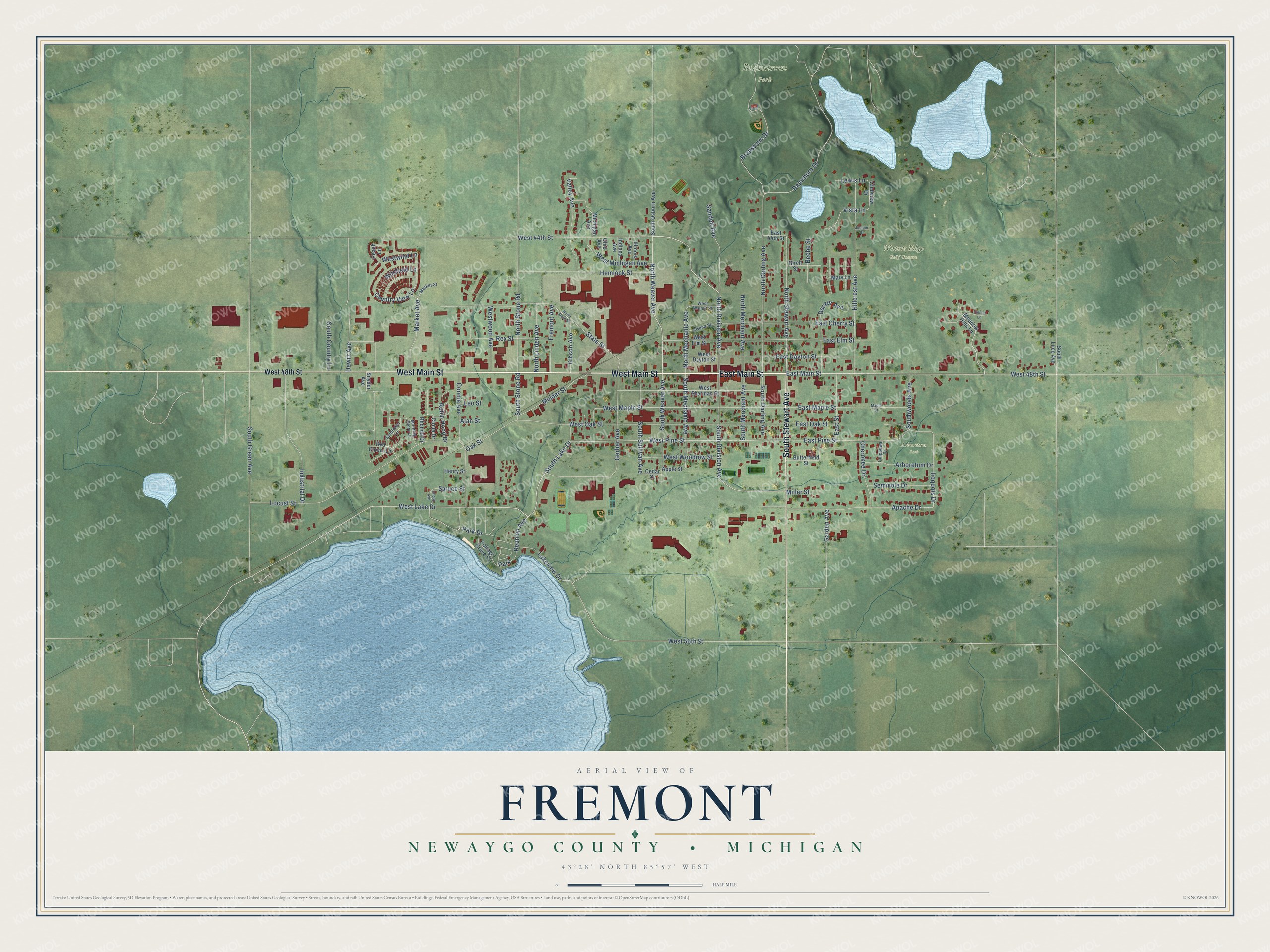
This beautifully detailed map of Fremont, Michigan was created in 2026 using aerial imagery combined with modern topographical, census, street and landmark data. It's a modern aerial view of Fremont in Newaygo County, Michigan, that combines modern data with a vintage aesthetic. The roads feature printed names, and if you look closely you can find your exact house accurately shown in its correct location.
Explore an aerial view of Fremont, Michigan
On this map you'll find Branstrom Park, Waters Edge Golf Course, Arboretum Park, West Main Street, East Main Street, South Stewart Avenue, North Division Avenue, South Lake Drive, North Stewart Avenue, North Weaver Avenue, Reunion Avenue, West Pine Street, and more. Each red shape is a building, so zoom in on the preview and look for yours.
Every town has a first chapter, and Fremont is no exception. The Biographical Album of Newaygo County puts it this way: "Fremont now has a very efficient fire department, organized in September, 1883."
Fremont is a city in Newaygo County. The Census Bureau counted 4,516 people here in 2020.
Take a closer look at the Fremont map
Names on this map
These names are printed on this map.
Places: Branstrom Park, Waters Edge Golf Course, Arboretum Park and Park.
Streets and roads: West Main Street, East Main Street, South Stewart Avenue, North Division Avenue, South Lake Drive, North Stewart Avenue, North Weaver Avenue, Reunion Avenue, West Pine Street, East Pine Street, West Lake Drive, South Division Avenue.
More street names, A to Z
Alan Street, Apache Drive, Apple Street, Arboretum Drive, Beebe Street, Birch Street, Branstrom Drive, Butterfield Street, Cedar Street, Cherokee Drive, Chippewa Drive, Circle Drive, Clubview Drive, Connie Avenue, Cottage Grove Street, Country View Lane, Decker Avenue, Dewitt Avenue, East 44th Street, East Cherry Street, East Dayton Street, East Elm Street, East Maple Street, East Oak Street, East Street, Fremont Avenue, Garden Avenue, Gerber Avenue, Gibson Avenue, Hemlock Street, Henry Street, Hillcrest Avenue, Illinois Avenue, Indiana Avenue, Industrial Drive, Iroquois Drive, Juniper Drive, Lakeview Drive, Leland Street, Leo Street, Lewis Lane, Locust Street, Maple Street, Market Avenue, Market Street, Mary Lane, Meadow Hills Lane, Michigan Avenue, Miller Street, Morning Glory Lane, Mulder Street, North Darling Avenue, North Linden Avenue, North Mechanic Avenue, North Merchant Avenue, North State Street, North Stone Road, Oak Street, Ohio Avenue, Park Drive, Peach Lane, Ramshorn Drive, Red Clover Lane, Rex Street, Rhonda Drive, Robin Hood Drive, Sandpit Avenue, Seminole Drive, Shoup Avenue, Snyder Avenue, South Country Lane, South Darling Avenue, South Green Avenue, South Luce Avenue, South Mechanic Avenue, South Merchant Avenue, South Osborn Avenue, South Stone Road, South Sullivan Avenue, South Weaver Avenue, Southwoods Avenue, Spruce Street, State Street, Sunflower Lane, Valley Avenue, Vienna Lane, Vista Lane, West 44th Street, West 48th Street, West 56th Street, West Dayton Street, West Elm Street, West Maple Street, West Michigan Avenue, West Oak Street, West Sheridan Street, West Walnut Street, Westwind Lane, Westwood Avenue, West Woodrow Street, Wildfield Lane.
Created by KNOWOL in 2026. The buildings are small red shapes, the roads carry their printed names, and shaded relief shows the shape of the land. The title panel reads "AERIAL VIEW OF FREMONT, NEWAYGO COUNTY • MICHIGAN" with 43°28' NORTH 85°57' WEST.
Hang it in the hallway, the office or the cabin, or give it to someone who left Fremont and still calls it home. Open the preview and look for a street you know. See sizes and frames for the Fremont, Newaygo County map.