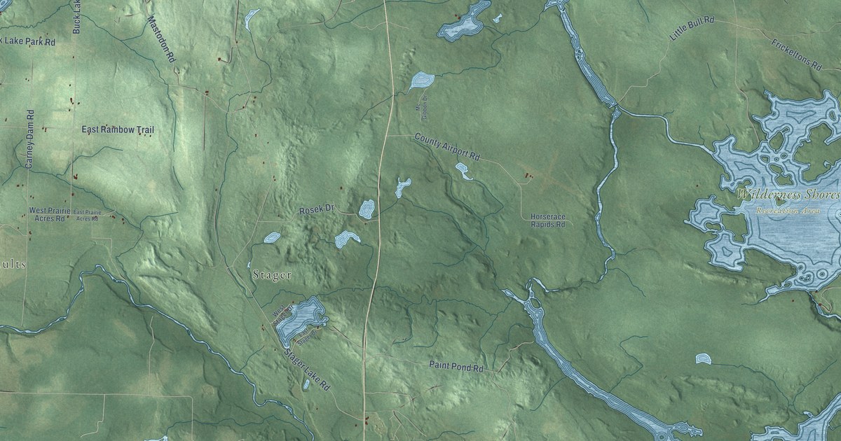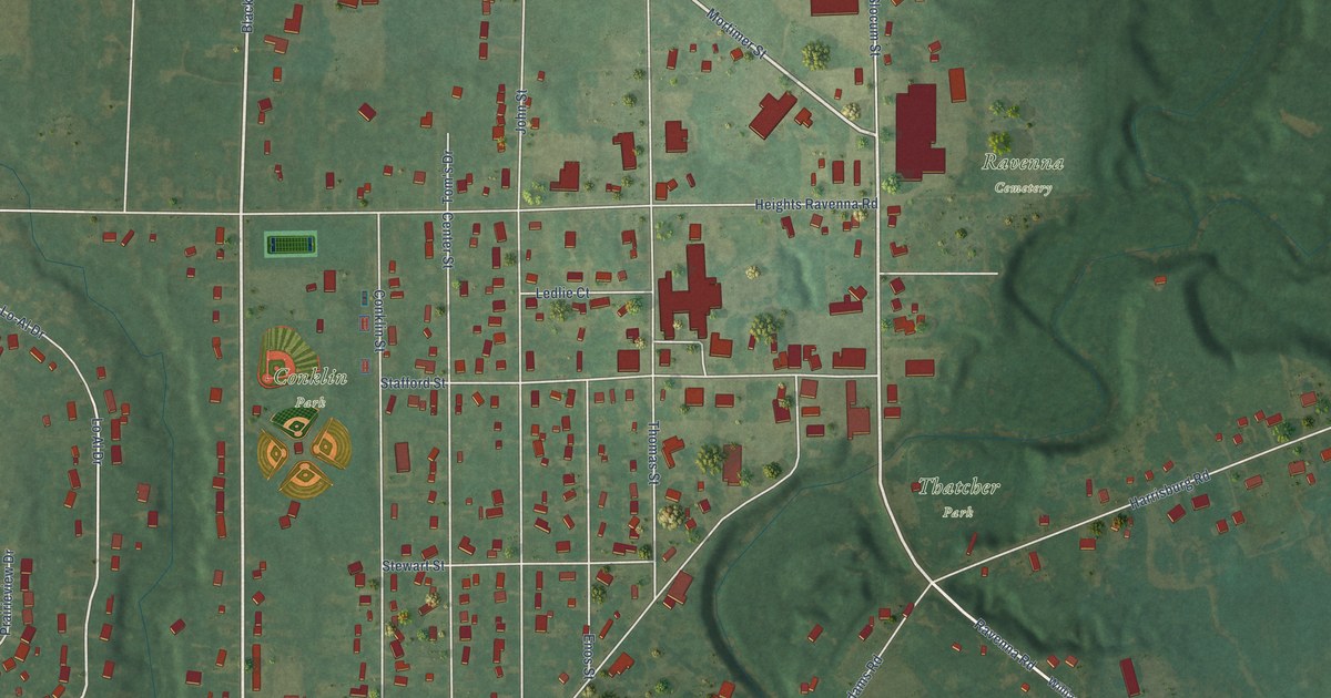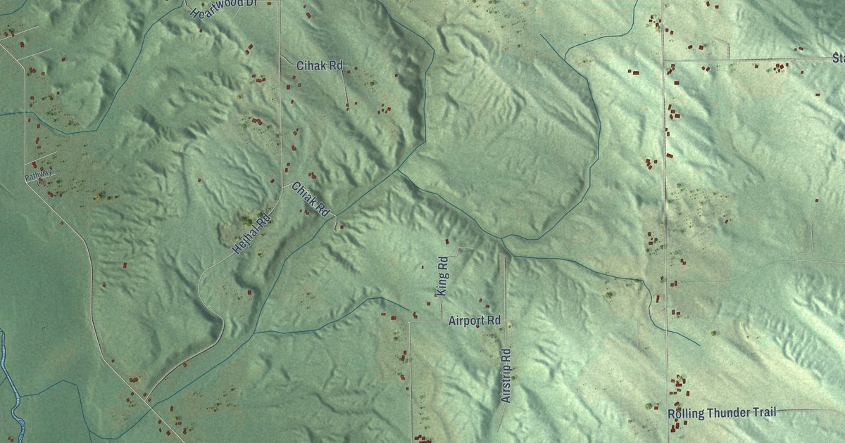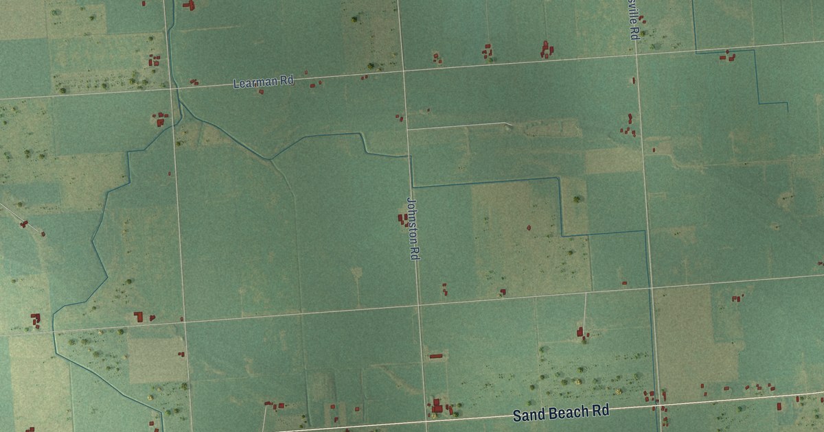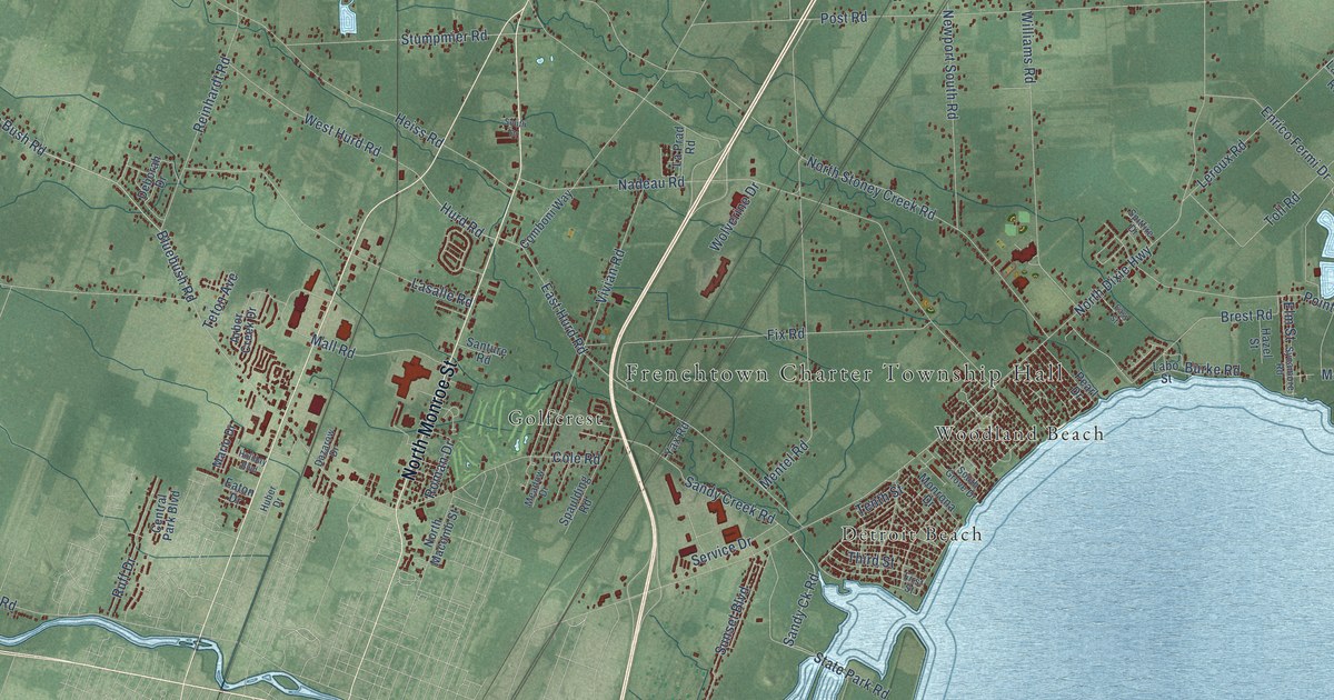
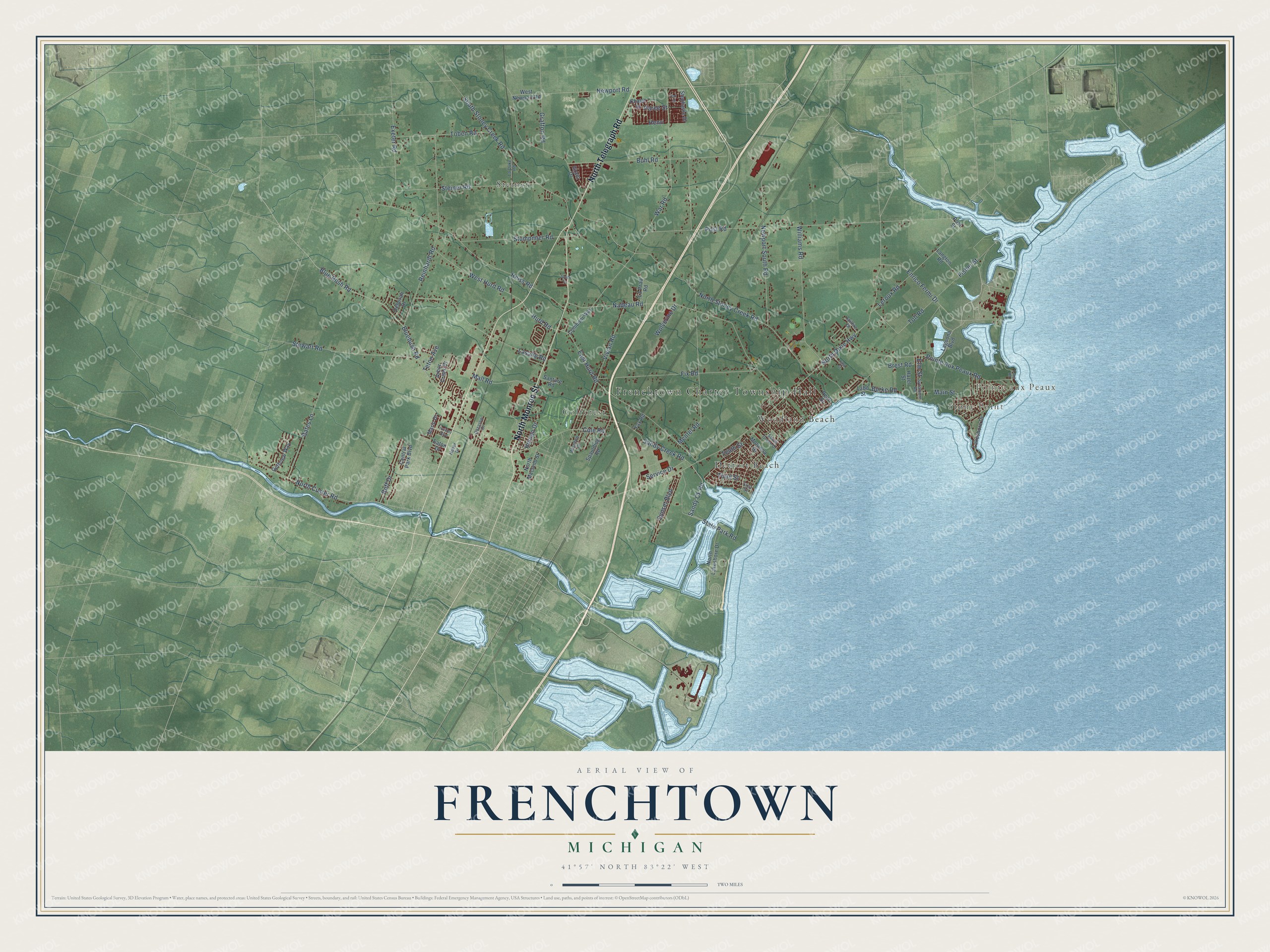
This beautifully detailed map of Frenchtown, Michigan was created in 2026 using aerial imagery combined with modern topographical, census, street and landmark data. It's a modern aerial view of Frenchtown in Monroe County, Michigan, that combines modern data with a vintage aesthetic. The roads feature printed names, and if you look closely you can find your exact house accurately shown in its correct location.
Explore an aerial view of Frenchtown, Michigan
On this map you'll find Frenchtown Charter Township Hall, Pointe aux Peaux, Nike Park, Detroit Beach, Golfcrest, Steiner, Stony Point, Woodland Beach, North Telegraph Road, North Monroe Street, Bluebush Road, North Dixie Highway, and more. Each red shape is a building, so zoom in on the preview and look for yours.
Every town has a first chapter, and Frenchtown is no exception. The record at arcgis.com puts it this way: "Named for the Erie Indians, this was the last of the Great Lakes discovered by white men."
The Census Bureau counted 21,609 people here in 2020.
Take a closer look at the Frenchtown map
Names on this map
These names are printed on this map.
Places: Frenchtown Charter Township Hall, Pointe aux Peaux, Nike Park, Detroit Beach, Golfcrest, Steiner, Stony Point and Woodland Beach.
Streets and roads: North Telegraph Road, North Monroe Street, Bluebush Road, North Dixie Highway, North Stoney Creek Road, Post Road, Mentel Road, South Stoney Creek Road, Stewart Road, Nadeau Road, War Road, Heiss Road.
More street names, A to Z
Arbor Creek Drive, Bates Lane, Blue Bush Road, Brest Road, Buhl Road, Burke Road, Central Park Boulevard, Chalet Street, Cole Road, Comboni Way, Dazarow Drive, Deborah Drive, East Hurd Road, Easy Street, Eaton Drive, Elm Street, Enrico Fermi Drive, Exeter Road, First Street, Fisher Street, Fix Road, Golfview Way, Grafton Road, Grant Drive, Hazel Street, Henri, Holiday Boulevard, Huber Drive, Hurd Road, Labo Street, La Duke Road, Lagoona Boulevard, Lakeshore Drive, Langton Road, La Prad Road, Lasalle Road, Leroux Road, Long Road, Main Street, Mall Road, Mario Drive, Meadow Drive, Monrona Drive, Newport Road, Newport South Road, North Custer Road, North Lakeshore Drive, North Macomb Street, Oak Street, Paree Street, Pearl Drive, Pointe Aux Peaux Road, Post Street, Reinhardt Road, Roman Drive, Ruff Drive, Sandy Ck Road, Sandy Creek Road, Santure Road, Service Drive, South Drive, South Grove Drive, Spaulding Road, Spitfire Drive, State Park Road, Steiner Road, Stephanie Drive, Stumpmier Road, Sunset Boulevard, Sycamore Road, Tenth Street, Teton Avenue, Third Street, Toben Road, Toll Road, Vivian Road, West Hurd Road, West Newport Road, Williams Road, Wolverine Drive, Yax Road.
Created by KNOWOL in 2026. The buildings are small red shapes, the roads carry their printed names, and shaded relief shows the shape of the land. The title panel reads "AERIAL VIEW OF FRENCHTOWN, MICHIGAN" with 41°57' NORTH 83°22' WEST.
Hang it in the hallway, the office or the cabin, or give it to someone who left Frenchtown and still calls it home. Open the preview and look for a street you know. See sizes and frames for the Frenchtown map.