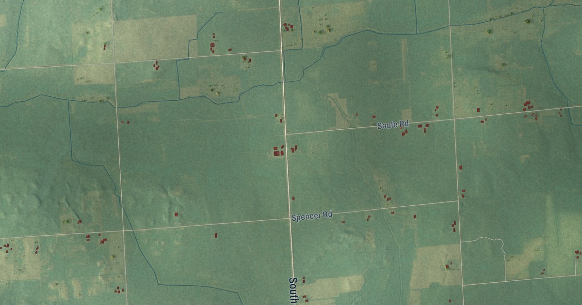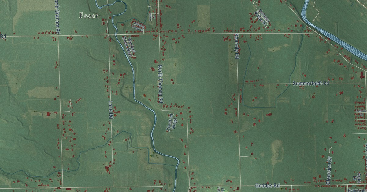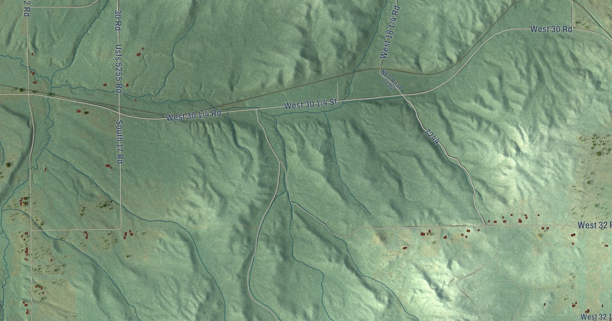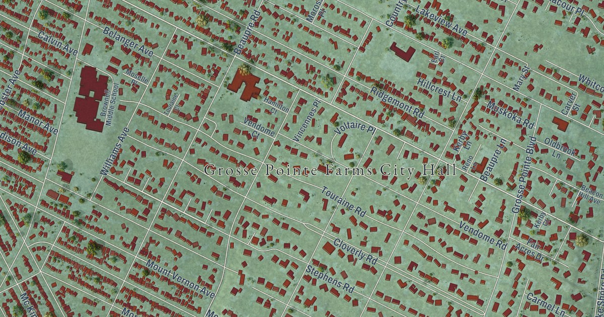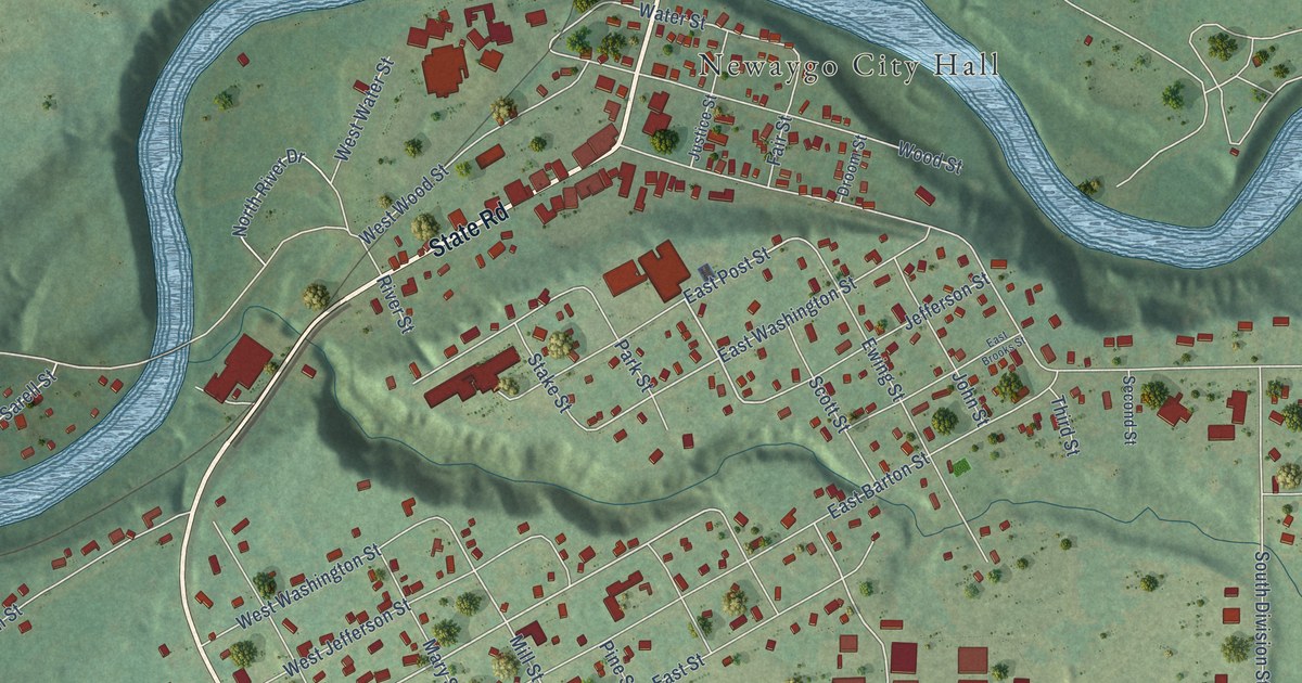
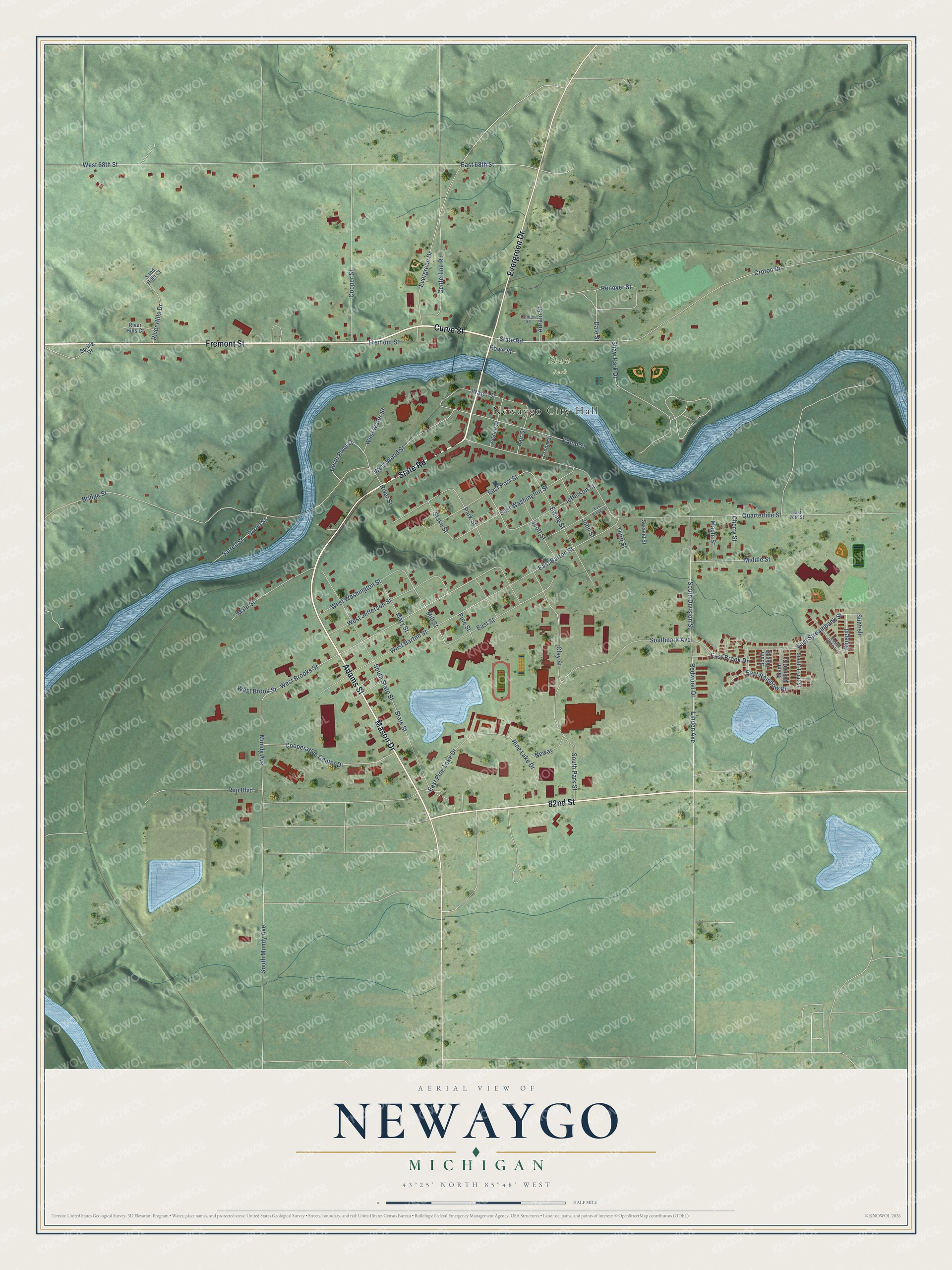
This beautifully detailed map of Newaygo, Michigan was created in 2026 using aerial imagery combined with modern topographical, census, street and landmark data. It's a modern aerial view of Newaygo in Newaygo County, Michigan, that combines modern data with a vintage aesthetic. The roads feature printed names, and if you look closely you can find your exact house accurately shown in its correct location.
Explore an aerial view of Newaygo, Michigan
On this map you'll find Newaygo City Hall, Shaw Park, Fremont Street, Curve Street, State Road, 82nd Street, Adams Street, Evergreen Drive, Mason Drive, Mundy Avenue, West Brooks Street, Clay Street, and more. Each red shape is a building, so zoom in on the preview and look for yours.
Newaygo has a story worth telling. The Biographical Album of Newaygo County puts it this way: "Mr. Grawn passed the seasons of his early years alternately in farm labor and school studies, and in 1870 came to Newaygo and engaged in rafting for the Newaygo Lumber Company."
Newaygo is a city in Newaygo County. The Census Bureau counted 2,471 people here in 2020.
Take a closer look at the Newaygo map
Names on this map
These names are printed on this map.
Places: Newaygo City Hall and Shaw Park.
Streets and roads: Fremont Street, Curve Street, State Road, 82nd Street, Adams Street, Evergreen Drive, Mason Drive, Mundy Avenue, West Brooks Street, Clay Street, East Post Street, East Streambank Street.
More street names, A to Z
Adrain Street, Bluegill, Bridge Street, Centerline Road, Center Street, Cherry Street, Cooperative Center Drive, Cooper Street, Croton Drive, Dale Street, Droom Street, East 68th Street, East 76th Street, East Barton Street, East Brook Drive, East Brooks Street, East Pine Lake Drive, East Rainbow Road, East Street, East Washington Street, Ewing Street, Fair Street, Jefferson Street, John Street, Justice Street, Linden Avenue, Main Street, Maple Street, Mary Street, Middle Street, Mill Street, Neway, North River Drive, Park Street, Penoyer Street, Pine Lake Drive, Pine Street, Quarterline Street, Redwood Drive, River Hills Court, River Hills Drive, River Street, Rowe Street, Rup Boulevard, Sand Hills Court, Sarell Street, Sarrell Street, Scott Street, Second Street, Shaw Park Drive, South Coho Lane, South Division Street, South Mundy Avenue, Southpark Avenue, South Park Street, South Pike Street, South Salmon Street, South State Street, South Trout Street, Spring Drive, Stake Street, State Street, Sunfish, Third Street, Water Street, West 68th Street, West Barton Street, West Brook Street, West Jefferson Street, West Washington Street, West Water Street, West Wood Street, Wood Street.
Created by KNOWOL in 2026. The buildings are small red shapes, the roads carry their printed names, and shaded relief shows the shape of the land. The title panel reads "AERIAL VIEW OF NEWAYGO, MICHIGAN" with 43°25' NORTH 85°48' WEST.
It looks right in a kitchen, an office or a den, and it's a gift for anyone who grew up in Newaygo or moved away. Open the preview and find your street. See sizes and frames for the Newaygo map.