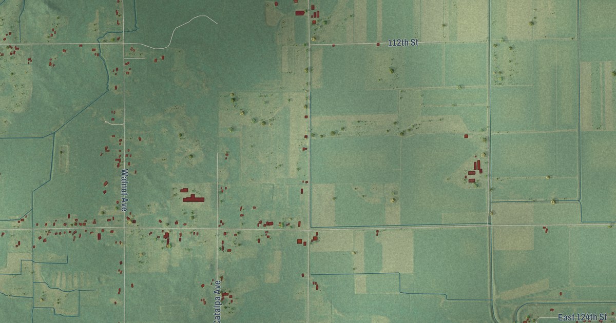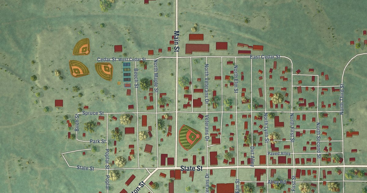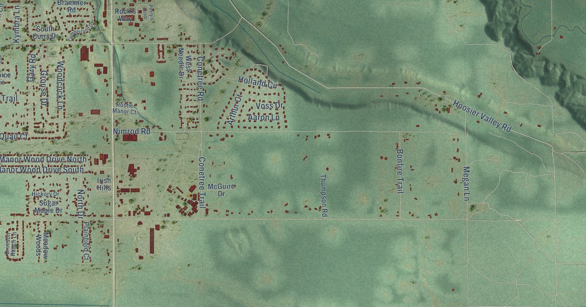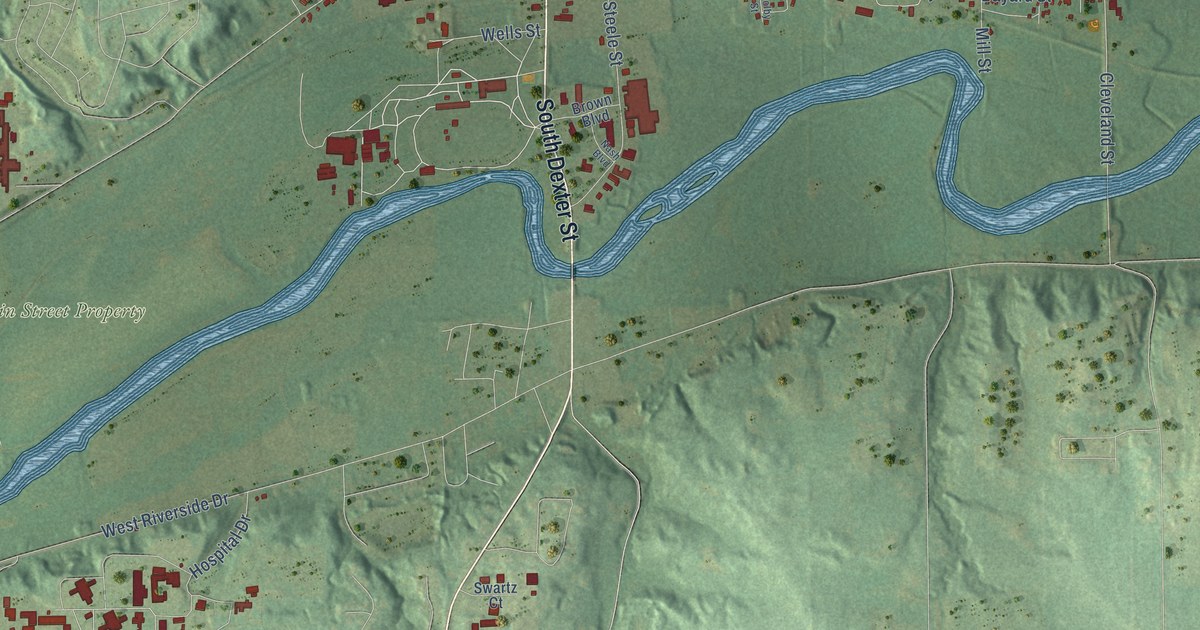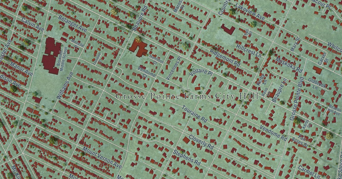
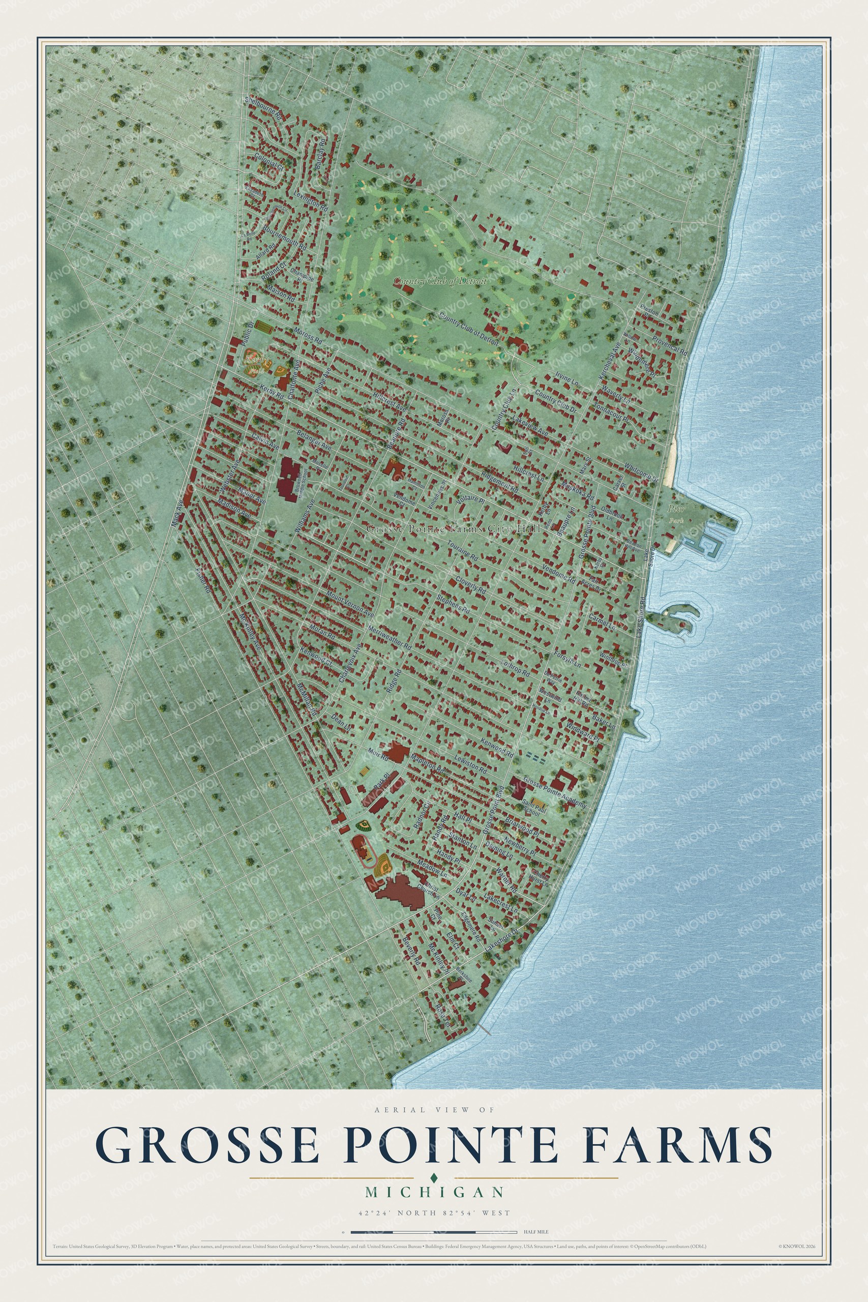
This beautifully detailed map of Grosse Pointe Farms, Michigan was created in 2026 using aerial imagery combined with modern topographical, census, street and landmark data. It's a modern aerial view of Grosse Pointe Farms in Wayne County, Michigan, that combines modern data with a vintage aesthetic. The roads feature printed names, and if you look closely you can find your exact house accurately shown in its correct location.
Explore an aerial view of Grosse Pointe Farms, Michigan
On this map you'll find Grosse Pointe Farms City Hall, Kerby Field, Pier Park, Country Club of Detroit, Lake Shore Road, Stephens Road, Grosse Point Boulevard, Warner Road, Grosse Pointe Boulevard, Lakeshore Drive, Kerby Road, Colonial Court, and more. Each red shape is a building, so zoom in on the preview and look for yours.
Every town has a first chapter, and Grosse Pointe Farms is no exception. The record at arcgis.com puts it this way: "The church was dedicated to the founders, who organized the nondenominational Grosse Pointe Protestant Evangelical Church on September 7, 1865."
Grosse Pointe Farms is a city in Wayne County. The Census Bureau counted 10,148 people here in 2020.
Take a closer look at the Grosse Pointe Farms map
Names on this map
These names are printed on this map.
Places: Grosse Pointe Farms City Hall, Kerby Field, Pier Park and Country Club of Detroit.
Streets and roads: Lake Shore Road, Stephens Road, Grosse Point Boulevard, Warner Road, Grosse Pointe Boulevard, Lakeshore Drive, Kerby Road, Colonial Court, Kercheval Avenue, Moran Road, Fisher Road, Cloverly Road.
More street names, A to Z
Allard Road, Baker Lane, Barclay Road, Beacon Hill Avenue, Beaupre Lane, Beaupre Road, Belanger Avenue, Berkshire Place, Beverly Road, Bournemouth Circle, Bournemouth Road, Briarwood Place, Brownell Middle School, Calvin Avenue, Carmel Lane, Carver Street, Chalfonte Avenue, Champine Place, Charlevoix Avenue, Cherry Hurst Lane, Christ Church Lane, Country Club Drive, Country Club Lane, Dean Lane, Deming Lane, De Petrie Way, Dyar Lane, Earl Court, Edgemere Road, Elizabeth Court, Elm Court, Fair Acres Drive, Forsyth Lane, Grosse Pointe Academy, Hall Place, Hamilton Court, Handy Place, Handy Road, Harbor Hill Road, Hendrie Lane, Hillcrest Avenue, Hillcrest Lane, Irvine Lane, Kenwood Court, Kenwood Road, Kerby Court, Kerby Lane, La Belle Road, Lakecrest Lane, Lake Shore Drive, Lakeview Avenue, Lewiston Road, Lexington Road, Lothrop Road, Mack Avenue, Madison Avenue, Maison Road, Manor Avenue, Mapleton Road, Mary Street, Mc Kinley Avenue, Mc Kinley Place, McMillan Road, Meadow Lane, Merriweather Road, Moross Place, Moross Road, Moselle Place, Mount Vernon Avenue, Muir Road, Muskoka Road, Newberry Place, Oldbrook Lane, Park Place, Piche Avenue, Pine Court, Preston Place, Provencal Road, Public Drive, Radnor Circle, Reno Lane, Ridgemont Road, Ridge Road, Roland Court, Rose Terrace, Saint Paul School, Shelbourne Road, Stanton Lane, Sunset Lane, Tonnacour Place, Touraine Court, Touraine Road, Vendome Court, Vendome Road, Vincennes Place, Voltaire Place, Waverly Lane, Webster Avenue, Westwind Lane, Whitcomb Drive, Williams Avenue, Willow Lane, Windemere Place, Windward Place, Winthrop Place.
Created by KNOWOL in 2026. The buildings are small red shapes, the roads carry their printed names, and shaded relief shows the shape of the land. The title panel reads "AERIAL VIEW OF GROSSE POINTE FARMS, MICHIGAN" with 42°24' NORTH 82°54' WEST.
Hang it in the hallway, the office or the cabin, or give it to someone who left Grosse Pointe Farms and still calls it home. Open the preview and look for a street you know. See sizes and frames for the Grosse Pointe Farms map.