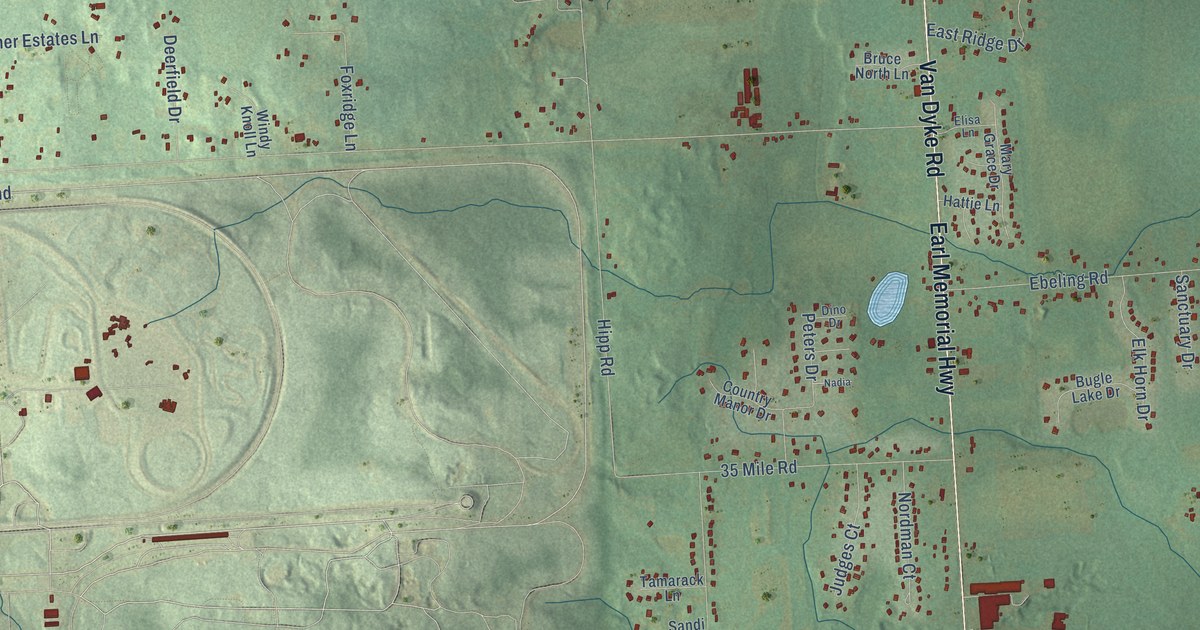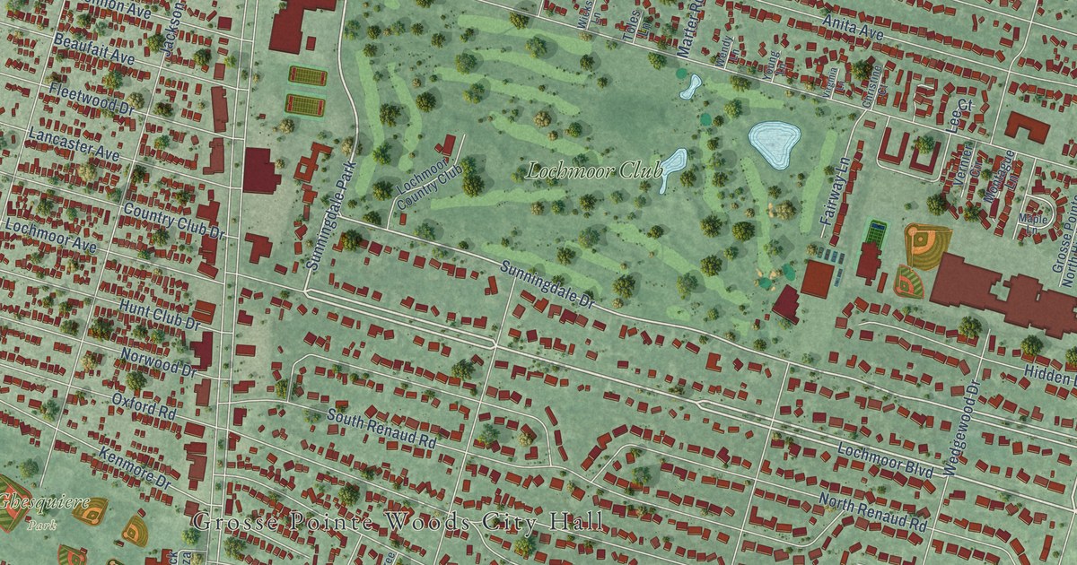
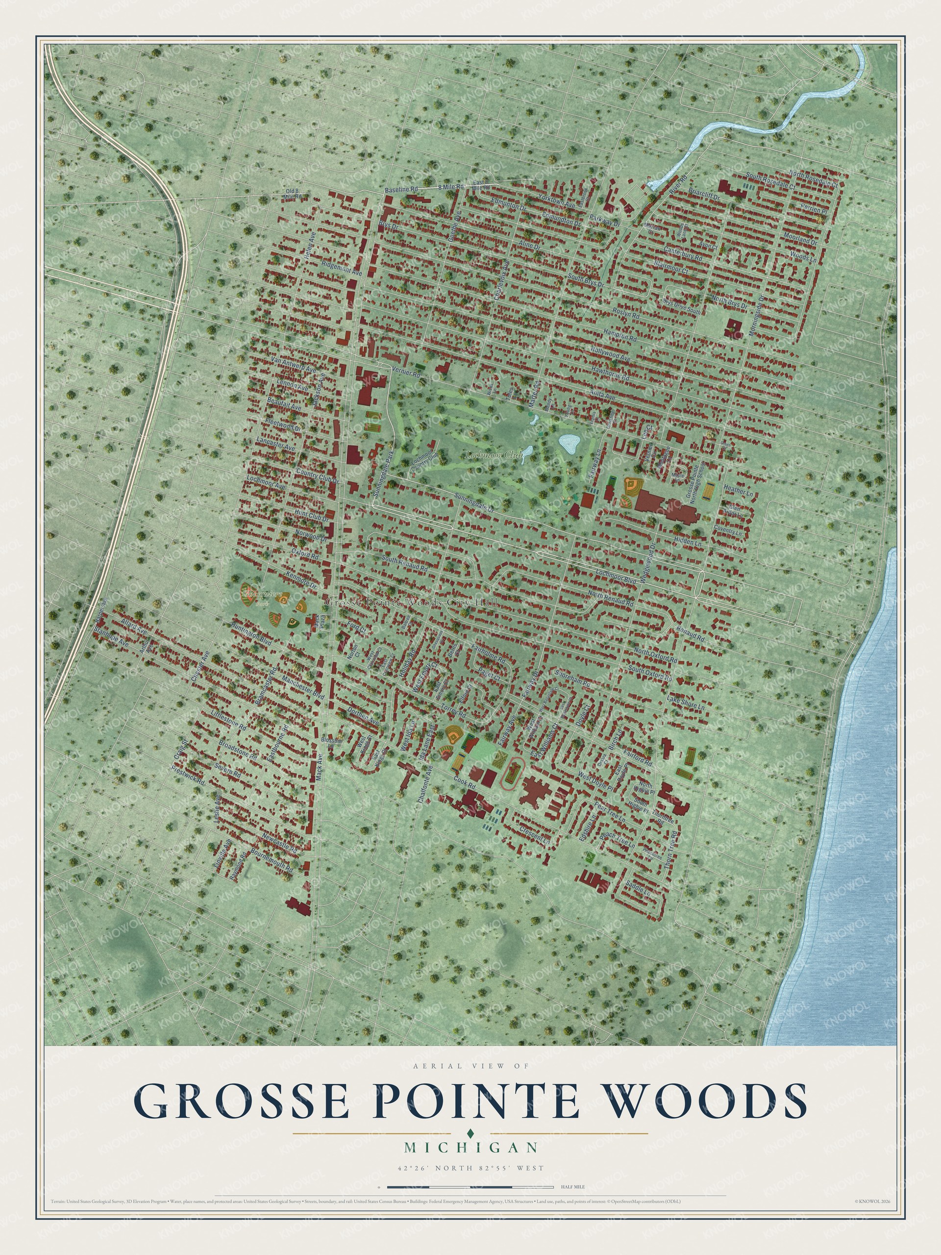
This beautifully detailed map of Grosse Pointe Woods, Michigan was created in 2026 using aerial imagery combined with modern topographical, census, street and landmark data. It's a modern aerial view of Grosse Pointe Woods in Wayne County, Michigan, that combines modern data with a vintage aesthetic. The roads feature printed names, and if you look closely you can find your exact house accurately shown in its correct location.
Explore an aerial view of Grosse Pointe Woods, Michigan
On this map you'll find Grosse Pointe Woods City Hall, Ghesquiere Park, Lochmoor Club, Mack Avenue, Morningside Drive, Lochmoor Boulevard, 8 Mile Road, Baseline Road, Sunningdale Park, Sunningdale Drive, Canterbury Road, Vernier Road, and more. Each red shape is a building, so zoom in on the preview and look for yours.
Every town has a first chapter, and Grosse Pointe Woods is no exception. The record at arcgis.com puts it this way: "On May 18, 1836, following a cholera epidemic, thirteen civic-minded women met at the Woodward Avenue Presbyterian Church and founded the Ladies’ Orphan Association of Detroit."
Grosse Pointe Woods is a city in Wayne County. The Census Bureau counted 16,487 people here in 2020.
Take a closer look at the Grosse Pointe Woods map
Names on this map
These names are printed on this map.
Places: Grosse Pointe Woods City Hall, Ghesquiere Park, Lochmoor Club and Sunningdale Park.
Streets and roads: Mack Avenue, Morningside Drive, Lochmoor Boulevard, 8 Mile Road, Baseline Road, Sunningdale Drive, Canterbury Road, Vernier Road, South Brys Drive, Prestwick Road, River Road, Wedgewood Drive.
More street names, A to Z
Aline Drive, Allard Avenue, Anita Avenue, Arthur Avenue, Avon Court, Baltree Court, Beaufait Avenue, Berns Court, Birch Lane, Blairmoor Court, Blossom Lane, Bournemouth Road, Bramcaster Road, Briarcliff Drive, Broadstone Road, Brys Drive, Brys Drive South, Chalfonte Avenue, Charlevoix Avenue, Chester Avenue, Christine Court, Cook Road, Country Club Drive, Coventry Lane, Craig Street, Crescent Lane, Dorthen Avenue, Doyle Court, East 8 Mile Road, East Ballantyne Court, Eastbourne Road, Eastbrook Court, East Clairview Court, East Doyle Place, East Emory Court, East Kings Court, East Williams Court, Edmundton Drive, Edmunton Drive, Edshire Lane, Elford Court, Fairford Road, Fairholme Road, Fairway Avenue, Fairway Drive, Fairway Lane, Fleetwood Drive, Ford Court, Ghesquiere Court, Glen Arbor Lane, Goethe Avenue, Green Court, Grosse Pointe North High School, Hampton Road, Harper Avenue, Hawthorne Road, Heather Lane, Helen Avenue, Hidden Lane, Holiday Road, Hollywood Avenue, Hunt Club Drive, Huntington Boulevard, Ida Lane East, Jackson Avenue, Kenmore Drive, Lake Shore Lane, Lancaster Avenue, Lee Court, Lennon Avenue, Leslie Avenue, Linville Avenue, Littlestone Road, Lochmoor Avenue, Lochmoor Country Club, Mack Plaza, Manchester Boulevard, Maple Lane, Marian Court, Marter Road, Montague Lane, Moorland Drive, Newcastle Road, North Brys Drive, North Higbie Place, North Oxford Road, North Renaud Road, North Rosedale Court, Norton Court, Norwood Drive, Old 8 Mile Road, Omara Court, Oxford Road, Paget Court, Parkway Drive, Peach Tree Lane, Peachtree Lane, Pear Tree Lane, Perrien Place, Raymond Road, Renaud Road, Ridgemont Avenue, Roslyn Road, Saddle Lane, Severn Road, Shoreham Road, South Higbie Place, South Oxford Road, South Renaud Road, South Rosedale Court, Stanhope Avenue, Thorn Tree Road, Thorntree Road, Toles Lane, Torrey Road, Van Antwerp Avenue, Vernier Circle, Virginia Lane, Wendy Lane, West Ballantyne Court, West Clairview Court, West Doyle Place, West Emory Court, West Ida Lane, West Kings Court, West William Court, Wicks Lane, Woods Lane, Woods Lane Court, Yorktown Avenue, Young Lane.
Created by KNOWOL in 2026. The buildings are small red shapes, the roads carry their printed names, and shaded relief shows the shape of the land. The title panel reads "AERIAL VIEW OF GROSSE POINTE WOODS, MICHIGAN" with 42°26' NORTH 82°55' WEST.
Hang it in the hallway, the office or the cabin, or give it to someone who left Grosse Pointe Woods and still calls it home. Open the preview and look for a street you know. See sizes and frames for the Grosse Pointe Woods map.