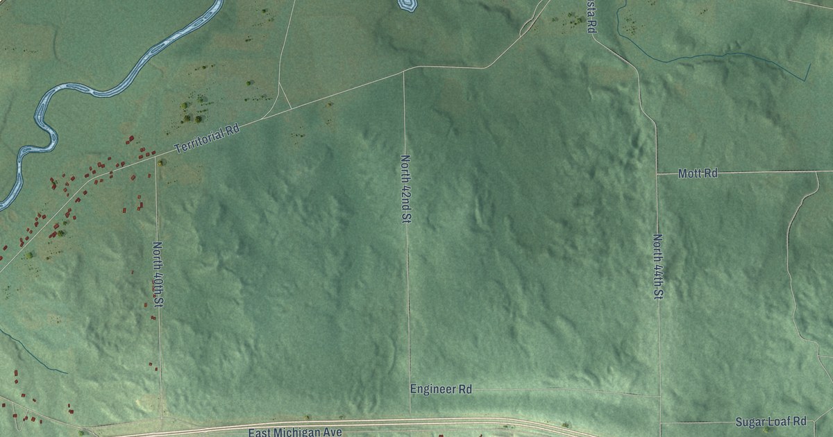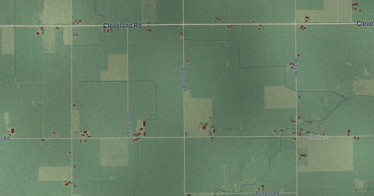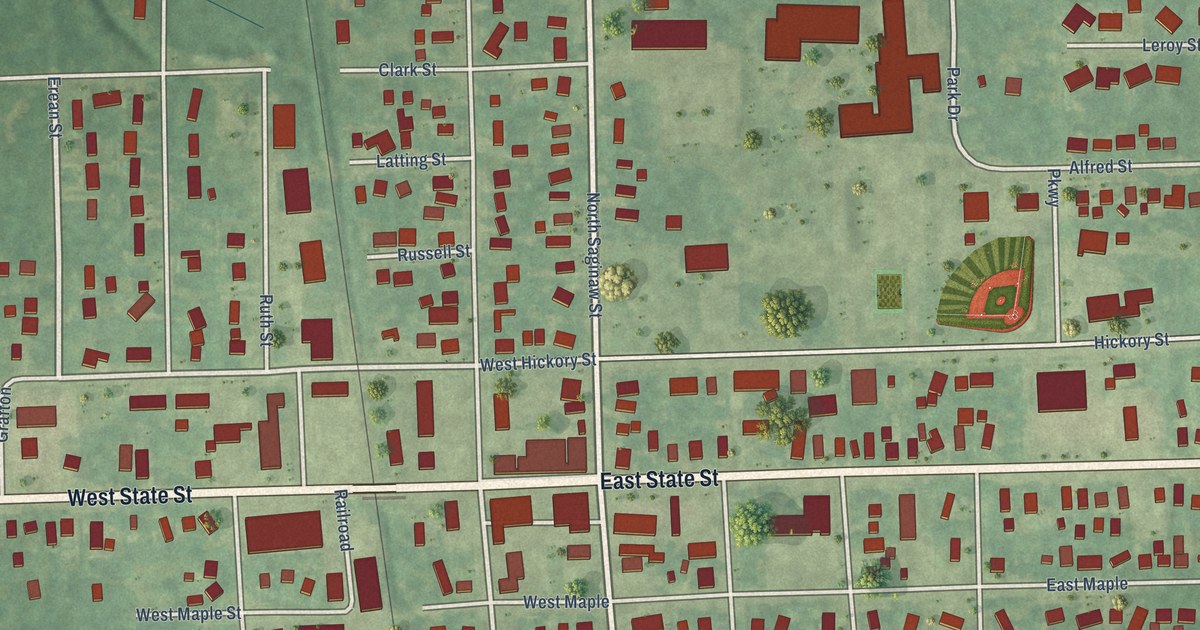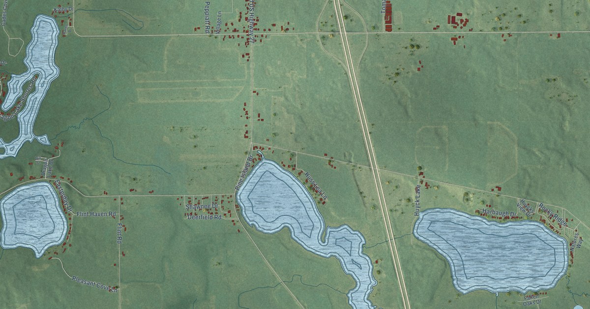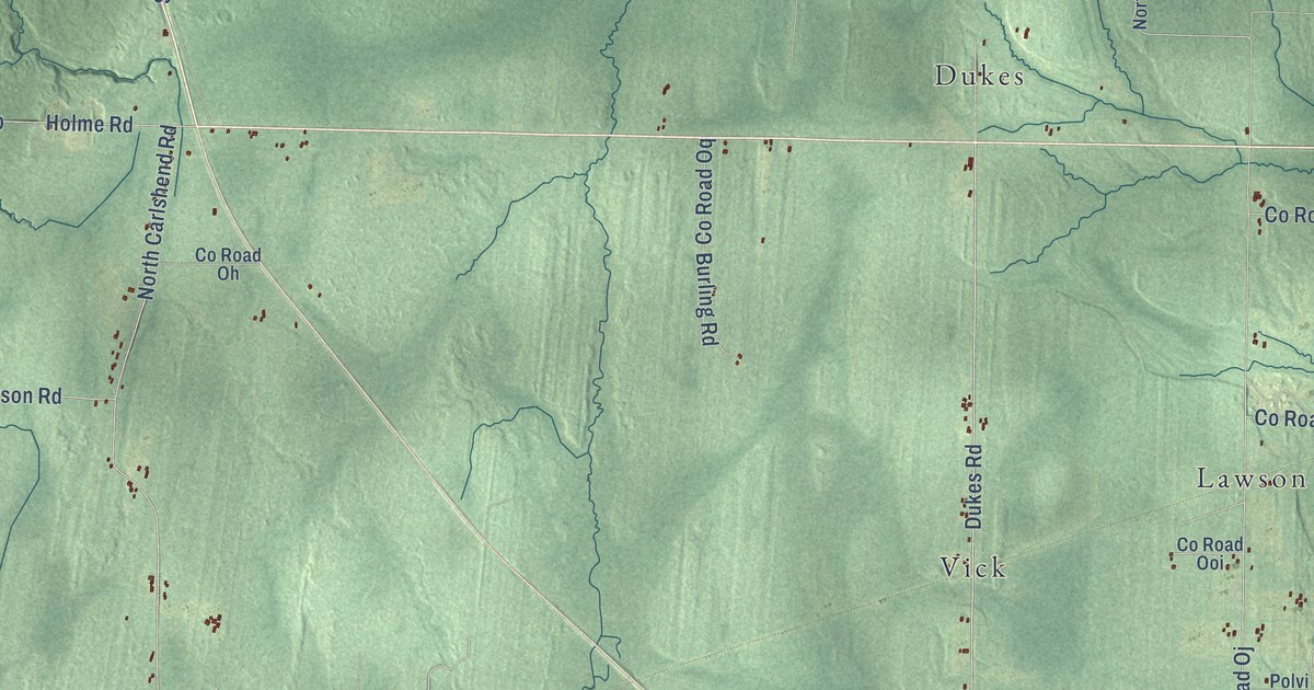
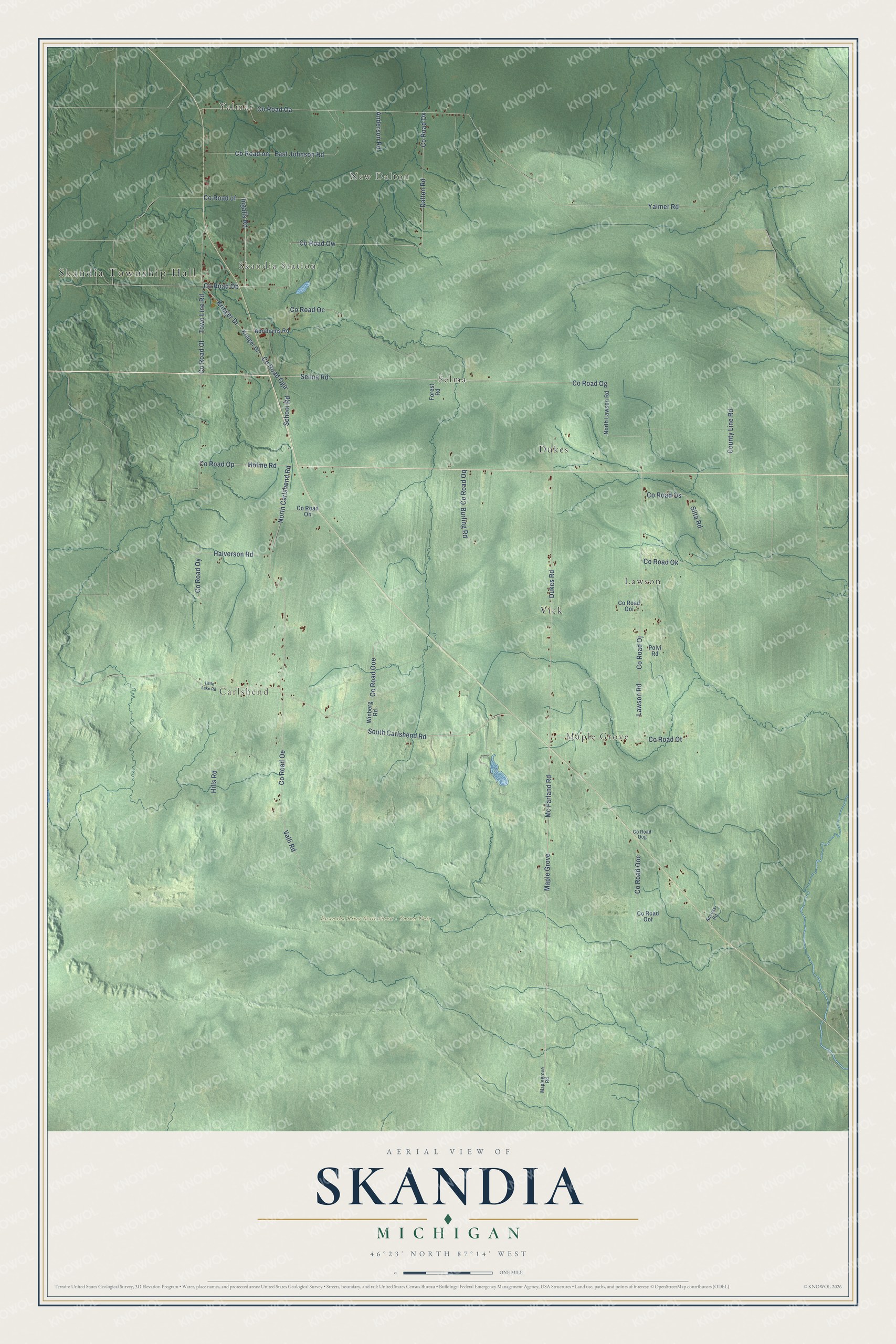
This beautifully detailed map of Skandia, Michigan was created in 2026 using aerial imagery combined with modern topographical, census, street and landmark data. It's a modern aerial view of Skandia in Marquette County, Michigan, that combines modern data with a vintage aesthetic. The roads feature printed names, and if you look closely you can find your exact house accurately shown in its correct location.
Explore an aerial view of Skandia, Michigan
On this map you'll find Skandia Township Hall, Yalmar, New Dalton, Skandia Station, Carlshend, Maple Grove, Escanaba River State Forest – Gwinn Unit, Dukes, Lawson, Selma, Vick, Co Road Ow, and more. Each red shape is a building, so zoom in on the preview and look for yours.
Here is a piece of Skandia history, in the words of the record. The record at arcgis.com puts it this way: "William Bakewell was born in Joliet, Illinois, in 1888. As a teenager he worked in Upper Peninsula logging camps before making his way to South America. In 1914 he became the only American crewmember of Sir Ernest Shackleton’s ship, Endurance, which departed Buenos Aires on an expedition to cross Antarctica."
The Census Bureau counted 810 people here in 2020.
Take a closer look at the Skandia map
Names on this map
These names are printed on this map.
Places: Skandia Township Hall, Yalmar, New Dalton, Skandia Station, Carlshend, Maple Grove, Escanaba River State Forest - Gwinn Unit, Dukes, Lawson, Selma and Vick.
Streets and roads: County Road Ow, County Road Og, Selma Road, Mc Farland Road, Dukes Road, County Road Ob, South Carlshend Road, Valli Road, County Road of, Ingalls Road, North Carlshend Road, Town Line Road.
More street names, A to Z
Abrahams Road, Access Road, Anderson Road, Burling Road, County Line Road, County Road Oa, County Road Oc, County Road Oe, County Road Oga, County Road Oh, County Road Oj, County Road Ok, County Road Ol, County Road on, County Road Ooc, County Road Ooe, County Road Oof, County Road Oog, County Road Ooi, County Road Op, County Road Oq, County Road Os, County Road Ot, County Road Ox, County Road Oy, Dalton Road, East Johnson Road, Forest Road, Halverson Road, Hills Road, Holme Road, Kreiger Drive, Krieger Drive, Lawson Road, Little Lake Road, Maplegrove Road, North Lawson Road, Polvi Road, School Road, Silta Road, Winberg Road, Yalmer Road.
Created by KNOWOL in 2026. The buildings are small red shapes, the roads carry their printed names, and shaded relief shows the shape of the land. The title panel reads "AERIAL VIEW OF SKANDIA, MICHIGAN" with 46°23' NORTH 87°14' WEST.
It suits a den, a classroom or a front hall, and it makes a gift for anyone with Skandia roots. Open the preview and find the block you know. See sizes and frames for the Skandia map.