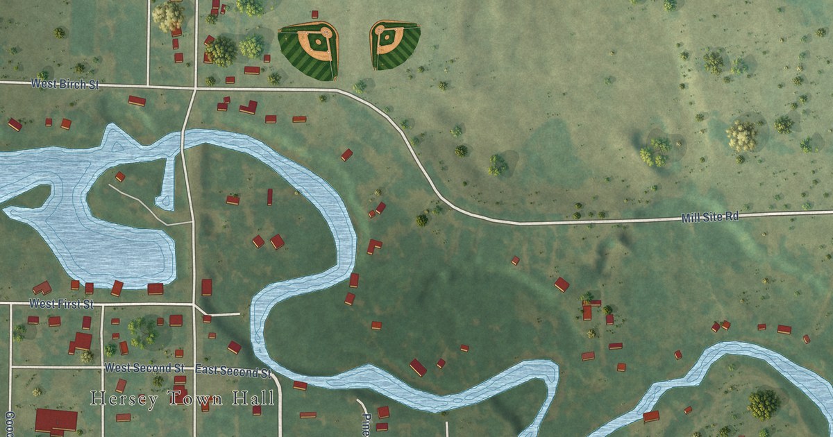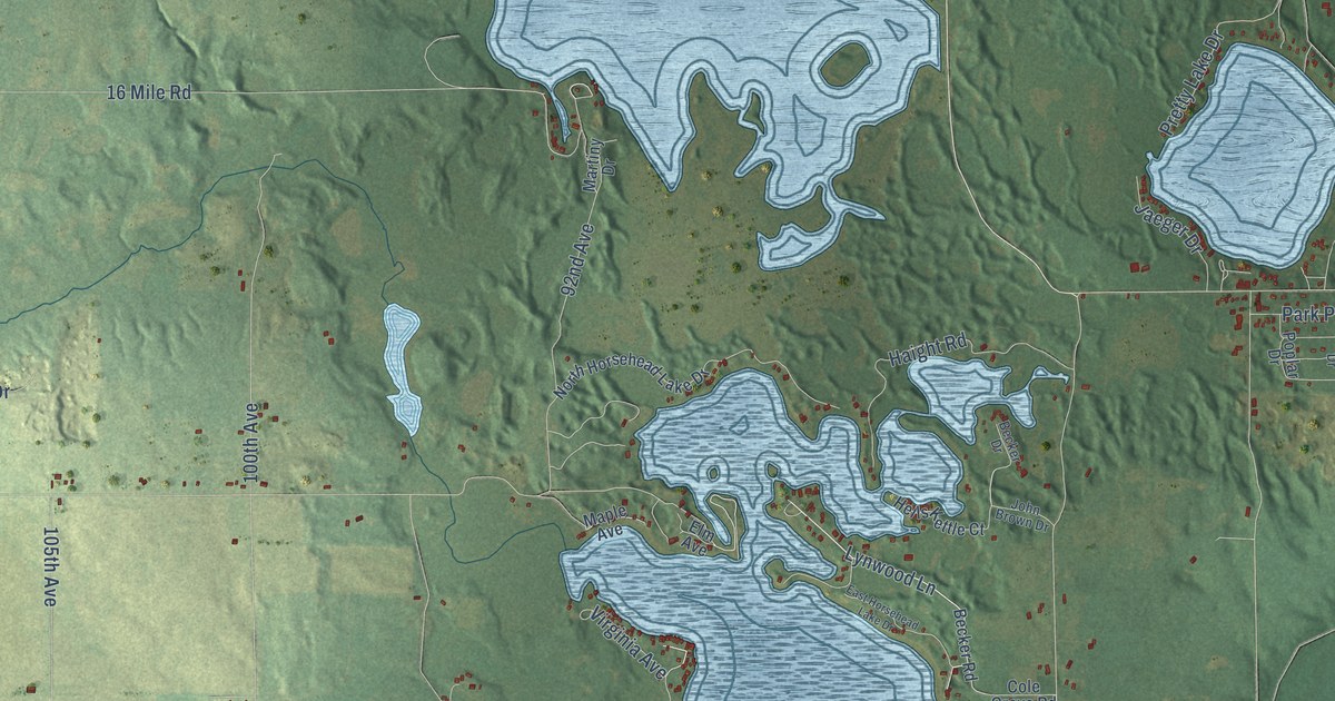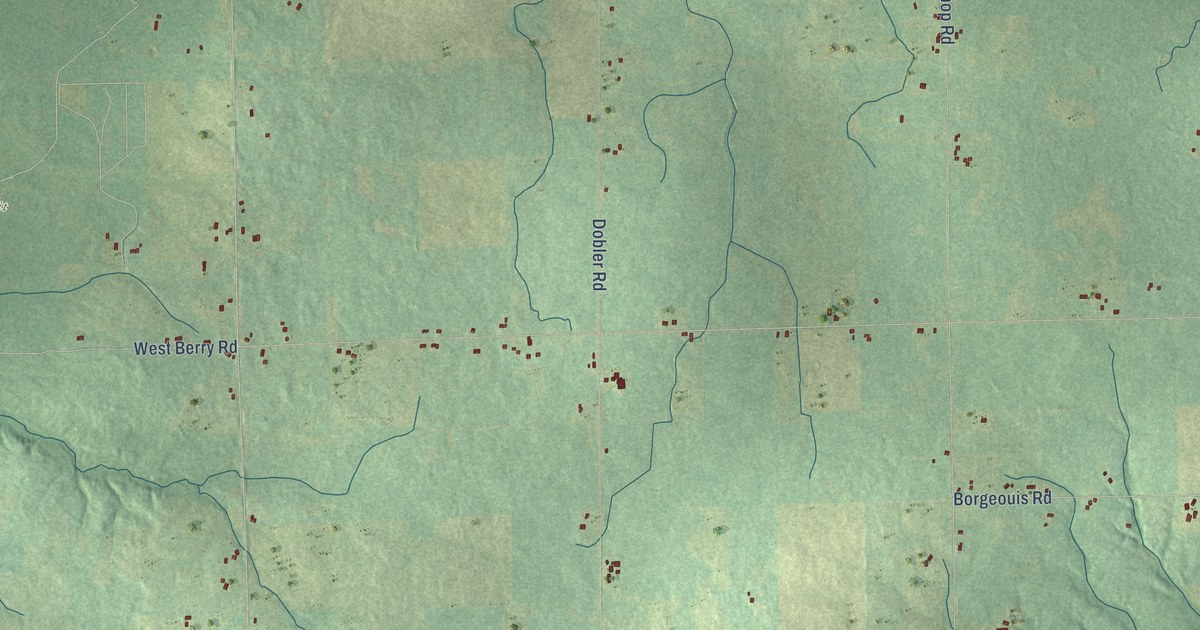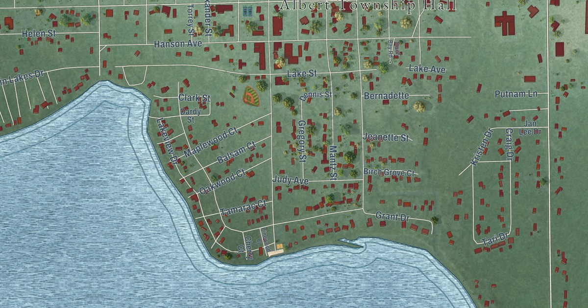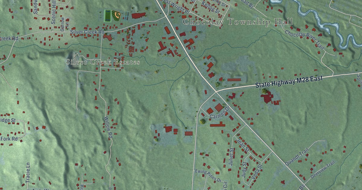
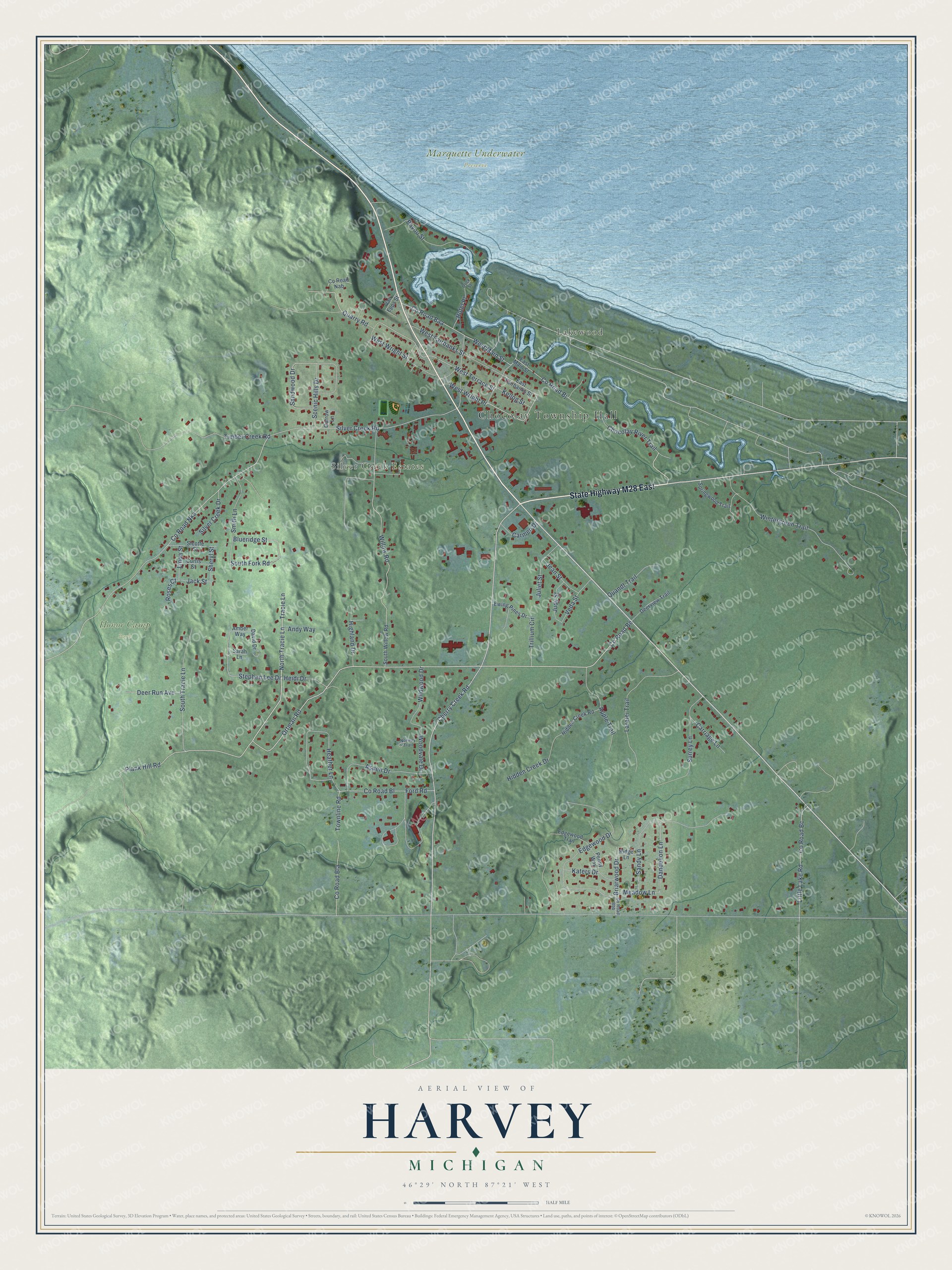
This beautifully detailed map of Harvey, Michigan was created in 2026 using aerial imagery combined with modern topographical, census, street and landmark data. It's a modern aerial view of Harvey in Marquette County, Michigan, that combines modern data with a vintage aesthetic. The roads feature printed names, and if you look closely you can find your exact house accurately shown in its correct location.
Explore an aerial view of Harvey, Michigan
On this map you'll find Chocolay Township Hall, Silver Creek Estates, Honor Camp Park, Marquette Underwater Preserve, Lakewood, State Highway M28 East, Tracie Lane, North Tracie Lane, Chocolay River Trail, Ortman Road, Plank Hill Road, West Wright Place, and more. Each red shape is a building, so zoom in on the preview and look for yours.
Harvey has a story worth telling. Harvey takes its name from Charles T. Harvey, the engineer whose canal at Sault Ste. Marie opened in 1855. In 1859 he built a new kind of kiln near the mouth of the Chocolay River, and the site became Harvey, a town he hoped would one day rival Marquette. He later drew up a plan for an experimental elevated train in New York City, and the first part of that line opened in 1868. That's from the Marquette Mining Journal.
Harvey is a community in Marquette County. The Census Bureau counted 3,244 people here in 2020. Harvey sits about 5 miles south of Marquette, 6 miles southeast of Trowbridge Park and 11 miles east of Palmer. The map prints the town name in its title panel, with the coordinates below it.
Take a closer look at the Harvey map
Names on this map
These names are printed on this map.
Places: Chocolay Township Hall, Silver Creek Estates, Honor Camp Park, Marquette Underwater Preserve and Lakewood.
Streets and roads: State Highway M28 East, Tracie Lane, North Tracie Lane, Chocolay River Trail, Ortman Road, Plank Hill Road, West Wright Place, West Terrace Street, County Road Bj, Willow Road, Heather Lane, Dandelion Lane.
More street names, A to Z
Amber Way, Andy Way, Apple Trail, Aspen Drive, Bayou Street, Blueridge Street, Briarwood Drive, Carmen Drive, Carriage Lane, Cherry Creek Road, County Road Baa, County Road Bbb, County Road Bc, County Road Be, County Road Bl, County Road Bla, County Road Nab, County Road Nka, Curtis Street, David Drive, Deer Run Avenue, Deerview Trail, Dock Street, East Fairbanks Street, East Main Street, Edgewood Drive, Edgewood Trail, Ewing Pines Drive, Ford Road, Garrow Lane, Heidi Drive, Hidden Creek Drive, Hidden Creek Road, Highland Drive, Hotel Place, Jack Street, Jean Street, Judy Street, Juliet Street, Katers Drive, Kellog Street, Laralei Trail, Linda Street, Little Lake Road, Meadow Lane, Norway Trail, Penny Way, Quandt Trail, Quarry Road, Ridge Lane, Roses Court, Sandwood Drive, Sandy Lane, Sarah Lane, Scenic Hills Drive, Sheryl Street, Sicotte Street, Silver Creek Drive, Silver Creek Road, Smith Lane, South Fork Road, South Tracie Lane, South Willow Road, Springwood Trail, Stephen Lee Drive, Surrey Lane, Timber Creek Road, Townline Road, Trillium Circle, Van Epps Street, Veda Street, West Fairbanks Street, West Main Street, West Wright Street, Wildwood Drive, Wintergreen Trail, Woodvale Drive.
See it on a wall
The Harvey map as a framed print. Swipe for more.


Created by KNOWOL in 2026. The buildings are small red shapes, the roads carry their printed names, and shaded relief shows the shape of the land. The title panel reads "AERIAL VIEW OF HARVEY, MICHIGAN" with 46°29' NORTH 87°21' WEST.
It looks right in a kitchen, an office or a den, and it's a gift for anyone who grew up in Harvey or moved away. Open the preview and find your street. See sizes and frames for the Harvey map.