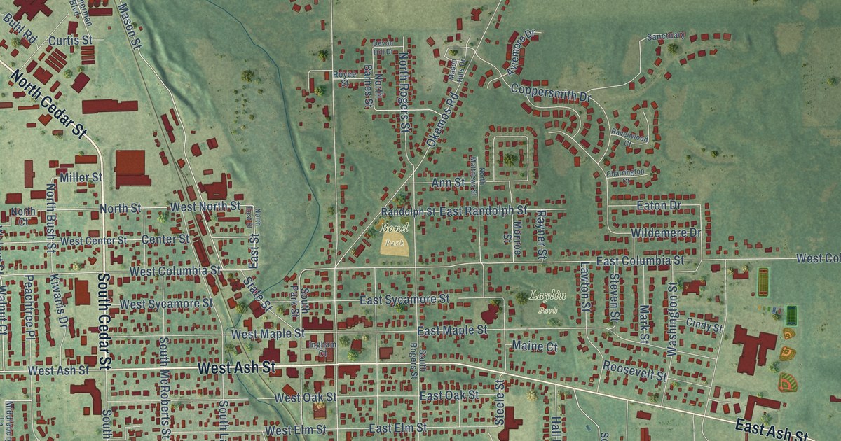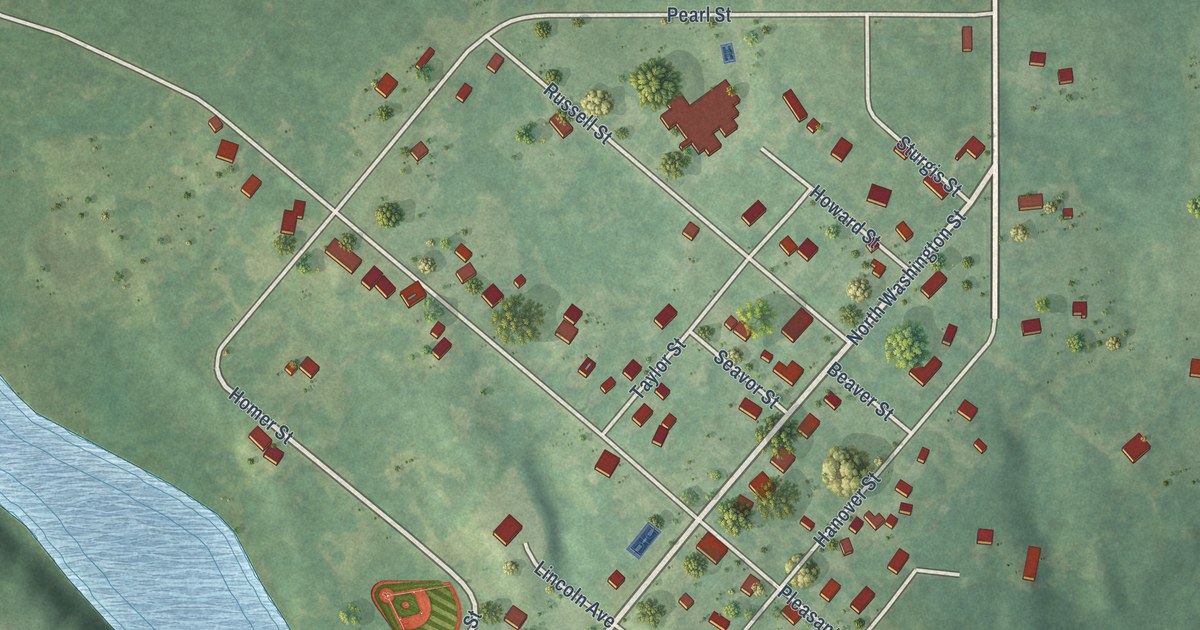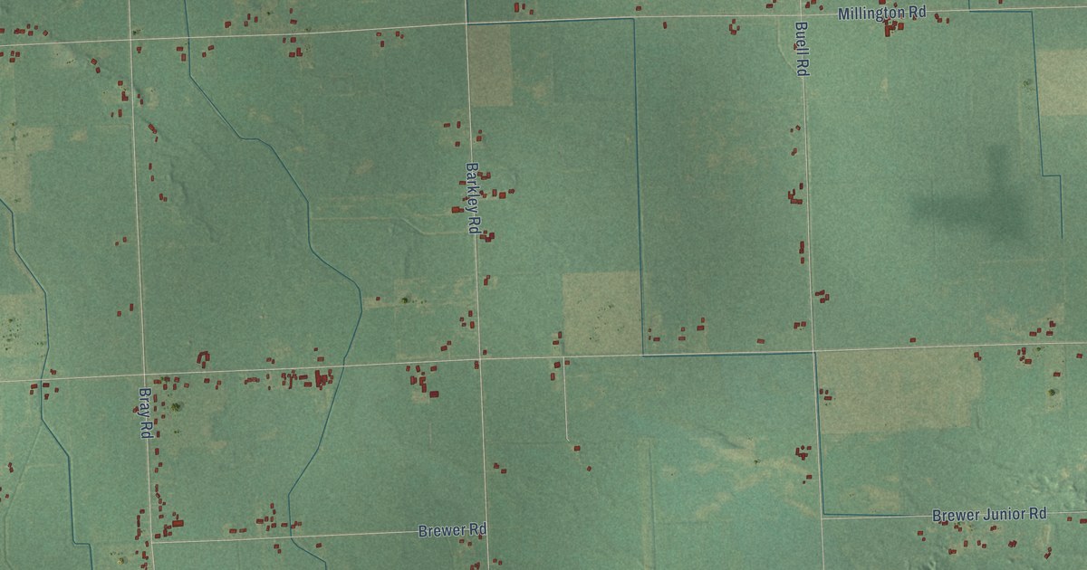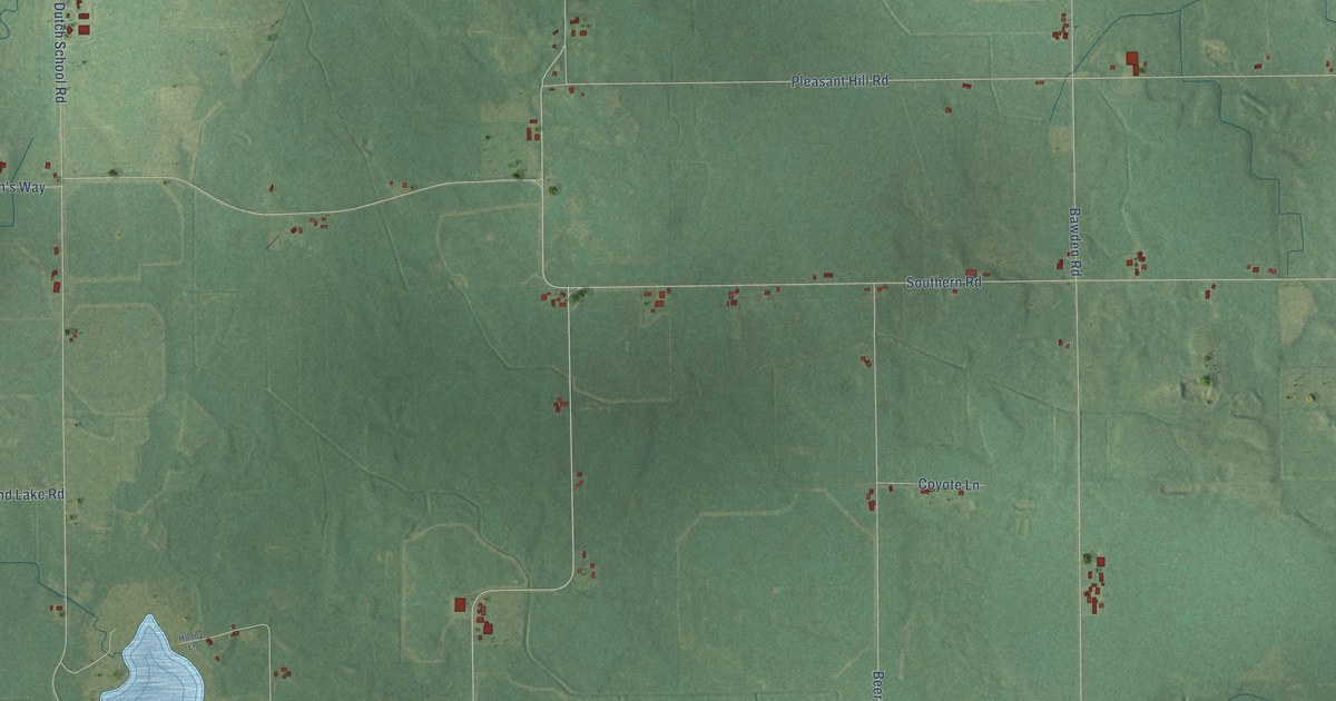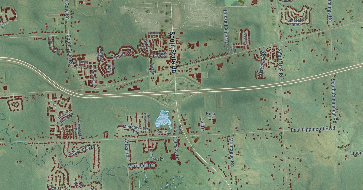
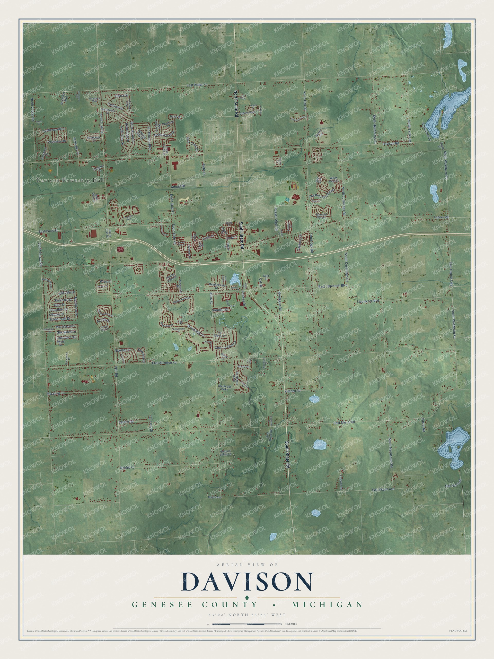
This beautifully detailed map of Davison, Michigan was created in 2026 using aerial imagery combined with modern topographical, census, street and landmark data. It's a modern aerial view of Davison in Genesee County, Michigan, that combines modern data with a vintage aesthetic. The roads feature printed names, and if you look closely you can find your exact house accurately shown in its correct location.
Explore an aerial view of Davison, Michigan
On this map you'll find Davison Township Hall, South State Road, North State Road, East Court Street, Emily Drive, Mackinaw Drive, East Bristol Road, Lapeer Road, East Potter Road, Irish Road, East Atherton Road, Davison Road, and more. Each red shape is a building, so zoom in on the preview and look for yours.
Davison has a story worth telling. The History of Genesee County puts it this way: "Davison was annexed to Genesee County by an act of the Legislature, approved March 9, 1843."
The Census Bureau counted 20,434 people here in 2020.
Take a closer look at the Davison map
Names on this map
These names are printed on this map.
Places: Davison Township Hall and Colony Park.
Streets and roads: South State Road, North State Road, East Court Street, Emily Drive, Mackinaw Drive, East Bristol Road, Lapeer Road, East Potter Road, Irish Road, East Atherton Road, Davison Road, South Vassar Road.
More street names, A to Z
Adams Court, Airport Drive, Alger Drive, Allegan Drive, Aloha Street, Amore Drive, Antrim Drive, Ardythe Lane, Atlas Road, Barden Road, Bellechasse Drive, Belle Meade Drive, Blankenship Circle, Bluebell Lane, Boulder Drive, Brandywine Drive, Brier Crest Drive, Cal Drive, Castleward Drive, Championship Drive, Charter Oaks Drive, Chatwell Club Drive, Chatwell Drive, Chestnut Circle East, Clearwater Drive, Cobblestone Boulevard, Country Club Lane, Cranbrook Pwky, Creekview Drive, Crossings Circle, Crystalwood Drive, Deerfield Drive, Devin Drive, Donelson Trail, East County Line, East Lippincott Boulevard, East Maple Avenue, Emerald Forest, Fairway Drive, Faulkner Drive, Fox Run Drive, Golfcrest Drive, Griffin Road, Hampton Drive, Hardwood Drive, Hasler Road, Hermitage Drive, Hillsdale Drive, Holly Tree Drive, Houghton Drive, Jamie Drive, Janiece Drive, Jenna Drive, Kalkaska Drive, Kensington Boulevard, Kessling Street, Kitchen Road, Kota Court, Lang Road, Lang Street, La Spezia Drive, Lebanon Trail, Legacy Lane, Lempi Drive, Lily Court, Linda Drive, Lippincott Boulevard, Main Gate Drive, Maple Avenue, Mapleview Drive, McClellan Boulevard, McClelland Boulevard, Meadowview Drive, Misty Lane, Montague Road, Mount Juliet Drive, Mozart Avenue, Myers Drive, Newcastle Drive, Noblet Road, North Baxter Road, North Cummings Road, North Gale Road, North Henderson Road, North Irish Road, North Oak Road, North Vassar Road, North Washburn Road, Oak Glen, Oak Hill Trail, Oak Shade Drive, Ohara Drive, Old Hickory Boulevard, Orchard Valley Lane, Parkway Drive, Peregrin Drive, Pine Grove Road, Popplewood Drive, Rayna Drive, Richards Road, Rivershyre Parkway, Russell Alger Drive, Schoolcraft Drive, Shalin Drive, Sherwood Lane, Shyre Circle, Shyre Lane, Silver Pond Drive, Solarwood Drive, South Cummings Road, South Drive, South Gale Road, South Henderson Road, South Irish Road, South Oak Road, South Washburn Road, Southwick Drive, Stillwater Drive, Stonebrook, Sugarbush Drive, Surrey Lane, Timberwood Drive, Turtle Creek Drive, Valley Vista Drive, Varodell Drive, Waterford Way, West Blarney Drive, White Pine Drive, Wicklow North Drive, Wicklow South Drive, Winding Way Drive, Woodland Drive, Woodridge Drive, Wren Drive, Yorktown Court.
Created by KNOWOL in 2026. The buildings are small red shapes, the roads carry their printed names, and shaded relief shows the shape of the land. The title panel reads "AERIAL VIEW OF DAVISON, GENESEE COUNTY • MICHIGAN" with 43°02' NORTH 83°33' WEST.
It looks right in a kitchen, an office or a den, and it's a gift for anyone who grew up in Davison or moved away. Open the preview and find your street. See sizes and frames for the Davison, Genesee County map.