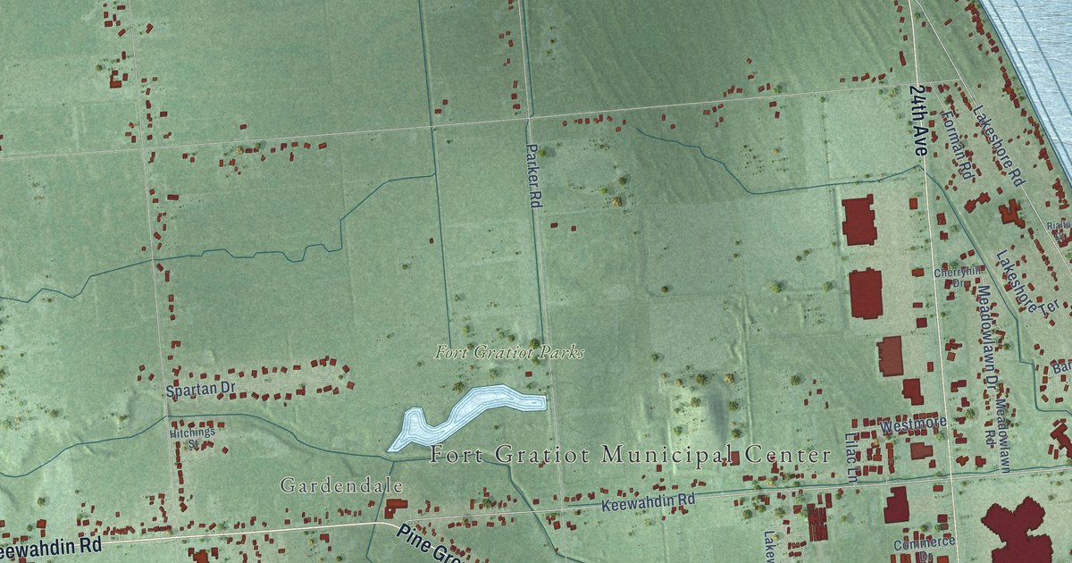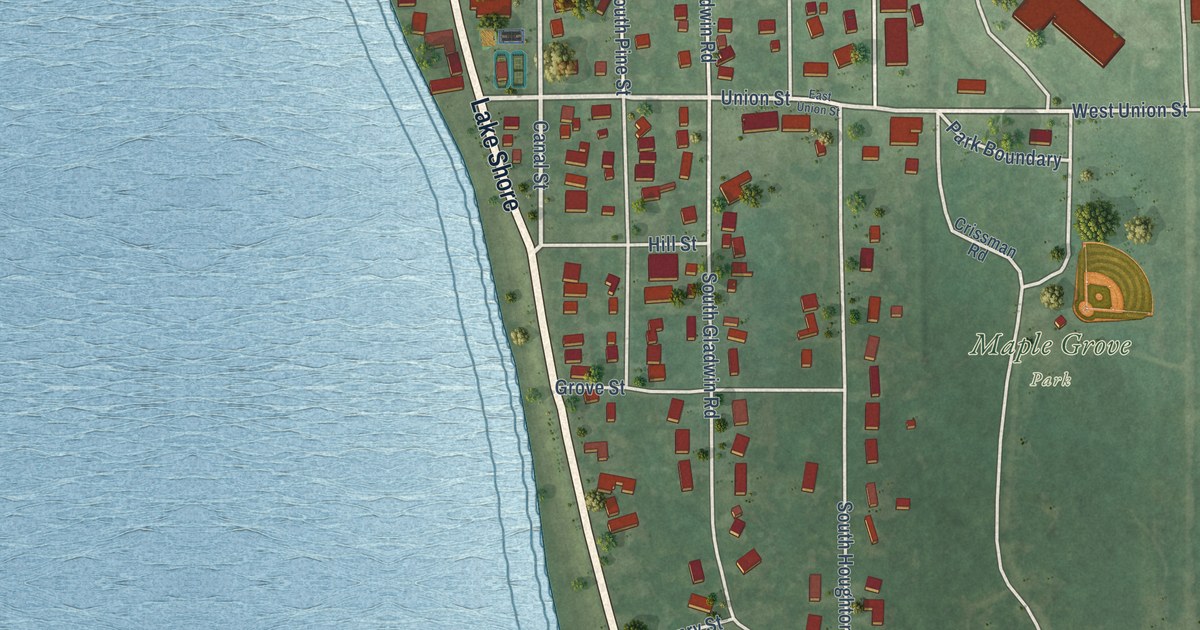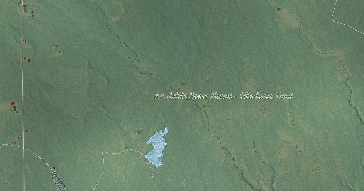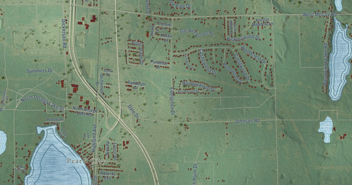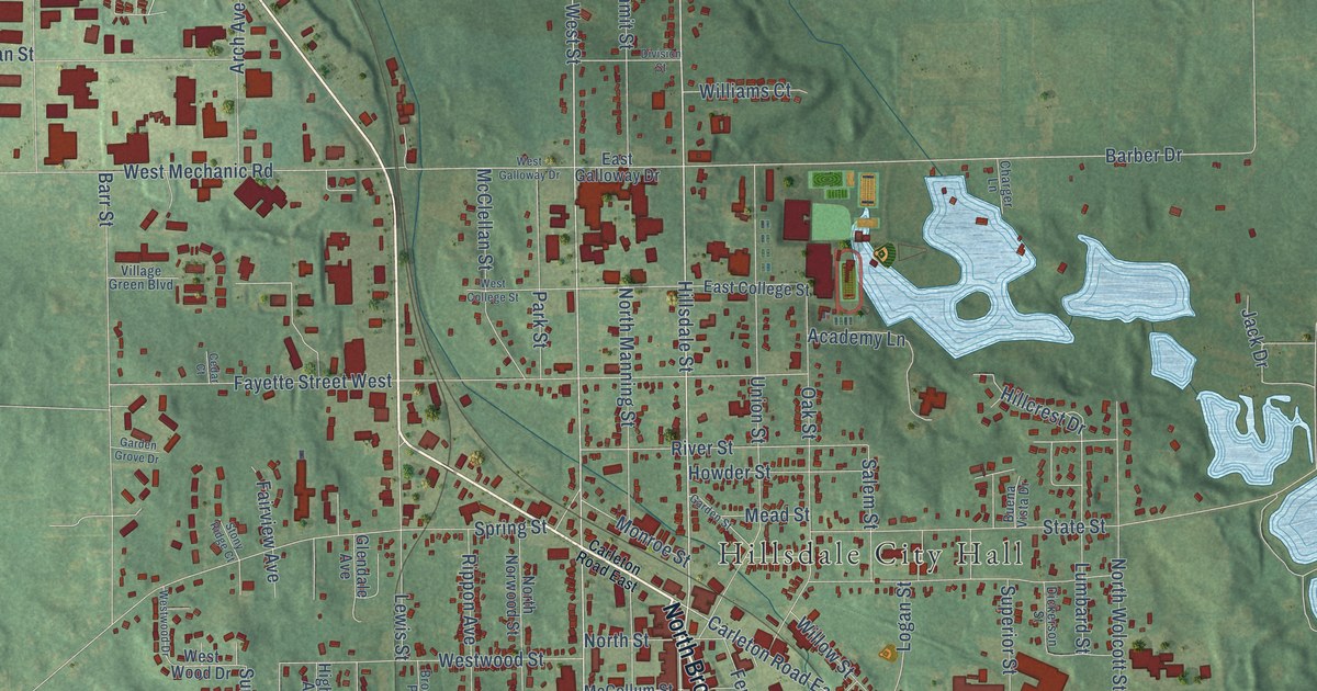
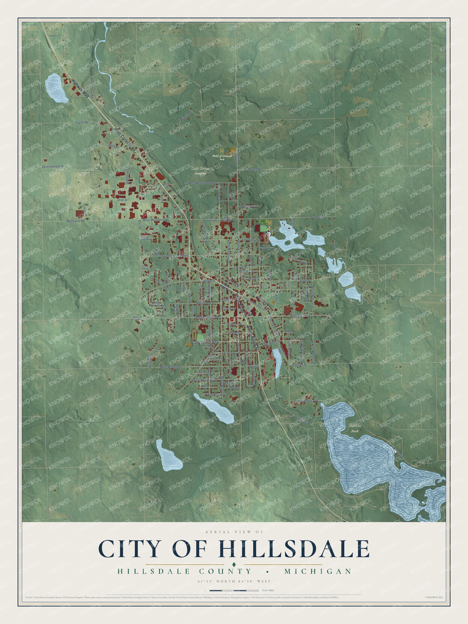
This beautifully detailed map of Hillsdale, Michigan was created in 2026 using aerial imagery combined with modern topographical, census, street and landmark data. It's a modern aerial view of Hillsdale in Hillsdale County, Michigan, that combines modern data with a vintage aesthetic. The roads feature printed names, and if you look closely you can find your exact house accurately shown in its correct location.
Explore an aerial view of Hillsdale, Michigan
On this map you'll find Hillsdale City Hall, Field of Dreams Park, Oak Grove Cemetery, Owens Park, West Carleton Road, North Broad Street, South Broad Street, Highway M99, Hillsdale Street, North West Street, South Howell Street, East Bacon Street, and more. Each red shape is a building, so zoom in on the preview and look for yours.
Here is a piece of Hillsdale history, in the words of the record. The History and Biography of Hillsdale County puts it this way: "The First National Bank is one of the solid institutions of Hillsdale. It was organized on February 24, 1863, being the fifth national bank in Michigan."
Hillsdale is a city in Hillsdale County. The Census Bureau counted 8,036 people here in 2020.
Take a closer look at the Hillsdale map
Names on this map
These names are printed on this map.
Places: Hillsdale City Hall, Field of Dreams Park, Oak Grove Cemetery and Owens Park.
Streets and roads: West Carleton Road, North Broad Street, South Broad Street, Highway M99, Hillsdale Street, North West Street, South Howell Street, East Bacon Street, Bacon Street West, South Street West, Reading Avenue, Carleton Road East.
More street names, A to Z
Academy Lane, Arch Avenue, Armstrong Street, Barber Drive, Barnard Street, Barr Street, Barry Street, Beck Road, Brookside Parkway, Budlong Street, Buena Vista Drive, Cedar Court, Charger Lane, Charles Street, Development Drive, Dickerson Street, Division Street, East College Street, East Galloway Drive, East Hallett Street, East Saint Joe Street, East Sharp Street, East South Street, Elm Hill, Elm Street, Fairview Avenue, Fayette Street West, Ferris Street, Foxtail Lane, Frisbie Street, Garden Grove Drive, Garden Street, Glendale Avenue, Goodrich Avenue, Greenwood Avenue, Griswold Street, Hidden Meadows Drive, Highland Avenue, Hillcrest Drive, Hine Drive, Howder Street, Industrial Drive, Jack Drive, Lakeview Court, Lakeview Drive, Leroy Street, Lewis Street, Logan Street, Lumbard Street, Mauck Road, McClellan Street, McCollum Street, Mead Street, Mechanic Road, Monroe Street, Morry Street, North Hillsdale Road, North Manning Street, North Norwood Street, North Street, North Wolcott Street, Oak Street, Park Street, Rea Street, Rippon Avenue, River Street, Salem Street, South Manning Street, South Norwood Street, South West Street, South Wolcott Street, Spring Street, State Street, Steamburg Road, Stony Ridge Court, Sumac Drive, Summit Street, Superior Street, Taylor Road, Union Street, Uran Street, Village Green Boulevard, Waldron Street, Walnut Street, Warren Avenue, Water Works Avenue, West Bacon Road, West College Street, West Galloway Drive, West Hallett Street, West Lynwood Boulevard, West Mechanic Road, West Montgomery Street, West Moore Road, West Saint Joe Street, West Wood Drive, Westwood Drive, Westwood Street, Wicker Place, Wildlife Drive, Williams Court, Willow Street.
Created by KNOWOL in 2026. The buildings are small red shapes, the roads carry their printed names, and shaded relief shows the shape of the land. The title panel reads "AERIAL VIEW OF CITY OF HILLSDALE, HILLSDALE COUNTY • MICHIGAN" with 41°55' NORTH 84°38' WEST.
It suits a den, a classroom or a front hall, and it makes a gift for anyone with Hillsdale roots. Open the preview and find the block you know. See sizes and frames for the Hillsdale map.