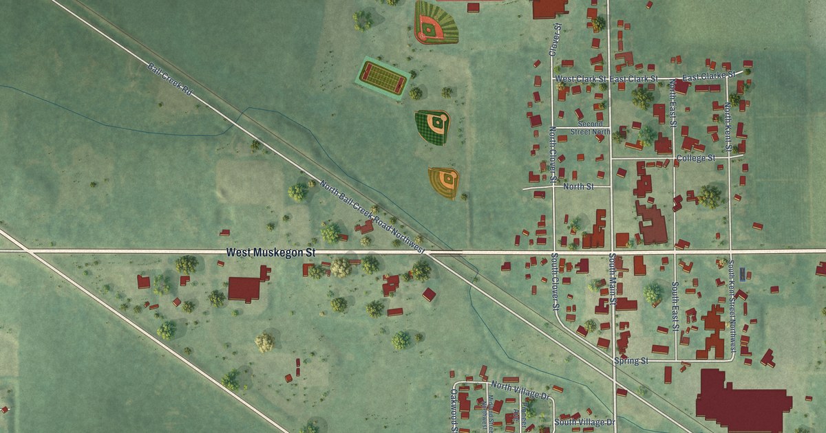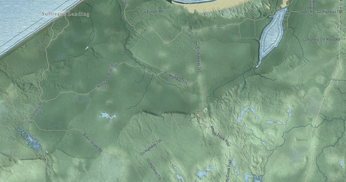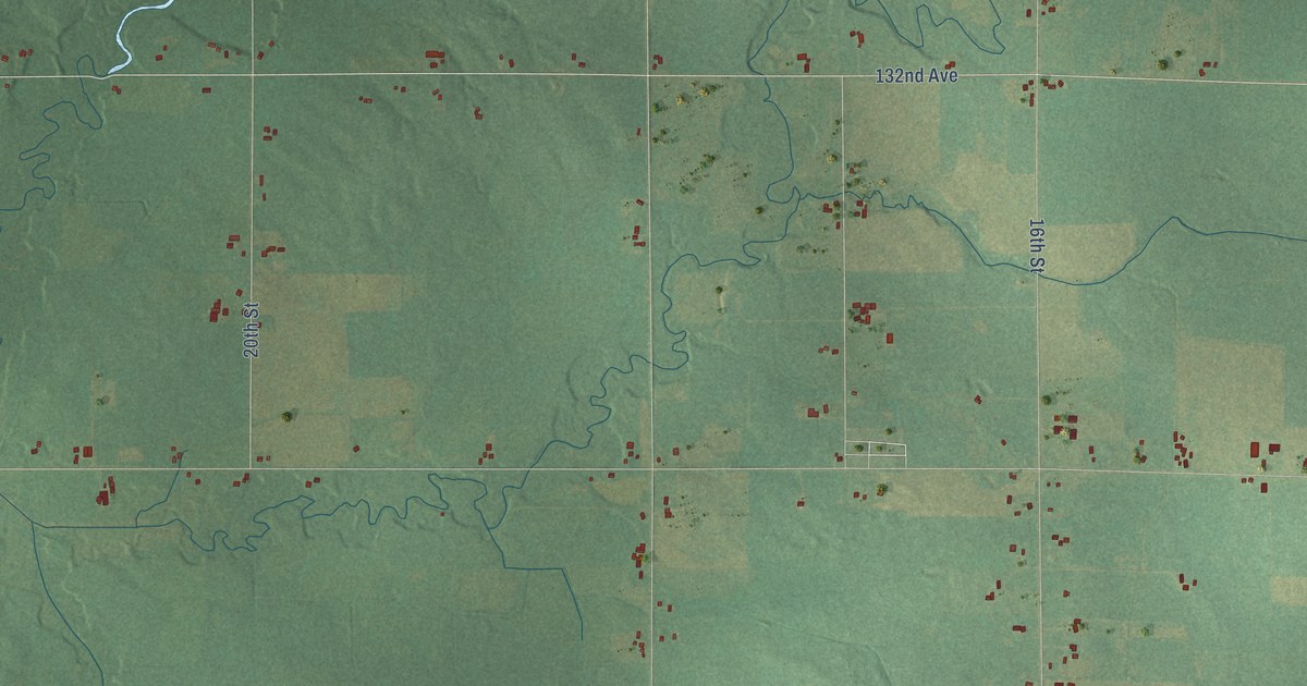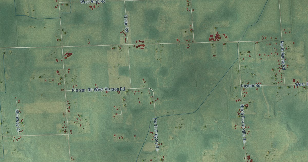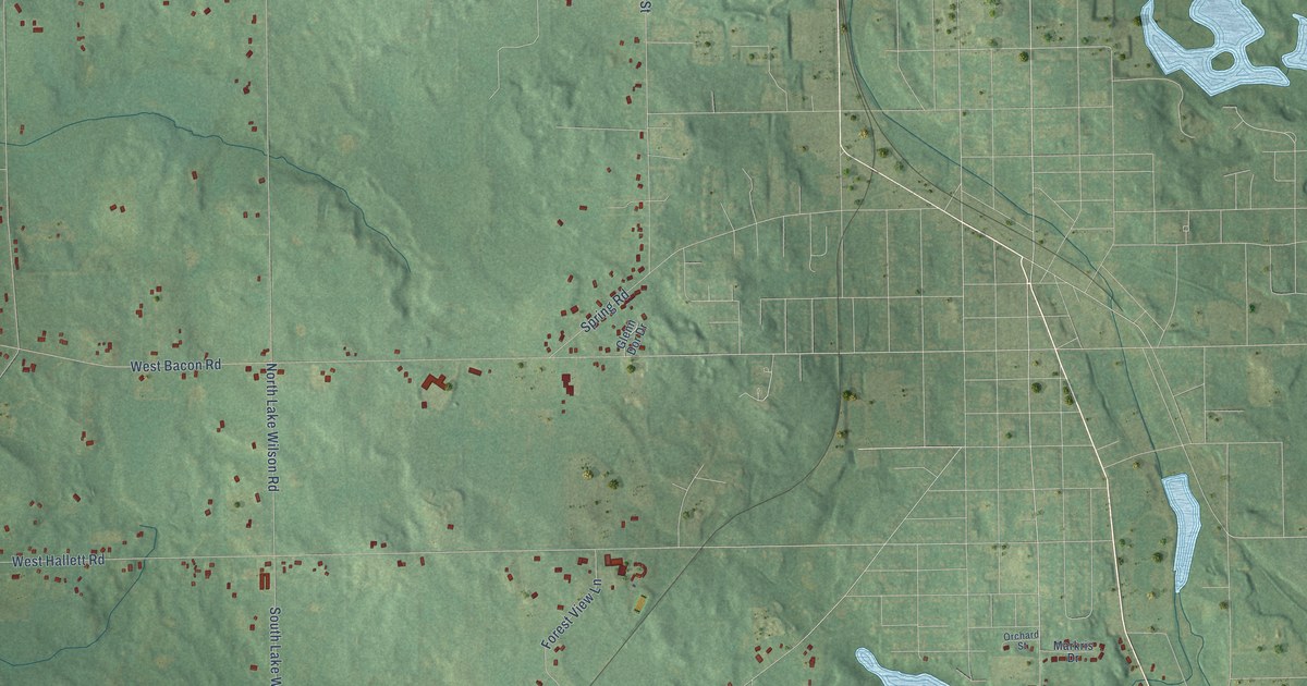
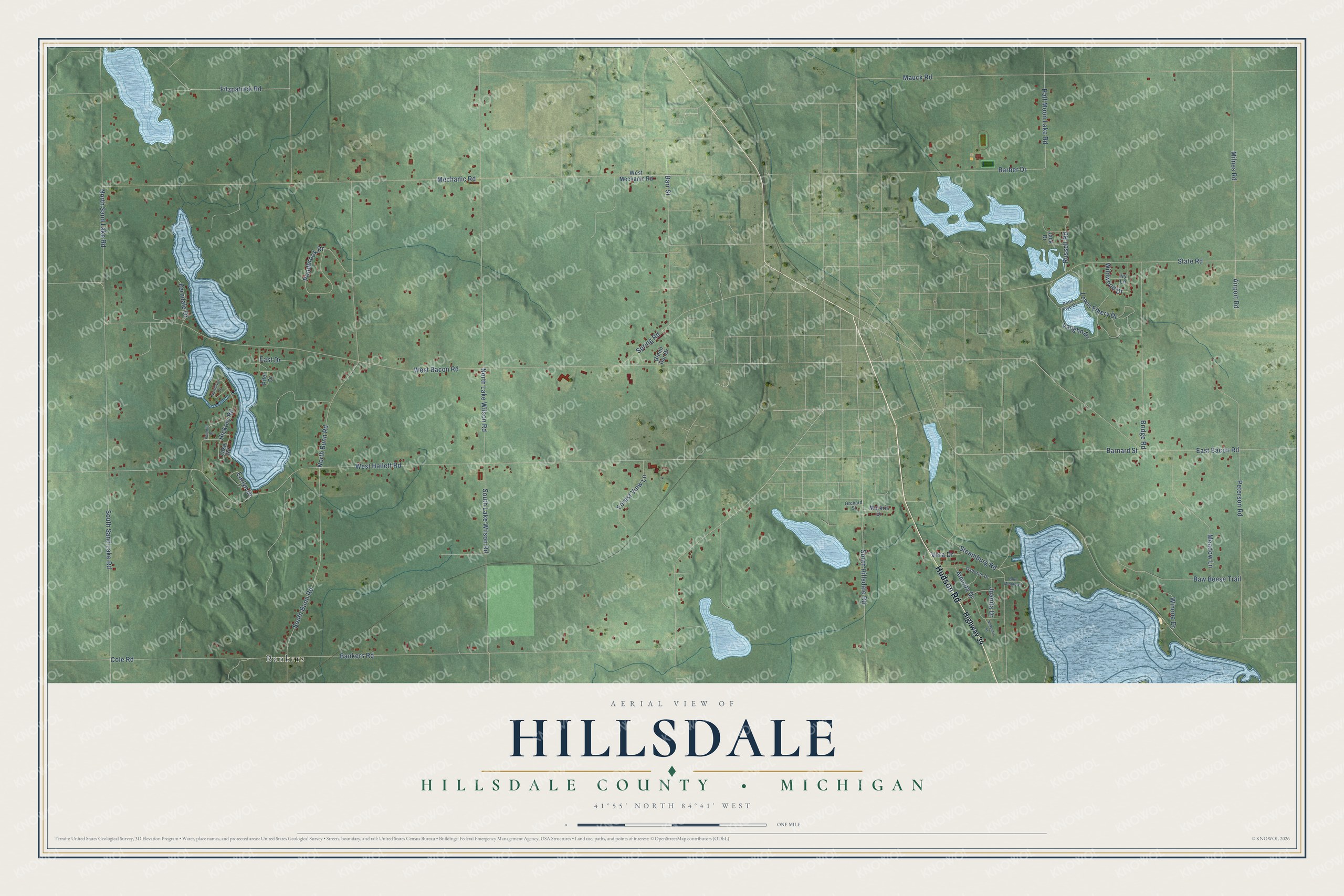
This beautifully detailed map of Hillsdale, Michigan was created in 2026 using aerial imagery combined with modern topographical, census, street and landmark data. It's a modern aerial view of Hillsdale in Hillsdale County, Michigan, that combines modern data with a vintage aesthetic. The roads feature printed names, and if you look closely you can find your exact house accurately shown in its correct location.
Explore an aerial view of Hillsdale, Michigan
On this map you'll find Bankers, Hudson Road, South Bunn Road, Barnard Street, Barber Drive, Airport Road, West Hallett Road, West Bacon Road, Bankers Road, Mechanic Road, North Bunn Road, North Lake Wilson Road, and more. Each red shape is a building, so zoom in on the preview and look for yours.
Hillsdale has a story worth telling. The record at arcgis.com puts it this way: "Men from Monroe, Hillsdale and Lenawee counties met in Hillsdale to form the Eighteenth Michigan Infantry Regiment."
The Census Bureau counted 2,002 people here in 2020.
Take a closer look at the Hillsdale map
Names on this map
These names are printed on this map.
Places: Bankers.
Streets and roads: Hudson Road, South Bunn Road, Barnard Street, Barber Drive, Airport Road, West Hallett Road, West Bacon Road, Bankers Road, Mechanic Road, North Bunn Road, North Lake Wilson Road, North Sand Lake Road.
More street names, A to Z
Almeda Drive, Barr Street, Baw Beese Trail, Blue Meadows, Bridge Road, Cole Road, Earlyn Drive, East Bacon Road, East Drive, Ferndale Drive, Fitzpatrick Road, Forest View Lane, Glenn Dor Drive, Half Moon Lake Road, Hickory Road, Highway 34, Ivy Lane, Jack Drive, Juanita Drive, Lake Road, Lewis Emery Drive, Markris Drive, Mauck Road, Meadow Lane, Milnes Road, Nakomis Street, Northview Drive, Orchard Street, Osborne Drive, Peterson Road, Pifer Drive, Pinehill Drive, Pondbrook Drive, Pond Five Drive, Russell Road, South Hillsdale Road, South Lake Wilson Road, South Sand Lake Road, Spring Road, State Road, Steamburg Road, Vaughn Drive, Vera Drive, West Mechanic Road, Wildwood Drive, Winona Drive.
Created by KNOWOL in 2026. The buildings are small red shapes, the roads carry their printed names, and shaded relief shows the shape of the land. The title panel reads "AERIAL VIEW OF HILLSDALE, HILLSDALE COUNTY • MICHIGAN" with 41°55' NORTH 84°41' WEST.
It looks right in a kitchen, an office or a den, and it's a gift for anyone who grew up in Hillsdale or moved away. Open the preview and find your street. See sizes and frames for the Hillsdale, Hillsdale County map.