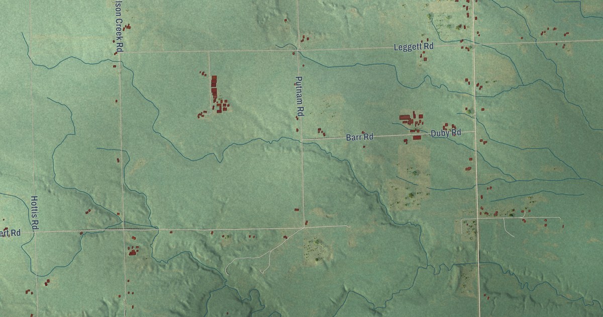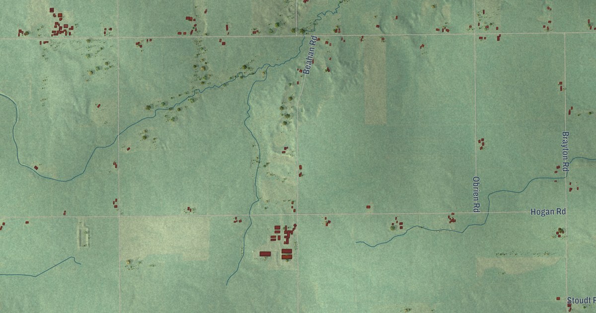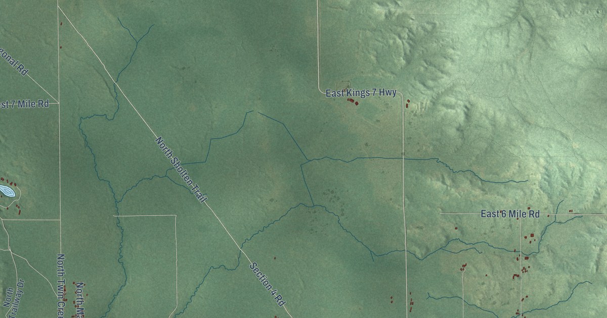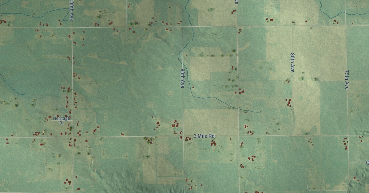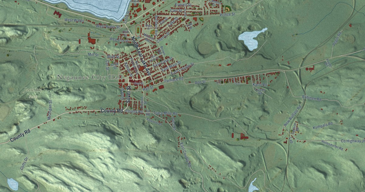
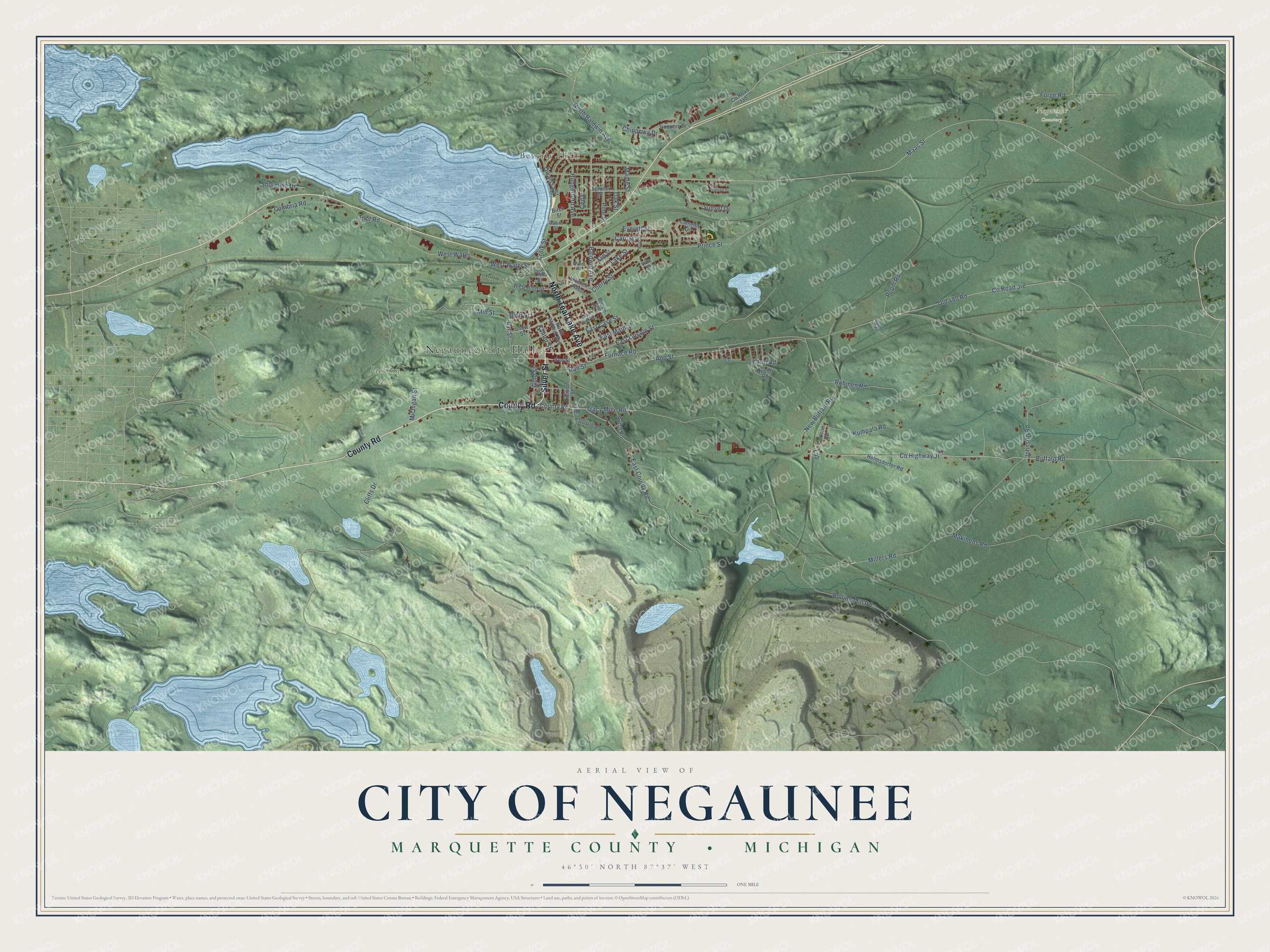
This beautifully detailed map of Negaunee, Michigan was created in 2026 using aerial imagery combined with modern topographical, census, street and landmark data. It's a modern aerial view of Negaunee in Marquette County, Michigan, that combines modern data with a vintage aesthetic. The roads feature printed names, and if you look closely you can find your exact house accurately shown in its correct location.
Explore an aerial view of Negaunee, Michigan
On this map you'll find Negaunee City Hall, Beverly Hills, Jackson Park, Negaunee Cemetery, Silver Street, North Teal Lake Avenue, County Road, Furnace Road, East County Road, Baldwin Avenue, Ann Street, Buffalo Road, and more. Each red shape is a building, so zoom in on the preview and look for yours.
Every town has a first chapter, and Negaunee is no exception. The History of the Upper Peninsula of Michigan puts it this way: "The same year, he inaugurated a local religious paper, called the Negaunee Church Visitor, which lived through two issues. The twelfth anniversary of the Negaunee Methodist Episcopal Church was observed June 11, 12 and 13, 1881."
Negaunee is a city in Marquette County. The Census Bureau counted 4,627 people here in 2020.
Take a closer look at the Negaunee map
Names on this map
These names are printed on this map.
Places: Negaunee City Hall, Beverly Hills, Jackson Park and Negaunee Cemetery.
Streets and roads: Silver Street, North Teal Lake Avenue, County Road, Furnace Road, East County Road, Baldwin Avenue, Ann Street, Buffalo Road, East Case Street, County Highway Jf, North Baldwin Avenue, Cherry Street.
More street names, A to Z
Alice Street, Birch Street, Bluff Street, Brown Avenue, Burt Street, Cambria Road, Camelot Drive, Carlson Road, Carr Street, Cedar, Chippewa Drive, Cliffs Drive, Cliff Street, Collins Street, County Road Jad, County Road Jre, Croix Street, Cyr Street, Division Street, East Lincoln Street, East Main Street, East Peck Street, Elm Street, Everett Street, Forge Road, Gold Street, Helmsdorfer Road, Hungerford Avenue, Iron Street, Iroquois Drive, Johnson Road, Kanter Street, Karhi Road, Kumpala Road, Lab, Lake Street, Maas Street, Makinens Road, Maple Street, Michigan Street, Millers Road, Mill Street, Mitchell Avenue, New Buffalo Road, North Pioneer Avenue, Oak Street, Old 480 Road, Owaissa Street, Patch Road, Pepin Road, Pine Street, Powder Mill, Prince Street, Queen Road, Rail Street, Rappazini Road, Riihinen Road, Rolling Mill Road, Shoreline Drive, Snow Street, Spruce Street, Sterling Street, Sunset Drive, Tilot Road, Tracy Mine Road, Vine Street, Water Street, West Arch Street, West Water, West Water Street, Woodland Drive.
Created by KNOWOL in 2026. The buildings are small red shapes, the roads carry their printed names, and shaded relief shows the shape of the land. The title panel reads "AERIAL VIEW OF CITY OF NEGAUNEE, MARQUETTE COUNTY • MICHIGAN" with 46°30' NORTH 87°37' WEST.
Hang it in the hallway, the office or the cabin, or give it to someone who left Negaunee and still calls it home. Open the preview and look for a street you know. See sizes and frames for the Negaunee map.