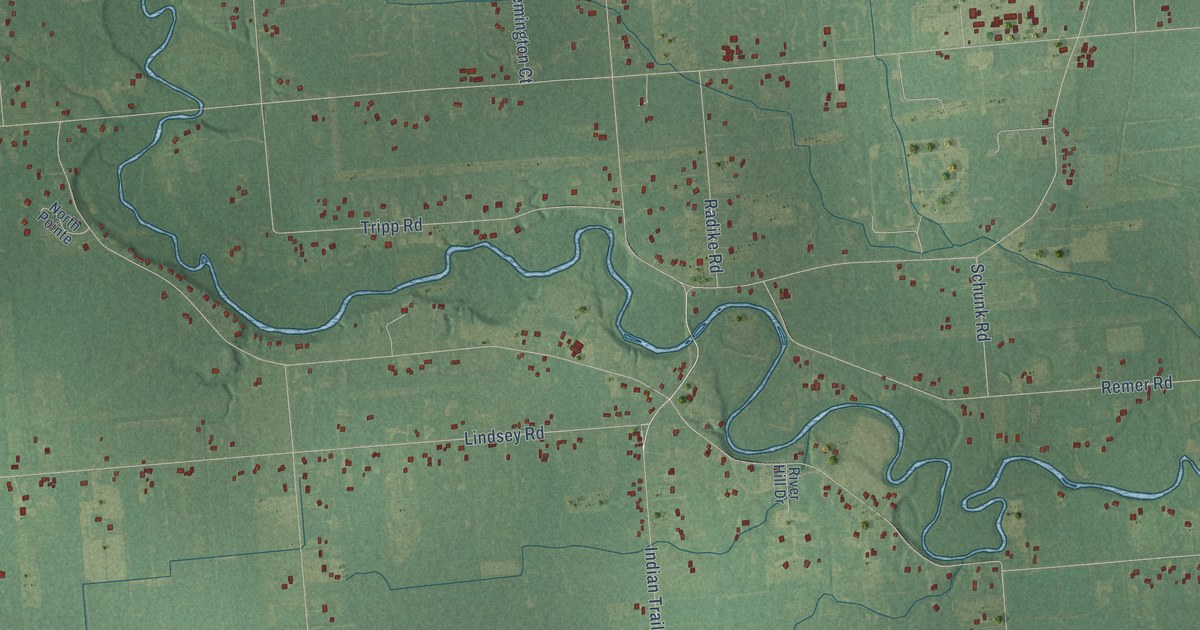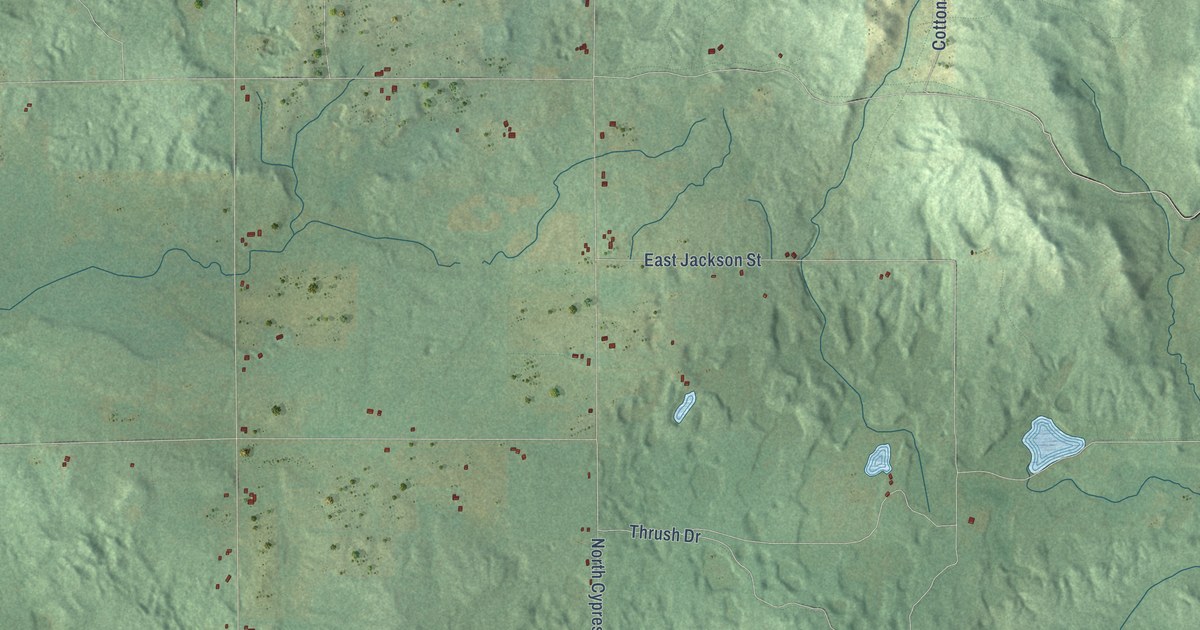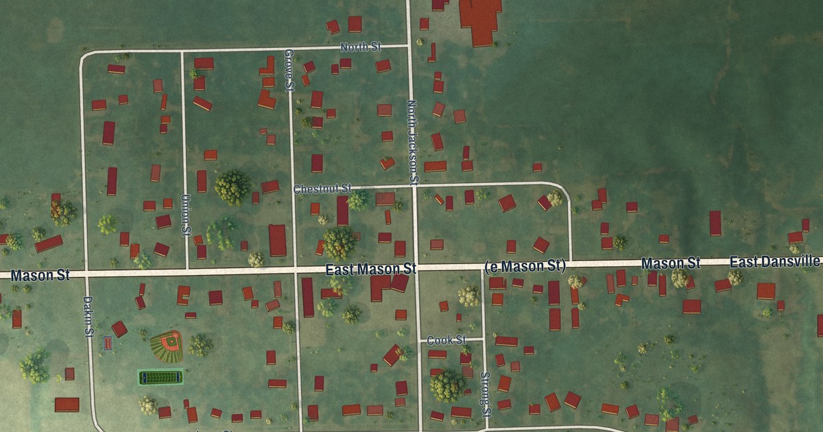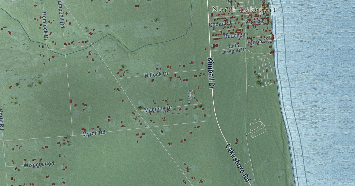
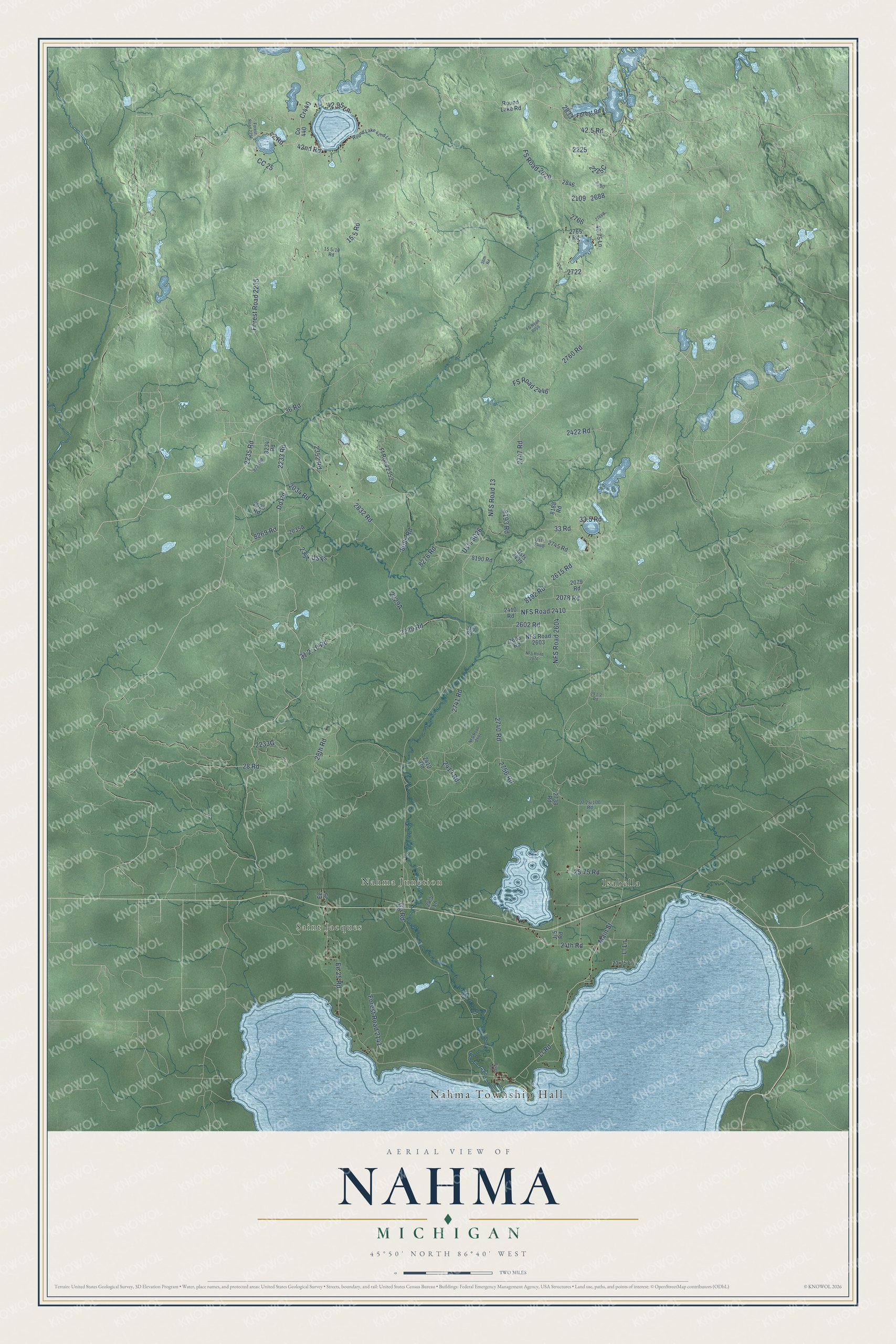
This beautifully detailed map of Nahma, Michigan was created in 2026 using aerial imagery combined with modern topographical, census, street and landmark data. It's a modern aerial view of Nahma in Delta County, Michigan, that combines modern data with a vintage aesthetic. The roads feature printed names, and if you look closely you can find your exact house accurately shown in its correct location.
Explore an aerial view of Nahma, Michigan
On this map you'll find Nahma Township Hall, Saint Jacques, Nahma Junction, Isabella, Dd Road, Forest Road 2235, 42 Road, Cr440, 8269 Road, 33 Road, 2233 Road, Gg Road, and more. Each red shape is a building, so zoom in on the preview and look for yours.
Here is a piece of Nahma history, in the words of the record. The History of the Northern Peninsula of Michigan puts it this way: "Nahma is quite a settlement which has gathered around and near the plant of the Bay de Noquet Lumber Company, its location being on the northwest shore of the Big Bay."
The Census Bureau counted 468 people here in 2020.
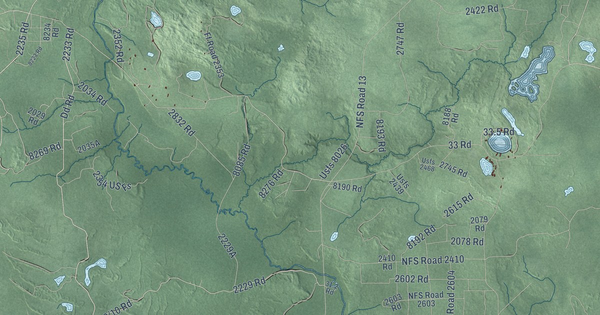
Take a closer look at the Nahma map
Names on this map
These names are printed on this map.
Places: Nahma Township Hall, Saint Jacques, Nahma Junction and Isabella.
Streets and roads: Dd Road, Forest Road 2235, 42 Road, Cr440, 8269 Road, 33 Road, 2233 Road, Gg Road, Main Street, NFS Road 2410, Ll Road, NFS Road 13.
More street names, A to Z
15.5 Road, 23.75 Lane, 24.5 Lane, 24th Road, 25.75 Road, 28 Road, 28th Road, 31.2 Road, 33.5 Road, 36 Road, 36th Road, 40.75 Lane, 42.5 Road, 42.95 Lane, 42nd Road, 2029 Road, 2034 Road, 2078 Road, 2079 Road, 2229 Road, 2235 Road, 2352 Road, 2354 US Fs, 2410 Road, 2412 Road, 2413 Road, 2422 Road, 2602 Road, 2603 Road, 2615 Road, 2738 Road, 2740 Road, 2741 Road, 2745 Road, 2747 Road, 2756 Road, 2760 Road, 2765 Road, 2832 Road, 8085 Road, 8188 Road, 8190 Road, 8192 Road, 8193 Road, 8223 Road, 8234 Road, 8276 Road, CC 25, Ee 25, Ee 25 Road, Ff Road 2353, Forest Road, Forest Road 2141, Forest Road 2291, FS Road 2020, FS Road 2446, FS Road 8059, Jj 5, Jj 5 Road, Ll Lane, NFS Road 2076, NFS Road 2601, NFS Road 2603, NFS Road 2604, River Road, Round Lake 42nd Lane, Round Lake Road, Usfs 2439, Usfs 2468, Usfs 8026.
Created by KNOWOL in 2026. The buildings are small red shapes, the roads carry their printed names, and shaded relief shows the shape of the land. The title panel reads "AERIAL VIEW OF NAHMA, MICHIGAN" with 45°50' NORTH 86°40' WEST.
It suits a den, a classroom or a front hall, and it makes a gift for anyone with Nahma roots. Open the preview and find the block you know. See sizes and frames for the Nahma map.