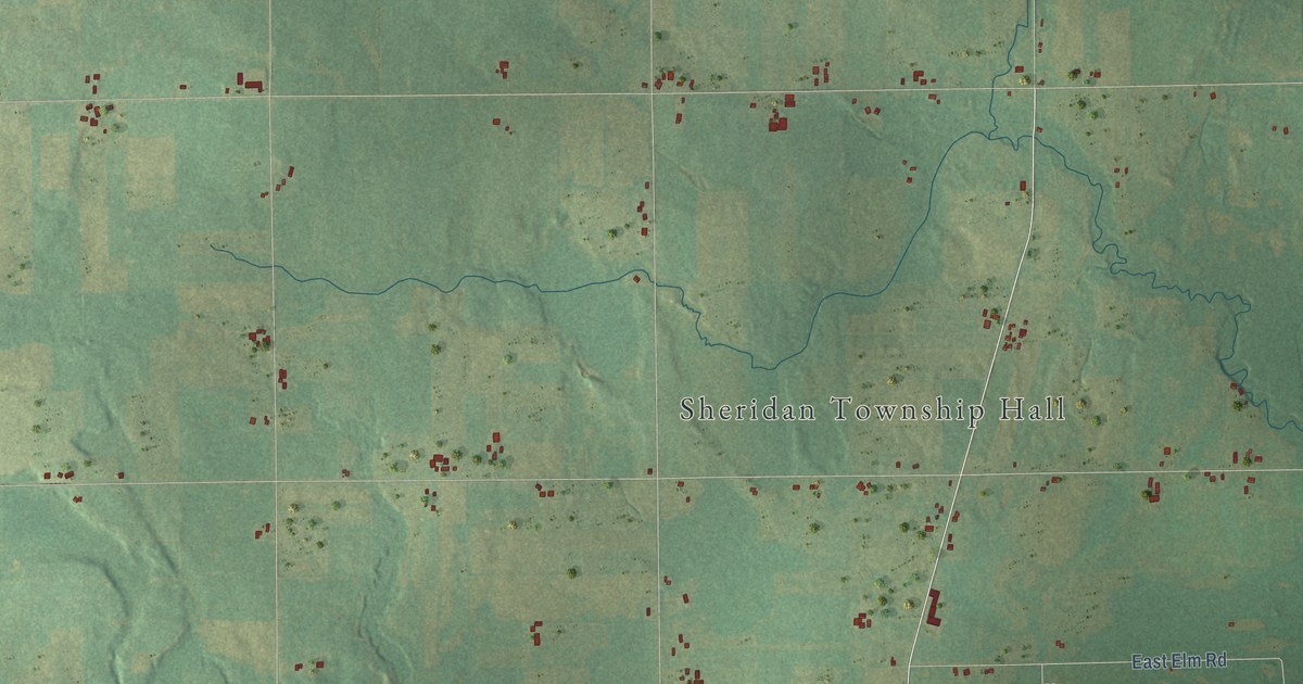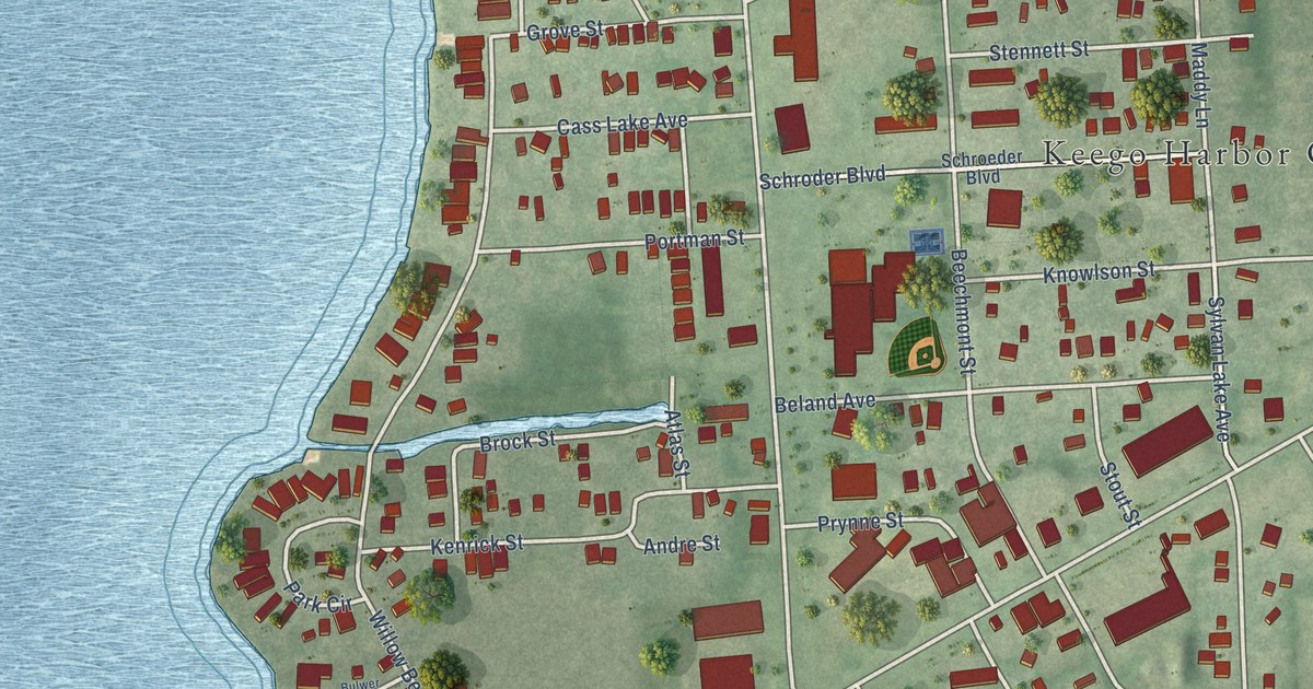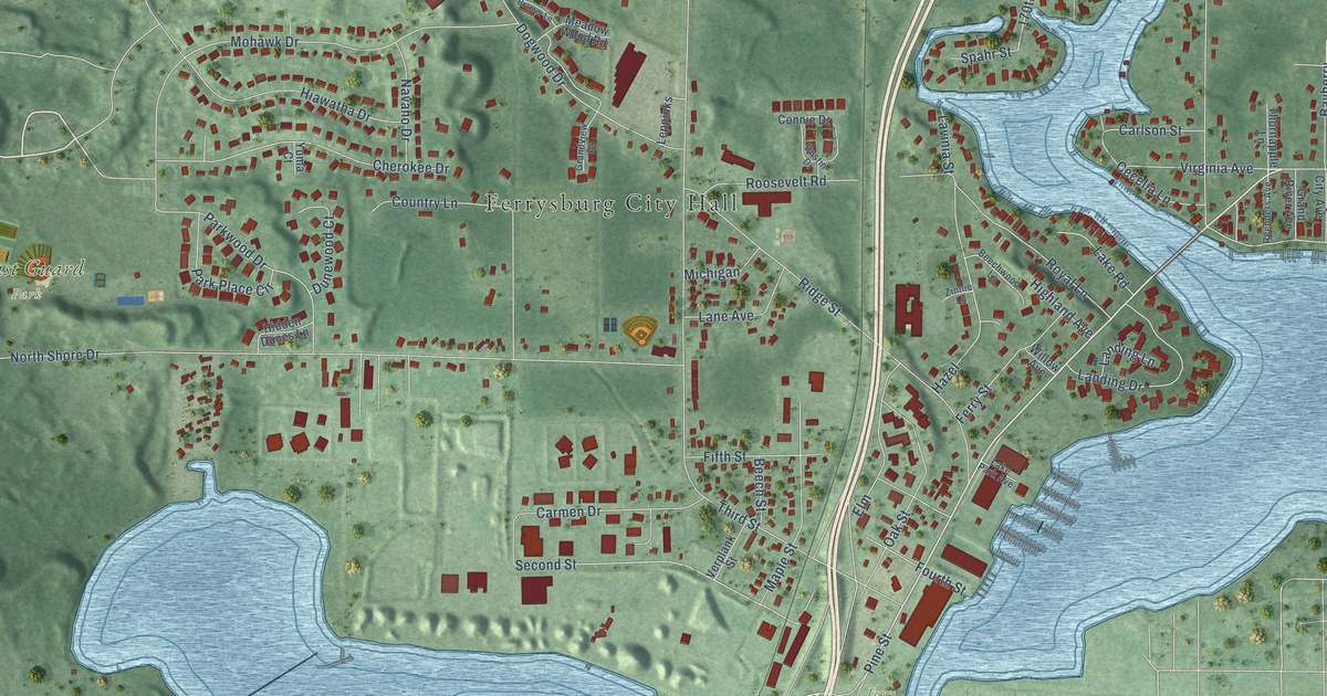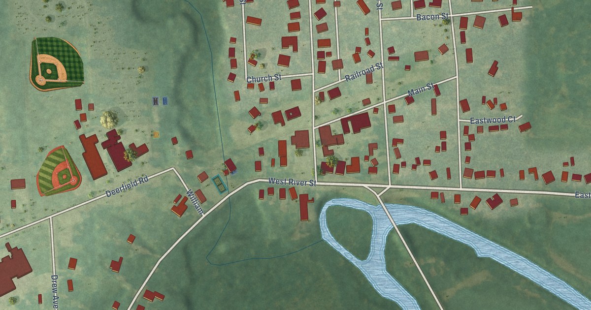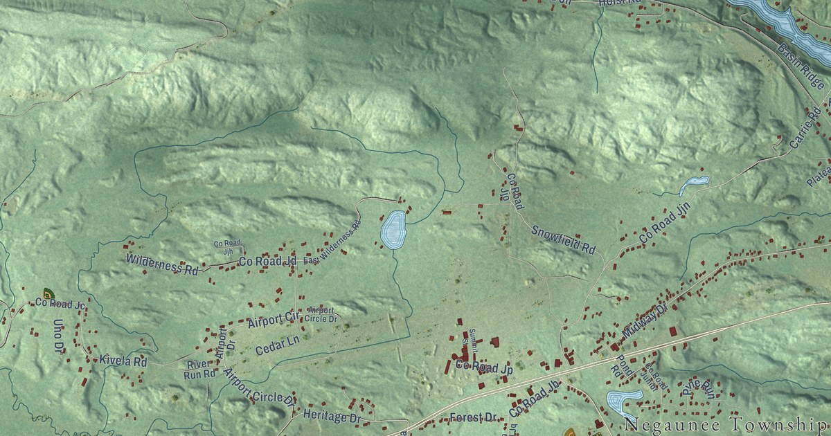
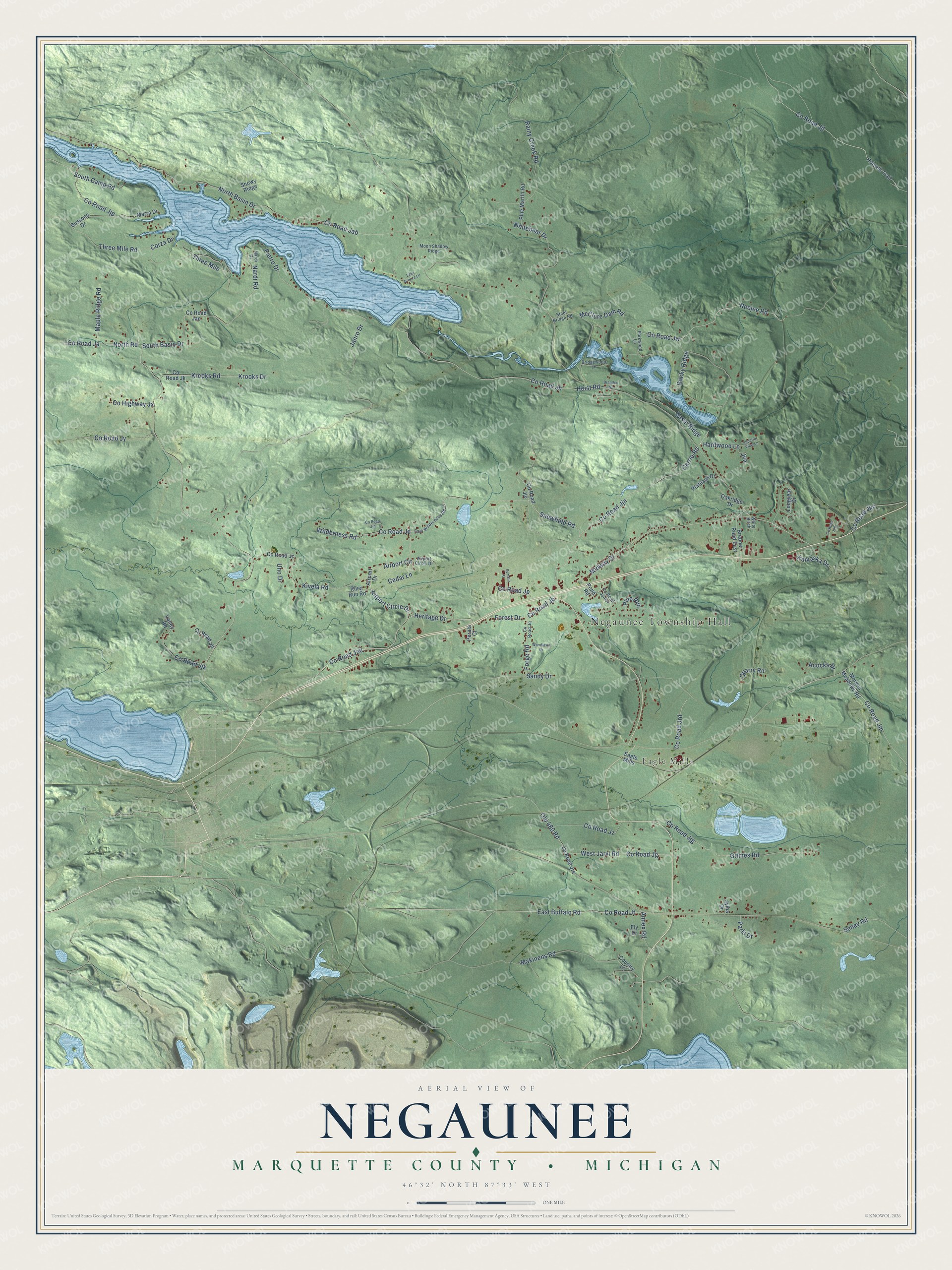
This beautifully detailed map of Negaunee, Michigan was created in 2026 using aerial imagery combined with modern topographical, census, street and landmark data. It's a modern aerial view of Negaunee in Marquette County, Michigan, that combines modern data with a vintage aesthetic. The roads feature printed names, and if you look closely you can find your exact house accurately shown in its correct location.
Explore an aerial view of Negaunee, Michigan
On this map you'll find Negaunee Township Hall, Eagle Mills, Co Road Jad, Heritage Drive, East Buffalo Road, Co Road Jb, Co Road Jf, Airport Circle, Airport Circle Drive, Co Road Jjt, Carrie Road, Co Road Ja, and more. Each red shape is a building, so zoom in on the preview and look for yours.
Here is a piece of Negaunee history, in the words of the record. The U.S. Geological Survey puts it this way: "Incorporated as a village in 1865 and as a city in 1873."
The Census Bureau counted 3,232 people here in 2020.
Take a closer look at the Negaunee map
Names on this map
These names are printed on this map.
Places: Negaunee Township Hall and Eagle Mills.
Streets and roads: County Road Jad, Heritage Drive, East Buffalo Road, County Road Jb, County Road Jf, Airport Circle, Airport Circle Drive, County Road Jjt, Carrie Road, County Road Ja, North Road, County Road Jw.
More street names, A to Z
Acocks Drive, Airport Drive, Annex Road, Basin Ridge, Brandon Drive, Brebner Road East, Bridgewood Lane, Bussone Drive, Cedar Lane, Corza Drive, Country Lane, County Highway Jx, County Road Jab, County Road Jac, County Road Jc, County Road Jd, County Road Jg, County Road Jh, County Road Jjg, County Road Jjh, County Road Jjk, County Road Jjl, County Road Jjn, County Road Jjo, County Road Jjp, County Road Jk, County Road Jm, County Road Jp, County Road Jpc, County Road Jpd, County Road Jq, County Road Jrd, County Road Jre, County Road Junior, County Road Jy, County Road Jz, East Wilderness Road, Ely Drive, Forest Drive, Forge Road, Grimes Road, Hardwood Lane, Hoist Road, Holyolk Trail, Janro Drive, Jva, Jylha Drive, Kalkaska Drive, Kivela Road, Krooks Drive, Krooks Road, Lake Breeze Lane, Longyear Drive, Makinens Road, Maple Ridge Road, Marra Drive, McClure Dam Road, Midway Drive, Moon Shadow Ridge, Morgan Meadows Road, Nardi Drive, Nardi Road, Neejee Road, North Basin Drive, Oakridge Drive, Old 480 Road, Paris Drive, Parkwood Lane, Perala Court, Pietro Drive, Pine Martin Road, Pine Run, Plateaux Drive, Pond Road, Quarry Road, Rainy Creek Road, River Run Road, Rocky Ridge, Sandy Drive, Seney Road, Snowfield Road, Snowy Ridge, South Basin Drive, South Camp Road, Steel Bridge Road, Summit Street, Superior View Lane, Three Mile, Three Mile Road, Uno Drive, Valley Road, West Jarvi Road, Whitebear Drive, White Birch, Wilderness Road, Woodlawn Drive.
Created by KNOWOL in 2026. The buildings are small red shapes, the roads carry their printed names, and shaded relief shows the shape of the land. The title panel reads "AERIAL VIEW OF NEGAUNEE, MARQUETTE COUNTY • MICHIGAN" with 46°32' NORTH 87°33' WEST.
It suits a den, a classroom or a front hall, and it makes a gift for anyone with Negaunee roots. Open the preview and find the block you know. See sizes and frames for the Negaunee, Marquette County map.