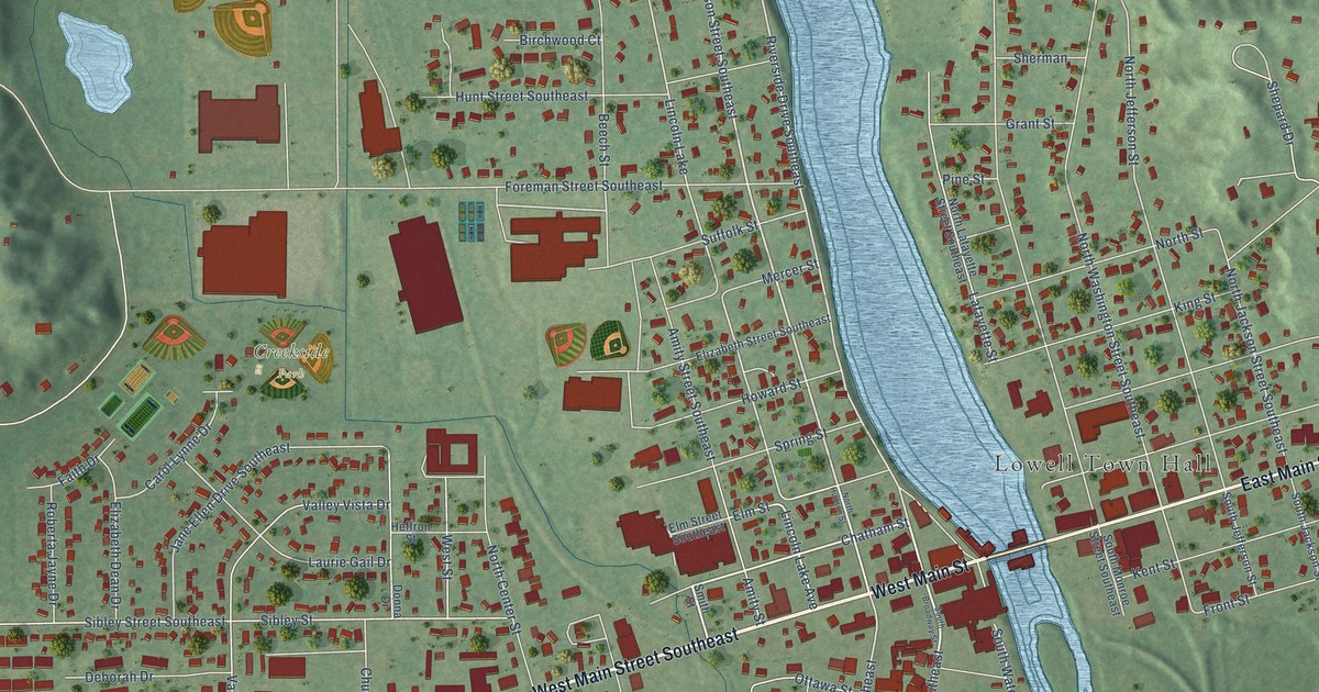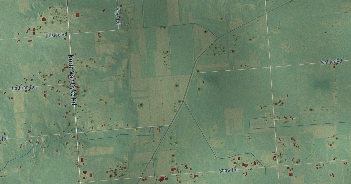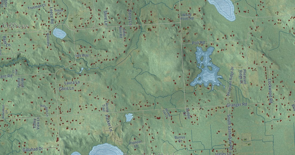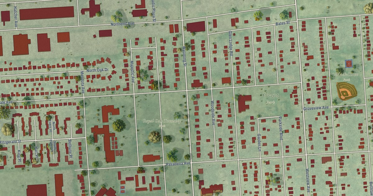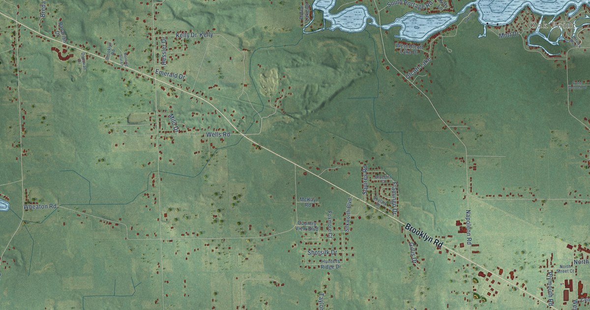
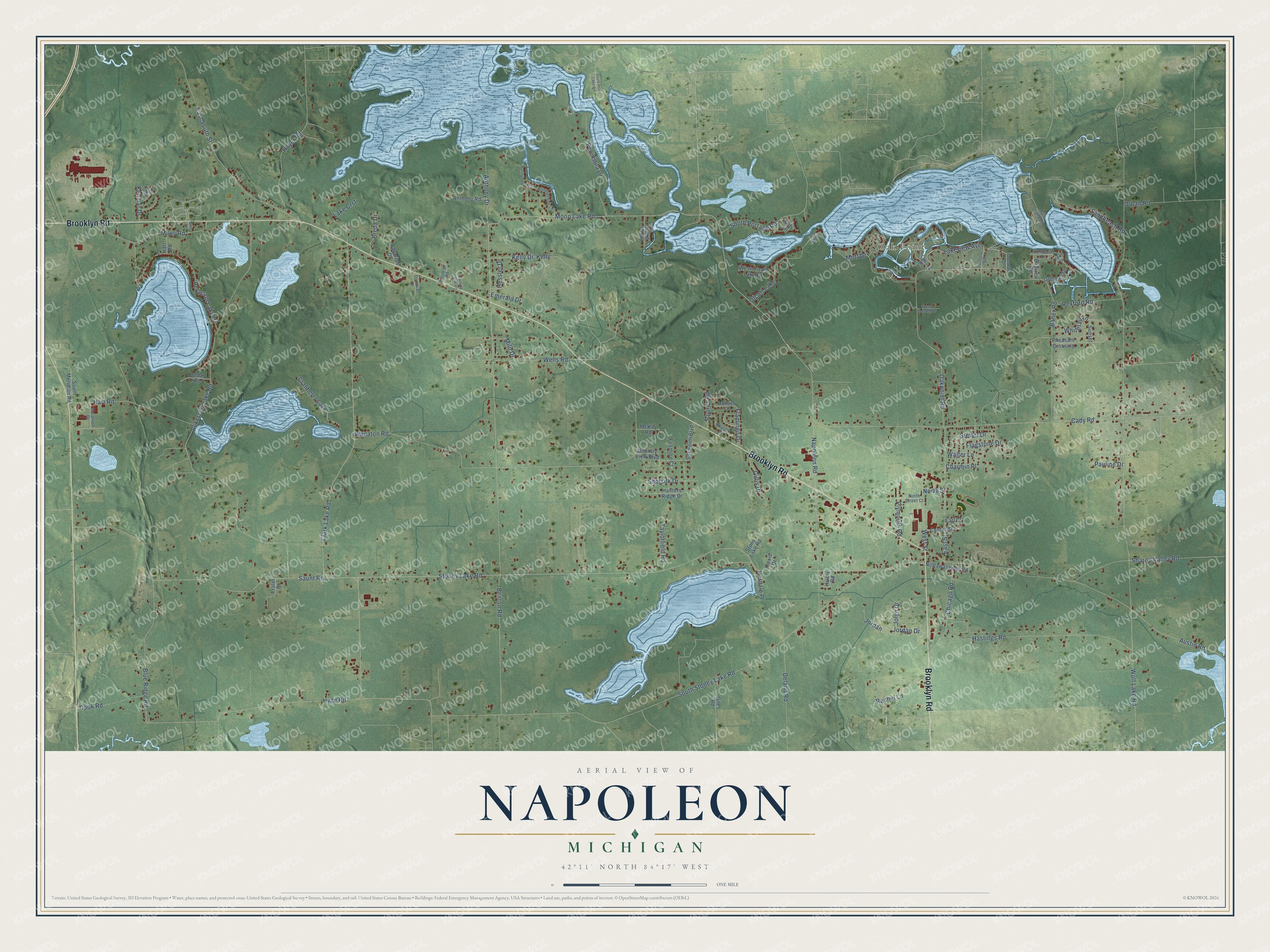
This beautifully detailed map of Napoleon, Michigan was created in 2026 using aerial imagery combined with modern topographical, census, street and landmark data. It's a modern aerial view of Napoleon in Jackson County, Michigan, that combines modern data with a vintage aesthetic. The roads feature printed names, and if you look closely you can find your exact house accurately shown in its correct location.
Explore an aerial view of Napoleon, Michigan
On this map you'll find Oak Point, Brooklyn Road, Moon Lake Road, Clark Lake Road, Napoleon Road, Ackerson Lake Road, Benton Road, Stoney Lake Road, Cady Road, Hoyer Road, Ackerson Lake Drive, Jordan Drive, and more. Each red shape is a building, so zoom in on the preview and look for yours.
Napoleon has a story worth telling. The History of Jackson County puts it this way: "The first district school was built in 1835, on section 6, 4 S., 2 E. The first church was built at Napoleon for the Methodist society."
The Census Bureau counted 6,789 people here in 2020.
Take a closer look at the Napoleon map
Names on this map
These names are printed on this map.
Places: Oak Point, Olcott Lake and Cranberry Lake.
Streets and roads: Brooklyn Road, Moon Lake Road, Clark Lake Road, Napoleon Road, Ackerson Lake Road, Benton Road, Stoney Lake Road, Cady Road, Hoyer Road, Ackerson Lake Drive, Jordan Drive, Wolf Lake Road.
More street names, A to Z
Alexis Drive, Anthony Drive, Anthony Road, Austin Road, Baner Road, Bavarian Drive, Bayview Road, Bluebird Court, Blue Ridge Road, Bonnymede Court, Bonnymede Lane, Breda Drive, Cedar Road, Center Street, Charmin Place, Chicago Road, Cook Road, Country View Boulevard, Cylde Gorsuch Drive, Deland Road, Dollar Lake Drive, Donovan Drive, Earl Court, East South Street, East Street, Elkton Drive, Emerald Drive, Fairmont Drive, Flagstone Drive, Flamingo Drive, Forestdale Street, Foxmore Court, Giles Road, Gillis Drive, Greenes Drive, Hart Road, Hastings Road, Hatt Road, Herdale Place, Hessler Drive, Hively Road, Hunters Ridge Drive, Hyde Road, Jolyn Drive, Jordan, Keith Drive, Kelly, Kelly Drive, Kenmar Drive, Kenward Drive, Kitty Lane, Lake Crst, Lakeview Avenue, Lakeview Boulevard, Mack Island Road, Marathon Drive, McKay Road, Miles Drive, Miles Road, Milo Drive, Morning Star Lane, Mott Drive, North Street, North Street Court, Nottawasepee Road, Oakpoint Road, Olcott Lake Drive, Orban Road, Pauline Drive, Peninsula Drive, Pheasant Crossing, Plymouth Road, Prater Drive, Rachel Lane, Rexford Road, Sandbeach Road, Saunt Road, Sharon Valley Road, Shotsilk Drive, Silkworth Boulevard, Skylark Drive, South Meridian Road, South Portage Road, South Price Lake Drive, South Stoney Lake Road, Squires Road, Stetler Drive, Stony Lake Road, Sunset, Taylorfield Road, Walter Lane, Wells Road, West Olcott Lake Drive, West Street, Wheaton Road, Whitetail Lane.
Created by KNOWOL in 2026. The buildings are small red shapes, the roads carry their printed names, and shaded relief shows the shape of the land. The title panel reads "AERIAL VIEW OF NAPOLEON, MICHIGAN" with 42°11' NORTH 84°17' WEST.
It looks right in a kitchen, an office or a den, and it's a gift for anyone who grew up in Napoleon or moved away. Open the preview and find your street. See sizes and frames for the Napoleon map.