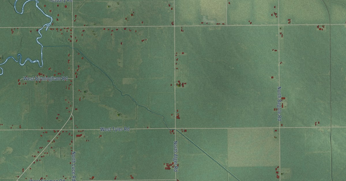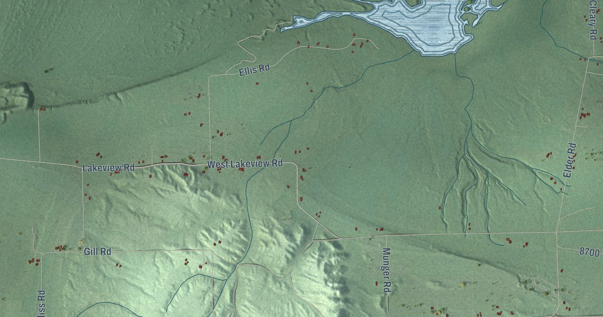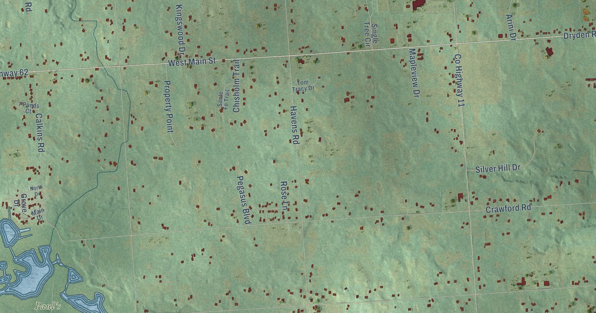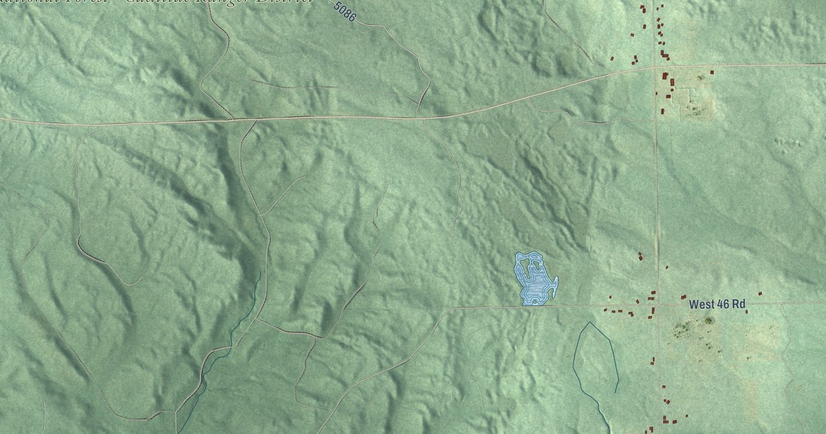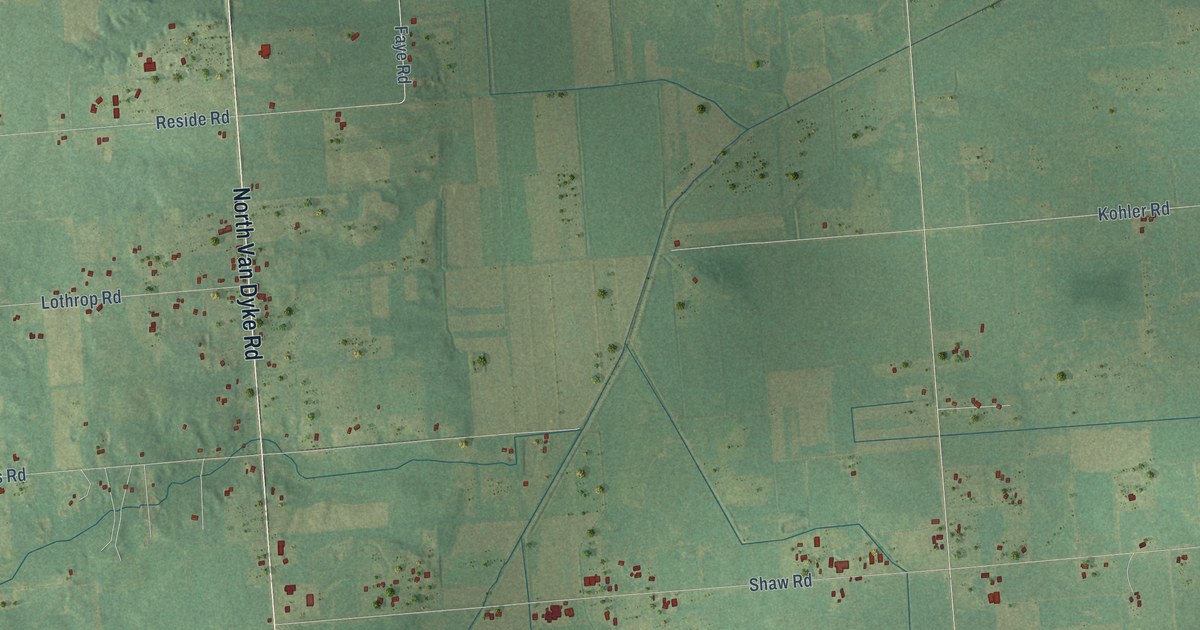
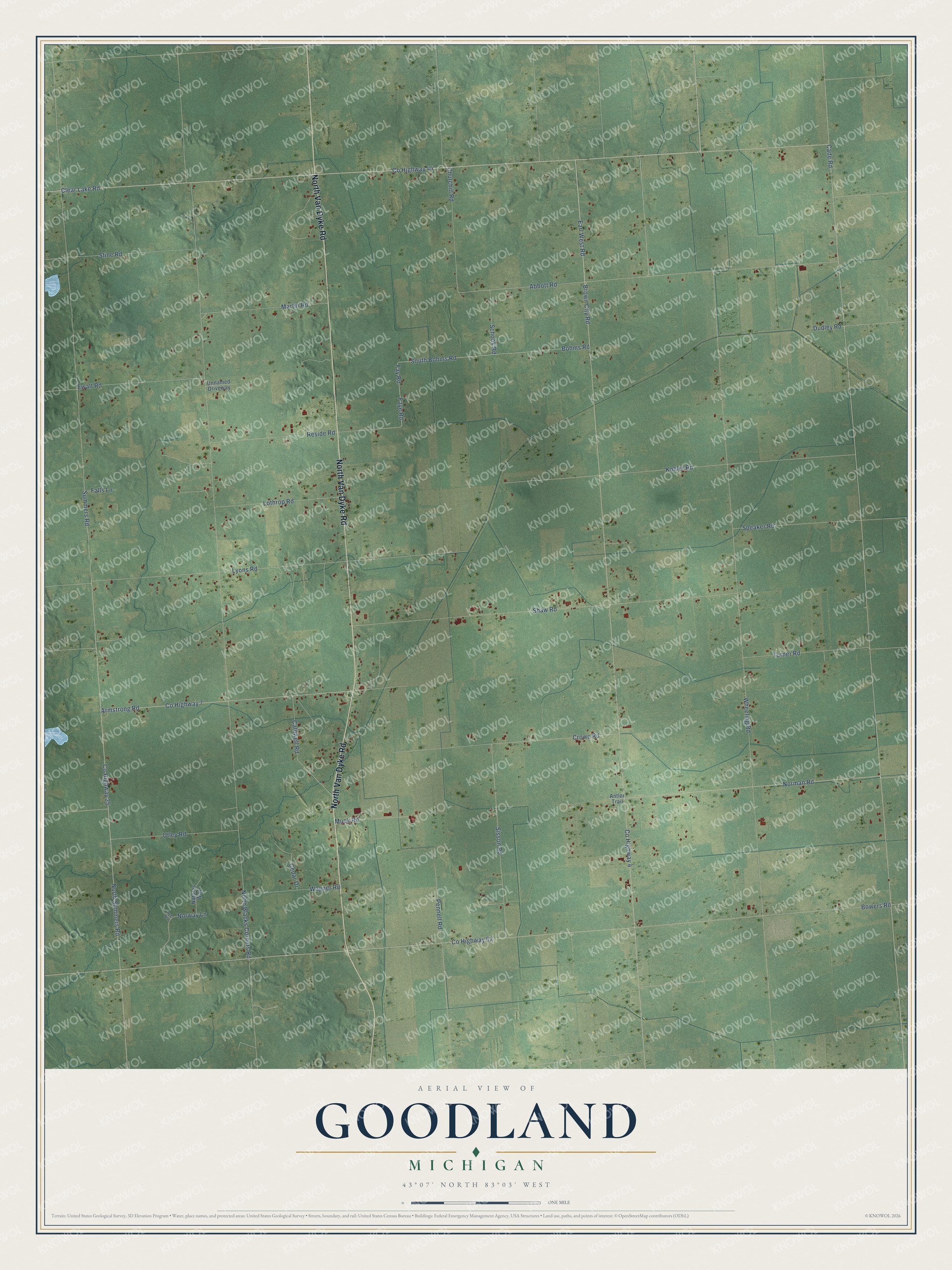
This beautifully detailed map of Goodland, Michigan was created in 2026 using aerial imagery combined with modern topographical, census, street and landmark data. It's a modern aerial view of Goodland in Lapeer County, Michigan, that combines modern data with a vintage aesthetic. The roads feature printed names, and if you look closely you can find your exact house accurately shown in its correct location.
Explore an aerial view of Goodland, Michigan
On this map you'll find North Van Dyke Road, Co Highway 4, Brown City Road, Earl West Road, Co Highway 44, Clear Lake Road, North Summers Road, Co Highway 25, Co Highway 52, Bowers Road, Norman Road, Fay Road, and more. Each red shape is a building, so zoom in on the preview and look for yours.
Here is a piece of Goodland history, in the words of the record. The History of Lapeer County puts it this way: "The annual report of the school inspectors of the town of Goodland, for the year 1882, shows the number of school children 474, number of school buildings six."
The Census Bureau counted 1,735 people here in 2020.
Take a closer look at the Goodland map
Names on this map
These names are printed on this map.
Streets and roads: North Van Dyke Road, County Highway 4, Brown City Road, Earl West Road, County Highway 44, Clear Lake Road, North Summers Road, County Highway 25, County Highway 52, Bowers Road, Norman Road, Fay Road.
More street names, A to Z
Abbott Road, Antler Trail, Armstrong Road, Bohms Road, Cade Road, Caldwell Road, Cedar Drive, Churchill Road, County Highway 7, Crowe Road, Deer Run, Dudley Road, Ewalt Road, Falls Lane, Faye Road, Kohler Road, Lothrop Road, Lyons Road, Martin Road, Muck Road, Natures Way, North Blacks Corners Road, Norway Lane, Pennell Road, Reside Road, Schook Road, Shaw Road, Sisson Road, South Bohms Road, Speaker Road, Stine Road, Summers Road, Turner Road, Unnamed Driveway, Utley Road, Wagner Road, Wheeling Road.
Created by KNOWOL in 2026. The buildings are small red shapes, the roads carry their printed names, and shaded relief shows the shape of the land. The title panel reads "AERIAL VIEW OF GOODLAND, MICHIGAN" with 43°07' NORTH 83°03' WEST.
It suits a den, a classroom or a front hall, and it makes a gift for anyone with Goodland roots. Open the preview and find the block you know. See sizes and frames for the Goodland map.