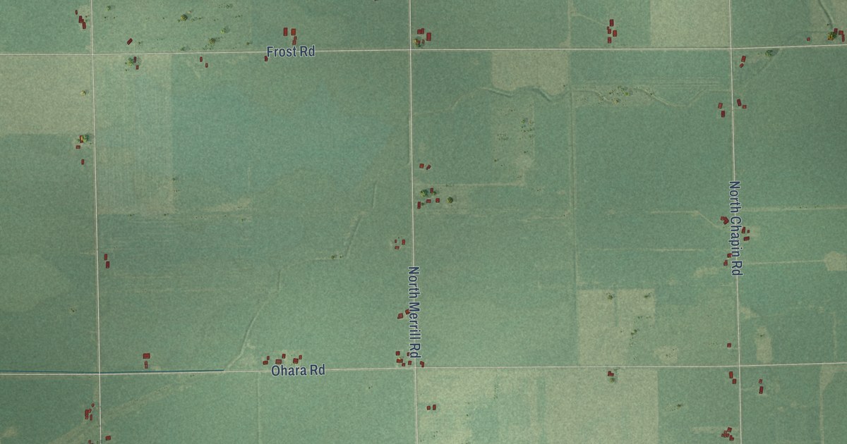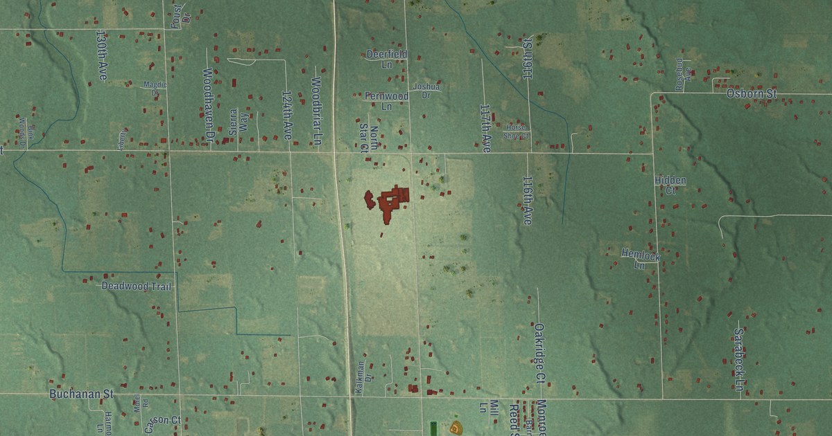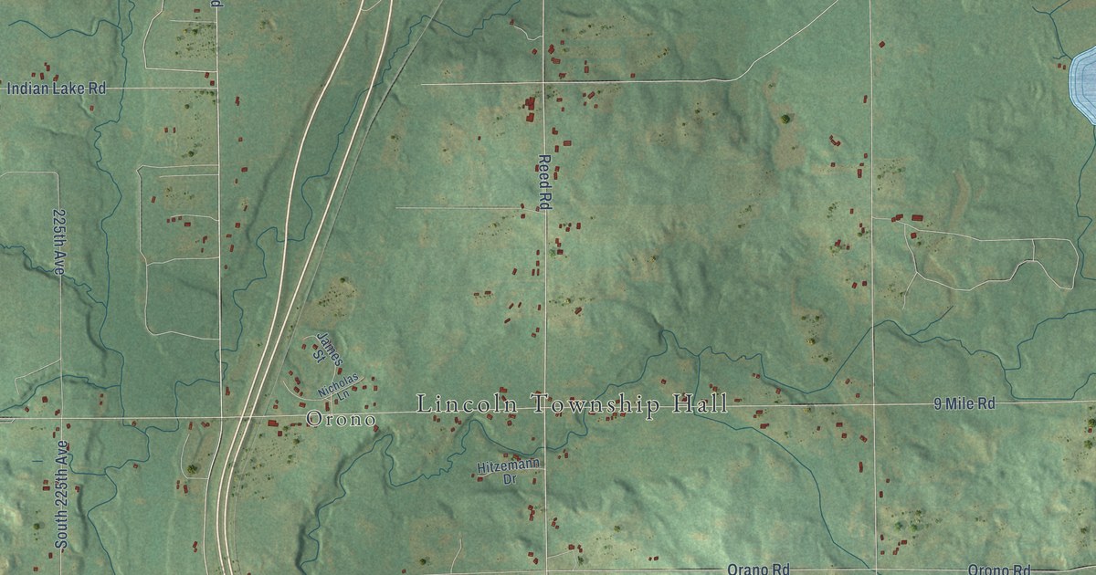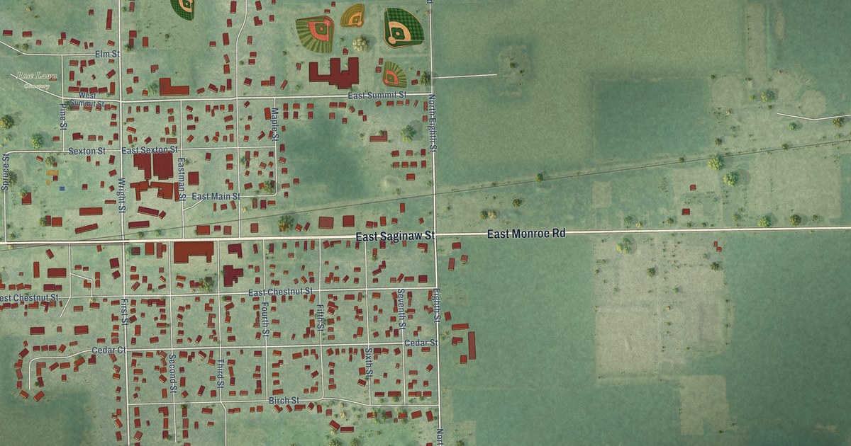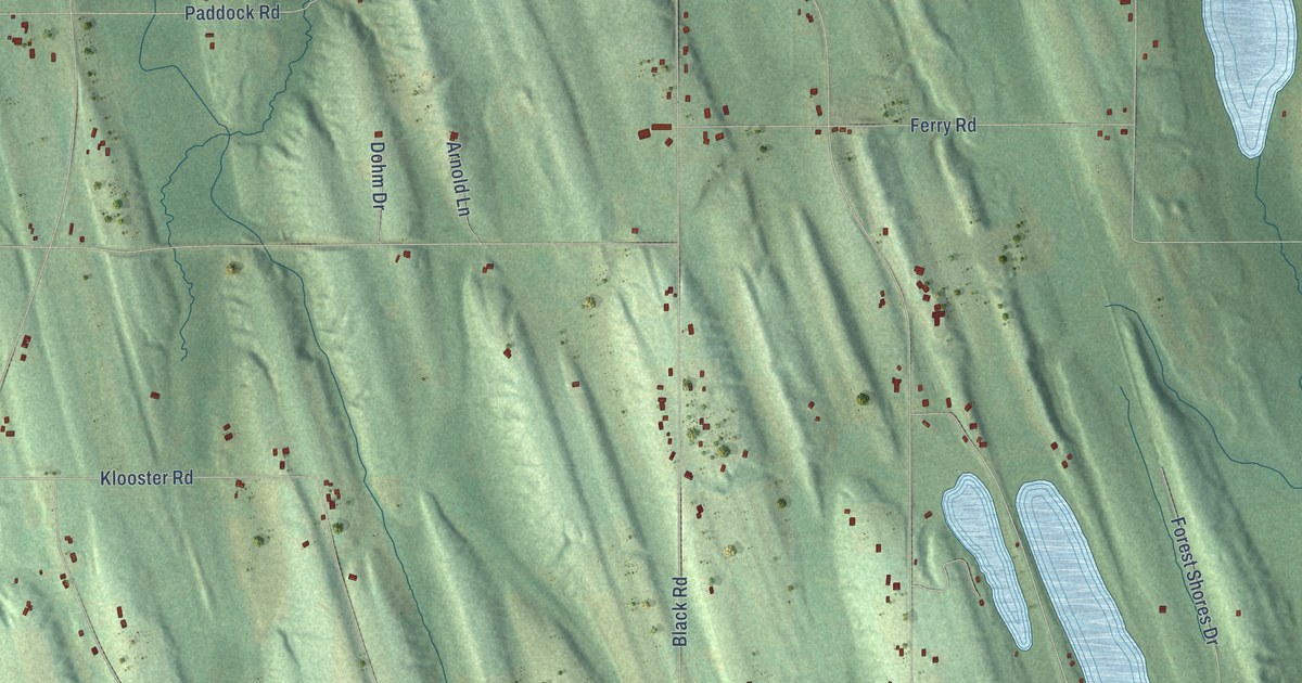
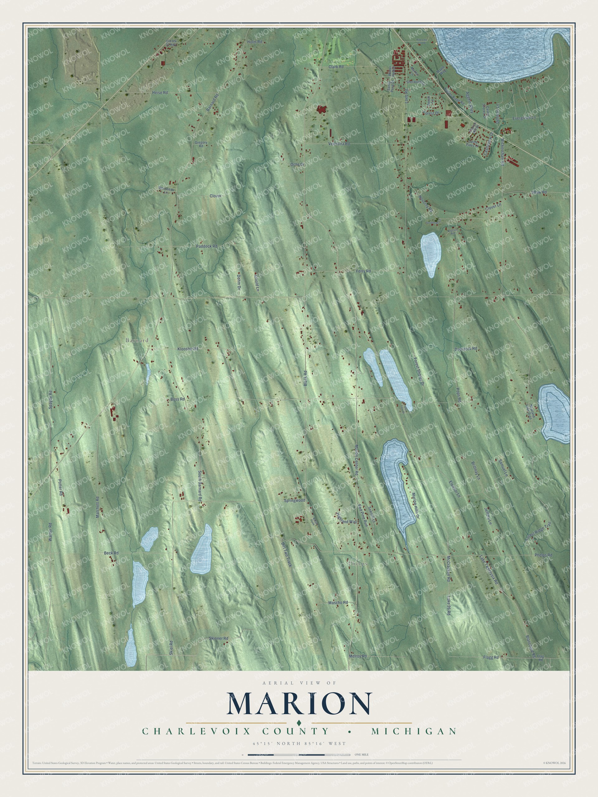
This beautifully detailed map of Marion, Michigan was created in 2026 using aerial imagery combined with modern topographical, census, street and landmark data. It's a modern aerial view of Marion in Charlevoix County, Michigan, that combines modern data with a vintage aesthetic. The roads feature printed names, and if you look closely you can find your exact house accurately shown in its correct location.
Explore an aerial view of Marion, Michigan
On this map you'll find Phelps, Barnard, Skinner Road, Marion Center Road, Barnard Road, Ferry Road, Phelps Road, Klooster Road, Black Road, Lake 26 Road, Warner Road, Wickersham Road, and more. Each red shape is a building, so zoom in on the preview and look for yours.
Marion has a story worth telling. The Traverse Region puts it this way: "The town of Marion was organized by act of legislature, approved March 20, 1867, and embraced the territory of Township 33 north, of Range 9 west, formerly a part of the township of Charlevoix. First town meeting was held at the house of William Harris."
The Census Bureau counted 1,657 people here in 2020.
Take a closer look at the Marion map
Names on this map
These names are printed on this map.
Places: Phelps and Barnard.
Streets and roads: Skinner Road, Marion Center Road, Barnard Road, Ferry Road, Phelps Road, Klooster Road, Black Road, Lake 26 Road, Warner Road, Wickersham Road, Loeb Road, Pops Road.
More street names, A to Z
Aggers Alley, Alyssia Avenue, Arnold Lane, Beck Road, Beech Lane, Blanchard Road, Boss Road, Brittnay Lane, Castle Pines Lane, Castle Shores Drive, Castleview Drive, Church Hill Drive, Clark Road, Clover, Clover Lane, Dehman Lane, Dirt Two Track, Dohm Drive, Dvoracek Road, Eleanor Lane, Evergreen Lane, Flagg Road, Flag Road, Forest Drive, Forest Ridge Trail, Forest Shores Drive, Glen Cove Drive, Gregory Road, Heise Road, Highland Way, Holm Road, Jeffery Lane, Lake Twentysix Road, Maple Way, Marion Hills Drive, Marme Lane, Mascho Road, Mason Creek, Matchett Road, McCracken Road, Melroy Road, Mousseau Lane, Novotny Road, Nowland Lake Trail, Ochs Drive, Old US 31 Highway, Paddock Road, Pine Lake Club Drive, Potter Road, Red Pine Run, Robins Ridge Road, Samuel Lane, Sandy Pond Drive, Savannah Lane, Sawmill Lane, Shaw Road, Sherwood Lane, Skiel Road, South Barnard Road, Spayde Road, Springwood, Veenstra Road, Winter Harbor.
Created by KNOWOL in 2026. The buildings are small red shapes, the roads carry their printed names, and shaded relief shows the shape of the land. The title panel reads "AERIAL VIEW OF MARION, CHARLEVOIX COUNTY • MICHIGAN" with 45°15' NORTH 85°16' WEST.
It looks right in a kitchen, an office or a den, and it's a gift for anyone who grew up in Marion or moved away. Open the preview and find your street. See sizes and frames for the Marion, Charlevoix County map.