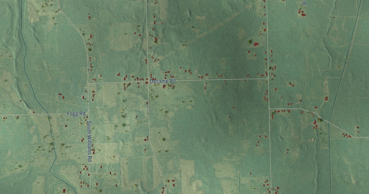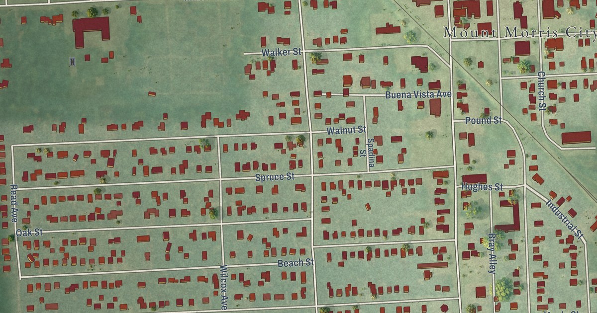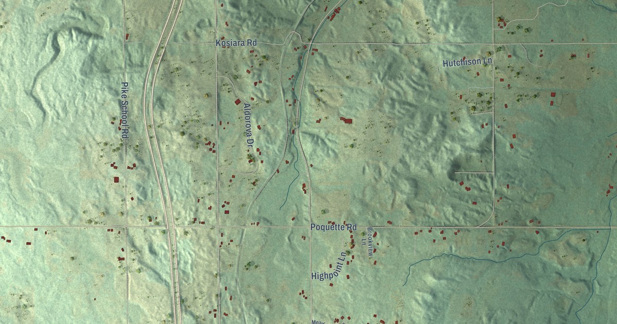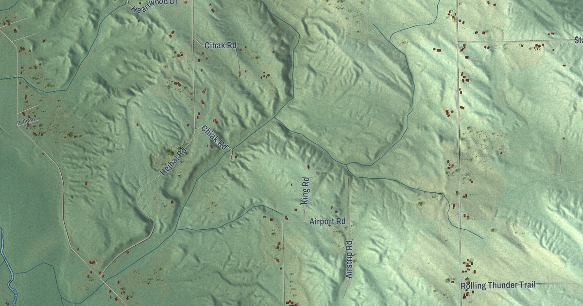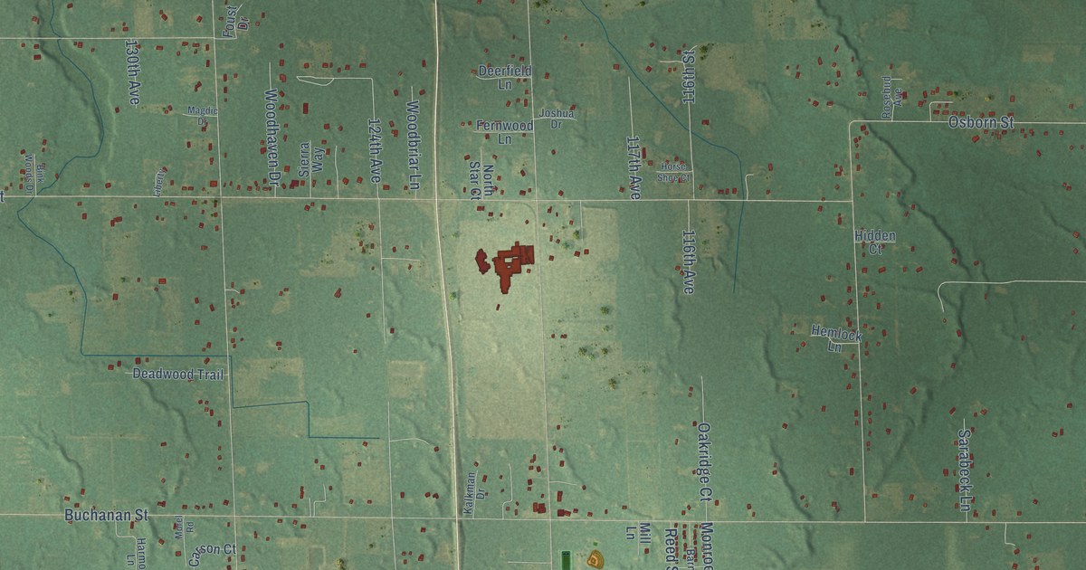
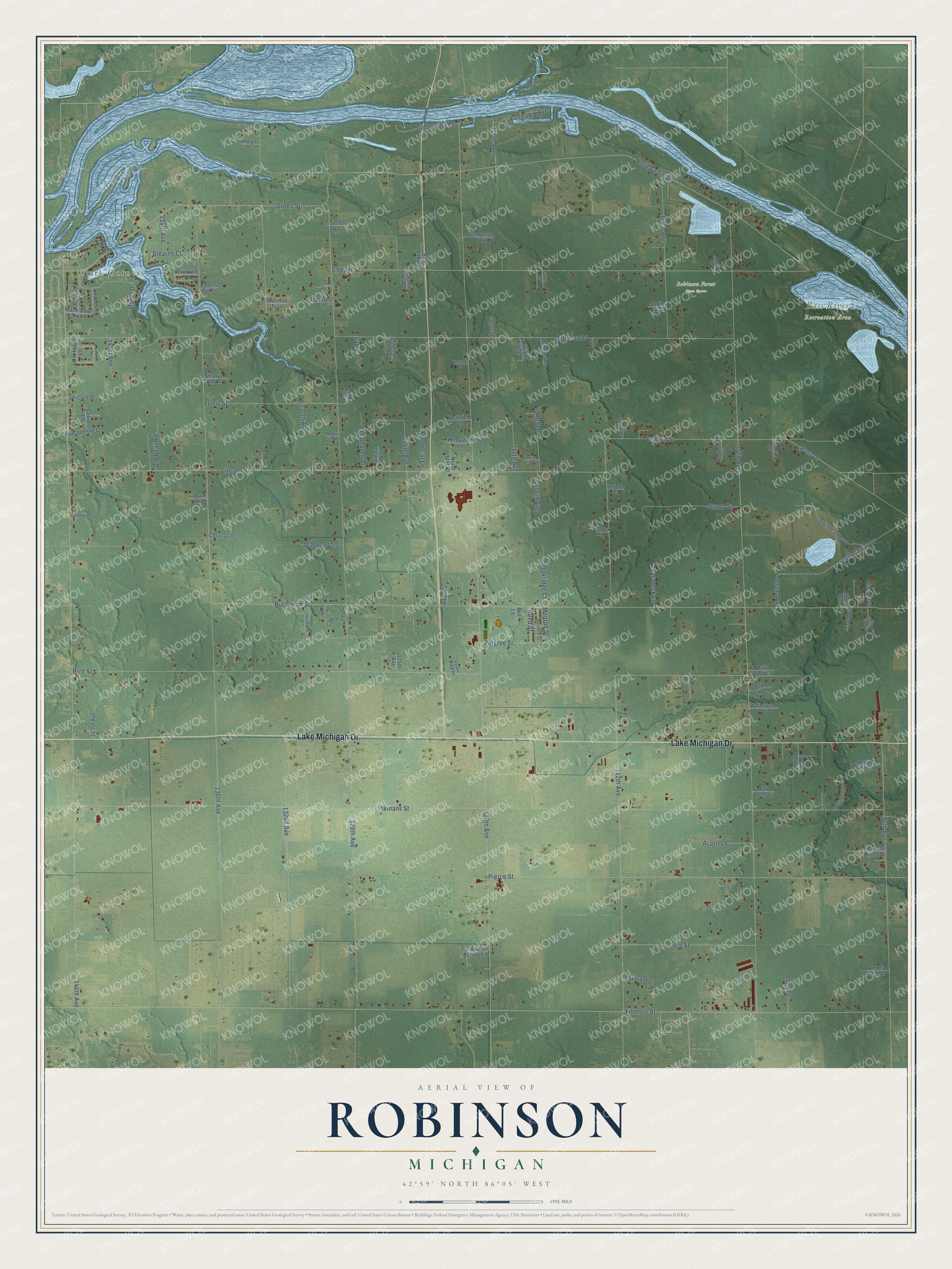
This beautifully detailed map of Robinson, Michigan was created in 2026 using aerial imagery combined with modern topographical, census, street and landmark data. It's a modern aerial view of Robinson in Ottawa County, Michigan, that combines modern data with a vintage aesthetic. The roads feature printed names, and if you look closely you can find your exact house accurately shown in its correct location.
Explore an aerial view of Robinson, Michigan
On this map you'll find Clark Corners, Bass River Recreation Area, Robinson Forest Open Space, Lake Michigan Drive, Monroe Street, 120th Avenue, 128th Avenue, Fillmore Street, 104th Avenue, 136th Avenue, 144th Avenue, Buchanan Street, and more. Each red shape is a building, so zoom in on the preview and look for yours.
Every town has a first chapter, and Robinson is no exception. The Compendium of Ottawa County puts it this way: "Robinson was established as an independent township January 8, 1856. The first meeting was held at the house of Ira Robinson, and John W. Barnard was elected supervisor; E. G. Robinson, clerk; W. Furgerson, treasurer; J. Hazard, W. H. Wood, A. Robinson and F. T. Ranney, justices."
The Census Bureau counted 6,382 people here in 2020.
Take a closer look at the Robinson map
Names on this map
These names are printed on this map.
Places: Clark Corners, Bass River Recreation Area and Robinson Forest Open Space.
Streets and roads: Lake Michigan Drive, Monroe Street, 120th Avenue, 128th Avenue, Fillmore Street, 104th Avenue, 136th Avenue, 144th Avenue, Buchanan Street, Winans Street, Rich Street, North Cedar Drive.
More street names, A to Z
96th Avenue, 98th Avenue, 102nd Avenue, 108th Avenue, 112th Avenue, 113th Avenue, 116th Avenue, 116th Street, 117th Avenue, 118th Avenue, 124th Avenue, 125th Avenue, 130th Avenue, 132nd Avenue, 138th Avenue, 141st Avenue, 143rd Avenue, Acorn Lane, Albright Avenue, Allen Drive, Amber Rose Drive, Annissa Lane, Ardis Avenue, Autumn Avenue, Barnard Street, Bass Drive, Bink Woods Drive, Blue Spruce Lane, Brennan Trail, Carrier Lane, Carson Court, Cheyenne Trail, Christa Lane, Dakota Drive, Deadwood Trail, Deerfield Lane, Derick Drive, Devonshire Lane, Drift Boat Lane, East Devis, Fallen Pine Drive, Farm Drive, Fernwood Lane, Ferris Street, Foust Drive, Fox Hollow Drive, Franklin Drive, Green Street, Harley Drive, Harmony Lane, Hemlock Lane, Hidden Court, Horse Shoe Court, Indigo Drive, Jacqueline Court, Jennifer, Johnson Street, Joshua Drive, Kalkman Drive, Killdeer Trail, Lauren Lane, Liberty, Lightning Tree Lane, Limberlost Lane, Lincoln Street, Lindbrook Lane, Luce Street, Mackinaw Trail, Magdic Drive, Mill Lane, Morel Road, North Star Court, Oakcrest Lane, Oakfield Lane, Oakridge Court, Old Bear Road, Old Oak Lane, Osborn Street, Osner Drive, Ott Lane, Panacea Way Pvt, Paul Lin Lane, Peaceful Pines Drive, Pierce Street, Pingree Street, Red Oak Drive, Reed Street, Rosebud Avenue, Sadies Trail, Sarabeck Lane, Schmidt Drive, Scottie Drive, Setter Way, Settlers Ridge, Shady Tree Lane, Sierra Way, Sleeper Street, South Cedar Drive, South Cedar Lane, Split Oak Drive, Stearns Court, Stump Street, Sugarbush Lane, Tall Trees Court, Tenbrink Avenue, Two Trax Trail, Unicorn Drive, Van Lopik Avenue, Whitetail Drive, Whitewood Drive, Wildflower Lane, Woodbriar Lane, Woodhaven Drive, Zoe Avenue.
Created by KNOWOL in 2026. The buildings are small red shapes, the roads carry their printed names, and shaded relief shows the shape of the land. The title panel reads "AERIAL VIEW OF ROBINSON, MICHIGAN" with 42°59' NORTH 86°05' WEST.
Hang it in the hallway, the office or the cabin, or give it to someone who left Robinson and still calls it home. Open the preview and look for a street you know. See sizes and frames for the Robinson map.