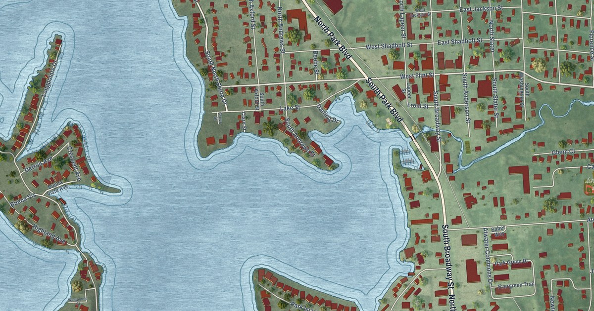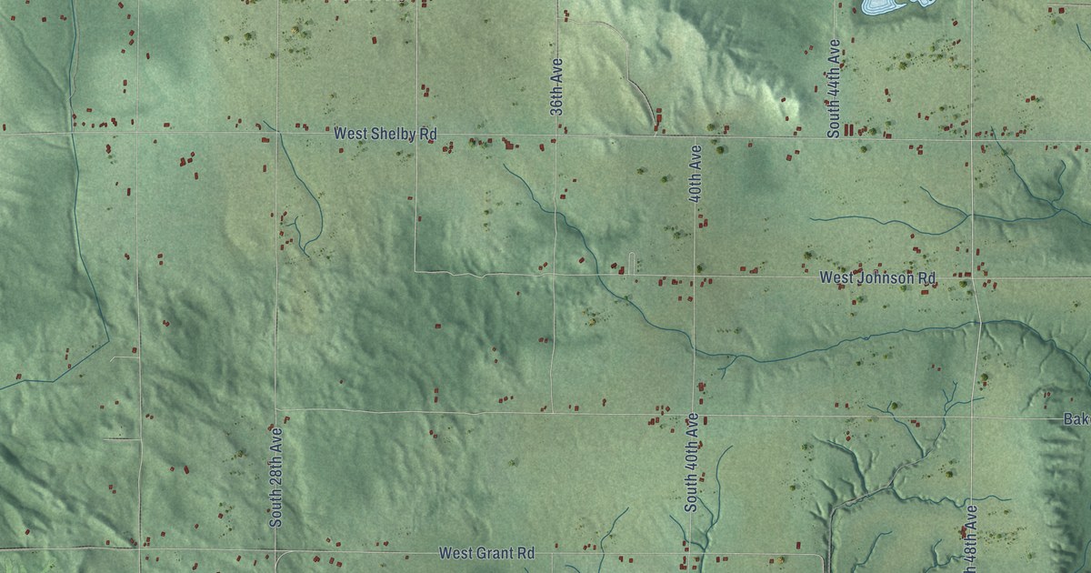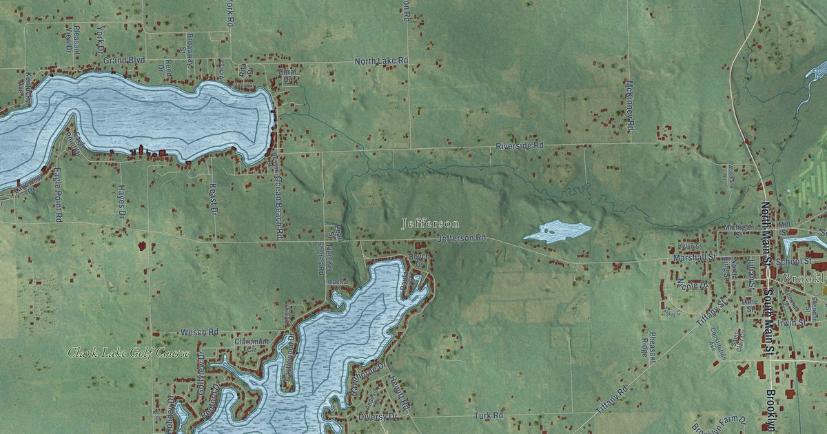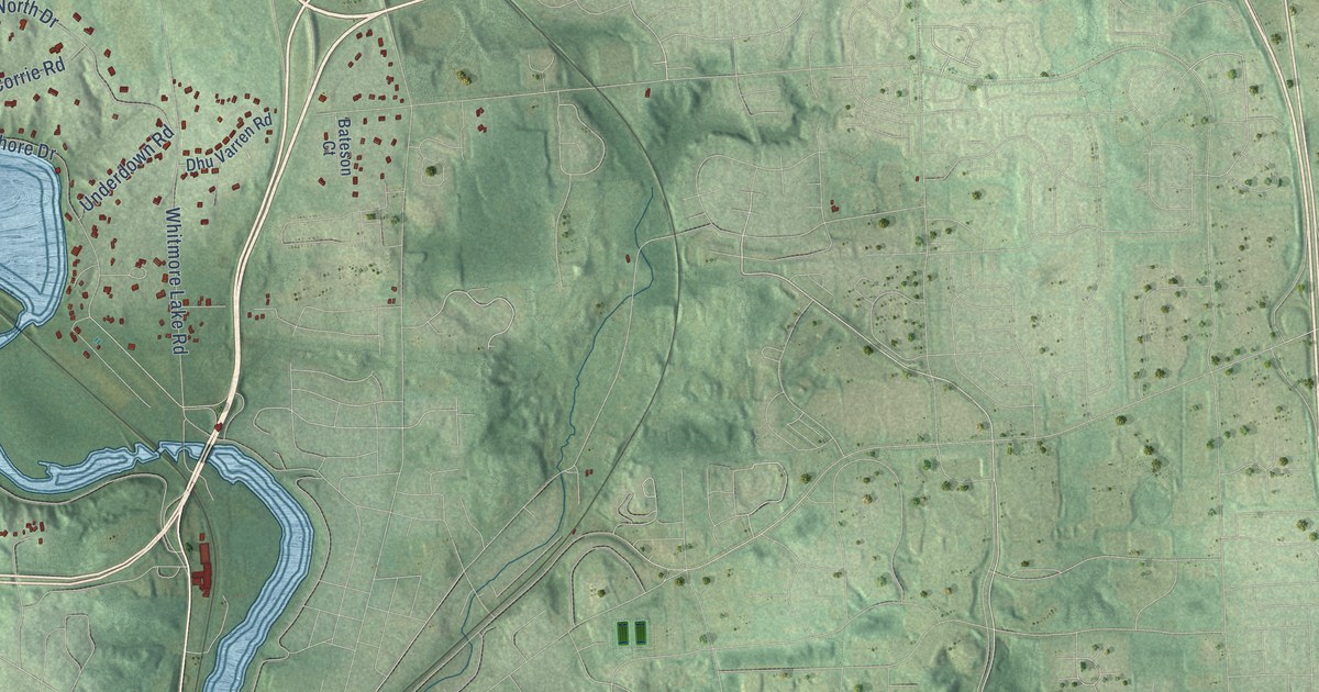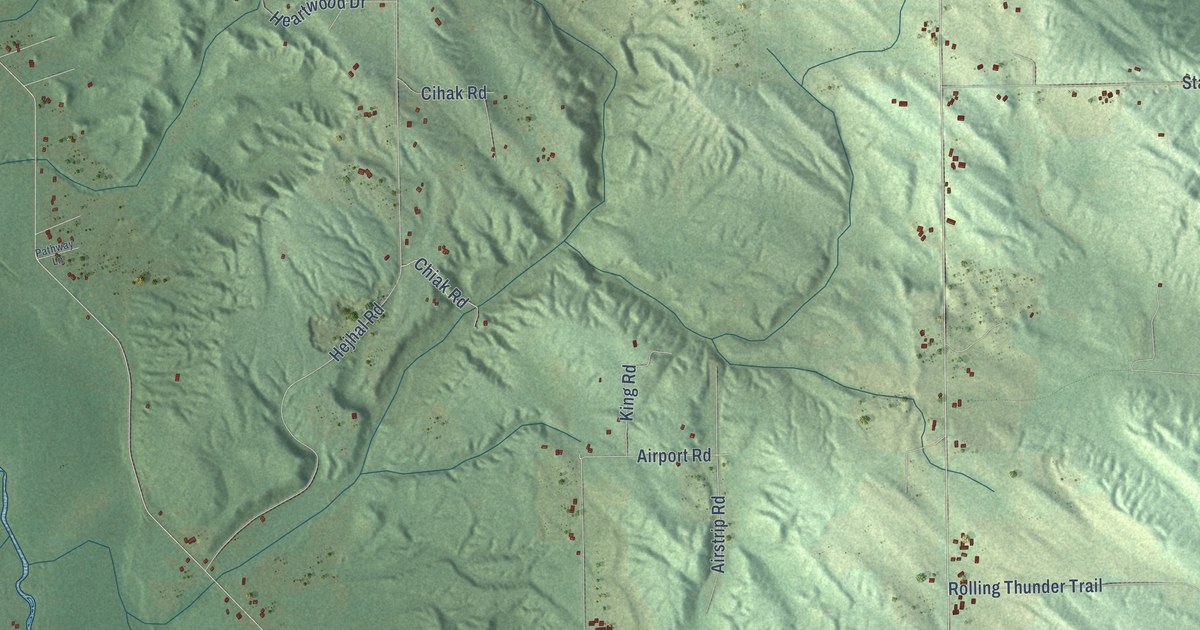
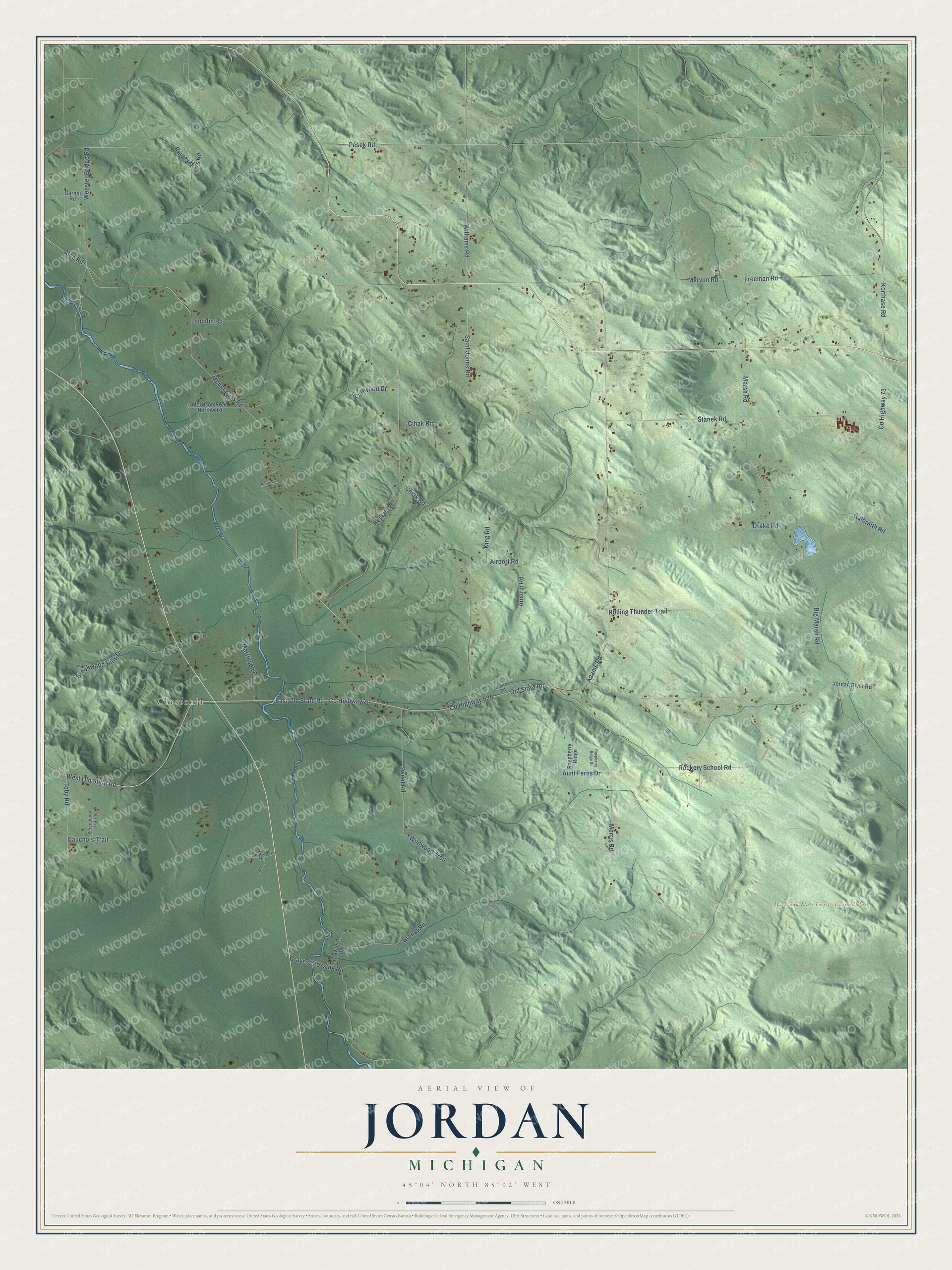
This beautifully detailed map of Jordan, Michigan was created in 2026 using aerial imagery combined with modern topographical, census, street and landmark data. It's a modern aerial view of Jordan in Antrim County, Michigan, that combines modern data with a vintage aesthetic. The roads feature printed names, and if you look closely you can find your exact house accurately shown in its correct location.
Explore an aerial view of Jordan, Michigan
On this map you'll find Chestonia, Mackinaw State Forest – Gaylord Unit, East Old State Road, West Old State Road, Morris Road, Co Highway 624, Co Highway 24, Old State Road, Mount Bliss Road, Alba Road, Pesek Road, Freeman Road, and more. Each red shape is a building, so zoom in on the preview and look for yours.
Here is a piece of Jordan history, in the words of the record. The Traverse Region puts it this way: "Jordan was organized by the board of supervisors at the January session in 1875, and embraced the territory of Township 31 north, of Range 6 west, which was detached from Central Lake."
The Census Bureau counted 887 people here in 2020.
Take a closer look at the Jordan map
Names on this map
These names are printed on this map.
Places: Chestonia and Mackinaw State Forest - Gaylord Unit.
Streets and roads: East Old State Road, West Old State Road, Morris Road, County Highway 624, County Highway 24, Old State Road, Mount Bliss Road, Alba Road, Pesek Road, Freeman Road, Adams Road, Marvon Road.
More street names, A to Z
Airport Road, Airstrip Road, Aunt Ferns Drive, Big Marsh Road, Brandt Road, Brookwood Hills Drive, Cauchois Trail, Chiak Road, Cihak Road, County Highway 73, Crawford Road, Drake Road, Galbraith Road, Garner Road, Graves Crossing Road, Heartwood Drive, Hejhal Road, Jordan River Road, King Road, Korthase Road, Landdin Road, Marsh Road, Martinson Drive, Morrison Road Northwest, Pathway Lane, Rainey Hills Road, Raspberry Ridge, Raspberry Ridge Drive, Rockery School Road, Rolling Thunder Trail, Sadlowski Road, Saint Johns Road, Serendipity Trail, Smith Road, Stanek Road, Sweet Road, Toby Road, Webster Bridge Road, Wildwood Trail, Williams Road.
Created by KNOWOL in 2026. The buildings are small red shapes, the roads carry their printed names, and shaded relief shows the shape of the land. The title panel reads "AERIAL VIEW OF JORDAN, MICHIGAN" with 45°04' NORTH 85°02' WEST.
It suits a den, a classroom or a front hall, and it makes a gift for anyone with Jordan roots. Open the preview and find the block you know. See sizes and frames for the Jordan map.