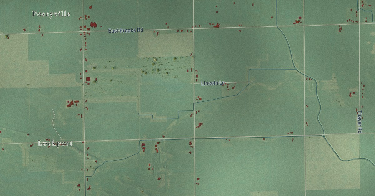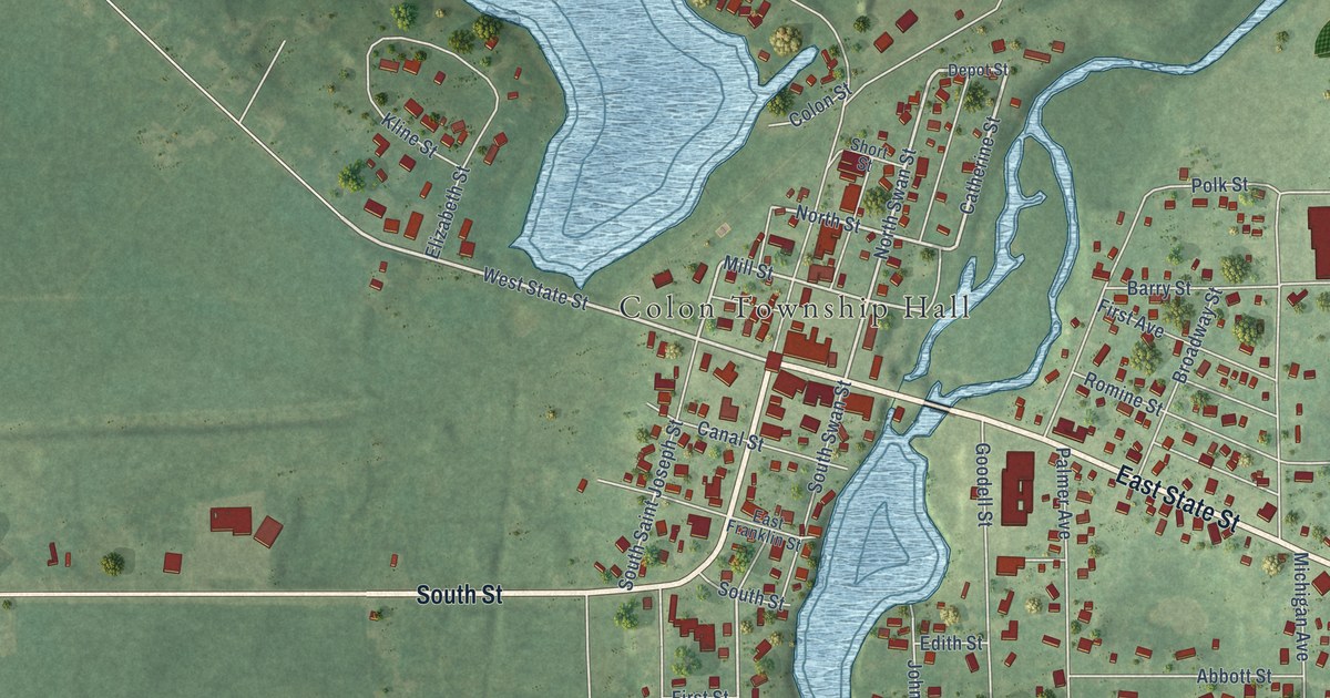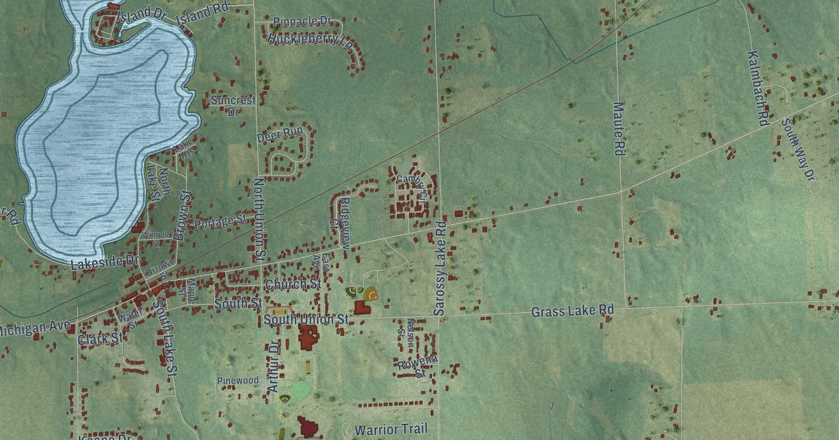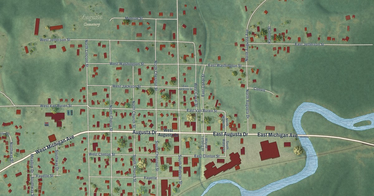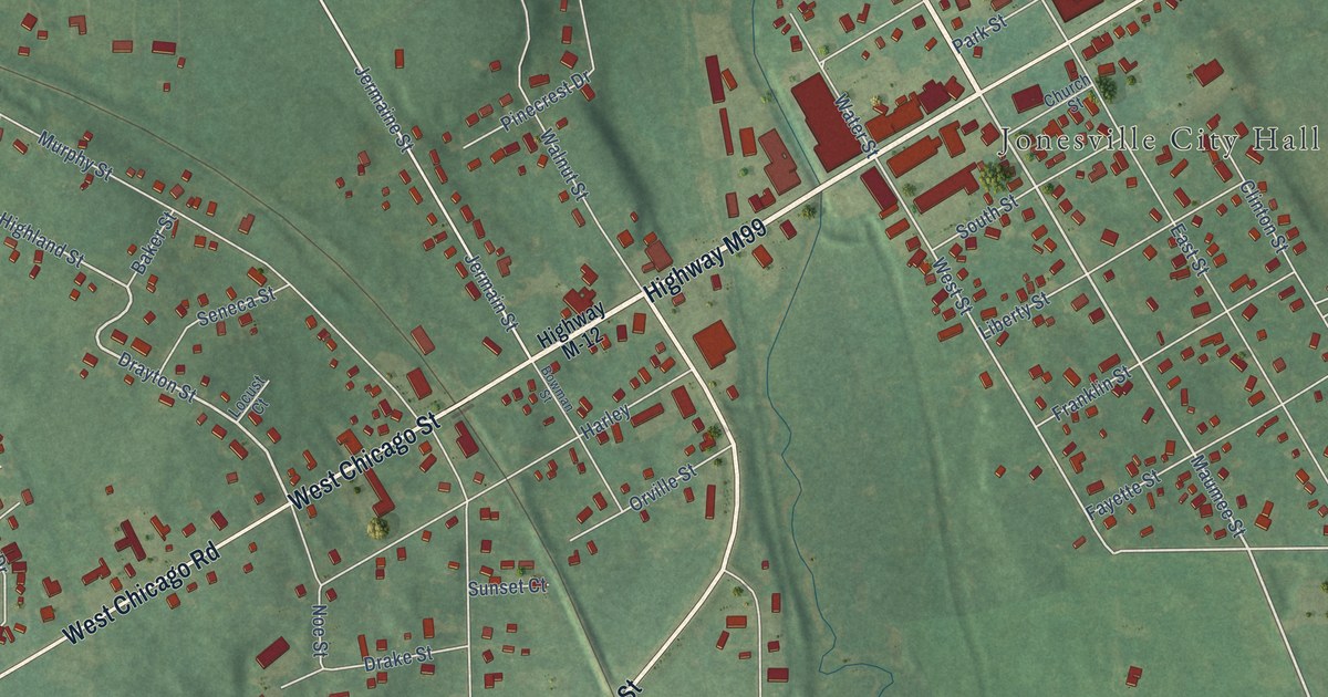
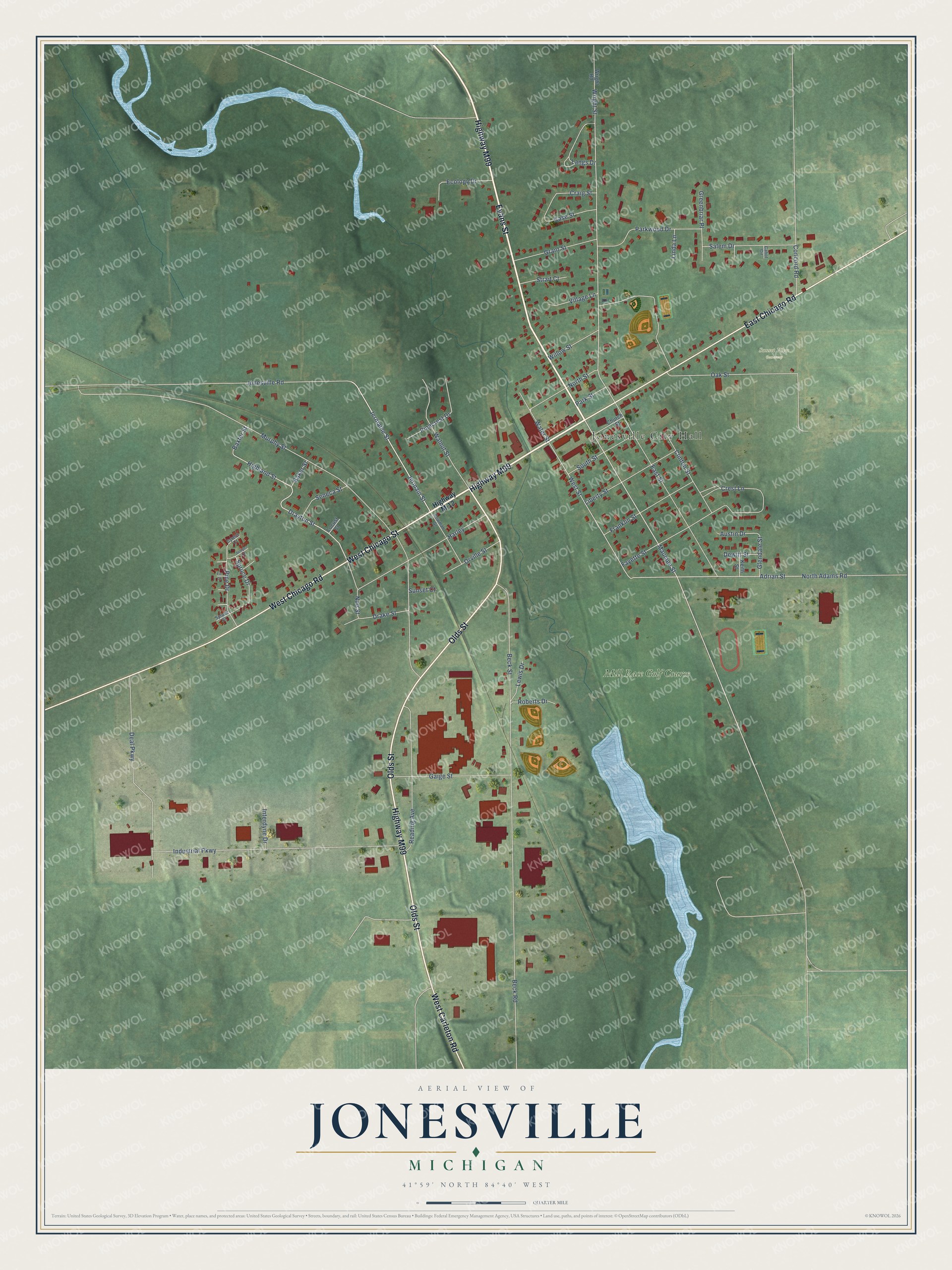
This beautifully detailed map of Jonesville, Michigan was created in 2026 using aerial imagery combined with modern topographical, census, street and landmark data. It's a modern aerial view of Jonesville in Hillsdale County, Michigan, that combines modern data with a vintage aesthetic. The roads feature printed names, and if you look closely you can find your exact house accurately shown in its correct location.
Explore an aerial view of Jonesville, Michigan
On this map you'll find Jonesville City Hall, Sunset View Cemetery, Mill Race Golf Course, Evans Street, Olds Street, West Chicago Street, Highway M99, East Chicago Road, West Chicago Road, West Carleton Road, Drayton Street, Maumee Street, and more. Each red shape is a building, so zoom in on the preview and look for yours.
Jonesville has a story worth telling. The History of Hillsdale County puts it this way: "In 1834 the first stock of goods in the county was opened for sale at Jonesville by the firm of Cook & Ferris (John P. Cook and Chauncey W. Ferris). During the same year Levi Baxter and Cook Sisson began a grist-mill at Jonesville, the first in the county."
Jonesville is a city in Hillsdale County. The Census Bureau counted 2,176 people here in 2020.
Take a closer look at the Jonesville map
Names on this map
These names are printed on this map.
Places: Jonesville City Hall, Sunset View Cemetery and Mill Race Golf Course.
Streets and roads: Evans Street, Olds Street, West Chicago Street, Highway M99, East Chicago Road, West Chicago Road, West Carleton Road, Drayton Street, Maumee Street, Jermain Street, Jermaine Street, Highland Street.
More street names, A to Z
Adrian Street, Austin Drive, Baker Street, Baxter Street, Beck Road, Beck Street, Bowman Street, Cabot Circle, Case Street, Church Street, Clinton Street, Concord Road, Craig Street, Crest Lane, Cyress Court, Deal Parkway, Dewitt Street, Drake Street, East Street, Ecology Drive, Fayette Street, Fir Court, Franklin Street, Gaige Street, Glendale Street, Grant Street, Greenbriar Place, Harley, Highway M-12, Industrial Parkway, Interdyne Drive, Jonesville Road, Juniper Court, Keith Street, Langs Drive, Lewis Drive, Liberty Street, Linda Lane, Locust Court, Murphy Street, Noe Street, North Adams Road, North Street, Oak Street, Orville Street, Park Street, Parkwood Drive, Pinecrest Drive, Pine Drive, Reading Avenue, Roberts Drive, Salem Drive, Seneca Street, South Street, Spruce Court, Spruce Drive, Strait Court, Sunset Court, Village Lane, Walnut Street, Water Street, West Street, Willow Street, Wright Road, Wright Street.
Created by KNOWOL in 2026. The buildings are small red shapes, the roads carry their printed names, and shaded relief shows the shape of the land. The title panel reads "AERIAL VIEW OF JONESVILLE, MICHIGAN" with 41°59' NORTH 84°40' WEST.
It looks right in a kitchen, an office or a den, and it's a gift for anyone who grew up in Jonesville or moved away. Open the preview and find your street. See sizes and frames for the Jonesville map.