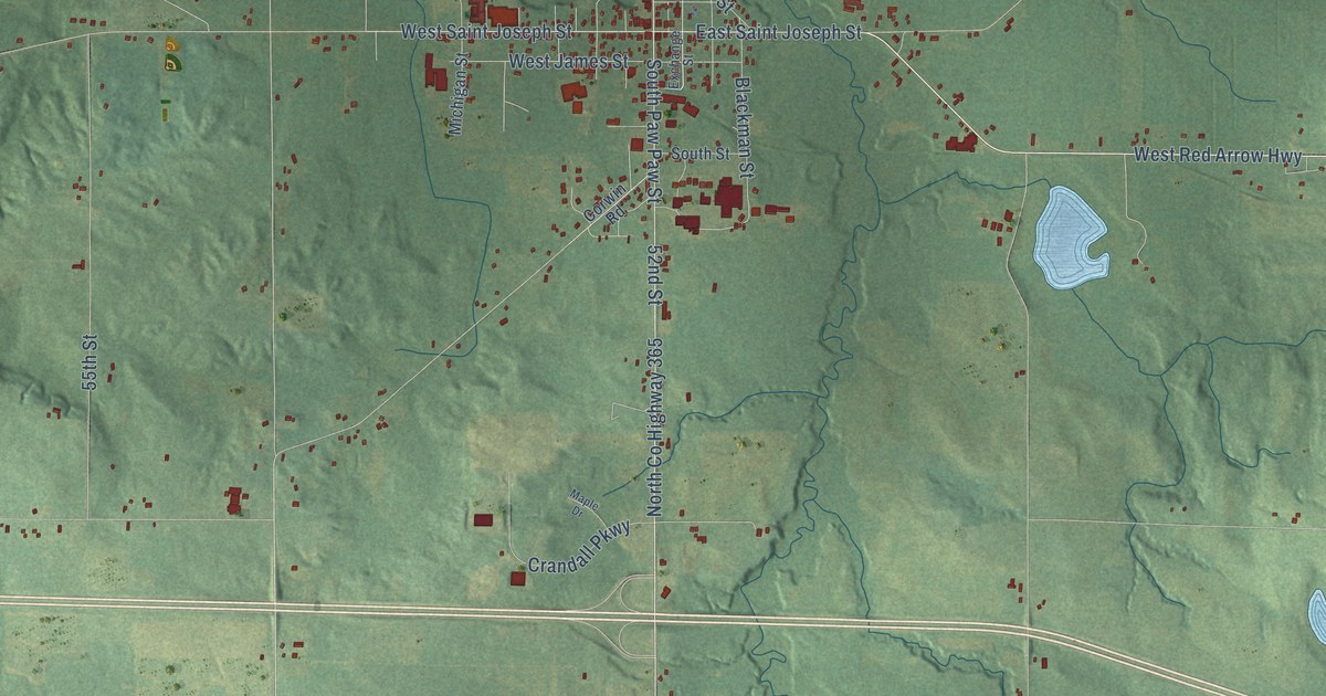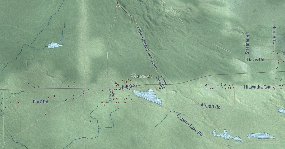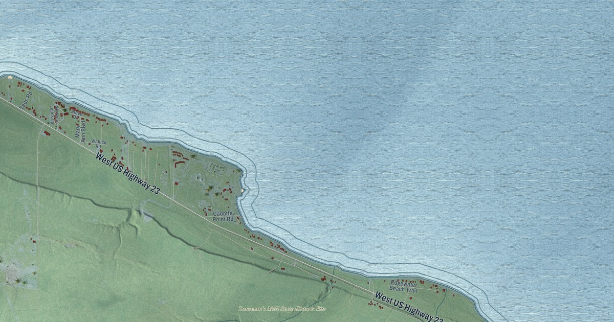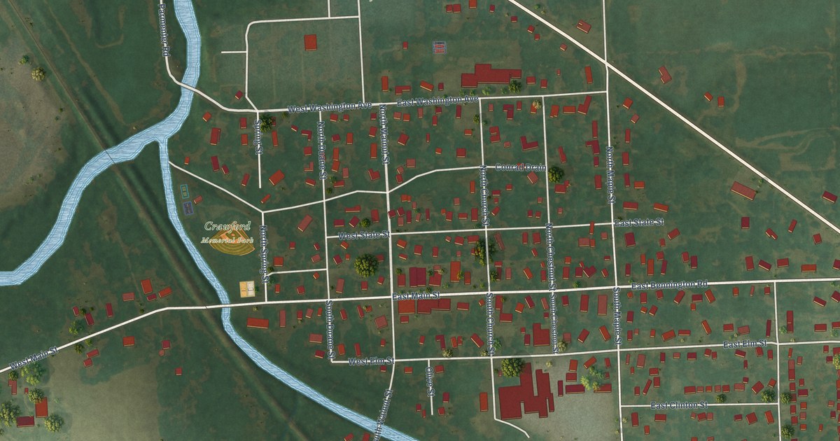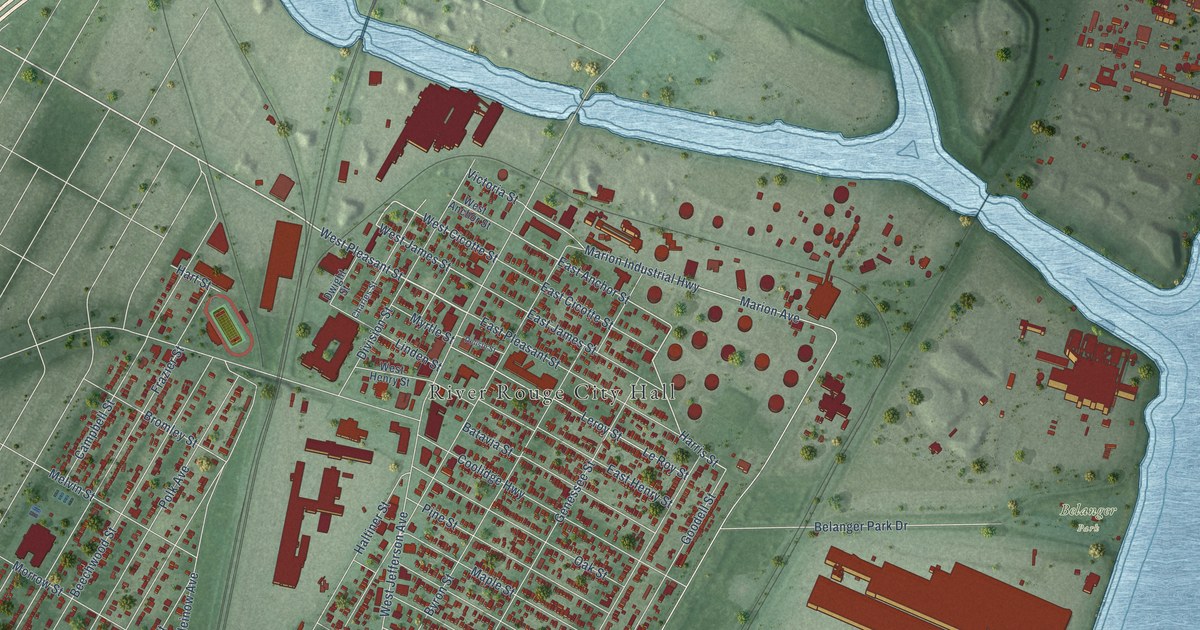
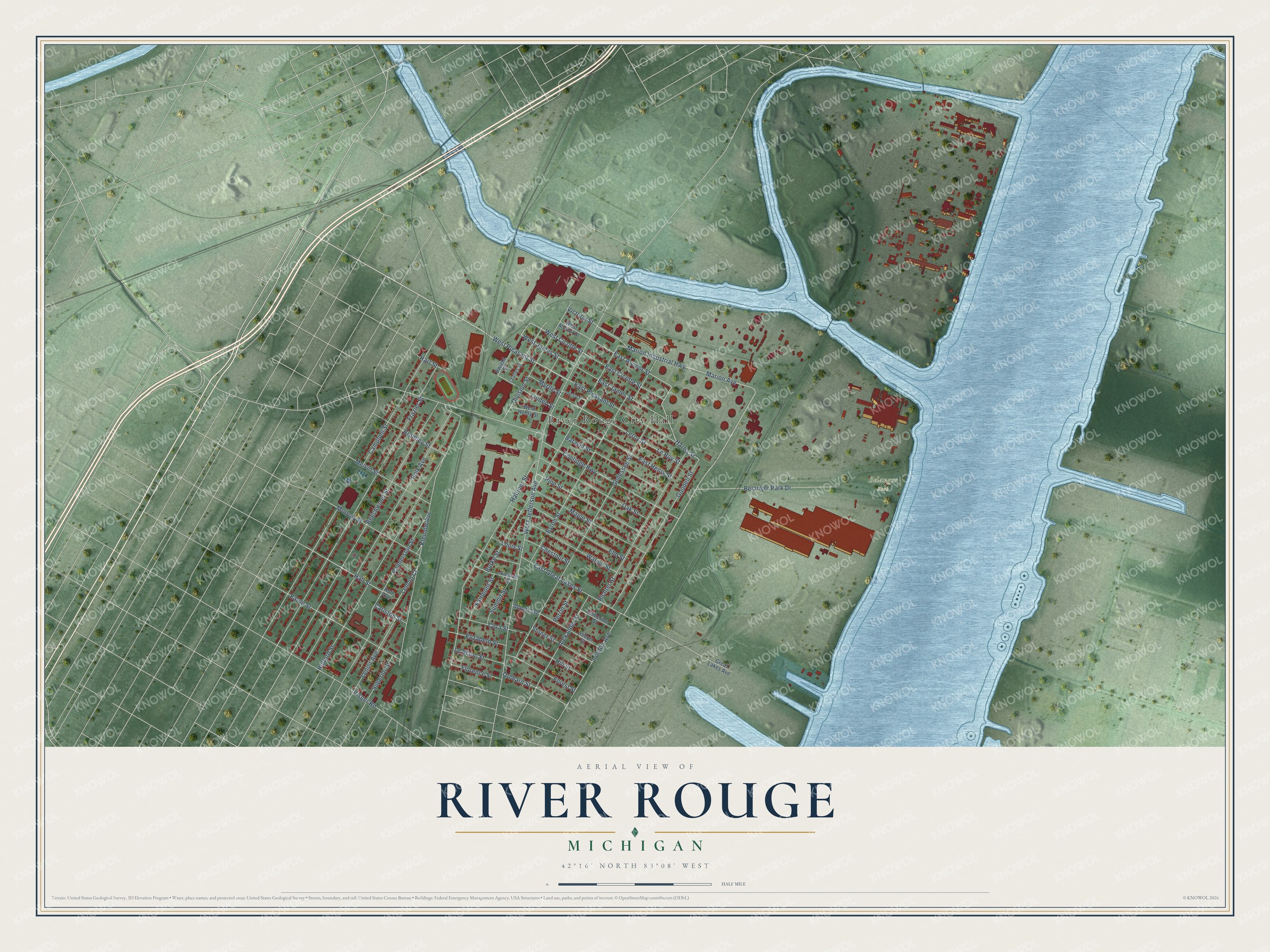
This beautifully detailed map of River Rouge, Michigan was created in 2026 using aerial imagery combined with modern topographical, census, street and landmark data. It's a modern aerial view of River Rouge in Wayne County, Michigan, that combines modern data with a vintage aesthetic. The roads feature printed names, and if you look closely you can find your exact house accurately shown in its correct location.
Explore an aerial view of River Rouge, Michigan
On this map you'll find River Rouge City Hall, Belanger Park, West Pleasant Street, West Cicotte Street, Harris Street, Hall Street, West James Street, East Anchor Street, Marion Avenue, Marion Industrial Highway, West Jefferson Avenue, Frazier Street, and more. Each red shape is a building, so zoom in on the preview and look for yours.
River Rouge has a story worth telling. The U.S. Geological Survey puts it this way: "Founded in 1891. Incorporated as a village in 1899 and as a city in 1922."
River Rouge is a city in Wayne County. The Census Bureau counted 7,224 people here in 2020.
Take a closer look at the River Rouge map
Names on this map
These names are printed on this map.
Places: River Rouge City Hall and Belanger Park.
Streets and roads: West Pleasant Street, West Cicotte Street, Harris Street, Hall Street, West James Street, East Anchor Street, Marion Avenue, Marion Industrial Highway, West Jefferson Avenue, Frazier Street, Campbell Street, Coolidge Highway.
More street names, A to Z
Abbott Avenue, Abbott Street, Alexander Street, Batavia Street, Beechwood Street, Belanger Park Drive, Bromley Street, Burke Street, Byron Street, Carlston Street, Catherine Street, Charles Street, Chestnut Street, Cora Street, Delisle Street, Division Street, Dwight Street, East Cicotte Street, East Great Lakes Street, East Henry Street, East James Street, East Pleasant Street, Eaton Street, Elizabeth Street, Elm Street, Fairmont Street, Florence Street, Forest Street, Genessee Street, Goodell Street, Great Lakes Avenue, Hall Avenue, Haltiner Street, Hart Street, Hill Street, Holford Street, Ironton Avenue, Kleinow Avenue, Le Blanc Street, Lenoid Court, Lenoir Avenue, Le Roy Street, Leroy Street, Linden Street, Louis Street, Maple Street, Melvin Street, Morrow Street, Myrtle Street, Nieman Street, Oak Street, Orchard Street, Palmerston Street, Perrin Street, Pine Street, Polk Avenue, Richter Street, Stoner Street, Summit Street, Superior Street, Victoria Street, Visger Road, Walnut Street, West Anchor Street, West Henry Street.
Created by KNOWOL in 2026. The buildings are small red shapes, the roads carry their printed names, and shaded relief shows the shape of the land. The title panel reads "AERIAL VIEW OF RIVER ROUGE, MICHIGAN" with 42°16' NORTH 83°08' WEST.
It looks right in a kitchen, an office or a den, and it's a gift for anyone who grew up in River Rouge or moved away. Open the preview and find your street. See sizes and frames for the River Rouge map.