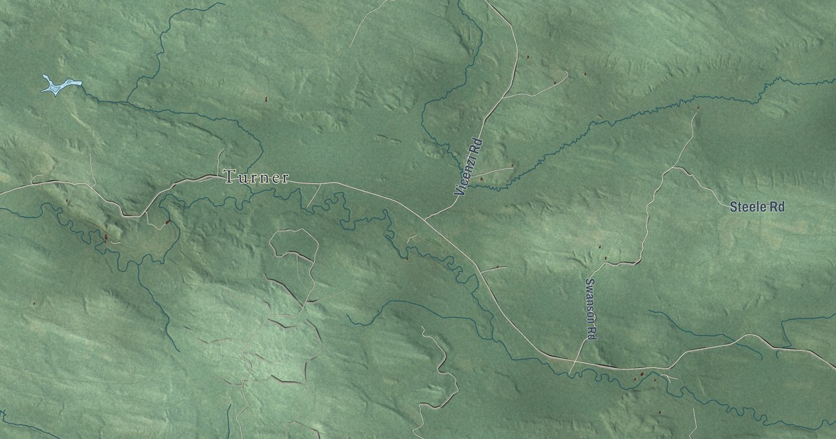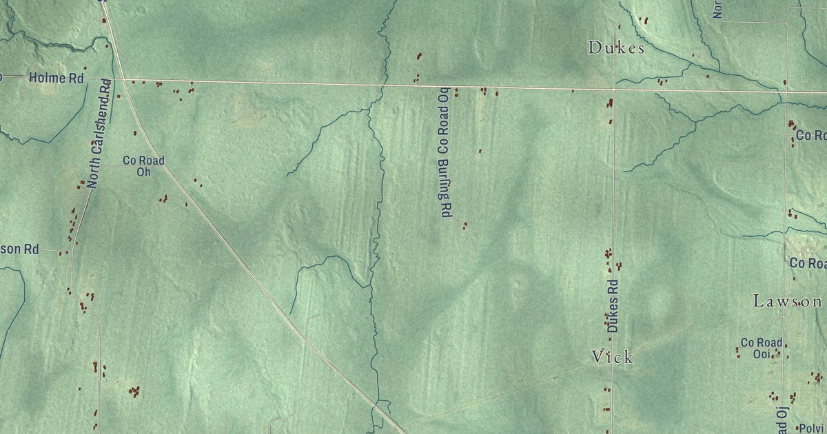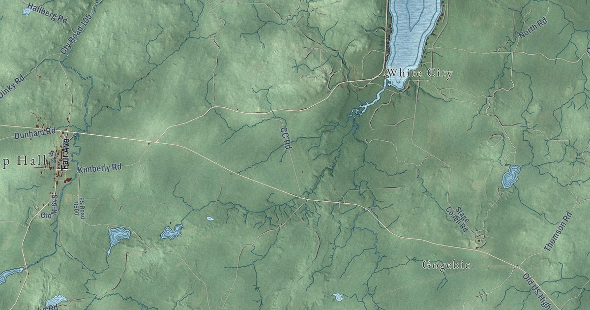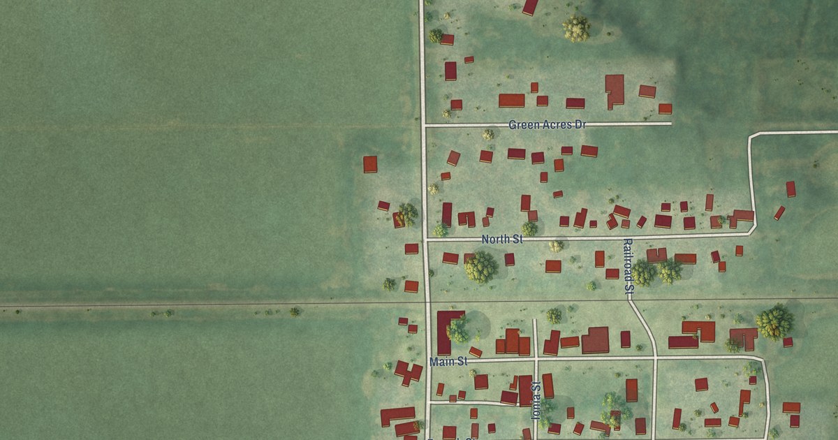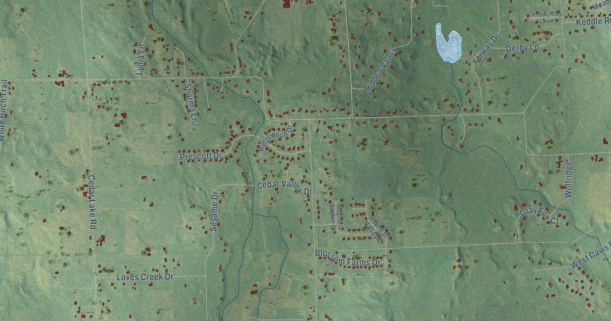
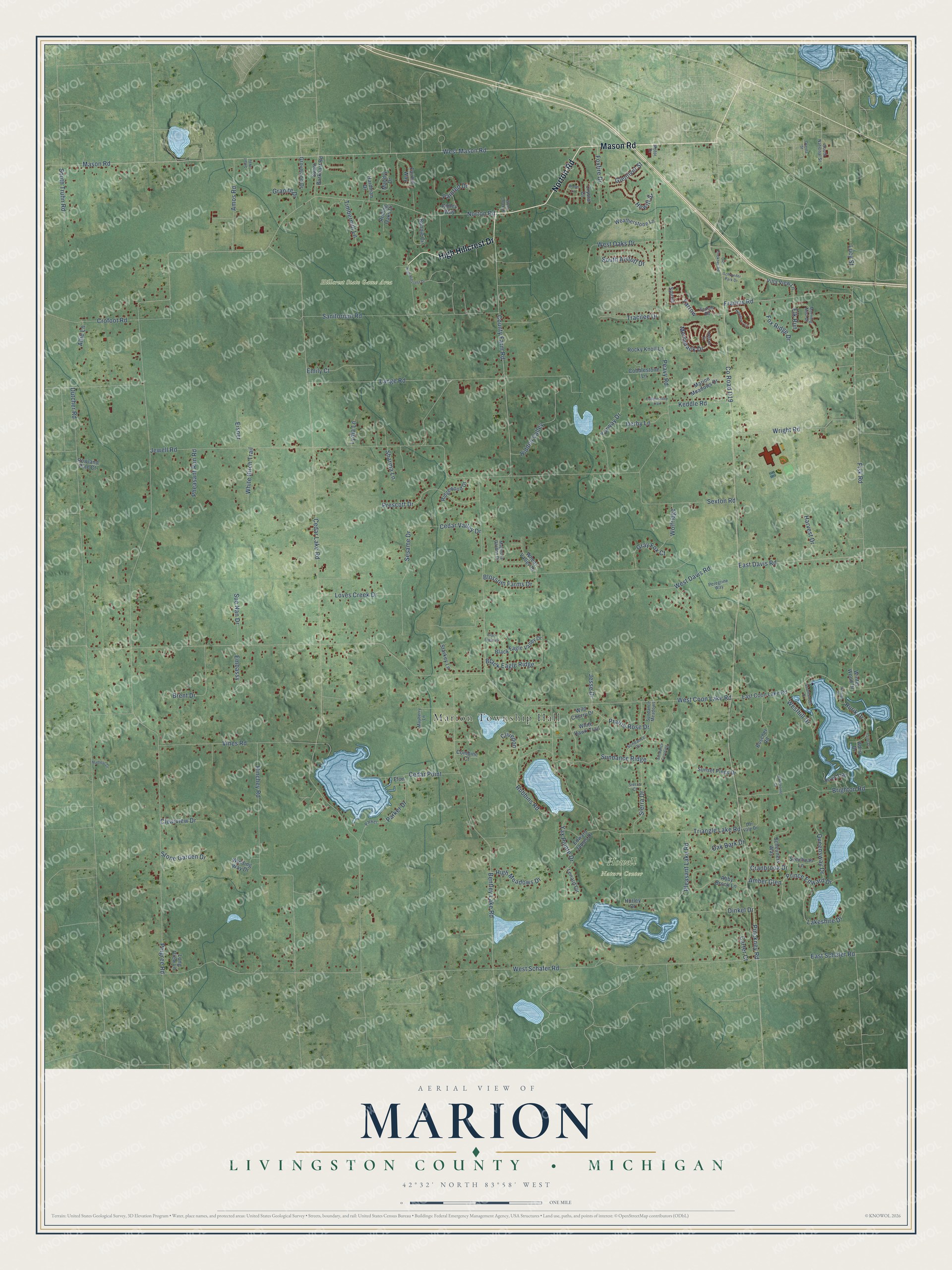
This beautifully detailed map of Marion, Michigan was created in 2026 using aerial imagery combined with modern topographical, census, street and landmark data. It's a modern aerial view of Marion in Livingston County, Michigan, that combines modern data with a vintage aesthetic. The roads feature printed names, and if you look closely you can find your exact house accurately shown in its correct location.
Explore an aerial view of Marion, Michigan
On this map you'll find Marion Township Hall, Hillcrest State Game Area, Howell Nature Center, Norton Road, Mason Road, High Hillcrest Drive, County Farm Road, Pinckney Road, East Davis Road, Fisk Road, Cedar Lake Road, Co Road D19, and more. Each red shape is a building, so zoom in on the preview and look for yours.
Every town has a first chapter, and Marion is no exception. The History of Livingston County puts it this way: "Christopher Van Nest made his first settlement in the township of Marion, but removed to Howell about 1844, and settled opposite his brother on the northeast quarter of section 18, where George W. Fitch now resides."
The Census Bureau counted 11,245 people here in 2020.
Take a closer look at the Marion map
Names on this map
These names are printed on this map.
Places: Marion Township Hall, Hillcrest State Game Area and Howell Nature Center.
Streets and roads: Norton Road, Mason Road, High Hillcrest Drive, County Farm Road, Pinckney Road, East Davis Road, Fisk Road, Cedar Lake Road, County Road D19, Pingree Road, West Coon Lake Road, Dutcher Road.
More street names, A to Z
Abby Brook Lane, Adria Drive, Allie Lane, Amber Glen, Amos Road, Bentley Lake Road, Black Eagle Drive, Black Eagle Ridge, Black Eagle Valley Drive, Blossom Farms Drive, Bonnie Circle, Boscher Road, Brent Drive, Brighton Road, Carter Court, Cedar Point, Cedar Valley Drive, Clearview Drive, Clivedon, Cobblestone Lane, Cobblestone Trail, Combine Court, Cranbrook Drive, Crofoot Road, Crystal Court, Dar Vale Drive, Derby Lane, Dinkel Drive, East Coon Lake Road, East Schafer Road, Edward James Drive, Eisner, Elk Run, Elon, Embassy, Emily Court, Fairhill Way, Foxfire Drive, Fox Ridge Drive, Francis Road, Glenlivet Street, Granite Drive, Gray Fox Court, Groveland Drive, Hardman Drive, Harvest Drive, Hawthorne Drive, Hewitt Street, Hidden Valley, High Meadows Drive, Hillside Drive, Hinchey Road, Hudson Drive, Hurley Drive, Irene Drive, Jesse Drive, Jewell Road, Keddle Road, Lakeshire Drive, Lange Road, Lenard Circle, Long View Lane, Loves Creek Drive, Lucy Street, Lydia Lane, Madleys Lane, Magnolia Garden Drive, Mandry Drive, Marion Meadows Drive, Mayberry Lane, Merrimack Drive, Morning Mist Drive, Motor Drive, Newberry Lane, Oak Bark Drive, Oceola Street, Old Pinckney Road, Painted Drive, Parker, Parker Drive, Peavy Road, Peregrine Way, Pheasant Run Road, Pleasant Lake Road, Prairie Rose Drive, Prescott Drive, Prince Edward Drive, Queensway Drive, Ridgewood Drive, Ridley Way, Rocky Knoll Lane, Rolling Oaks Drive, Rowland Pine Court, Roya Trail, Rubbins Road, Rurik Drive, Sanitorium Road, Scheuners Way, Schroeder Park Drive, Sedum Road, Sesame Drive, Sexton Road, Sharma Lane, Sierra Court, Sierra Drive, Small Way, South Alstott Drive, South Burkhart Road, South National Street, South Truhn Road, Southwoods Drive, Spirea, Starkey Lane, Stone Garden Drive, Sue Nan Drive, Sundance Circle, Sundance Crossing, Sundance Meadows, Sundance Ridge, Sunset Pines Drive, Szechuan Lane, Timbermill Lane, Tracilee Drive, Triangle Lake Road, Villa View Lane, Vines Road, Weatherstone Lane, West Davis Road, Westhill Drive, West Mason Road, West Oaks Drive, West Schafer Road, Wheat Valley Drive, White Birch Trail, White Hawk Trail, Wild Cherry Drive, Winding Way Drive, Winter Wood Drive, Wolfridge, Wood Creek Drive, Wood Lane, Wright Road, Yarrow, Yax Pointe Drive, Yorway Drive.
Created by KNOWOL in 2026. The buildings are small red shapes, the roads carry their printed names, and shaded relief shows the shape of the land. The title panel reads "AERIAL VIEW OF MARION, LIVINGSTON COUNTY • MICHIGAN" with 42°32' NORTH 83°58' WEST.
Hang it in the hallway, the office or the cabin, or give it to someone who left Marion and still calls it home. Open the preview and look for a street you know. See sizes and frames for the Marion, Livingston County map.