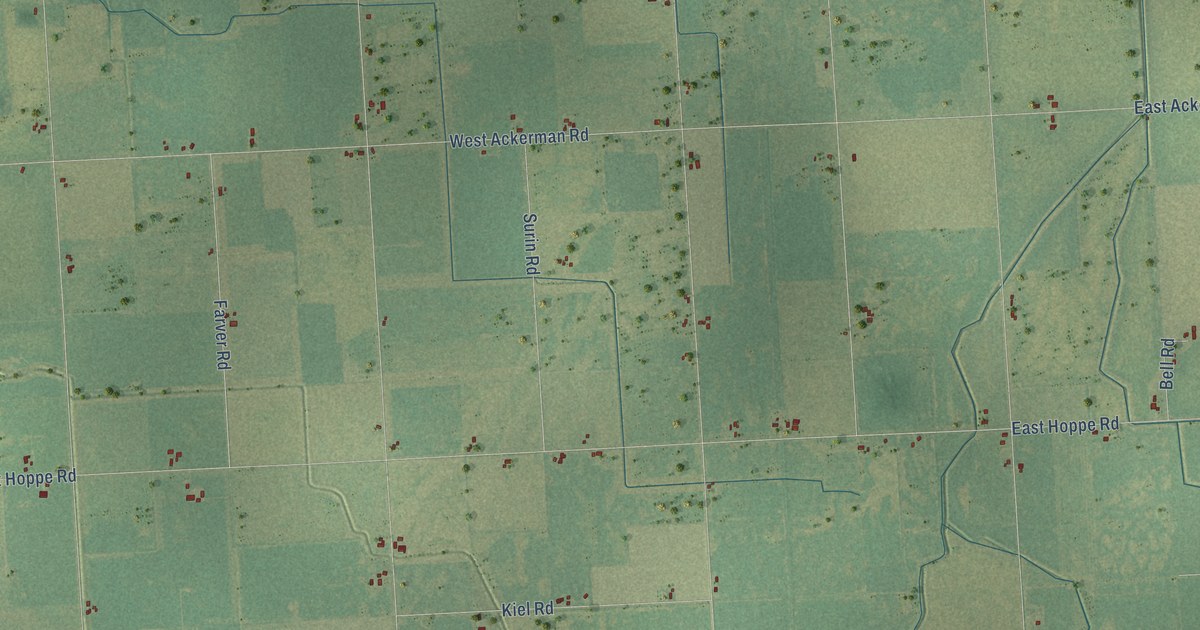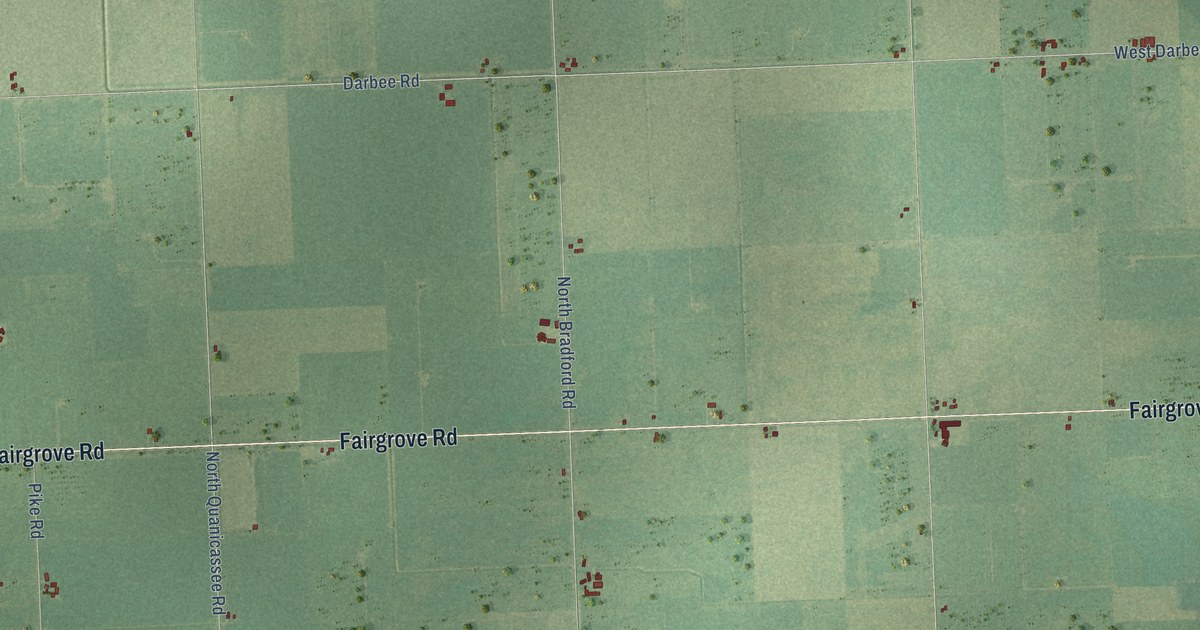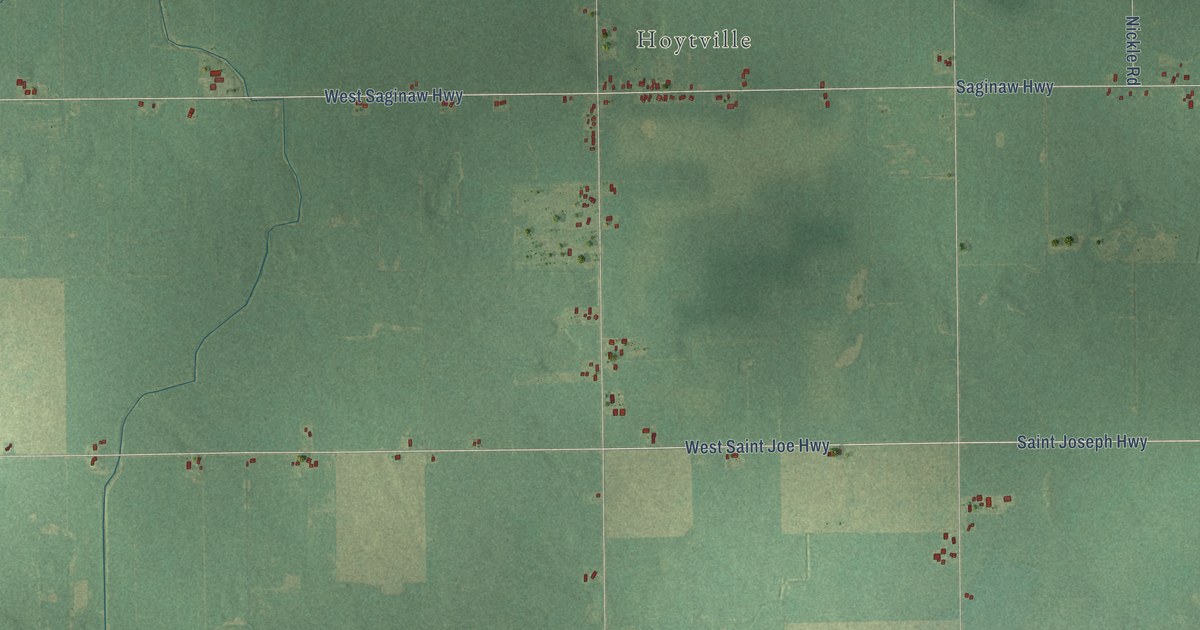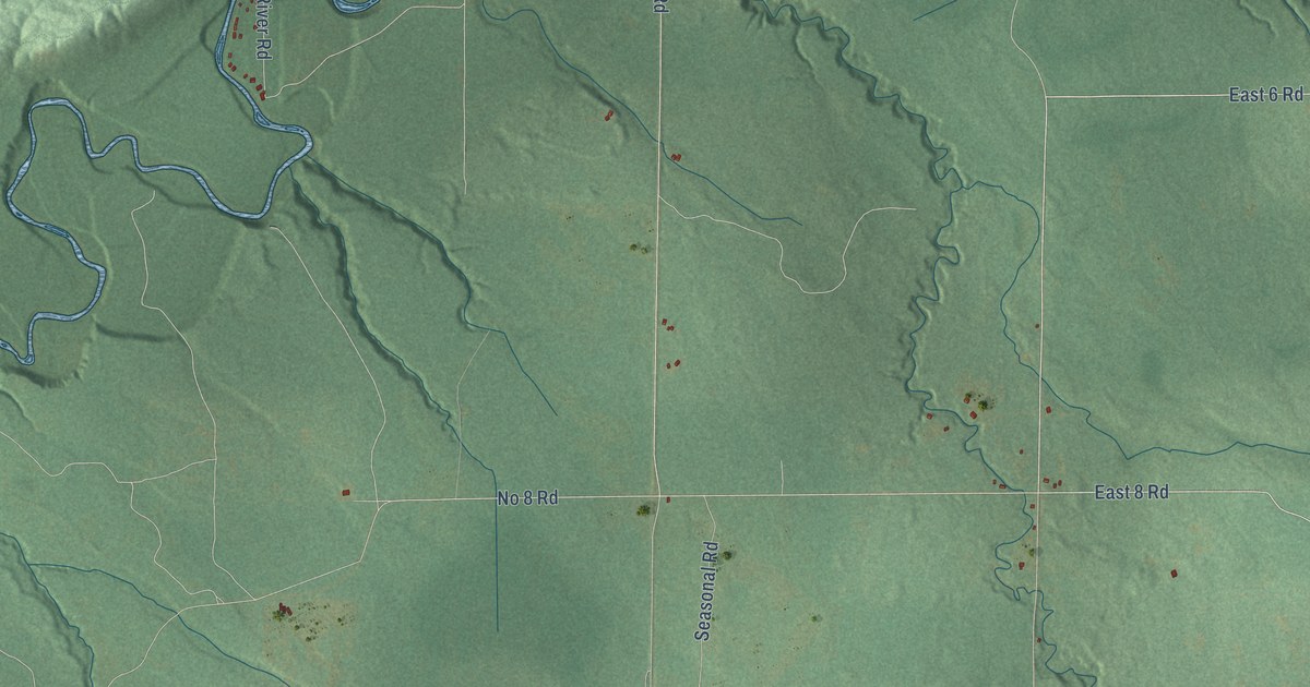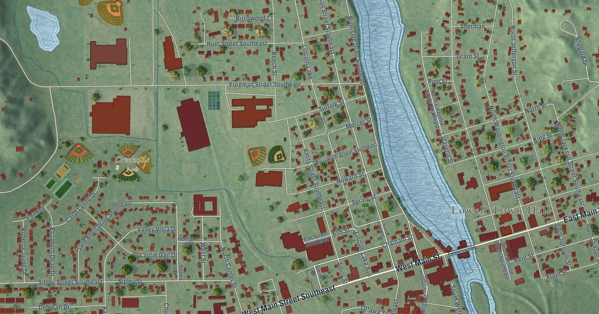
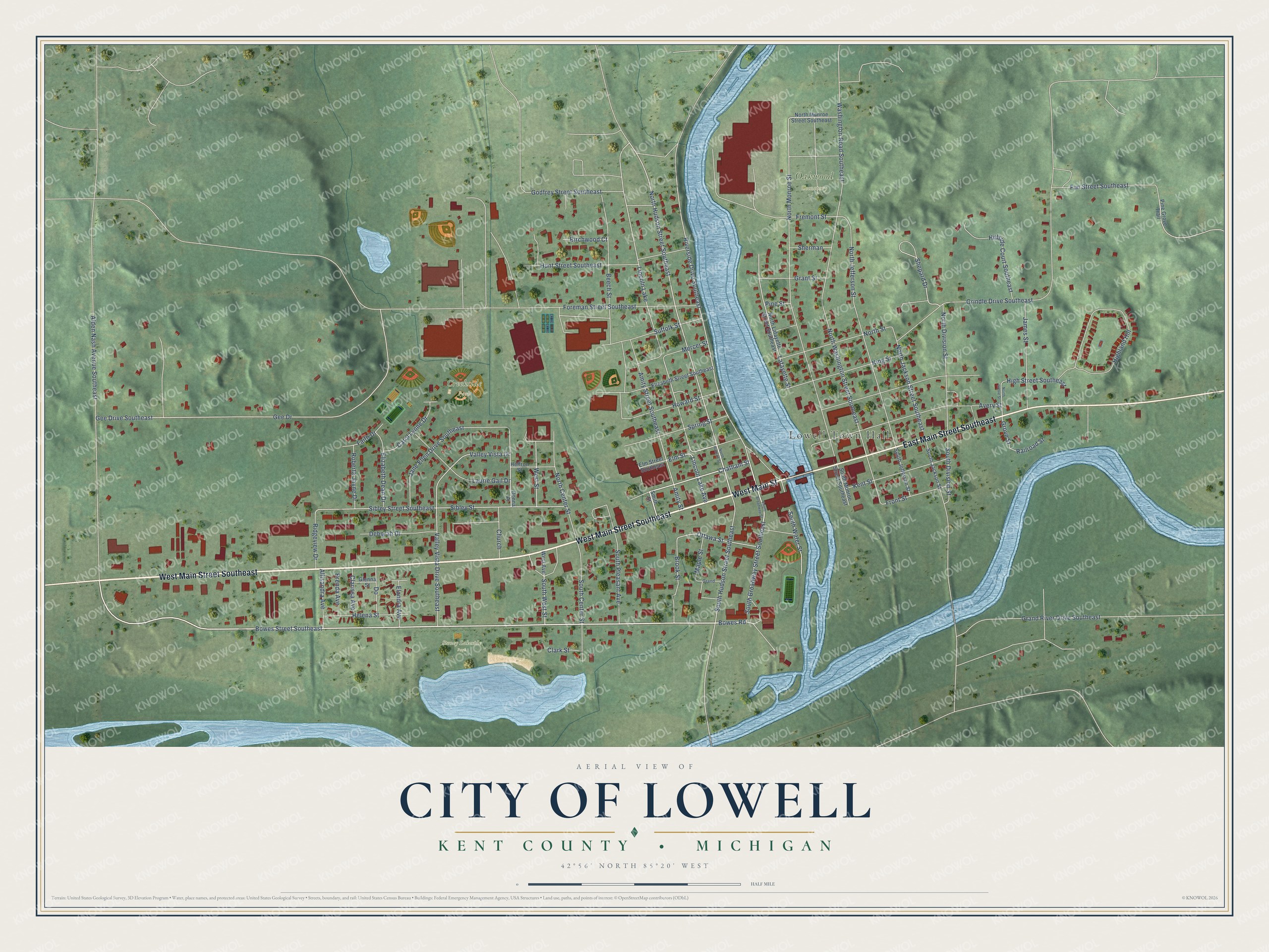
This beautifully detailed map of Lowell, Michigan was created in 2026 using aerial imagery combined with modern topographical, census, street and landmark data. It's a modern aerial view of Lowell in Kent County, Michigan, that combines modern data with a vintage aesthetic. The roads feature printed names, and if you look closely you can find your exact house accurately shown in its correct location.
Explore an aerial view of Lowell, Michigan
On this map you'll find Lowell Town Hall, Creekside Park, Oakwood Cemetery, Stoney Lakeside Park, West Main Street Southeast, West Main Street, East Main Street Southeast, South Broadway Street Southeast, Bowes Road, Bowes Street Southeast, Chatham Street, North Hudson Street Southeast, and more. Each red shape is a building, so zoom in on the preview and look for yours.
Every town has a first chapter, and Lowell is no exception. The Grand Rapids and Kent County puts it this way: "The history of the village of Lowell is inseparably connected with that of the township, and it was platted in 1848 by Daniel Marsac, who named the place Dansville. The first postmaster was Philander Tracy."
Lowell is a city in Kent County. The Census Bureau counted 4,142 people here in 2020.
Take a closer look at the Lowell map
Names on this map
These names are printed on this map.
Places: Lowell Town Hall, Creekside Park, Oakwood Cemetery, Stoney Lakeside Park and Lincoln Lake.
Streets and roads: West Main Street Southeast, West Main Street, East Main Street Southeast, South Broadway Street Southeast, Bowes Road, Bowes Street Southeast, Chatham Street, North Hudson Street Southeast, Elm Street, Lincoln Lake Avenue, Riverside Drive Southeast, South Hudson Street Southeast.
More street names, A to Z
Alden Nash Avenue Southeast, Allisandra Avenue, Amity Street, Amity Street Southeast, Avery Street, Beech Street, Birchwood Court, Brenda Avenue, Brook Street, Carol Lynne Drive, Church, Clarissa Avenue, Clark Street, Deborah Drive, Donna Drive, Elandra Avenue, Elizabeth Dean Drive, Elizabeth Street Southeast, Elm Street Southeast, Faith Drive, Foreman Street Southeast, Fremont Street, Front Street, Fun Street Southeast, Gee Drive, Gee Drive Southeast, Glenna Street, Godfrey Street Southeast, Grand, Grand River Drive Southeast, Grant Street, Grindle Drive Southeast, Grove Street, Heffron Street, Helena Street, Highland Hill, High Street Southeast, Hillside Court Southeast, Howard Street, Hunt Street Southeast, James Street, Jane Ellen Drive Southeast, Kent Street, King Street, Lafayette Street, Laurie Gail Drive, Maple Street, Mercer Street, North Center Street, North Division Street, North Grove Street, North Hudson Street, North Jackson Street Southeast, North Jefferson Street, North Lafayette Street Southeast, North Monroe Street, North Monroe Street Southeast, North Street, North Washington Street Southeast, Ottawa Street, Pine Grove Trail, Pine Street, Railroad Street, Ridgeview Drive, Roberta Jayne Drive, Shepard Drive, Sherman, Sibley Street, Sibley Street Southeast, Smith Street, South Broadway Street, South Center Street, South Division Street, South Jackson Street, South Jefferson Street, South Monroe Street Southeast, South Pleasant Avenue, South Water Street, South West Street, Spring Street, Suffolk Street, Valley Vista Drive, Valley Vista Drive Southeast, Washington Road Southeast, West Avenue, West Street.
Created by KNOWOL in 2026. The buildings are small red shapes, the roads carry their printed names, and shaded relief shows the shape of the land. The title panel reads "AERIAL VIEW OF CITY OF LOWELL, KENT COUNTY • MICHIGAN" with 42°56' NORTH 85°20' WEST.
Hang it in the hallway, the office or the cabin, or give it to someone who left Lowell and still calls it home. Open the preview and look for a street you know. See sizes and frames for the Lowell map.