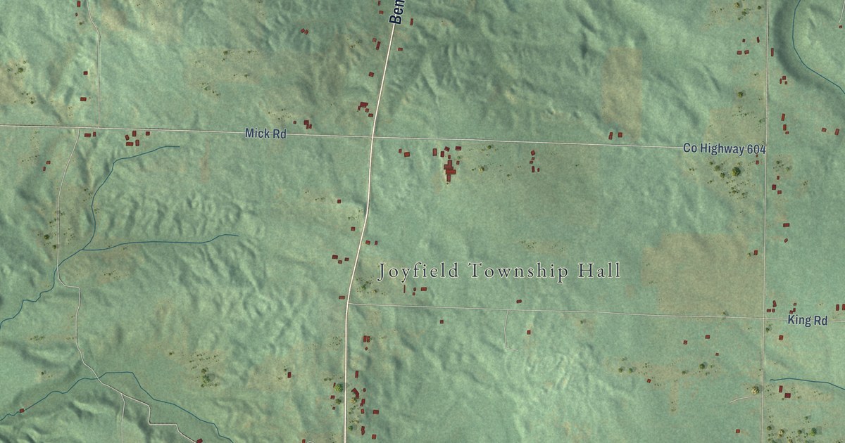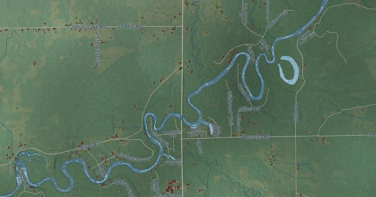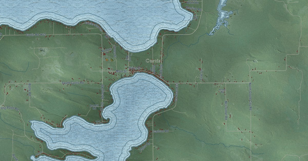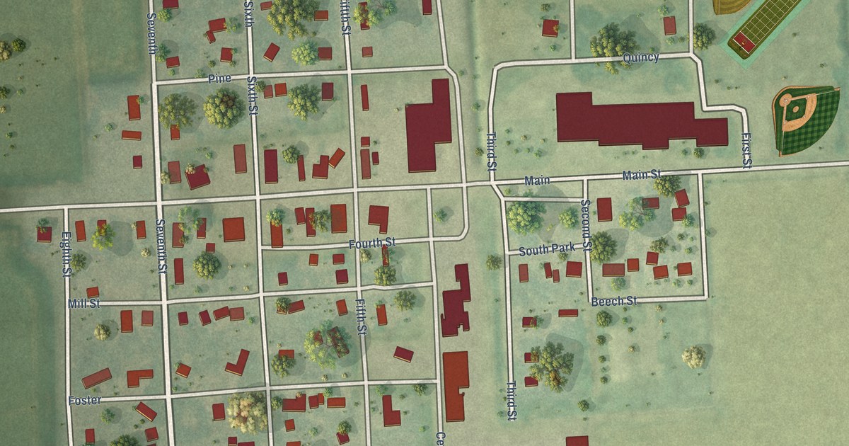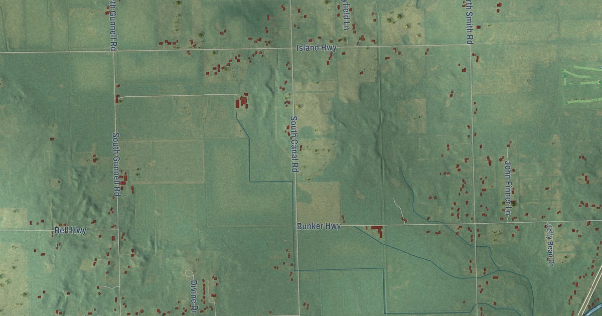
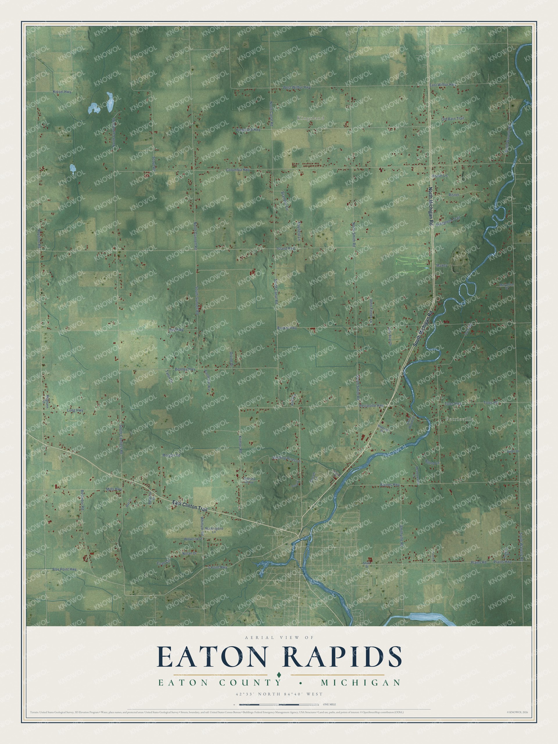
This beautifully detailed map of Eaton Rapids, Michigan was created in 2026 using aerial imagery combined with modern topographical, census, street and landmark data. It's a modern aerial view of Eaton Rapids in Eaton County, Michigan, that combines modern data with a vintage aesthetic. The roads feature printed names, and if you look closely you can find your exact house accurately shown in its correct location.
Explore an aerial view of Eaton Rapids, Michigan
On this map you'll find Kingsland, Petrieville, South Michigan Road, North Michigan Road, East Clinton Trail, South Canal Road, Kemler Road, 5 Point Highway, Five Point Highway, West Wilbur Highway, North Waverly Road, East Wilbur Highway, and more. Each red shape is a building, so zoom in on the preview and look for yours.
Eaton Rapids has a story worth telling. The History of Ingham and Eaton Counties puts it this way: "B. P. Mills, a native of Hartland, Windsor Co., Vt., settled in Eaton Rapids township, Aug. 12, 1837, when the village contained but three shanties."
The Census Bureau counted 3,991 people here in 2020.
Take a closer look at the Eaton Rapids map
Names on this map
These names are printed on this map.
Places: Kingsland and Petrieville.
Streets and roads: South Michigan Road, North Michigan Road, East Clinton Trail, South Canal Road, Kemler Road, 5 Point Highway, Five Point Highway, West Wilbur Highway, North Waverly Road, East Wilbur Highway, South Canfield Road, Barnes Highway.
More street names, A to Z
Anita Lane, Anna Lane, Arch Road, Bell Highway, Bentley Highway, Bostedor Road, Brandon Circle, Bunker Highway, Carlton Drive, Columbia Highway, Deep Woods Drive, Divine Drive, Evan Circle, Evergreen Trail, Galusha Grove, Hilltop Lane, Imperial Drive, Island Highway, Jelly Bean Drive, John Finner Lane, Kingsland Highway, Kinsel Highway, Long Highway, Maryellen Drive, Maxey, Mayfield Lane, Meadowside Lane, Meghann Lane, Mills Highway, Mockingbird Lane, Morgan Road, Nolan Drive, North Canal Road, North Canfield Road, North Gunnell Road, North Smith Road, Old Barn Trail, Petrieville Highway, Plains Highway, Plains Road, Provencal Drive, Ray Lane, Rebecca Drive, Risner, Risner Lane, Royston Road, Scout Road, Slocum Lane, Smithville Road, South Gunnell Road, South Smith Road, South Waverly Road, Spalding Drive, State Street, Talon Drive, Toles Highway, Toles Road, Valdo Drive, Whittum Road, Winchester Way, Winding Acres Lane, Wolverine Drive.
Created by KNOWOL in 2026. The buildings are small red shapes, the roads carry their printed names, and shaded relief shows the shape of the land. The title panel reads "AERIAL VIEW OF EATON RAPIDS, EATON COUNTY • MICHIGAN" with 42°33' NORTH 84°40' WEST.
It looks right in a kitchen, an office or a den, and it's a gift for anyone who grew up in Eaton Rapids or moved away. Open the preview and find your street. See sizes and frames for the Eaton Rapids, Eaton County map.