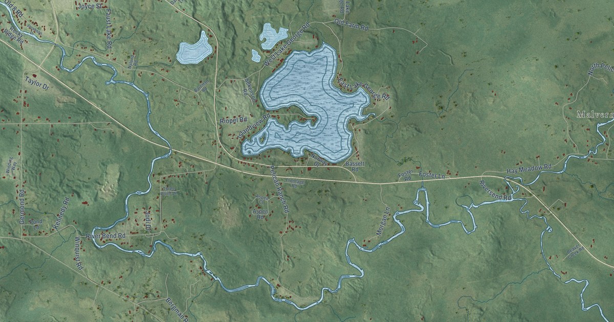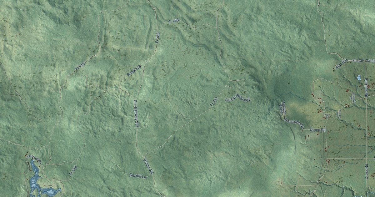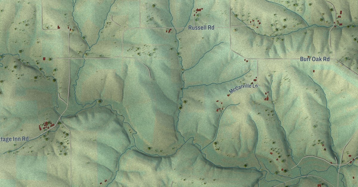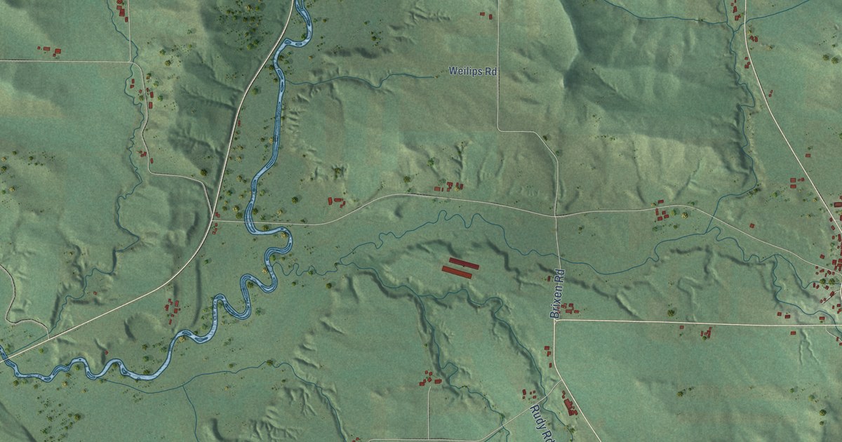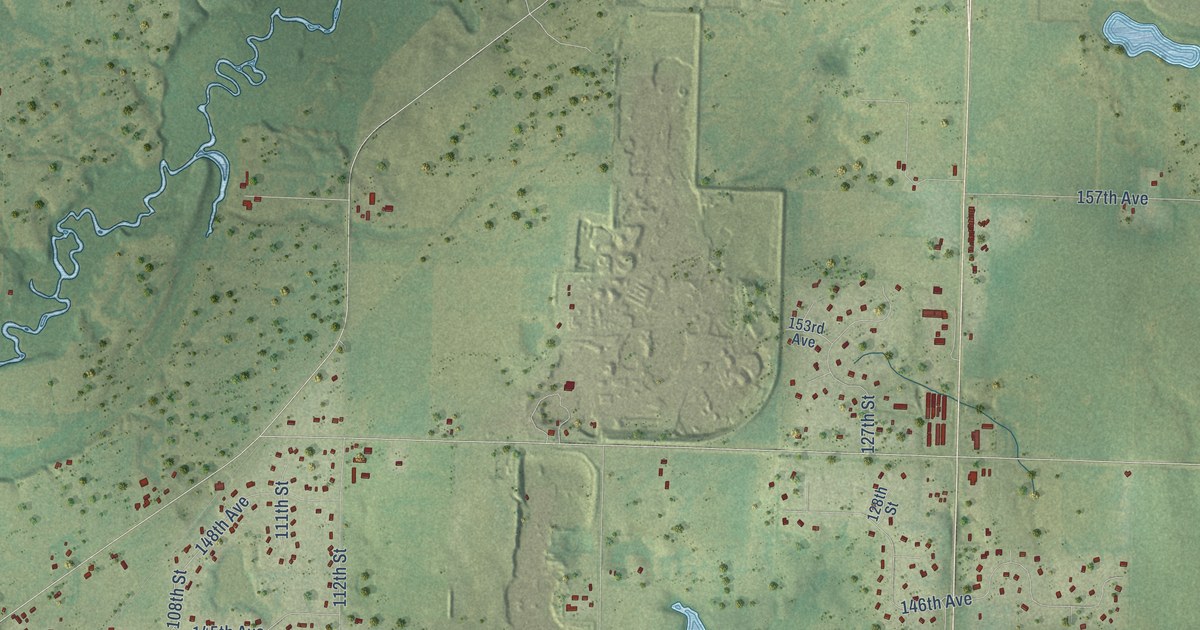
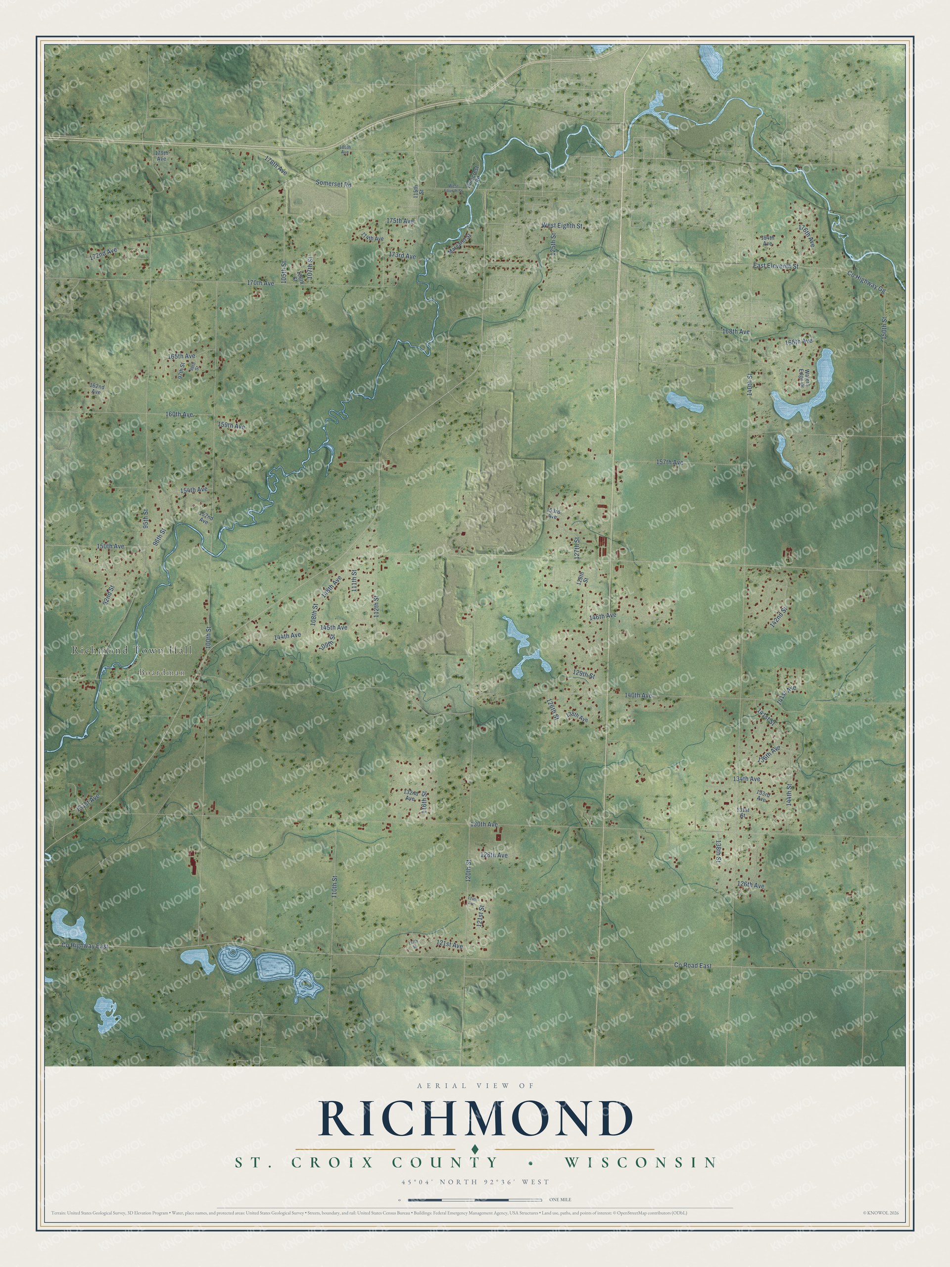
This beautifully detailed map of Richmond, Wisconsin was created in 2026 using aerial imagery combined with modern topographical, census, street and landmark data. It's a modern aerial view of Richmond in St. Croix County, Wisconsin, that combines modern data with a vintage aesthetic. The roads feature printed names, and if you look closely you can find your exact house accurately shown in its correct location.
Explore an aerial view of Richmond, Wisconsin
On this map you'll find Richmond Town Hall, Boardman, 112th Street, 175th Avenue, 108th Street, 140th Avenue, Co Highway East, Co Road East, 130th Avenue, 140th Street, 100th Street, 95th Street, and more. Each red shape is a building, so zoom in on the preview and look for yours.
Here is a piece of Richmond history, in the words of the record. The History of the Saint Croix Valley puts it this way: "The first postoffice was established at the house of Joel Bartlet, who acted as postmaster, the office being known as the Richmond postoffice."
Richmond is a town in St. Croix County. The Census Bureau counted 4,074 people here in 2020.
Take a closer look at the Richmond map
Names on this map
These names are printed on this map.
Places: Richmond Town Hall and Boardman.
Streets and roads: 112th Street, 175th Avenue, 108th Street, 140th Avenue, County Highway East, County Road East, 130th Avenue, 140th Street, 100th Street, 95th Street, 150th Street, 120th Street.
More street names, A to Z
92nd Street, 96th Street, 97th Street, 98th Street, 105th Street, 106th Street, 107th Street, 109th Street, 110th Street, 111th Street, 115th Street, 116th Street, 117th Street, 121st Avenue, 121st Street, 124th Avenue, 125th Street, 126th Avenue, 126th Street, 127th Street, 128th Avenue, 128th Street, 129th Street, 131st Avenue, 131st Street, 132nd Avenue, 133rd Avenue, 134th Avenue, 136th Avenue, 138th Avenue, 138th Street, 141st Avenue, 141st Street, 142nd Street, 144th Avenue, 144th Street, 145th Avenue, 146th Avenue, 148th Avenue, 150th Avenue, 152nd Avenue, 153rd Avenue, 154th Avenue, 157th Avenue, 159th Avenue, 160th Avenue, 162nd Avenue, 165th Avenue, 166th Avenue, 168th Avenue, 170th Avenue, 172nd Avenue, 173rd Avenue, 174th Avenue, 176th Avenue, 178th Avenue, 179th Avenue, 180th Avenue, 194th Avenue, County Highway Gg, East Eleventh Street, Margaret Street, Pinecrest Road, Somerset Road, Waters Edge Drive, West Eighth Street, West Fourth Street.
Created by KNOWOL in 2026. The buildings are small red shapes, the roads carry their printed names, and shaded relief shows the shape of the land. The title panel reads "AERIAL VIEW OF RICHMOND, ST. CROIX COUNTY • WISCONSIN" with 45°04' NORTH 92°36' WEST.
It suits a den, a classroom or a front hall, and it makes a gift for anyone with Richmond roots. Open the preview and find the block you know. See sizes and frames for the Richmond, St. Croix County map.