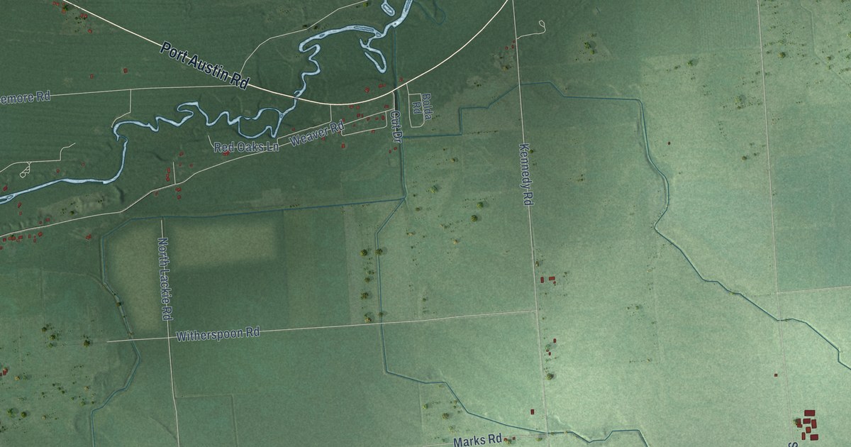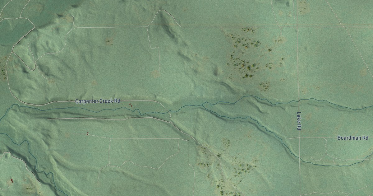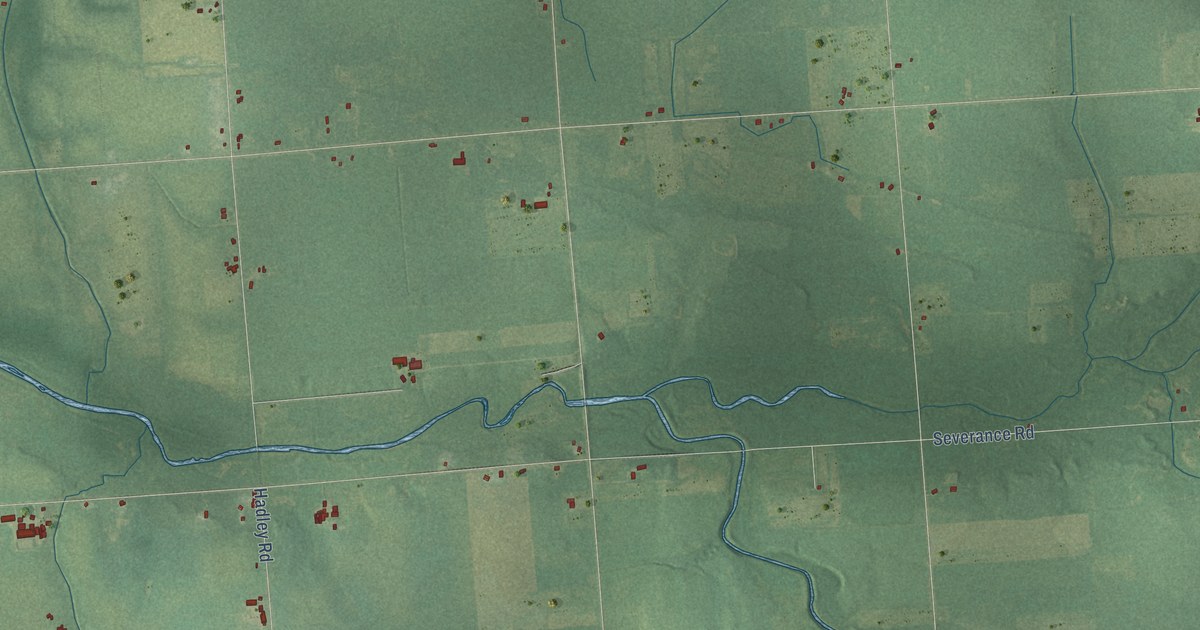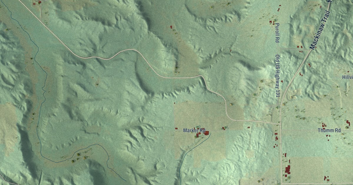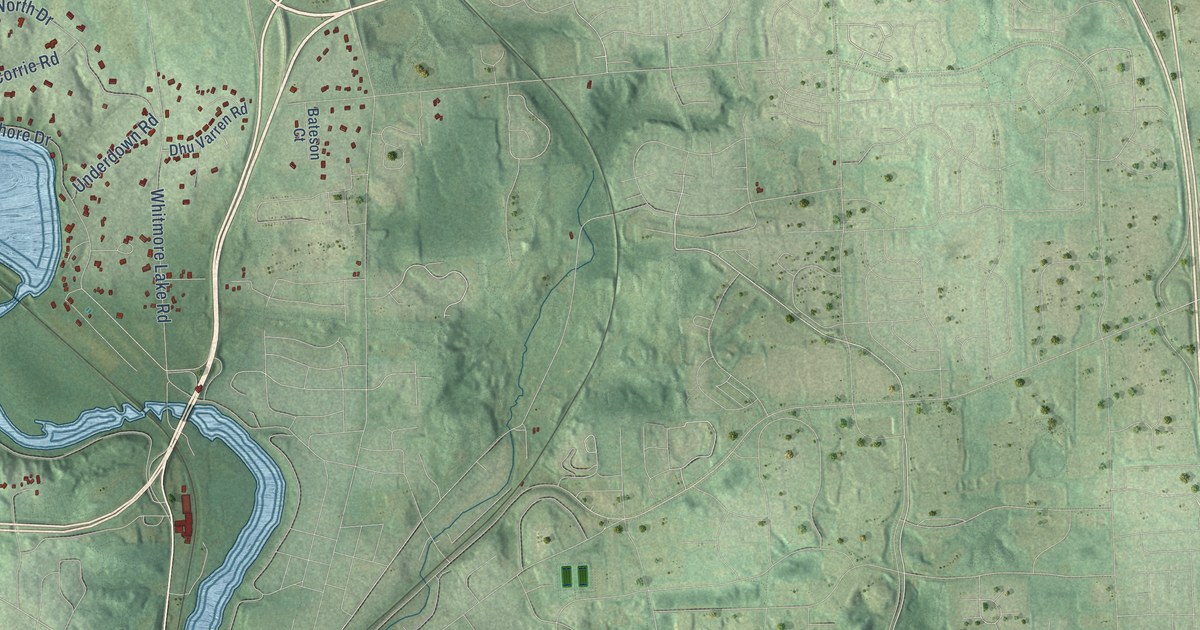
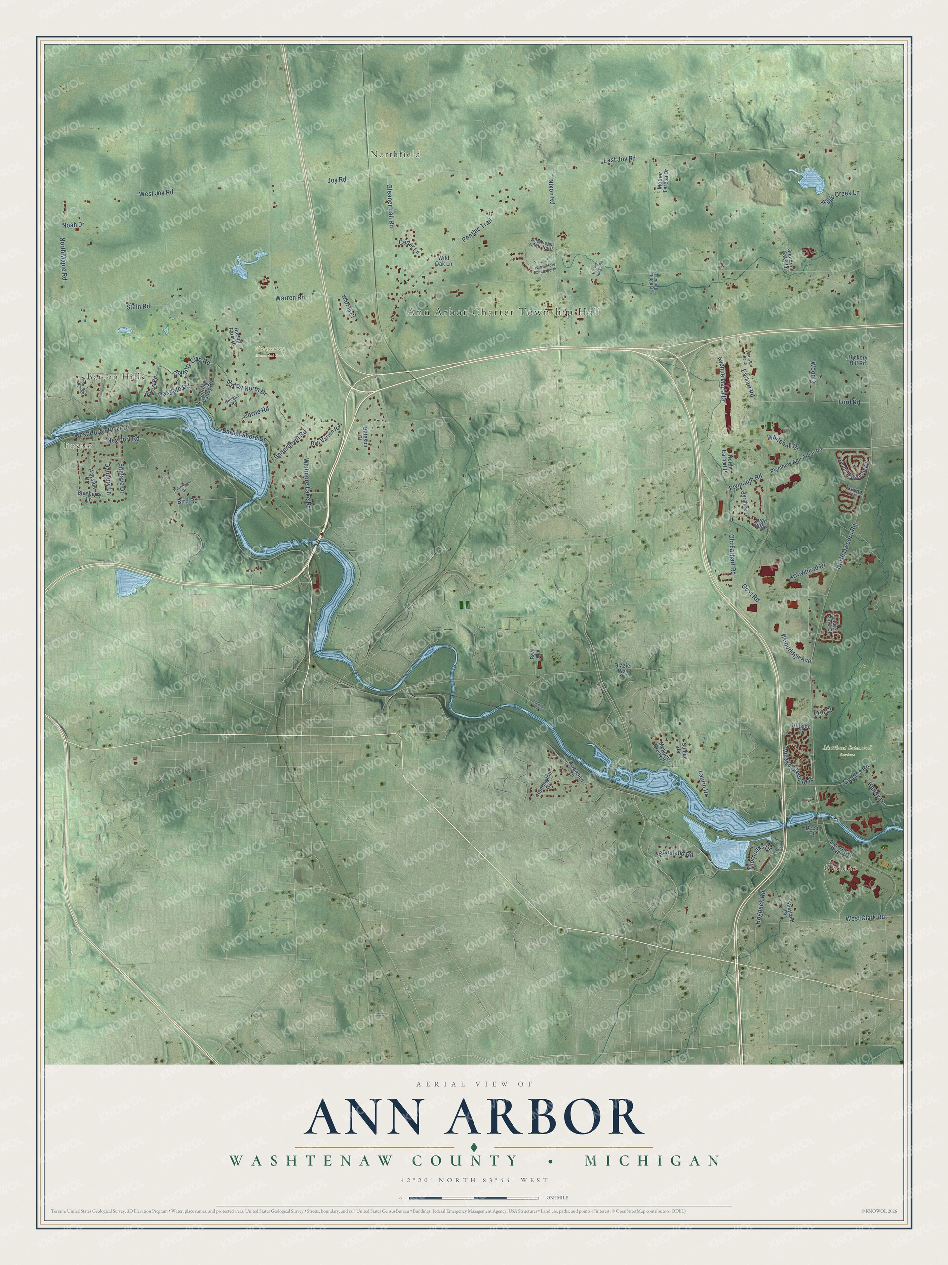
This beautifully detailed map of Ann Arbor, Michigan was created in 2026 using aerial imagery combined with modern topographical, census, street and landmark data. It's a modern aerial view of Ann Arbor in Washtenaw County, Michigan, that combines modern data with a vintage aesthetic. The roads feature printed names, and if you look closely you can find your exact house accurately shown in its correct location.
Explore an aerial view of Ann Arbor, Michigan
On this map you'll find Ann Arbor Charter Township Hall, Foster, Barton Hills, Northfield, Geddes, Matthaei Botanical Gardens, Washtenong Memorial Park, Barton Shore Drive, Earhart Road, Country Club Road, Village Green Boulevard, North Dixboro Road, and more. Each red shape is a building, so zoom in on the preview and look for yours.
Here is a piece of Ann Arbor history, in the words of the record. The Internet Archive puts it this way: "The first purchaser of land in what now comprises the town of
Ann Arbor was James McCloskey, of Detroit, who purchased all
of that part of section 26, south ot the Huron river, the 25th day
of April, 1823."
The Census Bureau counted 4,673 people here in 2020.
Take a closer look at the Ann Arbor map
Names on this map
These names are printed on this map.
Places: Ann Arbor Charter Township Hall, Foster, Barton Hills, Northfield, Geddes, Matthaei Botanical Gardens and Washtenong Memorial Park.
Streets and roads: Barton Shore Drive, Earhart Road, Country Club Road, Village Green Boulevard, North Dixboro Road, Warren Road, East Joy Road, Joy Road, Pontiac Trail, Whitmore Lake Road, North Maple Road, Stein Road.
More street names, A to Z
Arrowhead Drive, Avenue Maria Drive, Ayrshire Drive, Barnyard Bend, Barton Farm Drive, Barton North Drive, Bateson Court, Beal Avenue, Bird Road, Blueberry Lane, Cedar Lane, Corrie Road, Danbury Lane, Deco Court, Dhu Varren Road, East Huron River Drive, Englave Drive, Erin Court, Fleming Ridge Drive, Ford Road, Forest Road, Fuller Court, Geddes Road, Glazier Way, Gleaner Hall Road, Goss Road, Grandeur Oaks Lane, Handy Lane, Hickory Hill Road, Hickory Ridge Road, High Ridge, Hillside Drive, Hillspur Road, Hogback Road, Huntington Drive, Huron River Drive, Laurel View Drive, Laurin Drive, Meadow Creek Drive, Mother Teresa Drive, Newport Road, Nixon Road, Noah Drive, North Earhart Place, Oakdale Road, Old Earhart Road, Plymouth Ann Arbor Road, Plymouth Road, Ravine Court, Ridge Creek Lane, Riverview Drive, Shetland Drive, South Ridgeside Circle, Spring Valley Road, Sumac Lane, Thornoaks Drive, Underdown Road, Warren Court, Warrington Drive, Wayside Drive, Westbrooke Circle North, Westbrooke Circle South, West Clark Road, West Huron River Drive, West Joy Road, Westridge Road, Whitehall Drive, Wild Oak Lane, Wood Drive, Woodland Road, Woodridge Avenue.
Created by KNOWOL in 2026. The buildings are small red shapes, the roads carry their printed names, and shaded relief shows the shape of the land. The title panel reads "AERIAL VIEW OF ANN ARBOR, WASHTENAW COUNTY • MICHIGAN" with 42°20' NORTH 83°44' WEST.
It suits a den, a classroom or a front hall, and it makes a gift for anyone with Ann Arbor roots. Open the preview and find the block you know. See sizes and frames for the Ann Arbor, Washtenaw County map.