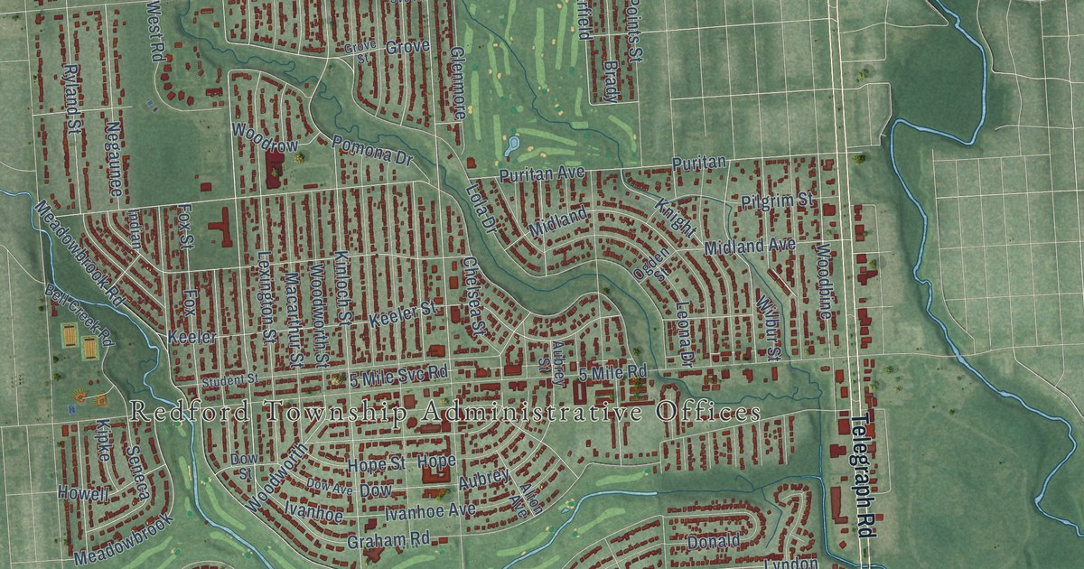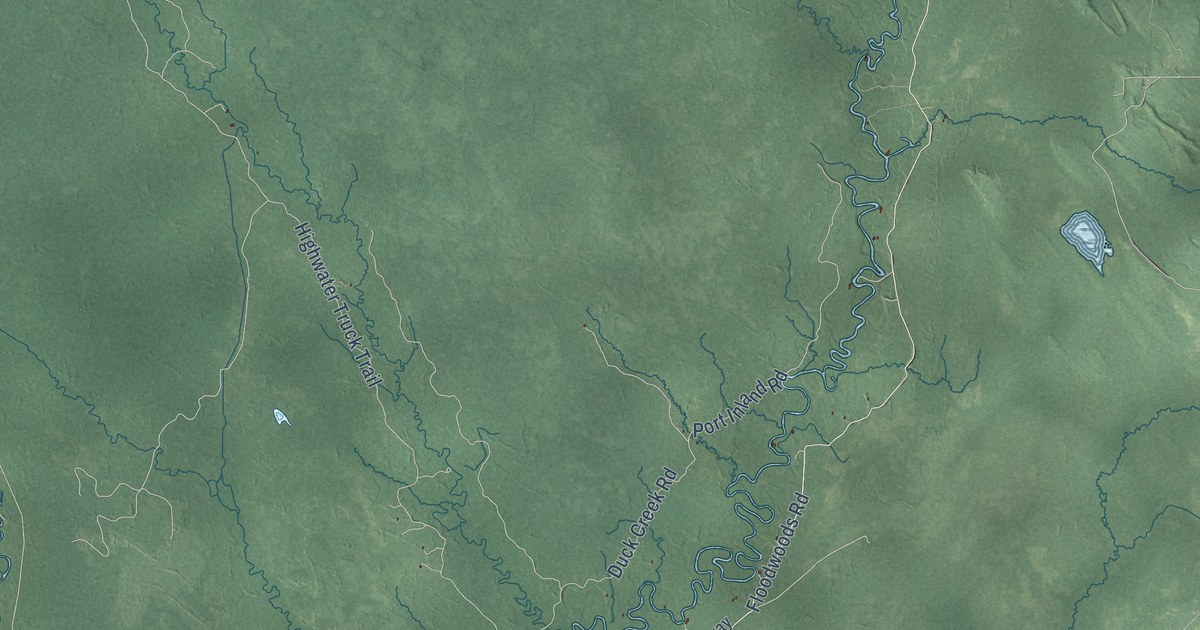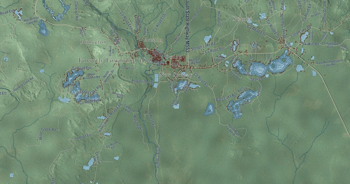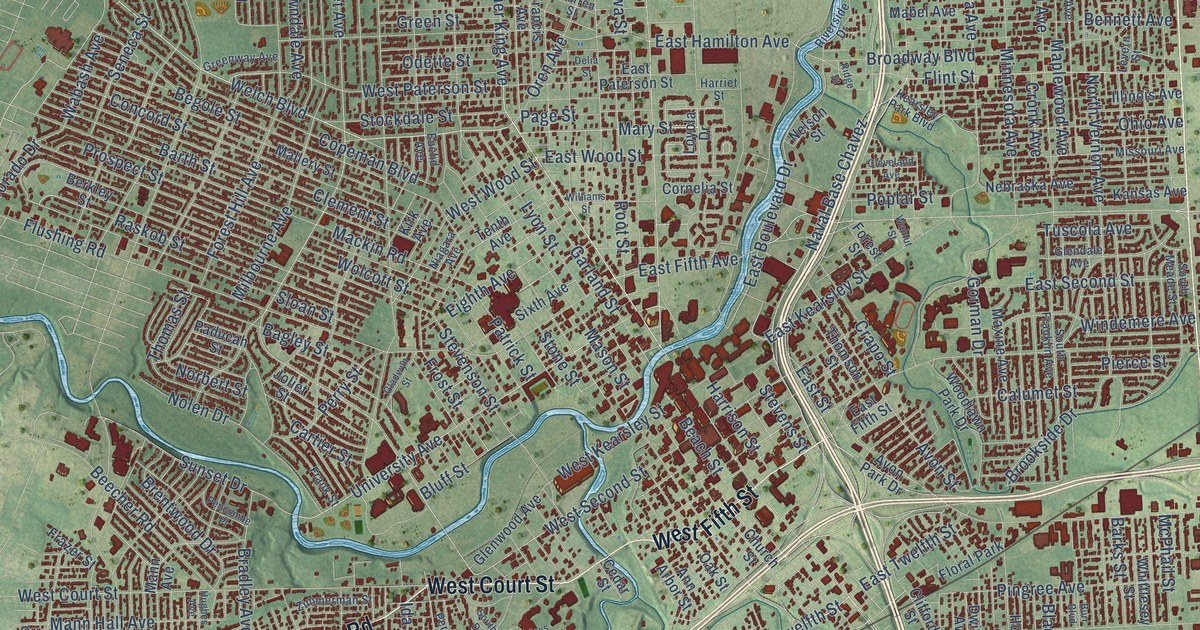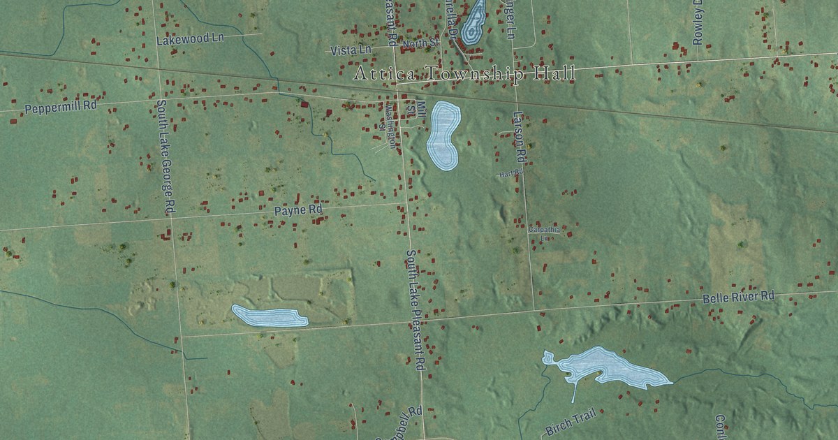
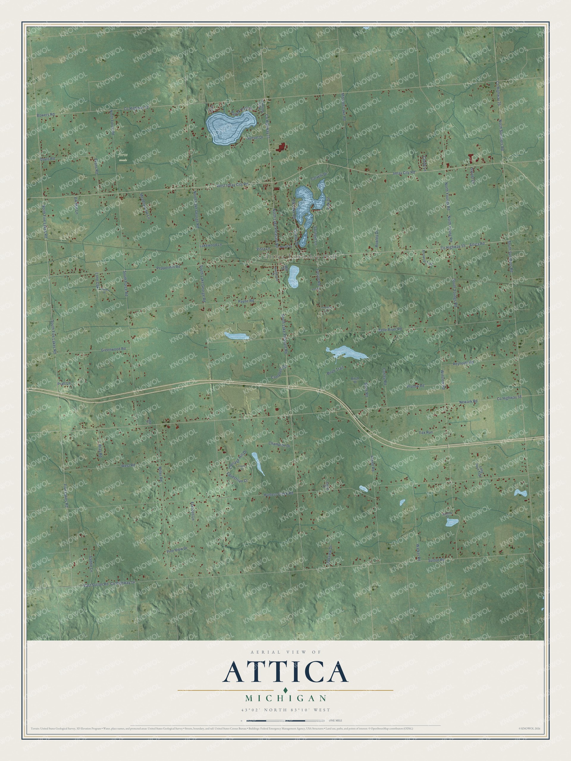
This beautifully detailed map of Attica, Michigan was created in 2026 using aerial imagery combined with modern topographical, census, street and landmark data. It's a modern aerial view of Attica in Lapeer County, Michigan, that combines modern data with a vintage aesthetic. The roads feature printed names, and if you look closely you can find your exact house accurately shown in its correct location.
Explore an aerial view of Attica, Michigan
On this map you'll find Attica Township Hall, force woods, Attica Road, Co Highway 55, North Summers Road, Co Highway 25, Imlay City Road, West Imlay City Road, South Summers Road, South Lake Pleasant Road, North Lake Pleasant Road, Sutton Road, and more. Each red shape is a building, so zoom in on the preview and look for yours.
Every town has a first chapter, and Attica is no exception. The History of Lapeer County puts it this way: "A good grist-mill also makes the village of Attica a desirable market and point of trade."
The Census Bureau counted 4,706 people here in 2020.
Take a closer look at the Attica map
Names on this map
These names are printed on this map.
Places: Attica Township Hall.
Streets and roads: Attica Road, County Highway 55, North Summers Road, County Highway 25, Imlay City Road, West Imlay City Road, South Summers Road, South Lake Pleasant Road, North Lake Pleasant Road, Sutton Road, County Highway 11, Springer Lane.
More street names, A to Z
Arrowtip Trail, Atwell Road, Belle River Road, Birch Drive, Birch Road, Birch Trail, Bowers Road, Bray Road, Calvelli Drive, Campbell Road, Candy Lane, Carpathia Lane, Carriage Hill Drive, Center Drive, Champion Drive, Conley Road, County Highway 14, County Highway 52, County Highway 58, Curella Drive, Davis Road, East Sutton Road, Elandell Lane, Elk Lake Road, Equestrian Court, Evans Road, Five Lakes Road, Fox Run, Garner Drive, Greenwood Road, Hart Road, Hunters Creek Road, Jason Court, Lake Street, Lakewood Lane, Larson Road, Link Drive, Lone Oak, Long Horn Trail, Meadowview Lane, Miller Road, Mill Street, Mitchell Lake Road, Newark Road, North Boshaw Drive, North Five Lakes Road, North Force Road, North Lake George Road, North Street, North Young Road, North Youngs Road, Oakview Drive, Pantek Park Drive, Payne Road, Peppermill Road, Pine View Drive, Pratt Lane, Prutow Road, Reynolds Road, Rowley Drive, Saddle Lane, Sickles Drive, South Five Lakes Road, South Force Road, South Lake George Road, South Youngs Road, Sunset Drive, Trophy Court, Vik Mar Lane, Vista Lane, Walker Road, Washington Street, West Road, Winslow Court, Winslow Road.
Created by KNOWOL in 2026. The buildings are small red shapes, the roads carry their printed names, and shaded relief shows the shape of the land. The title panel reads "AERIAL VIEW OF ATTICA, MICHIGAN" with 43°02' NORTH 83°10' WEST.
Hang it in the hallway, the office or the cabin, or give it to someone who left Attica and still calls it home. Open the preview and look for a street you know. See sizes and frames for the Attica map.