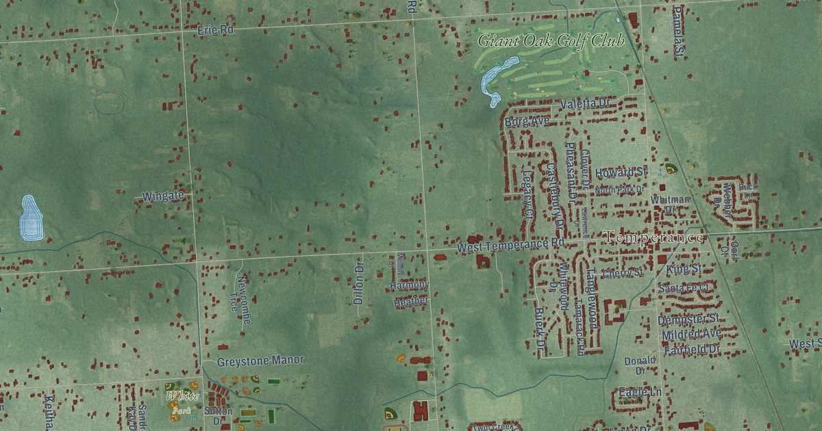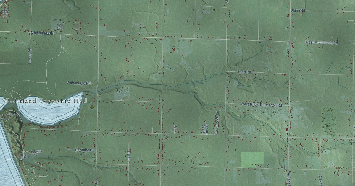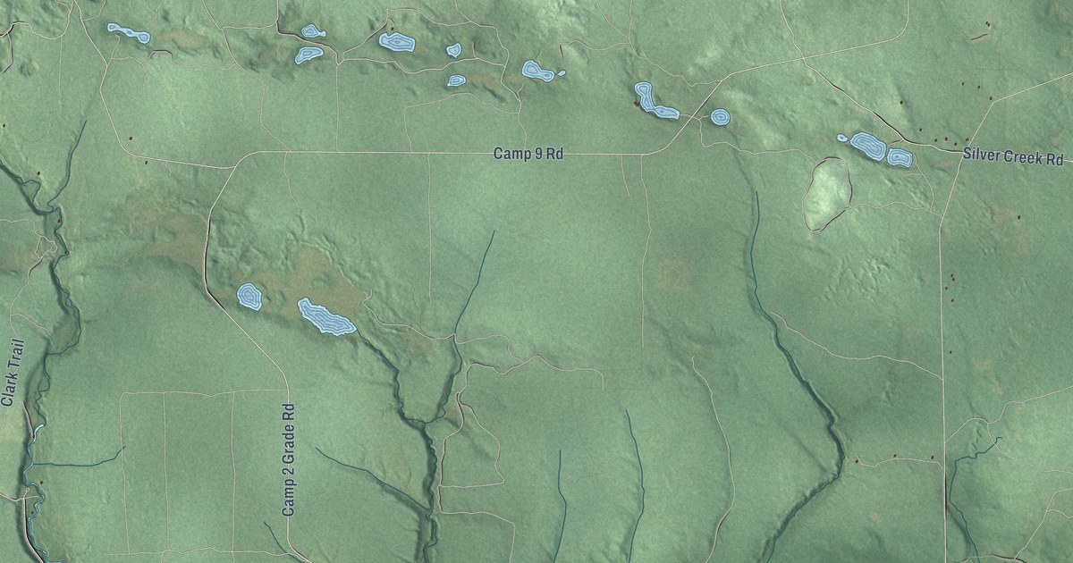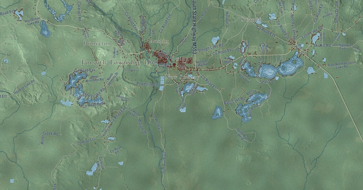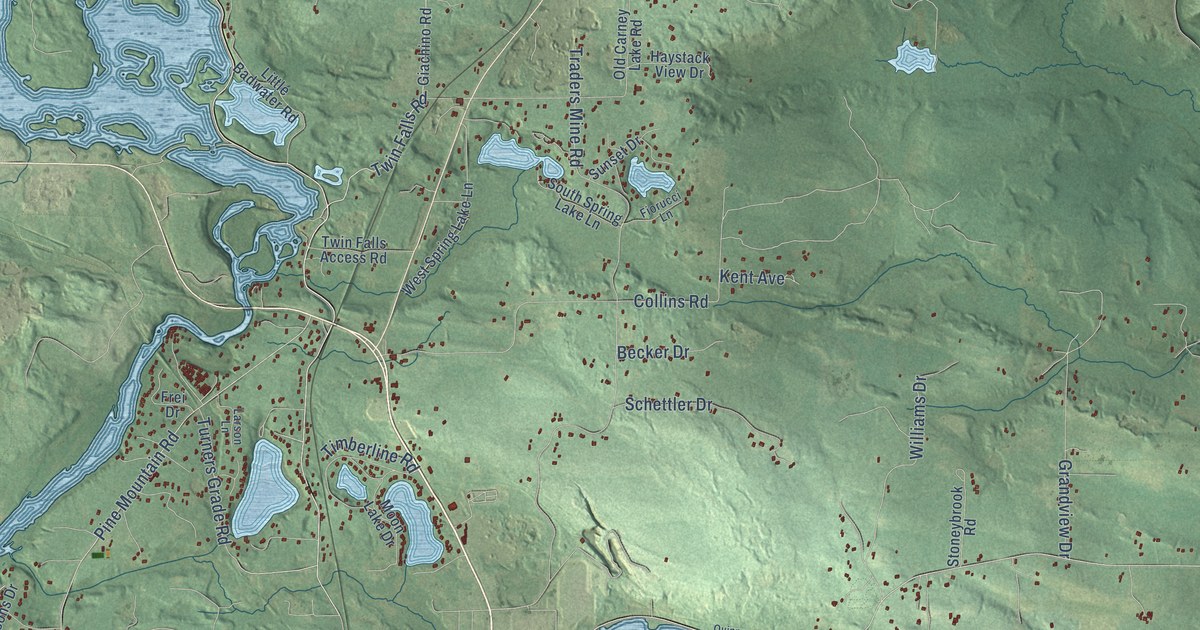
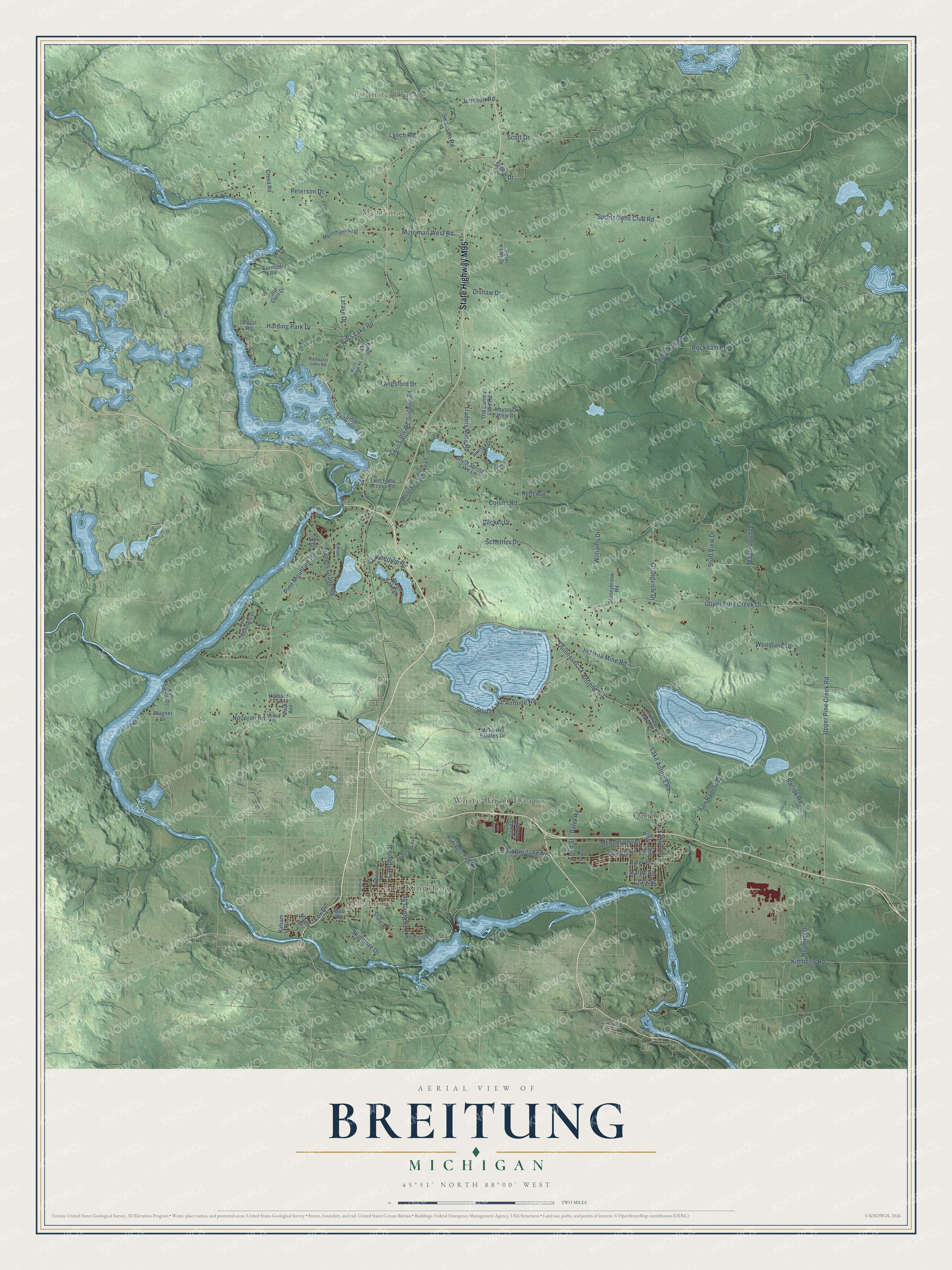
This beautifully detailed map of Breitung, Michigan was created in 2026 using aerial imagery combined with modern topographical, census, street and landmark data. It's a modern aerial view of Breitung in Dickinson County, Michigan, that combines modern data with a vintage aesthetic. The roads feature printed names, and if you look closely you can find your exact house accurately shown in its correct location.
Explore an aerial view of Breitung, Michigan
On this map you'll find Granite Bluff, Skidmore, Merriman, East Kingsford, Quinnesec, White Birch Estates, State Highway M95, Indiana Mine Road, South Lake Antoine Road, Sportsmens Club Road, Merriman West Road, Twin Falls Road, and more. Each red shape is a building, so zoom in on the preview and look for yours.
Every town has a first chapter, and Breitung is no exception. The record at arcgis.com puts it this way: "The first mining activity began in 1872 at the Breen Mine, where ore had been discovered in the 1860s by the Breen brothers, timber cruisers from Menominee."
The Census Bureau counted 5,831 people here in 2020.
Take a closer look at the Breitung map
Names on this map
These names are printed on this map.
Places: Granite Bluff, Skidmore, Merriman, East Kingsford, Quinnesec and White Birch Estates.
Streets and roads: State Highway M95, Indiana Mine Road, South Lake Antoine Road, Sportsmens Club Road, Merriman West Road, Twin Falls Road, Bass Lake Road, Upper Pine Creek Drive, Quinnesec Lk Antione Road, Forest Svc Road, Lake Antoine Road, Pine Mountain Road.
More street names, A to Z
Baciak Road, Badwater Lake Road, Baler Road, Balsam Street, Becker Drive, Beverly Street, Birch Lane, Birch Ridge Road, Bluff View Drive, Boll Road, Campbell Street, Clark Street, Cliff Street, Collins Road, Creed Road, Dawns Lake Road, Dishaw Drive, Duval Road, East Breitung Avenue, Elizabeth Street, Fiorucci Lane, Formetti Road, Four Seasons Drive, Fox Drive, Fox Ranch Road, Frei Drive, Fumee Lake Drive, Giachino Road, Grandview Drive, Harding Park Drive, Haystack View Drive, Hibbard Street, Hydraulic Falls Road, Joe Corn Drive, Johnson Road, Kent Avenue, Kimberly Road, Lafave Drive, Lake Avenue, Langsford Drive, Larson Lane, Lincoln Street, Little Badwater Road, Lynch Road, Maple Street, Maplewood Drive, Marpe Street, Menominee Avenue, Menominee Street, Merriman West, Millie Hill Estates Drive, Moon Lake Drive, Neumier Drive, Nocerini Road, Old Carney Lake Road, Park Avenue, Peter Bey Drive, Peterson Drive, Pine Street, Quinnesec-Lake Antoine Road, River Street, Rockdam Road, Schettler Drive, Scott Drive, Second Street, Shady Lane, Skidmore Drive, South Park Avenue, South Spring Lake Lane, State Street, Steele Drive, Stoneybrook Road, Sunset Drive, Swanson Road, Third Street, Timberline Road, Traders Mine Road, Turners Grade Road, Twin Falls Access Road, Upper Pine Creek Road, Van Buren Street, Van Sickle Drive, Wagner Drive, West Spring Lake Lane, Williams Drive, Woodbine Street, Woodland Drive.
Created by KNOWOL in 2026. The buildings are small red shapes, the roads carry their printed names, and shaded relief shows the shape of the land. The title panel reads "AERIAL VIEW OF BREITUNG, MICHIGAN" with 45°51' NORTH 88°00' WEST.
Hang it in the hallway, the office or the cabin, or give it to someone who left Breitung and still calls it home. Open the preview and look for a street you know. See sizes and frames for the Breitung map.