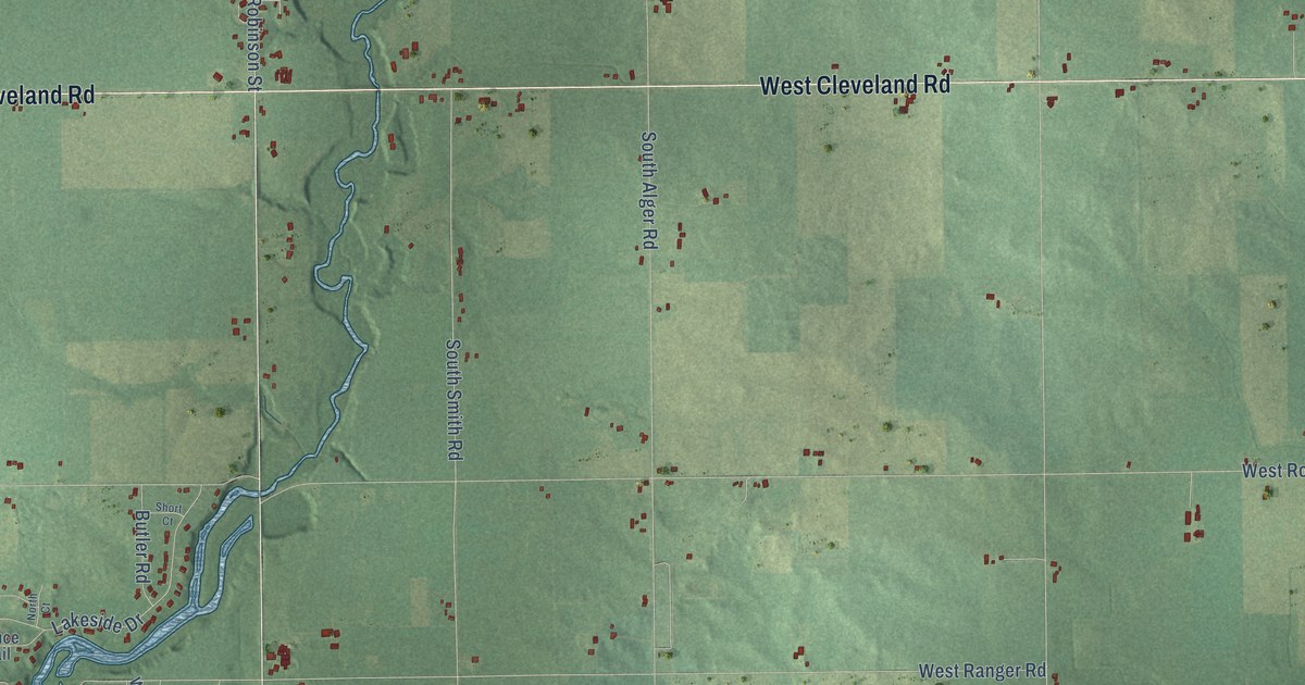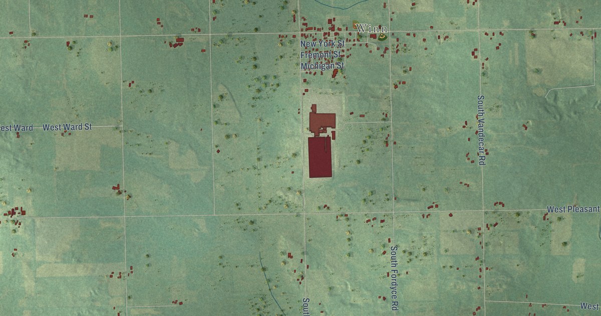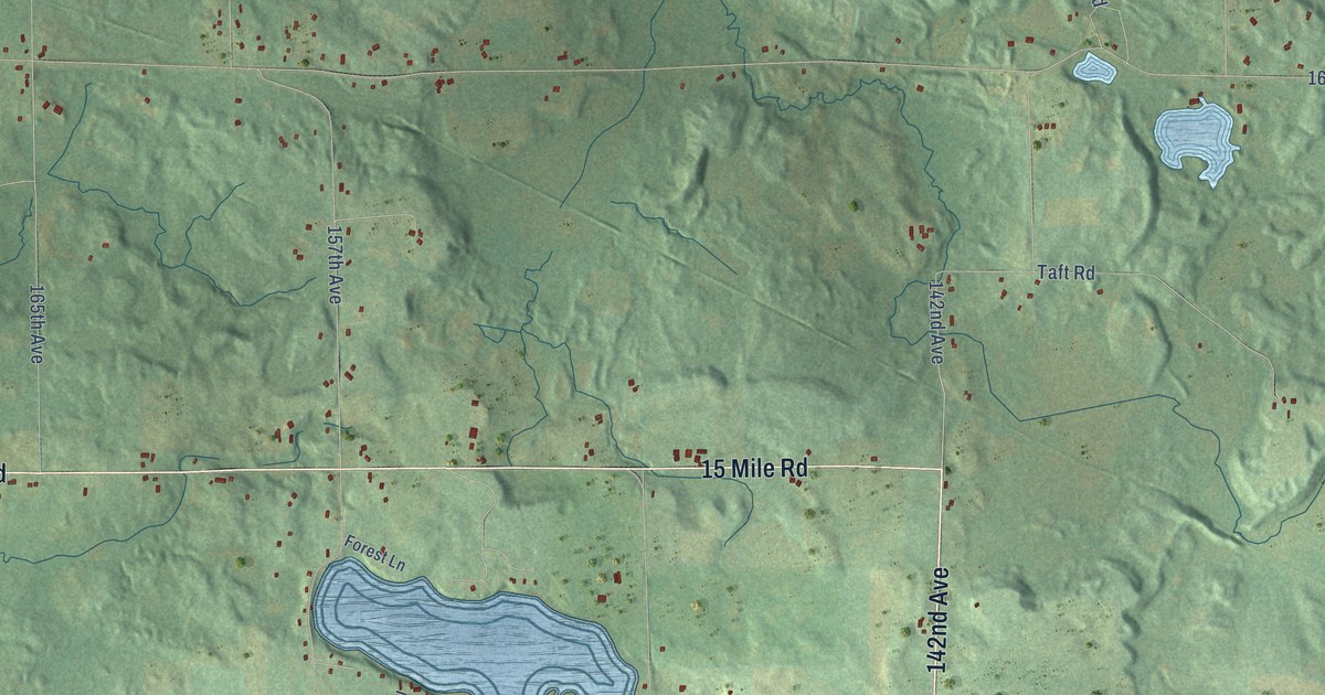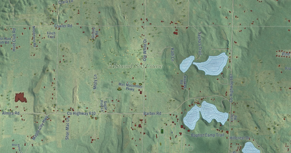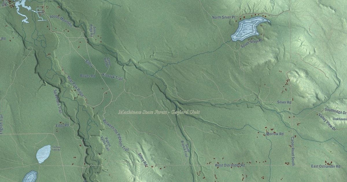
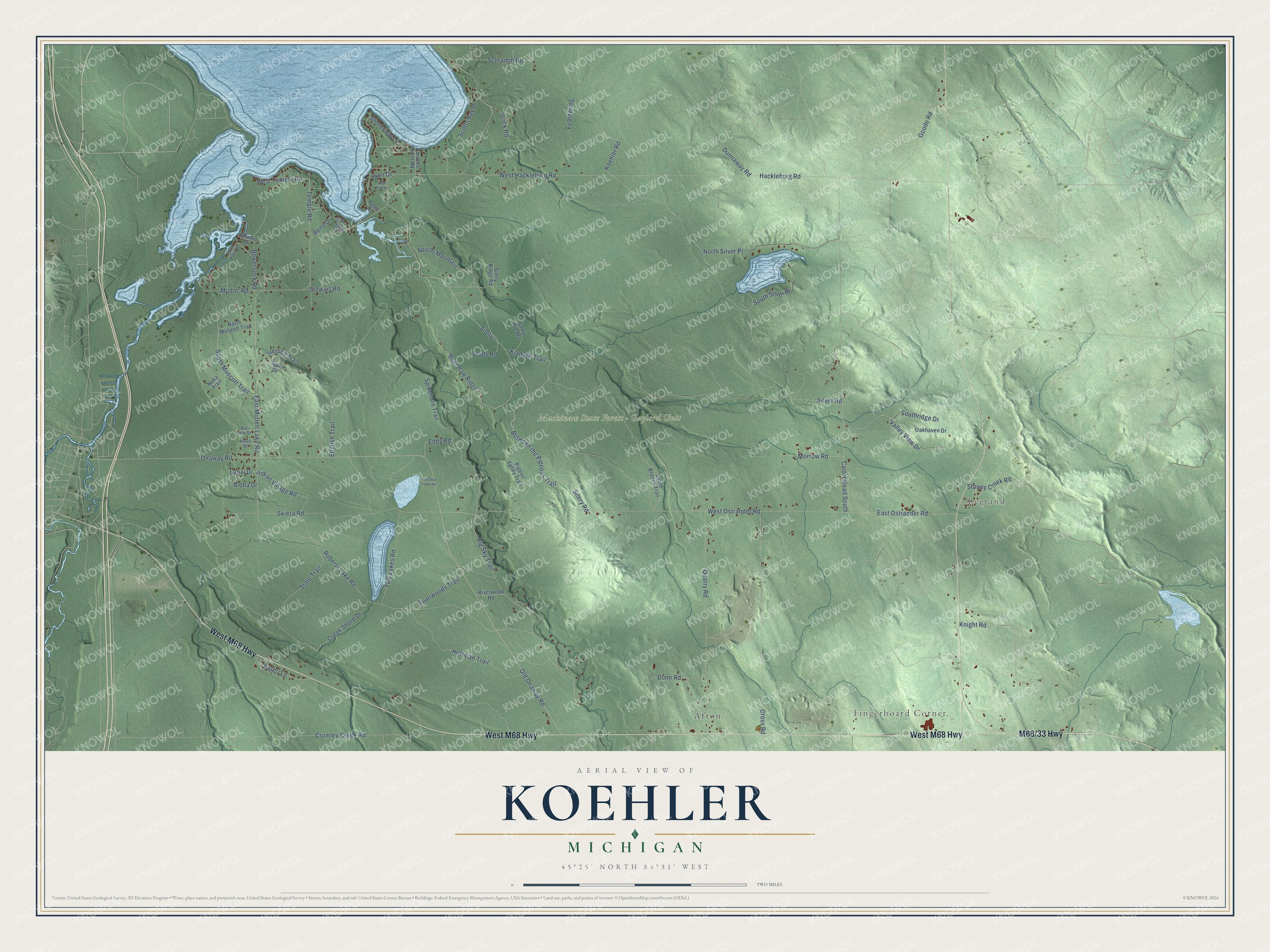
This beautifully detailed map of Koehler, Michigan was created in 2026 using aerial imagery combined with modern topographical, census, street and landmark data. It's a modern aerial view of Koehler in Cheboygan County, Michigan, that combines modern data with a vintage aesthetic. The roads feature printed names, and if you look closely you can find your exact house accurately shown in its correct location.
Explore an aerial view of Koehler, Michigan
On this map you'll find Fingerboard Corner, Legrand, Mackinaw State Forest – Gaylord Unit, Afton, West M68 Highway, M68/33 Highway, Between the Pigeons Trail, Silery Road, Bear Paw Ridge, Silery, Cross Road, Old Onaway Road, and more. Each red shape is a building, so zoom in on the preview and look for yours.
The Census Bureau counted 1,193 people here in 2020. The map prints the town name in its title panel, with the coordinates below it.
Take a closer look at the Koehler map
Names on this map
These names are printed on this map.
Places: Fingerboard Corner, Legrand, Mackinaw State Forest - Gaylord Unit and Afton.
Streets and roads: West M68 Highway, Between the Pigeons Trail, Silery Road, Bear Paw Ridge, Silery, Cross Road, Old Onaway Road, West Ostrander Road, East Mullett Lake Road, Onaway Road, Silver Road, Carter Road South.
More street names, A to Z
Aloha Drive, Apollo Mountain, Bali Hai Drive, Beatty Drive, Big Sky Trail, Bowersock Road, Boyds Road, Cedar Breaks, Cochran Lake Road, Creek Shore Drive, Crumley Creek Road, Darcy Lane, Dunnaway Road, Dunn Road, East Ostrander Road, Eddy Road, English Trail, Feathering, Goode Road, Hackleburg Road, Hoffman Trail, Indian Village Road, Inland Route Drive, Iverson Trail, Kalua Drive, Kateri Lane, Kiadzyk Trail, Knight Road, Koehler Road, Lanai Drive, Lynn Drive, Modoc Road, Morrow Road, Noka Trail, North Muscott Trail, North Silver Place, Oakhaven Drive, Parrotts Point Road, Pigeon Bay Drive, Pigeon Valley Trail, Quarry Road, Rams Road, Red Pine Drive, Reno Drive, Riverwood Road, Riverwoods Trail, Roberts Lake Road, Schramm Road, Scotts Bay Drive, Shoreview Lane, Silery Ridge Road, Skiera Road, South Branch Trail, South Muscott Trail, Southridge Drive, South Silver Place, Spikehorn Trail, Spirit Drive, State Trail, Stewart Road, Stoney Creek Road, Temple Road, Two Lakes Road, Urick Road, Valley View Drive, West Hackleburg Road, West Temple Road.
Created by KNOWOL in 2026. The buildings are small red shapes, the roads carry their printed names, and shaded relief shows the shape of the land. The title panel reads "AERIAL VIEW OF KOEHLER, MICHIGAN" with 45°25' NORTH 84°31' WEST.
It looks right in a kitchen, an office or a den, and it's a gift for anyone who grew up in Koehler or moved away. Open the preview and find your street. See sizes and frames for the Koehler map.