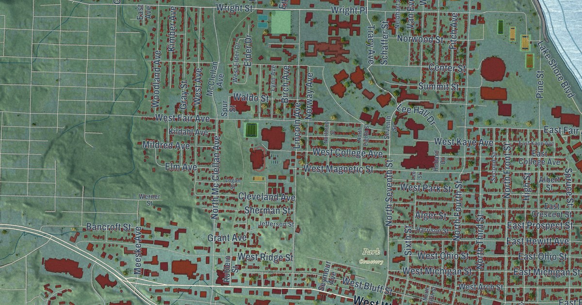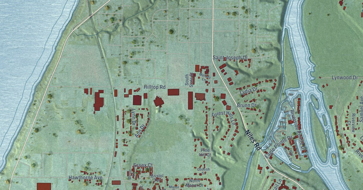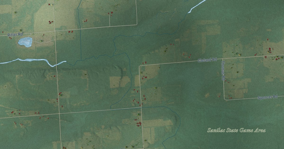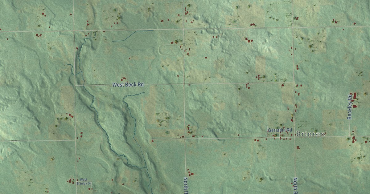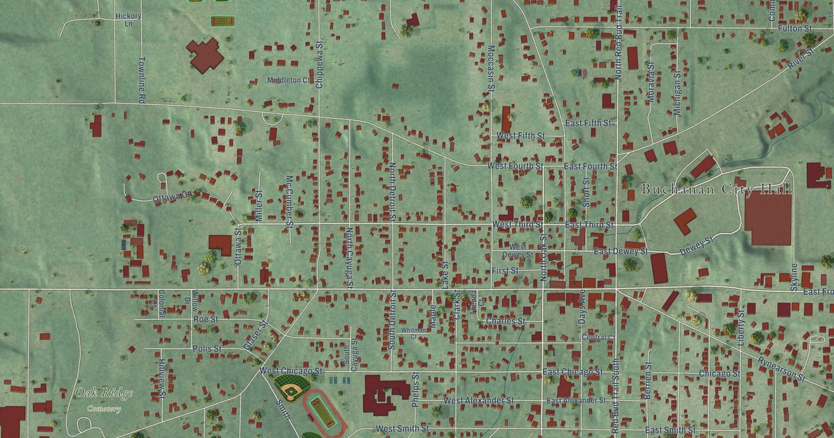
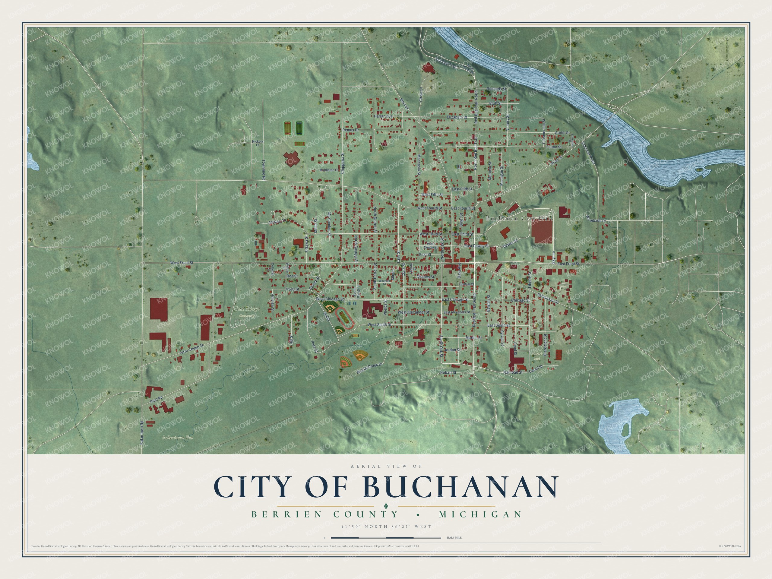
This beautifully detailed map of Buchanan, Michigan was created in 2026 using aerial imagery combined with modern topographical, census, street and landmark data. It's a modern aerial view of Buchanan in Berrien County, Michigan, that combines modern data with a vintage aesthetic. The roads feature printed names, and if you look closely you can find your exact house accurately shown in its correct location.
Explore an aerial view of Buchanan, Michigan
On this map you'll find Buchanan City Hall, Bakertown Fen, Oak Ridge Cemetery, Smith Park, East Front Street, South Oak Street, Railroad Street, North Oak Street, Dewey Street, East Dewey Street, West Front Street, East Third Street, and more. Each red shape is a building, so zoom in on the preview and look for yours.
Here is a piece of Buchanan history, in the words of the record. The Twentieth Century History of Berrien County puts it this way: "John Hamilton, a millwright by trade, came from Virginia, in 1837, to Niles and in 1839 moved to Buchanan and in partnership with Andrew C. Day built the grist mill, already referred to. Mr. Hamilton laid out the first village plat in 1842."
Buchanan is a city in Berrien County. The Census Bureau counted 4,300 people here in 2020.
Take a closer look at the Buchanan map
Names on this map
These names are printed on this map.
Places: Buchanan City Hall, Bakertown Fen, Oak Ridge Cemetery and Smith Park.
Streets and roads: East Front Street, South Oak Street, Railroad Street, North Oak Street, Dewey Street, East Dewey Street, West Front Street, East Third Street, West Third Street, Red Bud Trail South, Smith, West Chicago Street.
More street names, A to Z
Arctic Street, Bakertown Road, Berrien Street, Bluff Street, Caroll Street, Cecil Street, Central Court, Charles Street, Chicago Street, Chippewa Street, Circle Drive, Claremont Street, Clark Street, Colonial Court, Commercial Street, Days Avenue, East Alexander Street, East Chicago Street, East Fifth Street, East Fourth Street, East Smith Street, Elizabeth Street, Enterprise Street, First Street, Fulton Street, Glaser Street, Harlan Avenue, Hickory Lane, Hill Street, Hillview Street, Hobart Street, Jordan Street, Lake Street, Liberty Street, Main Street, Maple, Marble Street, McCoy Creek Drive, Mc Cumber Street, Michigan Street, Middleton Court, Miller Street, Moccasin Street, Moravia Street, North Cayuga Street, North Detroit Street, North Red Bud Trail, Ottawa Court, Ottawa Street, Park Court, Phelps Street, Polis Street, Post Road, Red Bud Trail, Red Bud Trail North, Remus Drive, Richards Street, River Front Drive, River Street, Roe Street, Rynearson Street, Schirmer Parkway, Short Street, Skyline, South Cayuga Street, South Detroit Street, Sylvan Street, Terre Coupe Street, Theoda Court, Townline Road, Victory Street, West Alexander Street, West Dewey Street, West Fifth Street, West Fourth Street, West Smith Street, Whitman Court, Willow Drive, Woodside Drive.
Created by KNOWOL in 2026. The buildings are small red shapes, the roads carry their printed names, and shaded relief shows the shape of the land. The title panel reads "AERIAL VIEW OF CITY OF BUCHANAN, BERRIEN COUNTY • MICHIGAN" with 41°50' NORTH 86°21' WEST.
It suits a den, a classroom or a front hall, and it makes a gift for anyone with Buchanan roots. Open the preview and find the block you know. See sizes and frames for the Buchanan map.