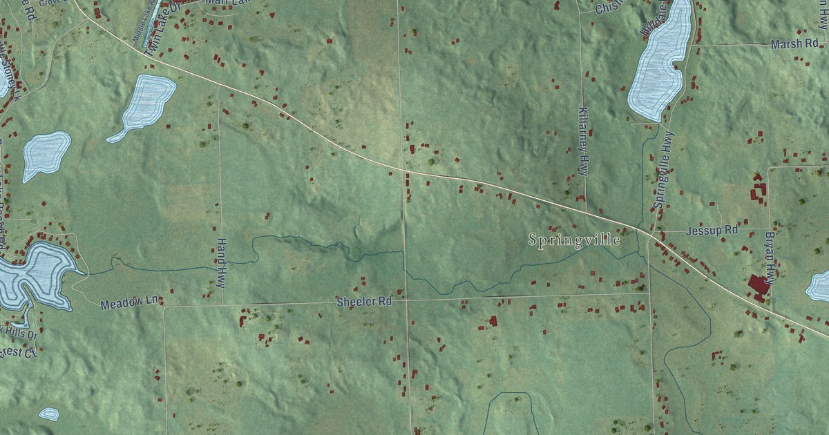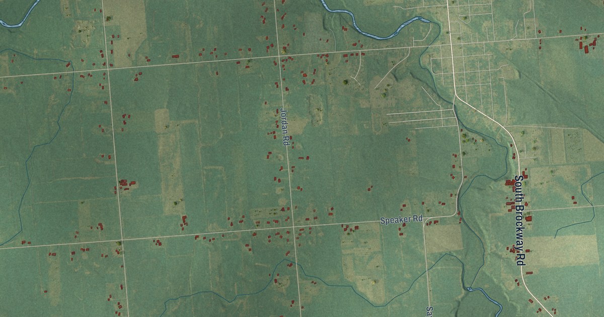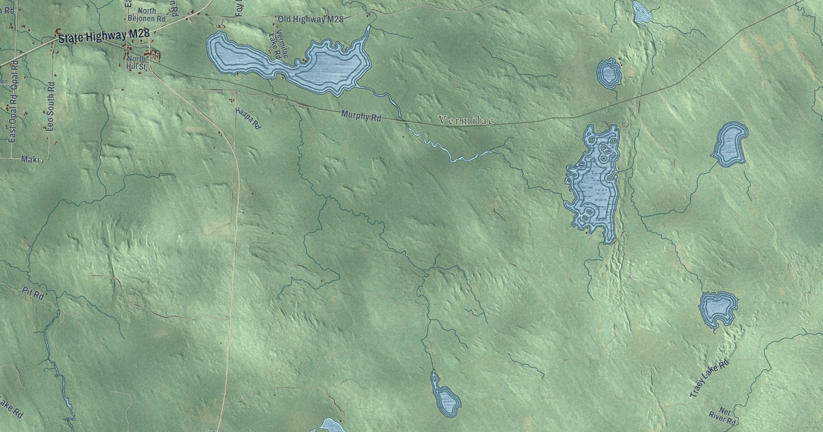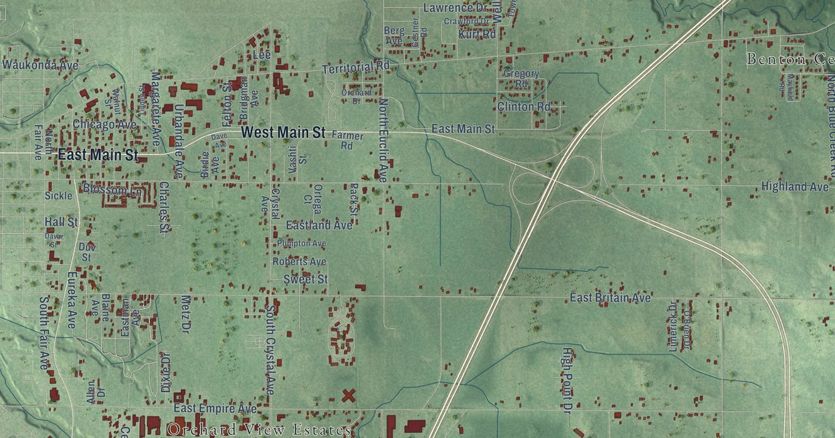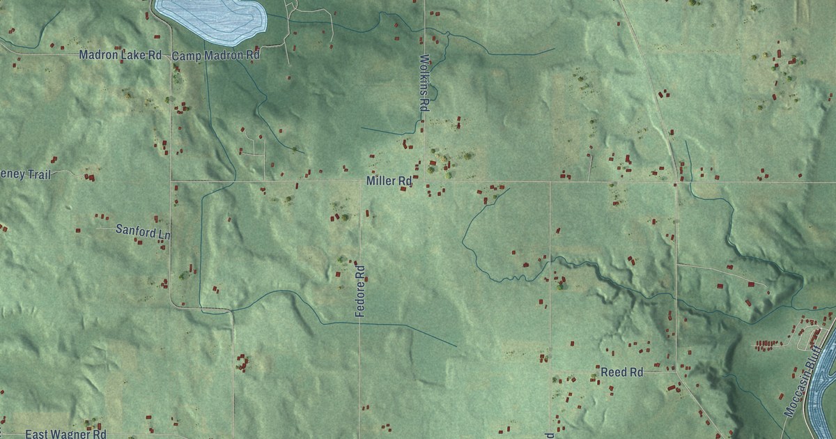
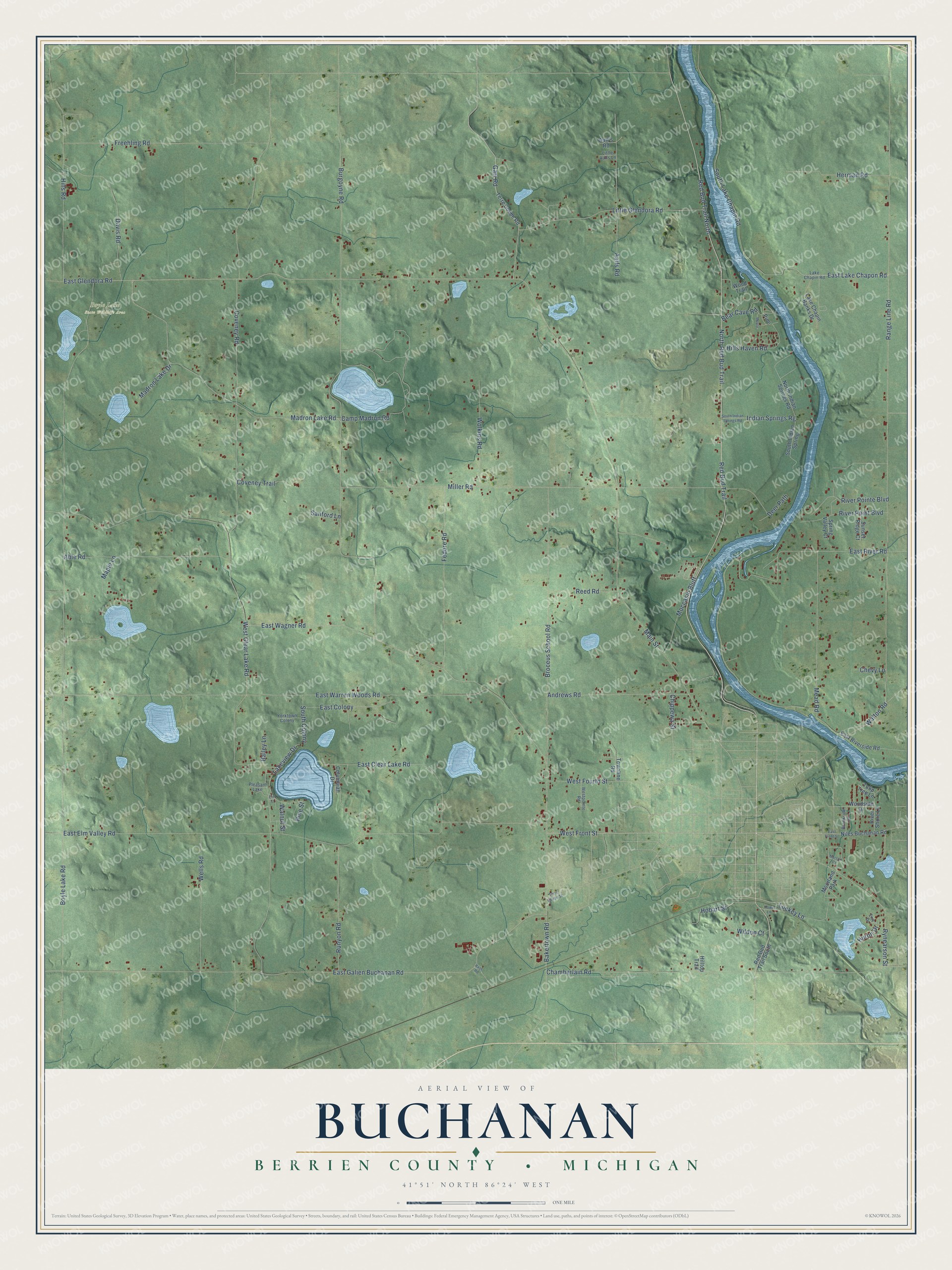
This beautifully detailed map of Buchanan, Michigan was created in 2026 using aerial imagery combined with modern topographical, census, street and landmark data. It's a modern aerial view of Buchanan in Berrien County, Michigan, that combines modern data with a vintage aesthetic. The roads feature printed names, and if you look closely you can find your exact house accurately shown in its correct location.
Explore an aerial view of Buchanan, Michigan
On this map you'll find Boyle Lake State Wildlife Area, North Red Bud Trail, Red Bud Trail North, West Front Street, East Glendora Road, Garr Road, East Lake Chapon Road, Madron Lake Road, Boyle Lake Road, Red Bud Trail, Range Line Road, Main Street, and more. Each red shape is a building, so zoom in on the preview and look for yours.
Here is a piece of Buchanan history, in the words of the record. The Twentieth Century History of Berrien County puts it this way: "Peter Critchett, a native of Pennsylvania, settled in Buchanan township in 1836."
The Census Bureau counted 3,436 people here in 2020.
Take a closer look at the Buchanan map
Names on this map
These names are printed on this map.
Places: Boyle Lake State Wildlife Area, Moorland Park and Pleasant Lake.
Streets and roads: North Red Bud Trail, Red Bud Trail North, West Front Street, East Glendora Road, Garr Road, East Lake Chapon Road, Madron Lake Road, Boyle Lake Road, Red Bud Trail, Range Line Road, Main Street, East Elm Valley Road.
More street names, A to Z
Aalf's Road, Aalfs Road, Able Road, Andrews Road, Bailey Lane, Bakertown Road, Bear Cave Road, Broceus School Road, Brookside Drive, Burgoyne Road, Camp Madron Road, Chamberlain Road, Chevy Lane, Chippewa Street, Columbian Drive, Coveney Road, Coveney Trail, Davis Road, Deer Path, East Clear Lake Road, East Colony, East Front Street, East Galien Buchanan Road, East River Road, East Riverside Road, East Wagner Road, East Warren Woods Road, Elm Street, Erie Drive, Fedore Road, Freehling Road, Hass Road, Herman Road, Hills Haven Road, Hills Road, Hilltop Trail, Hobart Street, Howe Lane, Huron Drive, Indian Springs Rg, Lake Chapin Banks Drive, Lake Chapin Road, Lakeview Drive, Little Aalfs Lane, Little Glendora Road, Lockey Lane, Madron Lake Drive, Maple, Maple Lane, Mead Road, Merson Court, Miller Road, Moccasin Bluff, Niles Buchanan Road, North Indian Springs Road, Pine, Pine Street, Red Bud Trail South, Reed Road, River Point Boulevard, River Pointe Boulevard, River Shore Lane, Runyon Road, Rynearson Street, Sanford Lane, South Colony, South Indian Spring, South Indian Springs Road, South Lake Chapin Road, Spring Valley Court, Sunset Ridge Court, Terre Coupe Road, Terre Coupe Street, Townline Road, Tulip Tree Lane, Walnut Street, Walton Road, Wells Road, West Clear Lake Road, West Fourth Street, Westpointe Road, Wildon Court, Wolkins Road, Woodside Drive, Wood Trail, Yorktown Colony.
Created by KNOWOL in 2026. The buildings are small red shapes, the roads carry their printed names, and shaded relief shows the shape of the land. The title panel reads "AERIAL VIEW OF BUCHANAN, BERRIEN COUNTY • MICHIGAN" with 41°51' NORTH 86°24' WEST.
It suits a den, a classroom or a front hall, and it makes a gift for anyone with Buchanan roots. Open the preview and find the block you know. See sizes and frames for the Buchanan, Berrien County map.