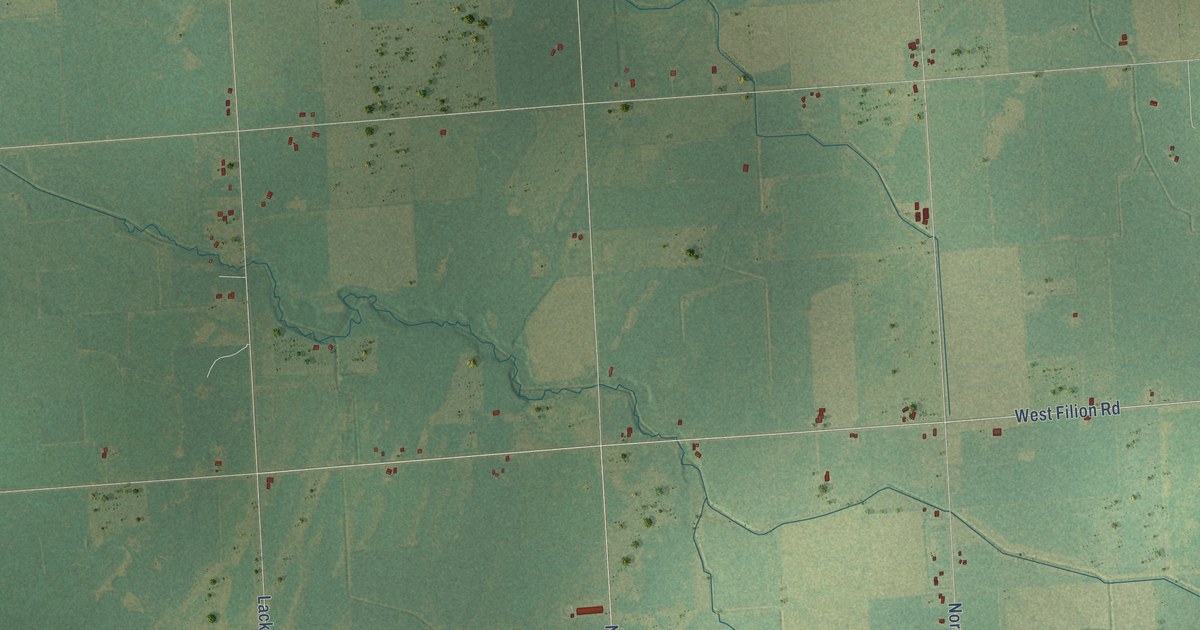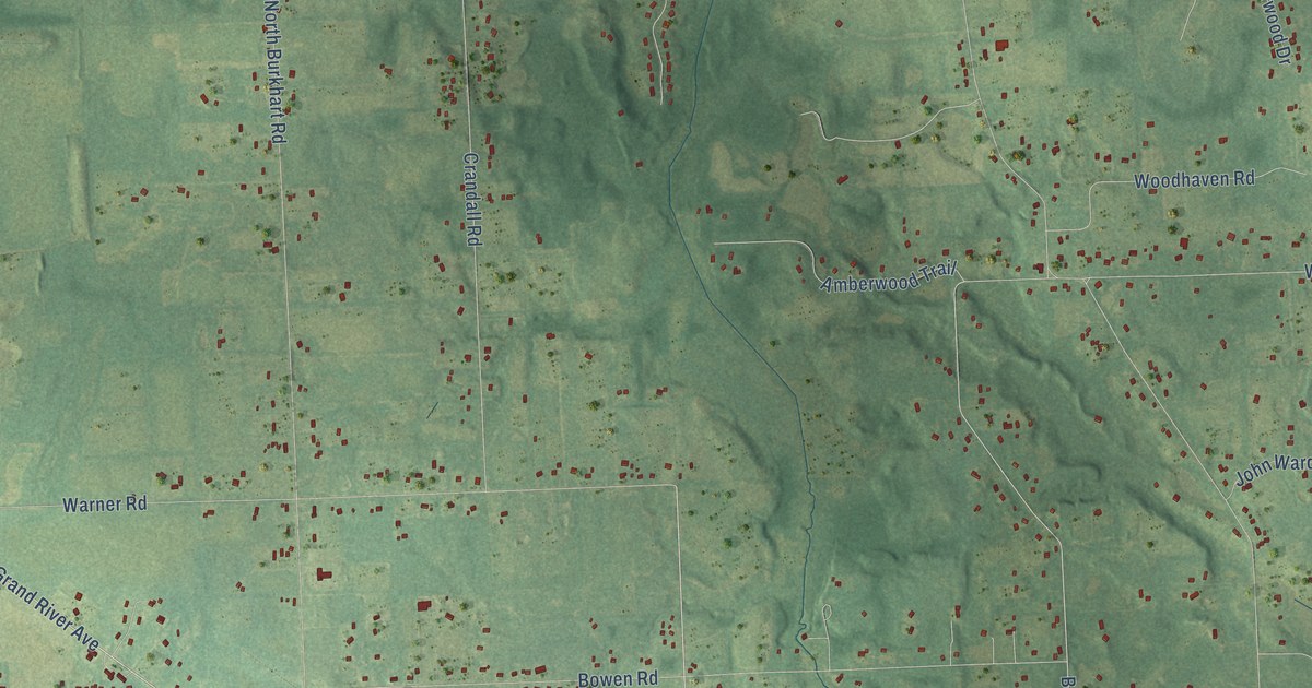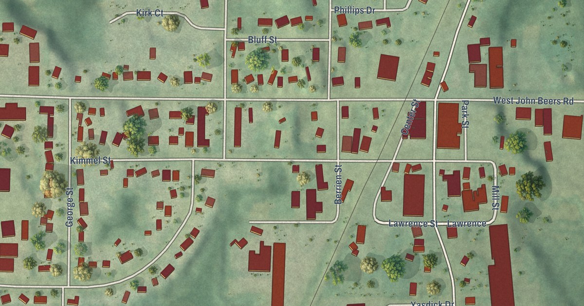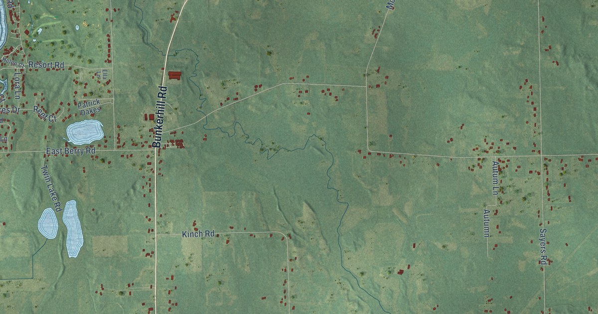
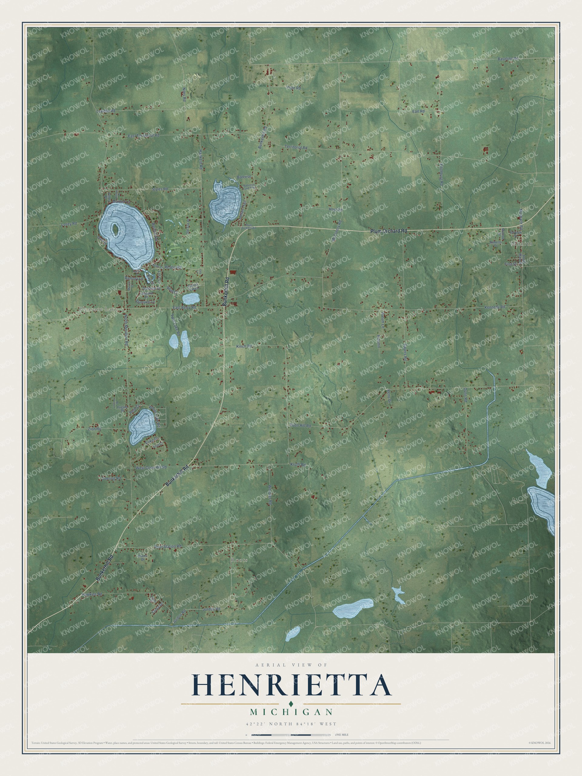
This beautifully detailed map of Henrietta, Michigan was created in 2026 using aerial imagery combined with modern topographical, census, street and landmark data. It's a modern aerial view of Henrietta in Jackson County, Michigan, that combines modern data with a vintage aesthetic. The roads feature printed names, and if you look closely you can find your exact house accurately shown in its correct location.
Explore an aerial view of Henrietta, Michigan
On this map you'll find Roots, Pleasant Lake, Munith, Plum Orchard Road, Bunkerhill Road, Indian Trail, Jordan Road, Coon Hill Road, North Meridian Road, Kennedy Road, Baseline Road, Territorial Road, and more. Each red shape is a building, so zoom in on the preview and look for yours.
Henrietta has a story worth telling. The History of Jackson County puts it this way: "The name of the town was changed through the influence of Henry Hurd, Esq., in 1839, and named Henrietta, after his native place in New York. The Episcopal Church of Henrietta was organized April 28, 1879, under Rev. Mr. Johnson."
The Census Bureau counted 4,673 people here in 2020.
Take a closer look at the Henrietta map
Names on this map
These names are printed on this map.
Places: Roots, Pleasant Lake and Munith.
Streets and roads: Plum Orchard Road, Bunkerhill Road, Indian Trail, Jordan Road, Coon Hill Road, North Meridian Road, Kennedy Road, Baseline Road, Territorial Road, McCreery Road, East Territorial Road, Hankerd Road.
More street names, A to Z
Autum Lane, Autumn, Bartlett Road, Bateese, Batteese Lake Trail, Bay Court, Crest Drive, Doering Road, Dolores Drive, Dunfee Drive, Dunn Road, Earl Road, East Berry Road, Ella Lane, Erika Drive, Erin Court, First Street, Fitchburg Road, Fugate Drive, Hawkins Road, Helen Court, Hoyt Road, Jordon Road, Kinch Road, Krofft Road, Laredo Drive, Leeward Drive, Lora Lane, Losey Road, Lowden Road, Maiden Lane, Mc Intosh Lane, Mizzen Lane, Monroe Street, Musbach Road, Nims Road, Nurmi Drive, Old Silo Drive, Patrick Oakes, Pope Road, Ramsey Lane, Reef Court, Reid Court, Reno Drive, Resort Road, Roberts Drive, Root Station Road, Sayers Road, Seventh Street, South Main Street, Spinnaker Lane, Styles Road, Twin Lake Road, Valley Drive, West Coon Hill Road, White Lake Road, Whitney Drive, Wooster Road, Yuma Drive, Zion Road.
Created by KNOWOL in 2026. The buildings are small red shapes, the roads carry their printed names, and shaded relief shows the shape of the land. The title panel reads "AERIAL VIEW OF HENRIETTA, MICHIGAN" with 42°22' NORTH 84°18' WEST.
It looks right in a kitchen, an office or a den, and it's a gift for anyone who grew up in Henrietta or moved away. Open the preview and find your street. See sizes and frames for the Henrietta map.