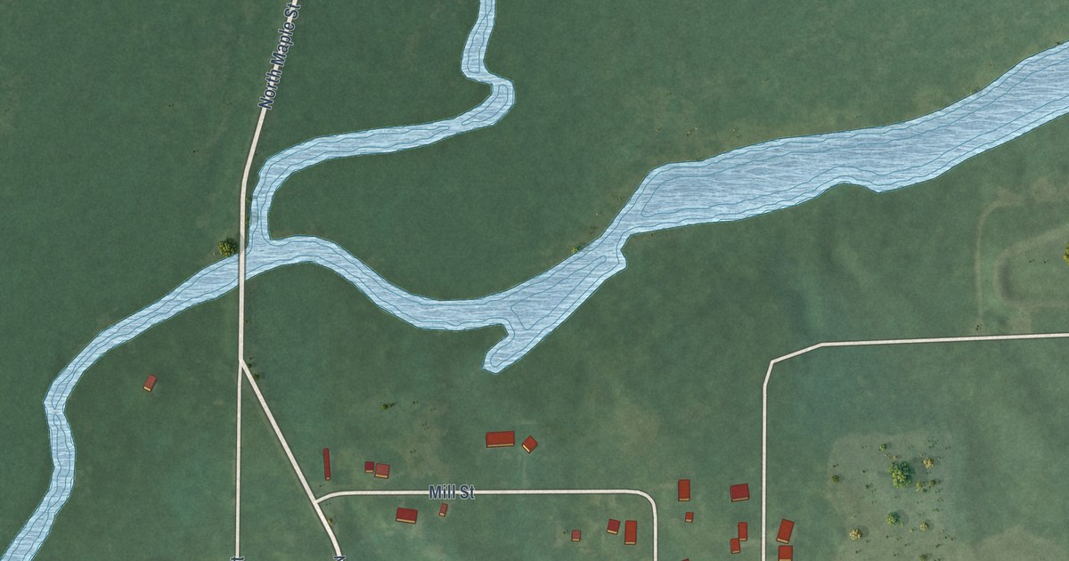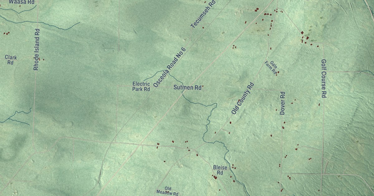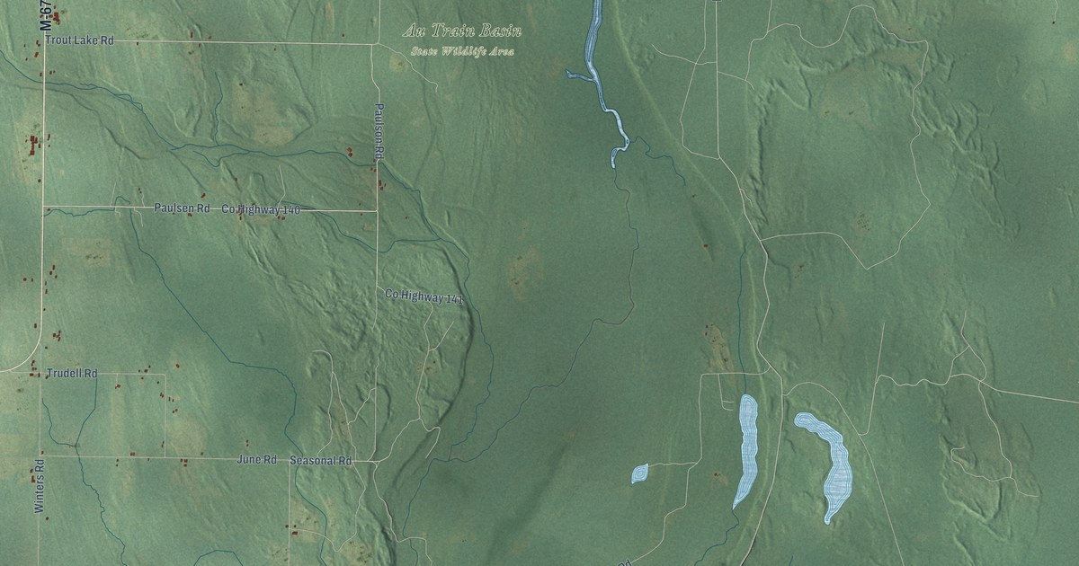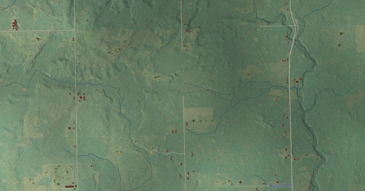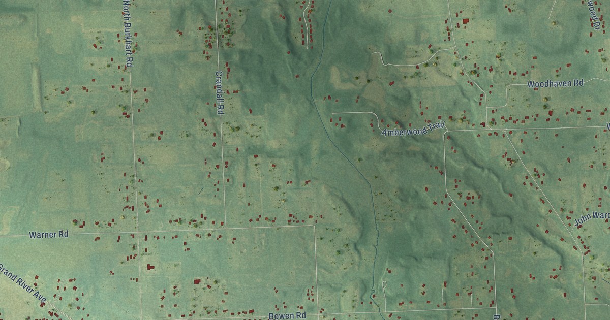
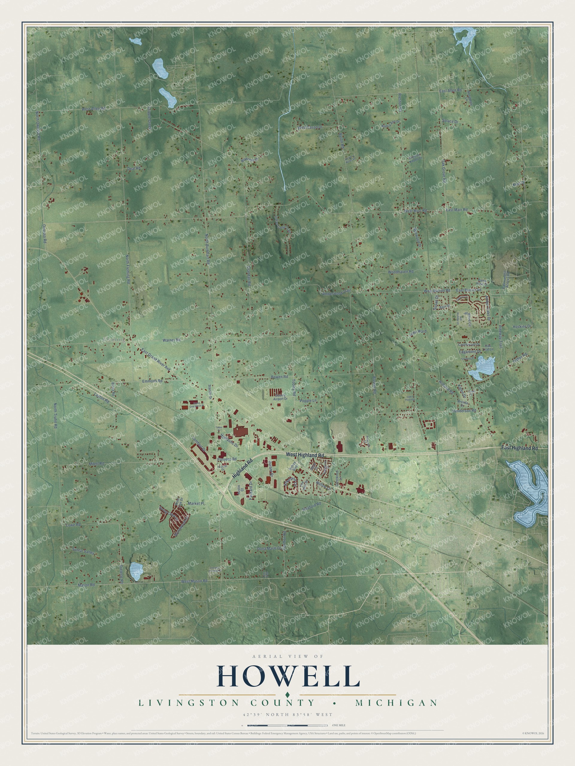
This beautifully detailed map of Howell, Michigan was created in 2026 using aerial imagery combined with modern topographical, census, street and landmark data. It's a modern aerial view of Howell in Livingston County, Michigan, that combines modern data with a vintage aesthetic. The roads feature printed names, and if you look closely you can find your exact house accurately shown in its correct location.
Explore an aerial view of Howell, Michigan
On this map you'll find Fleming, West Highland Road, Highland Road, East Highland Road, East Grand River Avenue, Owosso Road, Tooley Road, West Marr Road, Brewer Road, Mason Road, North Burkhart Road, Byron Road, and more. Each red shape is a building, so zoom in on the preview and look for yours.
Here is a piece of Howell history, in the words of the record. The Livingston County History puts it this way: "Wright built the first planing-mill in Howell village in 1869, commencing business on the first of August in that year."
The Census Bureau counted 7,893 people here in 2020.
Take a closer look at the Howell map
Names on this map
These names are printed on this map.
Places: Fleming.
Streets and roads: West Highland Road, Highland Road, East Highland Road, East Grand River Avenue, Owosso Road, Tooley Road, West Marr Road, Brewer Road, Mason Road, North Burkhart Road, Byron Road, Oak Grove Road.
More street names, A to Z
Amber Oaks Drive, Amberwood Trail, Annabette Lane, Armond Road, Austin Court, Bain Drive, Bowen Road, Brenda Drive, Burke Road, Castlewood Drive, Chestnut Crossing Drive, Cimarron Drive, Cindy Drive, County Airport Drive, Crandall Road, Crestwood Lane, Cripple Creek, Dama View Court, Deal Road, Deer Ridge, Dieterle Road, Dona Marie Drive, Dufree Boulevard, Durant Drive, East Allen Road, East Barron Road, East Landfill Access Road, East Marr Road, Edgebrook Drive, Edgemont Drive, Emmons Road, Fisher Road, Fordney Place, Fox Hills Drive, God's Peace Drive, Grand Commerce Drive, Harmon Road, Henderson Road, Hickory Acres Drive, Hill Hollow Lane, Hoskins Drive, Hydraulic Drive, Indian Camp Trail, Ivy Wood Circle, John Ward, Karen Drive, Keel Drive, Kneeland Circle, Lambert Drive, Layton Road, Lowe Road, Market Place, Marwood Drive, Milett Road, Nancy Ann Drive, North Fleming Road, North Owosso Road, North Truhn Road, Oak Leaf Lane, Packard Drive, Parsons Road, Pinecroft Lane, Pineway Trail, Popple Lane, Preston Knolls Drive, Preston Road, River Line Drive, Riverton Drive, Shire Court, Sleaford Road, Solace Drive, Spring Creek Drive, Starlite Drive, Suntar Valley, Susan Drive, Tower Drive, Tractor Drive, Warner Road, West Allen Road, West Barron Road, West Eason Drive, West Mason Road, Willow Lane, Woodhaven Road, Wynnwood Drive.
Created by KNOWOL in 2026. The buildings are small red shapes, the roads carry their printed names, and shaded relief shows the shape of the land. The title panel reads "AERIAL VIEW OF HOWELL, LIVINGSTON COUNTY • MICHIGAN" with 42°39' NORTH 83°58' WEST.
It suits a den, a classroom or a front hall, and it makes a gift for anyone with Howell roots. Open the preview and find the block you know. See sizes and frames for the Howell, Livingston County map.