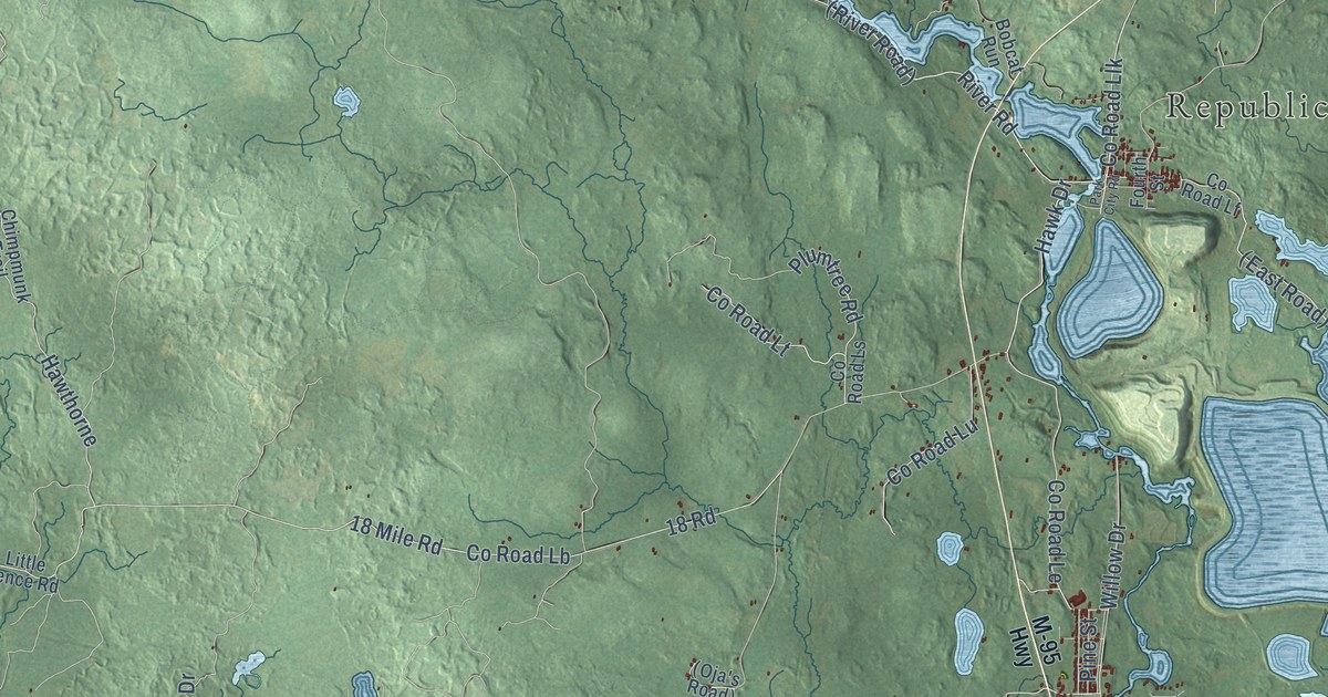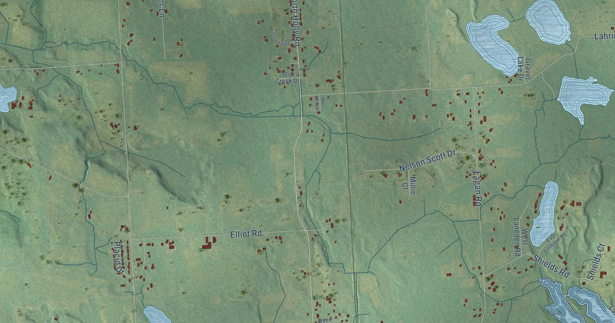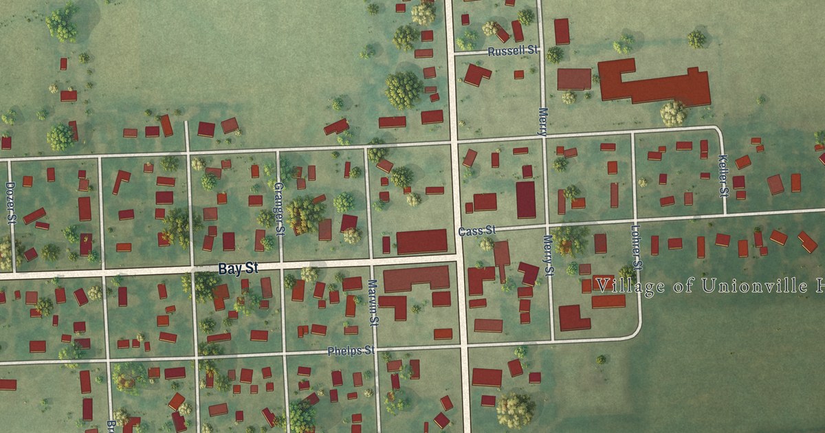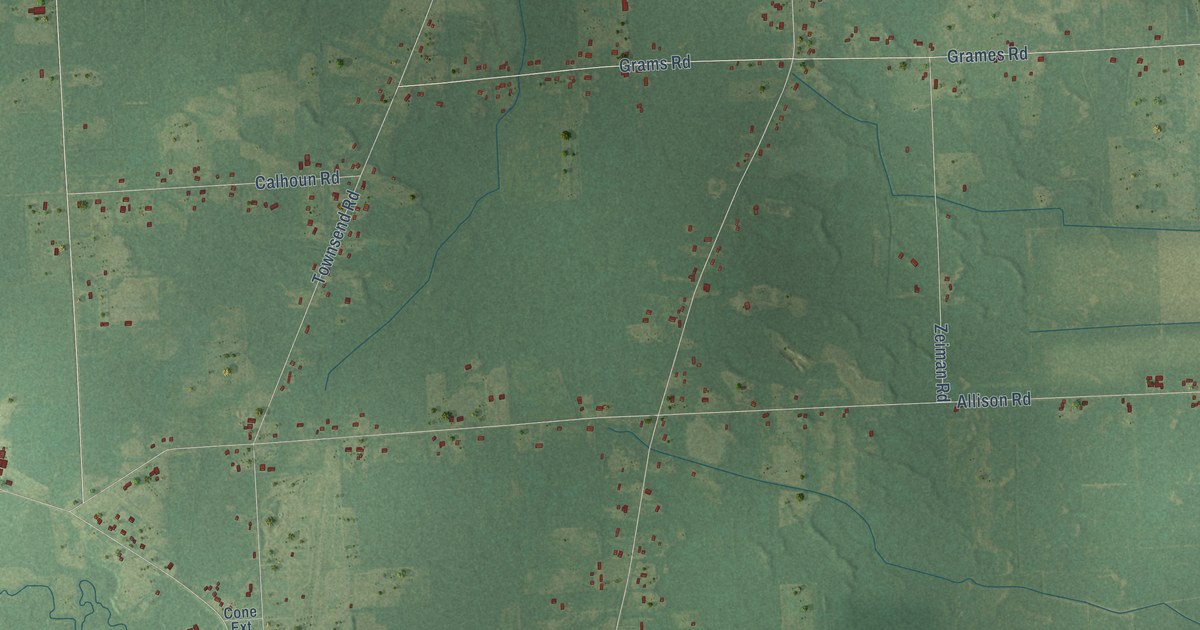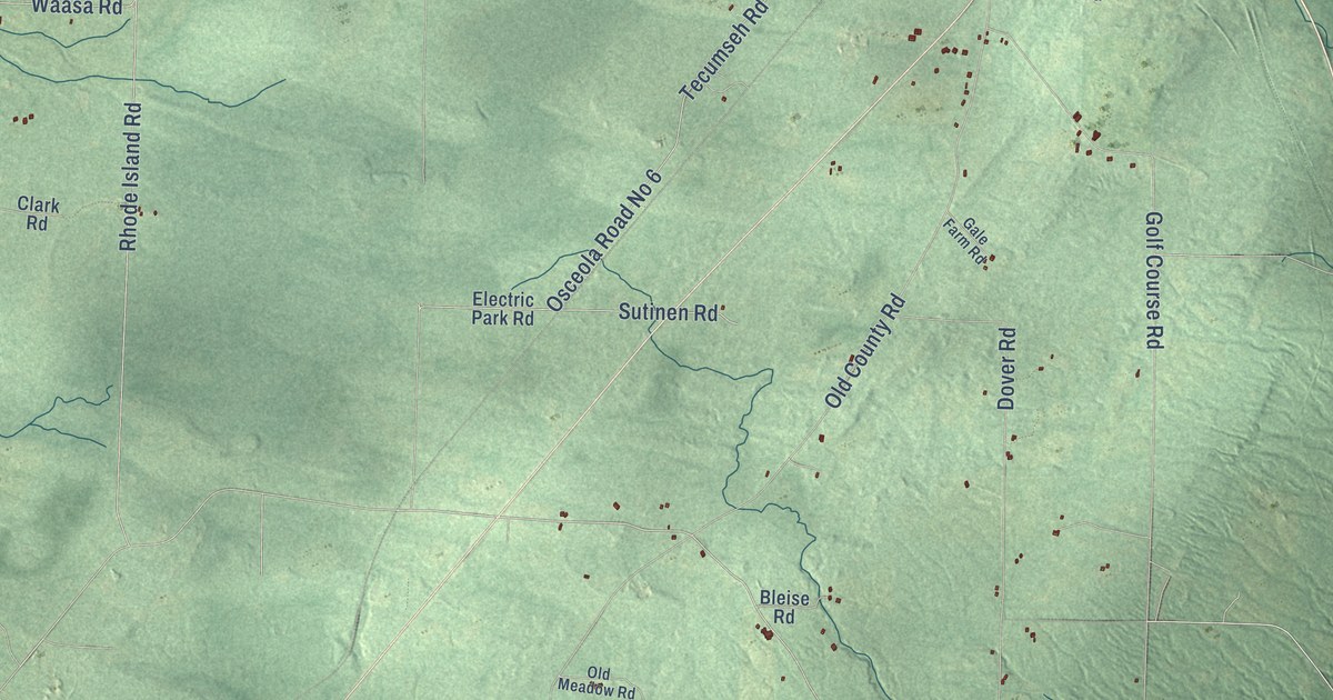
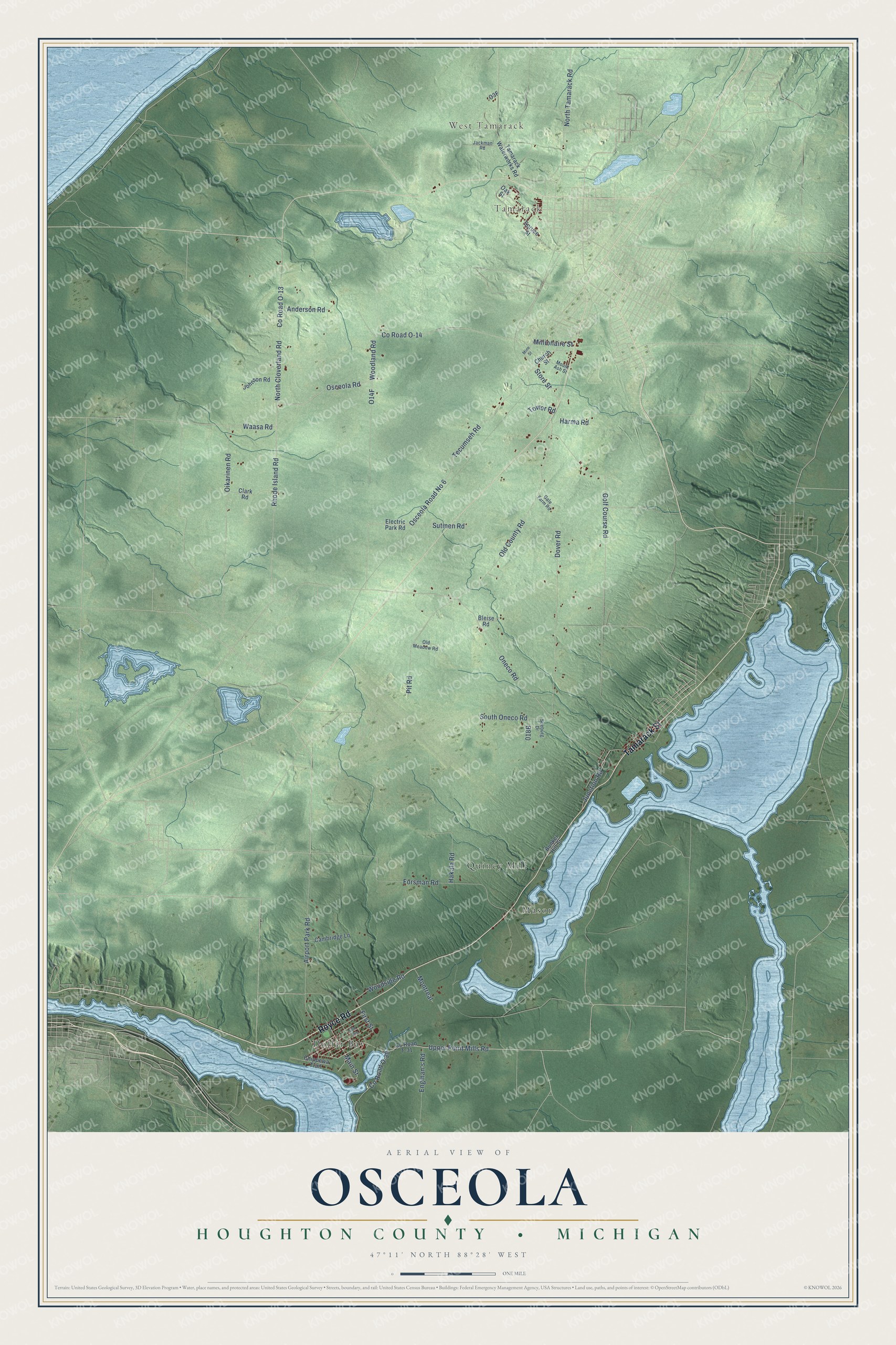
This beautifully detailed map of Osceola, Michigan was created in 2026 using aerial imagery combined with modern topographical, census, street and landmark data. It's a modern aerial view of Osceola in Houghton County, Michigan, that combines modern data with a vintage aesthetic. The roads feature printed names, and if you look closely you can find your exact house accurately shown in its correct location.
Explore an aerial view of Osceola, Michigan
On this map you'll find West Tamarack, Tamarack, Dollar Bay, Mason, Quincy Mill, Royce Road, Tamarack Street, Upper Point Mills Road, First Street, Oneco Road, Woodland Road, Co Road O-14, and more. Each red shape is a building, so zoom in on the preview and look for yours.
Here is a piece of Osceola history, in the words of the record. The History of the Northern Peninsula of Michigan puts it this way: "Osceola Consolidated Mining Company, operating its mine at Osceola, has two stamp mills adjoining those of the Tamarack, on the shore of Torch lake, the first of wood (built in 1886) having been torn down in 1905."
The Census Bureau counted 1,822 people here in 2020.
Take a closer look at the Osceola map
Names on this map
These names are printed on this map.
Places: West Tamarack, Tamarack, Dollar Bay, Mason and Quincy Mill.
Streets and roads: Royce Road, Tamarack Street, Upper Point Mills Road, First Street, Oneco Road, Woodland Road, County Road O-14, Forsman Road, Osceola Road, County Road O-30, North Cloverland Road, Rhode Island Road.
More street names, A to Z
Airport Park Road, Anderson Road, Bleise Road, Bunker Hill Street, Cambridge Lane, Chippewa Trail, Church Street, Clark Road, County Road O-13, County Road T-31, Dover Road, Electric Park Road, Elm Avenue, Engman's Road, Gale Farm Road, Golf Course Road, Hakala Road, Harma Road, Jackman Road, Johnson Road, Junction Road, Main Street, Millionaire Street, Mine Street, Montreal, Mount Ash Street, North Tamarack Road, Oak Street, Oikarinen Road, Old County Road, Old Meadow Road, Osceola Road No 6, Pit Road, Seeburg Drive, South Oneco Road, Spruce Street, Store Street, Sutinen Road, Tamarack Waterworks Road, Tecumseh Road, Tower Road, Waasa Road, Woodside Road.
Created by KNOWOL in 2026. The buildings are small red shapes, the roads carry their printed names, and shaded relief shows the shape of the land. The title panel reads "AERIAL VIEW OF OSCEOLA, HOUGHTON COUNTY • MICHIGAN" with 47°11' NORTH 88°28' WEST.
It suits a den, a classroom or a front hall, and it makes a gift for anyone with Osceola roots. Open the preview and find the block you know. See sizes and frames for the Osceola, Houghton County map.