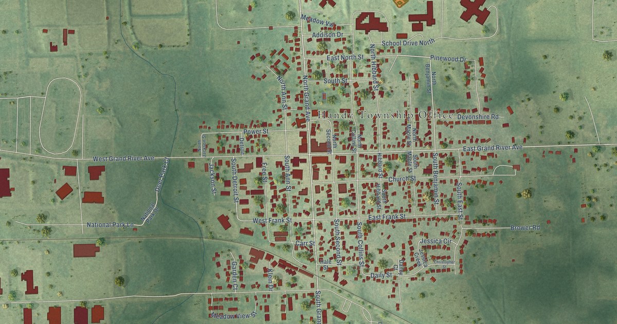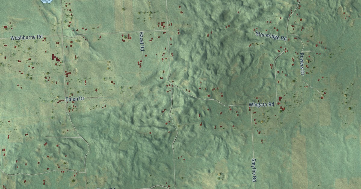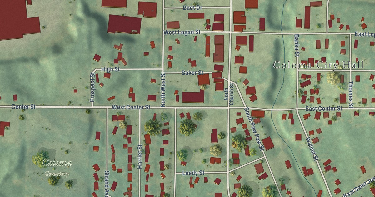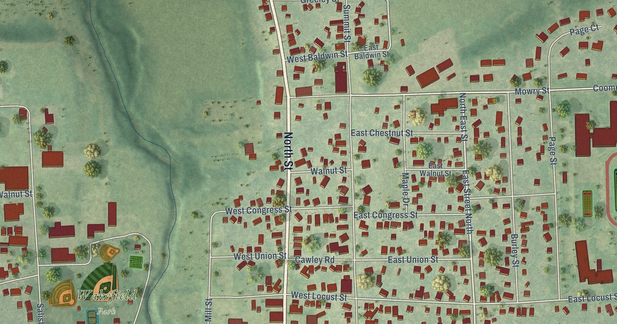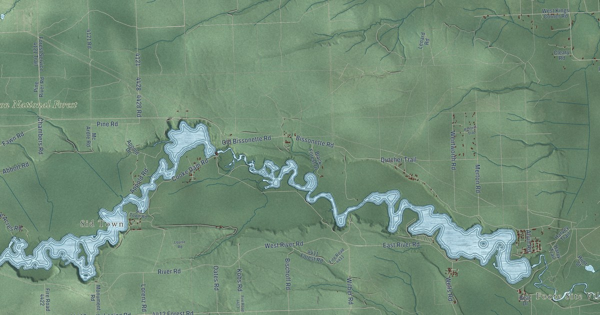
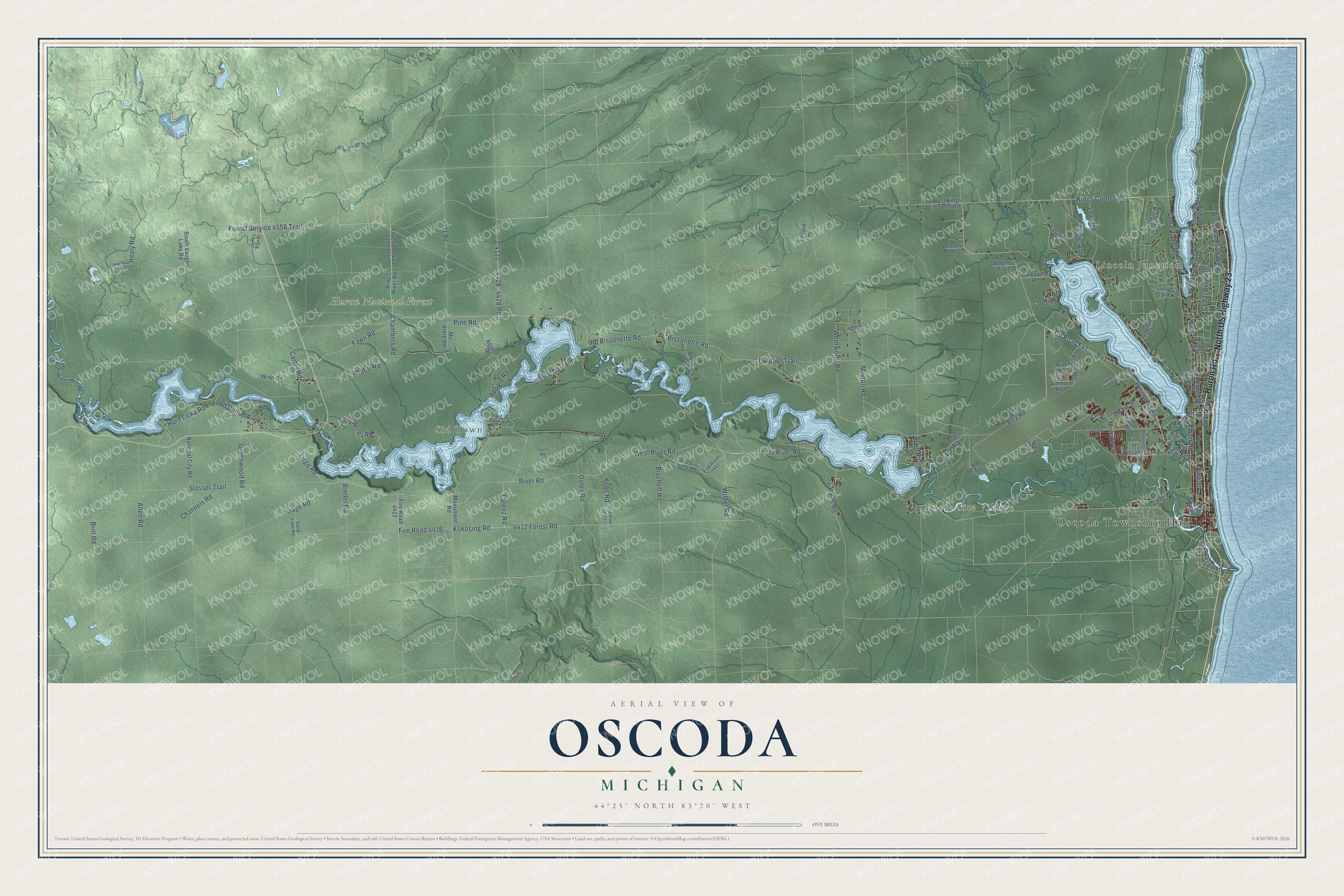
This beautifully detailed map of Oscoda, Michigan was created in 2026 using aerial imagery combined with modern topographical, census, street and landmark data. It's a modern aerial view of Oscoda in Iosco County, Michigan, that combines modern data with a vintage aesthetic. The roads feature printed names, and if you look closely you can find your exact house accurately shown in its correct location.
Explore an aerial view of Oscoda, Michigan
On this map you'll find Oscoda Township Hall, Lincoln Junction, Foote Site Village, Sid Town, Huron National Forest, Huron Road, North US Highway 23, Bissonette Road, Kings Corner Road, Chambers Road, Lorenz Road, 4428 Road, and more. Each red shape is a building, so zoom in on the preview and look for yours.
Here is a piece of Oscoda history, in the words of the record. The History of the Lake Huron Shore puts it this way: "In 1867, the firm of Smith, Kelley & Dwight, platted a tract of land which they had recently purchased, and named it Oscoda. In 1868, they built the first dock on this part of the lake."
The Census Bureau counted 7,152 people here in 2020.
Take a closer look at the Oscoda map
Names on this map
These names are printed on this map.
Places: Oscoda Township Hall, Lincoln Junction, Foote Site Village, Sid Town and Huron National Forest.
Streets and roads: Huron Road, North US Highway 23, Bissonette Road, Kings Corner Road, Chambers Road, Lorenz Road, 4428 Road, Pine Road, East River Road, Old Bissonette Road, Greenwood Road, West River Road.
More street names, A to Z
4121 Road, 4411 Forest Road, 4412 Forest Road, Abbott Road, Alexander Road, Allen Road, Alvin Road, Ammo Road, Appold Drive, Appold Road, Arrow Street, Bear Drive, Beard Road, Binder Road, Bischoff Road, Bissonette Drive, Black Forest Drive, Britt Road, Carter Road, Cedar Brook Drive, Cedar Lake Road, Channels Road, Cleary Road, Colbath Road, Cooke Dam Road, County Road F41, Crew Street, Dutcher Trail, East Cedar Lake Drive, East F41, Eighth Street, Elk Lane, F41, Fawn Road, Fifth Street, Fire Road 4411, Fire Road 4413, Fire Road 4416, Fire Road 4422, Forest Service 4121 Trail, Forest Service 4558 Trail, Gagnon Trail, Gaston Way, Georgia Drive, Hard Licka Road, Harvey Trail, Harvy Trail, Healey Road, Healy Road, Hunt Street, Huron Street, Iargo Road, Interlake Drive, Irago Road, James Ray Street, Kobs Road, Kokosing Road, Lakewood Drive, Lawrence Hobby Court, Lenard Road, Loud Dam Road, Loud Drive, Louise Road, Love Road, Mc Ardle Road, Merton Road, Mission Drive, Monument Road, National City Road, Norway Drive, Oakridge Drive, Oak Street, Oates Road, Ottawa Drive, Oun Road, Par Road, Pasterz Trail, Perimeter Road, Pine Acres Road, Pine River Road, Pine Street, Pride Road, Rea Road, Rim Road, River Road, Roanoak Drive, Sand Lake Road, Sid Town Road, Slosser Trail, South Vaughn Lake Road, Vaughn Trail, Wagner Trail, Weir Road, Wells Road, Wentworth Road, West Golfview Circle, West Kings Corner Road, Wilber Road, Winn Road, Woodlea Road West, Ziegler Road.
Created by KNOWOL in 2026. The buildings are small red shapes, the roads carry their printed names, and shaded relief shows the shape of the land. The title panel reads "AERIAL VIEW OF OSCODA, MICHIGAN" with 44°25' NORTH 83°20' WEST.
It suits a den, a classroom or a front hall, and it makes a gift for anyone with Oscoda roots. Open the preview and find the block you know. See sizes and frames for the Oscoda map.