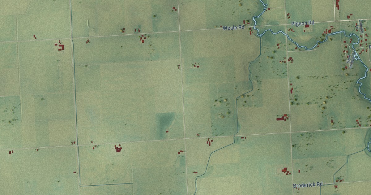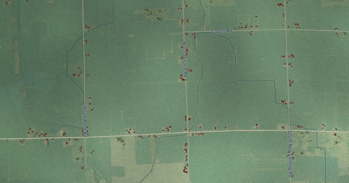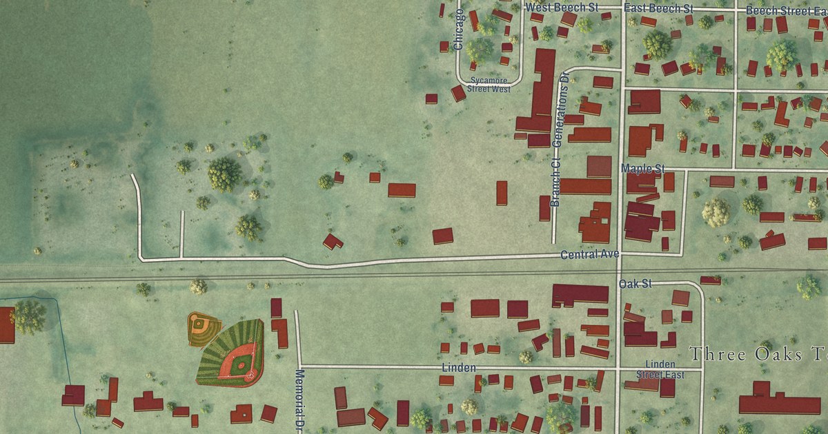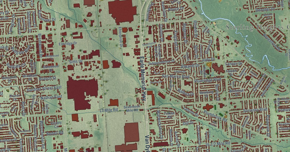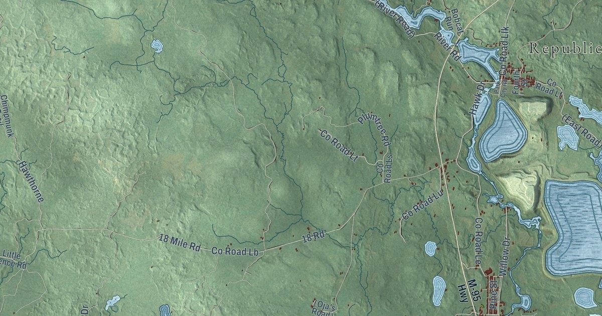
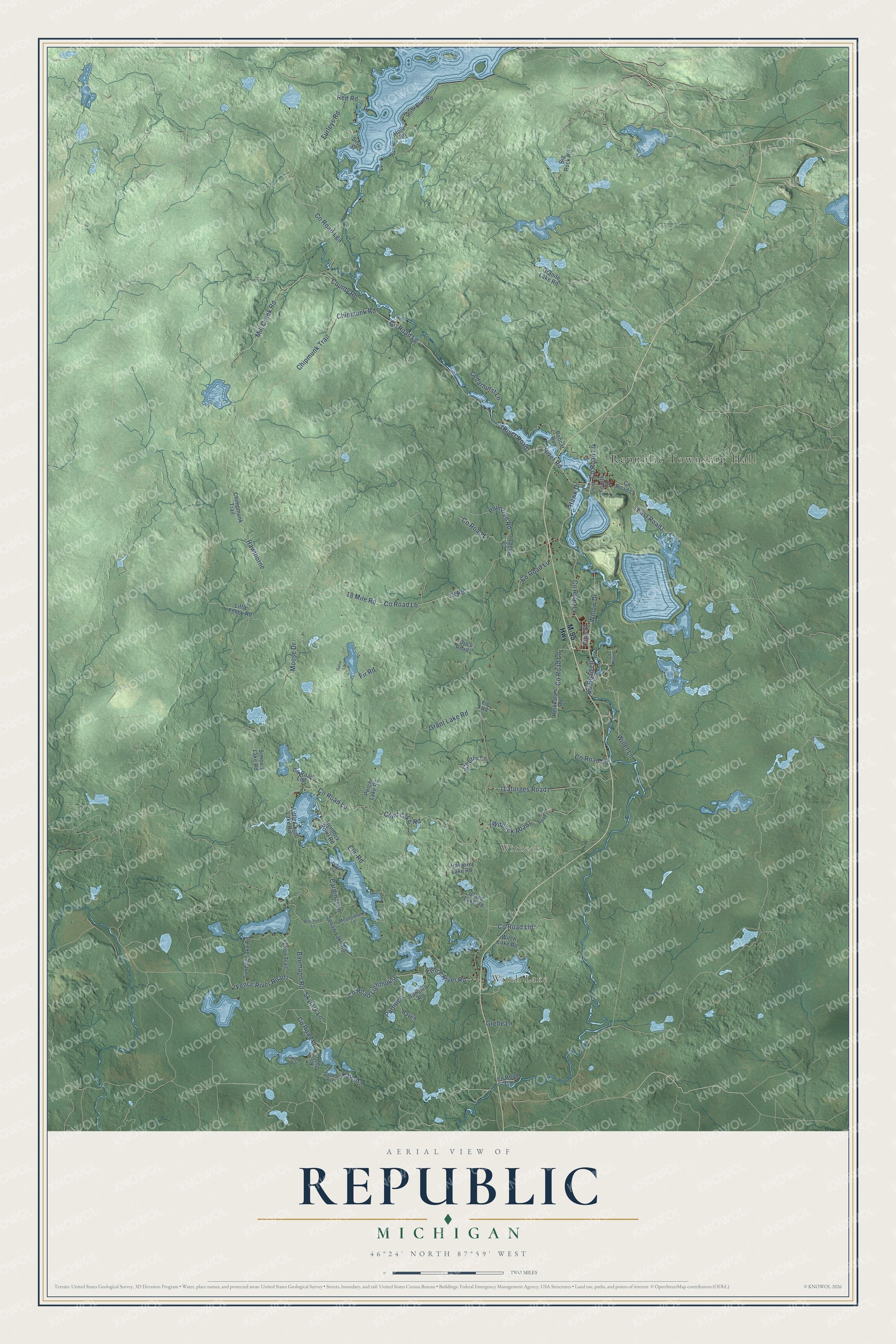
This beautifully detailed map of Republic, Michigan was created in 2026 using aerial imagery combined with modern topographical, census, street and landmark data. It's a modern aerial view of Republic in Marquette County, Michigan, that combines modern data with a vintage aesthetic. The roads feature printed names, and if you look closely you can find your exact house accurately shown in its correct location.
Explore an aerial view of Republic, Michigan
On this map you'll find Republic Township Hall, Witch Lake, Witbeck, Co Road Lga, Mill Creek Road, Willet Lane, Co Road Le, Hawk Drive, Skylark Lane, Co Road Lg, Willow Drive, (River Road), and more. Each red shape is a building, so zoom in on the preview and look for yours.
Every town has a first chapter, and Republic is no exception. The History of the Upper Peninsula of Michigan puts it this way: "St. Augustine's Catholic Church of Republic may be said to have been founded by the first missionary priest of Clarksburg, Rev. James F. Beinliz, November 28,1871."
The Census Bureau counted 994 people here in 2020.
Take a closer look at the Republic map
Names on this map
These names are printed on this map.
Places: Republic Township Hall, Witch Lake and Witbeck.
Streets and roads: County Road Lga, Mill Creek Road, Willet Lane, County Road Le, Hawk Drive, Skylark Lane, County Road Lg, Willow Drive, County Road, River Road, County Road Llk, County Road Lighthouse.
More street names, A to Z
18 Mile Road, 18 Road, Baumann Road, Big Rock Road, Blackbird Lane, Blue Jay Lane, Bobcat Run, Cardinal Lane, Cedarhurst Lane, Cherry Lane, Chief Lake Road, Chimpmunk Trail, Chipmunk Road, Chipmunk Trail, County Road Lb, County Road Lc, County Road Ld, County Road Lf, County Road Lj, County Road Llb, County Road Llc, County Road Lld, County Road Lll, County Road Llm, County Road Lo, County Road Lr, County Road Ls, County Road Lt, County Road Lu, Elm Road, Fence River Road, Fig Road, Fir Road, Fourth Street, Furleys Road, Garrett Avenue, Granite Lake Road, Grant Lake Road, Grebe Lane, Guna Lane, Hawthorne, Haywire Lake Road, Heikkala's Road, Hemlock Point Road, Holli Blue Road, Holli Road, Island Lake Road, Junco Lane, Karen Lane, Little Chief Lake Road, Little Fence Road, M-95 Highway, Meadowlark Lane, Moose Drive, Oriole Lane, Park City Road, Partidge, Perch Lake Road, Pine Street, Plumtree Road, Raven, Red Road, Sandhill Road, Silver Street, Simon's Lake Road, Sundog Lake Road, Witch Lake Road, Yukon Trail.
Created by KNOWOL in 2026. The buildings are small red shapes, the roads carry their printed names, and shaded relief shows the shape of the land. The title panel reads "AERIAL VIEW OF REPUBLIC, MICHIGAN" with 46°24' NORTH 87°59' WEST.
Hang it in the hallway, the office or the cabin, or give it to someone who left Republic and still calls it home. Open the preview and look for a street you know. See sizes and frames for the Republic map.