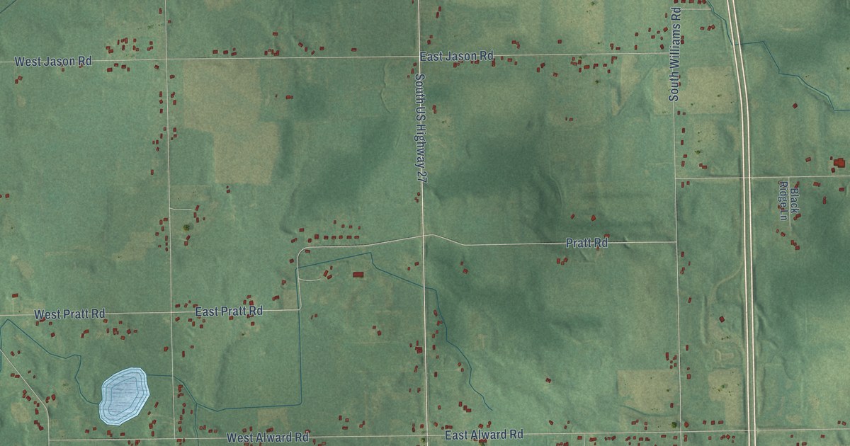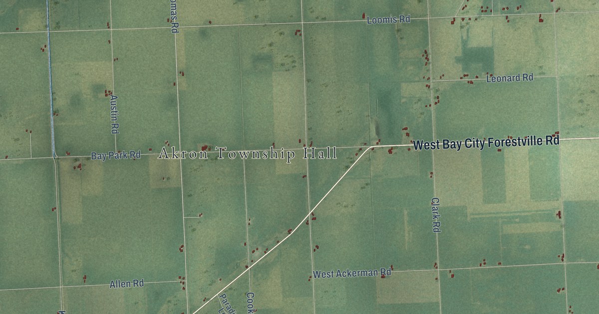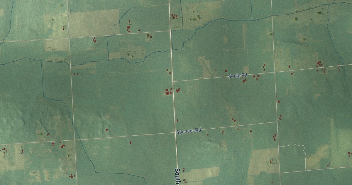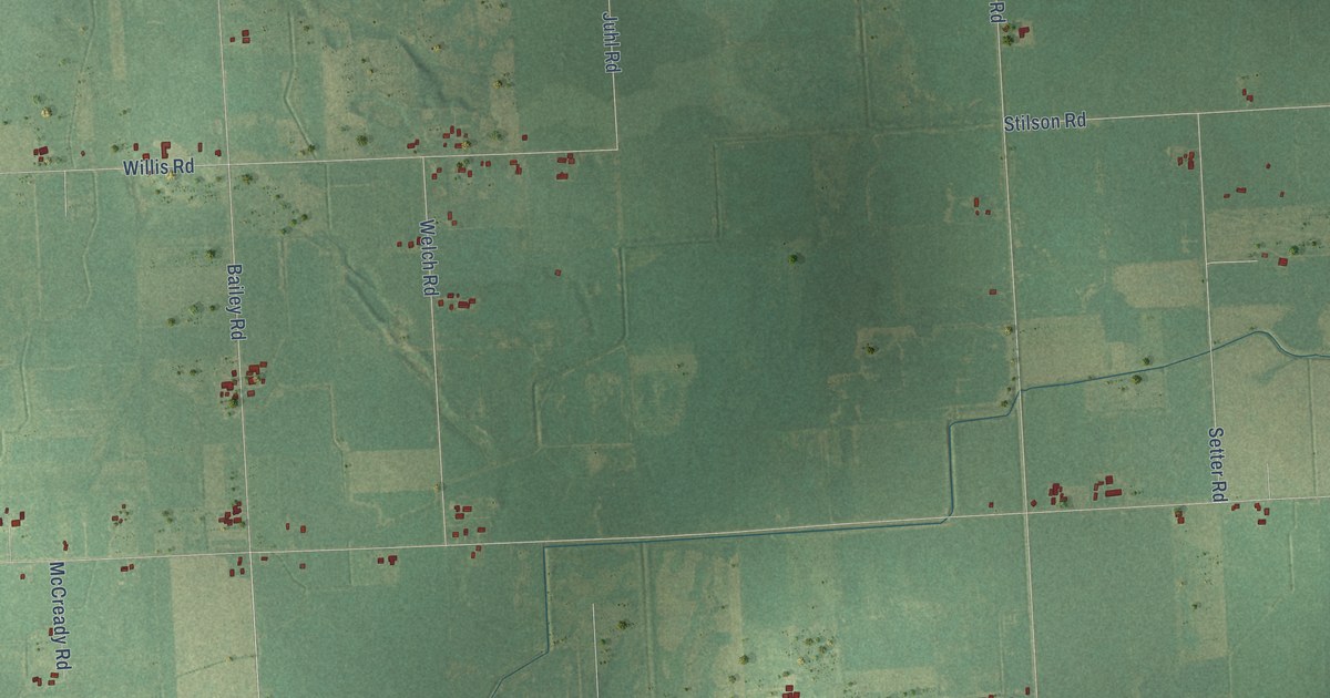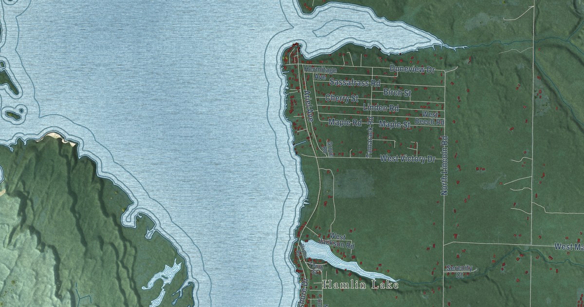
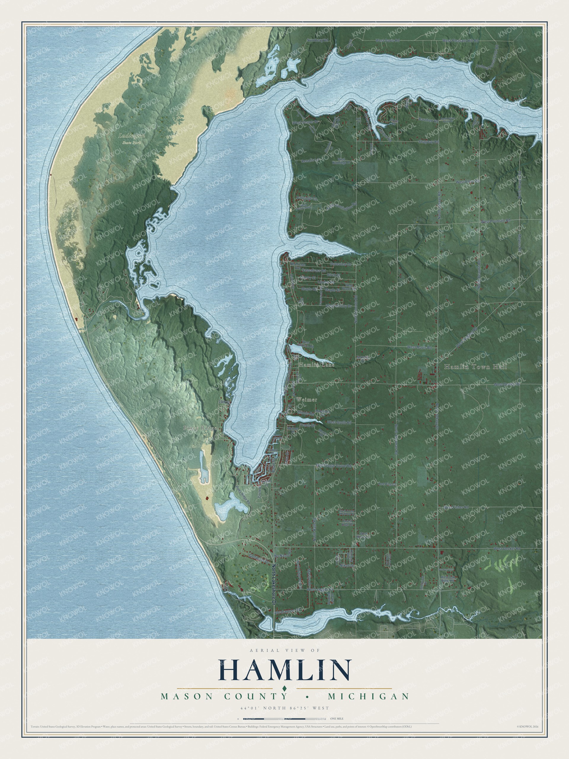
This beautifully detailed map of Hamlin, Michigan was created in 2026 using aerial imagery combined with modern topographical, census, street and landmark data. It's a modern aerial view of Hamlin in Mason County, Michigan, that combines modern data with a vintage aesthetic. The roads feature printed names, and if you look closely you can find your exact house accurately shown in its correct location.
Explore an aerial view of Hamlin, Michigan
On this map you'll find Hamlin Town Hall, Piney Ridge, Weimer, Hamlin Lake, Ludington State Park, North Lakeshore Drive, West Pleasant Hill Road, Grace Avenue, West Davis Road, Travis Drive, 19th Street, North Jebavy Drive, and more. Each red shape is a building, so zoom in on the preview and look for yours.
Here is a piece of Hamlin history, in the words of the record. The record at arcgis.com puts it this way: "Among the lumbering towns of the region was Hamlin, located on the Big Sable River at this site."
The Census Bureau counted 3,711 people here in 2020.
Take a closer look at the Hamlin map
Names on this map
These names are printed on this map.
Places: Hamlin Town Hall, Piney Ridge, Weimer, Hamlin Lake and Ludington State Park.
Streets and roads: North Lakeshore Drive, West Pleasant Hill Road, Grace Avenue, West Davis Road, Travis Drive, 19th Street, North Jebavy Drive, North Lincoln Road, North Sherman Road, West Decker Road, West Dewey Road, North Beaune Road.
More street names, A to Z
Abrahamson Road, Alliene Road, Ariel Avenue, Barnhart Road, Basin Street, Bayou Road, Beech Lane, Birch Street, Bluff Avenue, Breckenridge, Cherry Street, Circle Drive, Dahlke Road, Duneview Drive, Epworth Avenue, Federal Forest 5707 Road, Forest Edge Drive, Glenview Drive, Golfwood Drive, Grand Avenue, Grove Road, Hermitage Avenue, Illinois Road, Janecyk Road, Kennedy Boulevard, Kildeer Lane, Lena Drive, Linden Road, Loggers Lane, Maple Road, Maple Street, Marilyn Drive, Mears Road, Meyers Road, Middleton Road, Neil Street, Nixon Drive, No Name Road, North Culver Road, North Huntington Road, North Island Drive, North Jebavy Road, North Larch Drive, North Meyers Road, North Rath Road, North Ridge View Court, North Swan Point Drive, North Wilson Lane, Nurnberg Road, Orchard Lane, Partridge Circle, Pine Street, Piney Ridge Road, Red Pine Court, Renalis Lane, Ridgewood Drive, Robert Street, Sassafrass Road, Serenity Court, Shagway Road, Silander Lane, Stearns Road, Storm Road, Sunset Bay Road, Tall Oaks Drive East, Tamarack Road, Tenth Street, Weimer Street, West Angling Road, West Beech Road, West Ehler Road, West Fisher Road, West Forest Meadows Drive, West Fountain Road, West Groth Road, West Jackson Road, West Jagger Road, West Mavis Road, West Mistey Lane, West Nanninga Drive, West Oak Ridge Road, West Silander, West Sugar Grove Road, West Vesper Drive, West Victory Drive, West Windamere, Wooded Lake Drive.
Created by KNOWOL in 2026. The buildings are small red shapes, the roads carry their printed names, and shaded relief shows the shape of the land. The title panel reads "AERIAL VIEW OF HAMLIN, MASON COUNTY • MICHIGAN" with 44°01' NORTH 86°25' WEST.
It suits a den, a classroom or a front hall, and it makes a gift for anyone with Hamlin roots. Open the preview and find the block you know. See sizes and frames for the Hamlin, Mason County map.