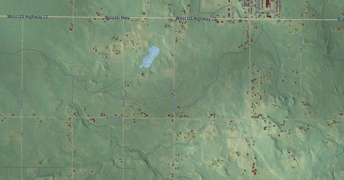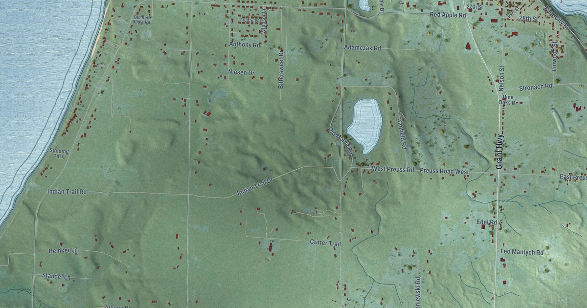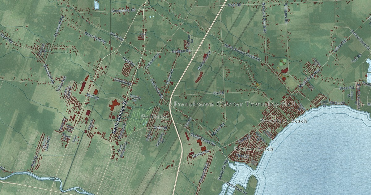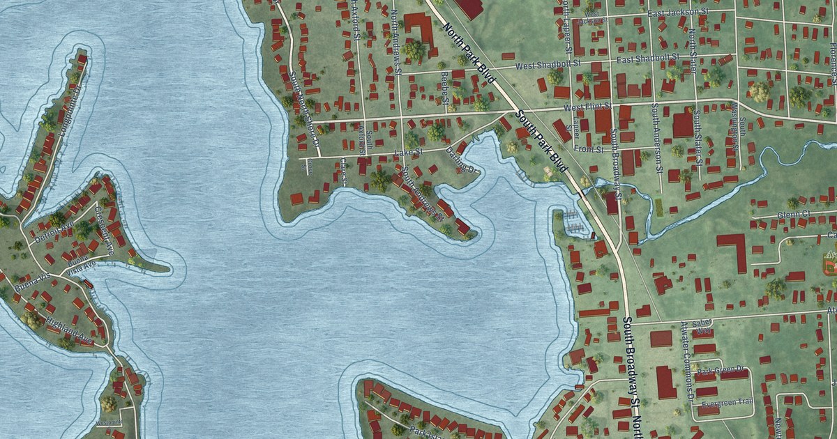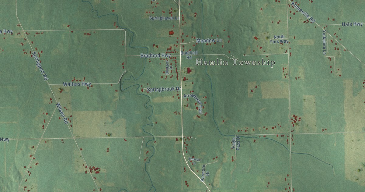
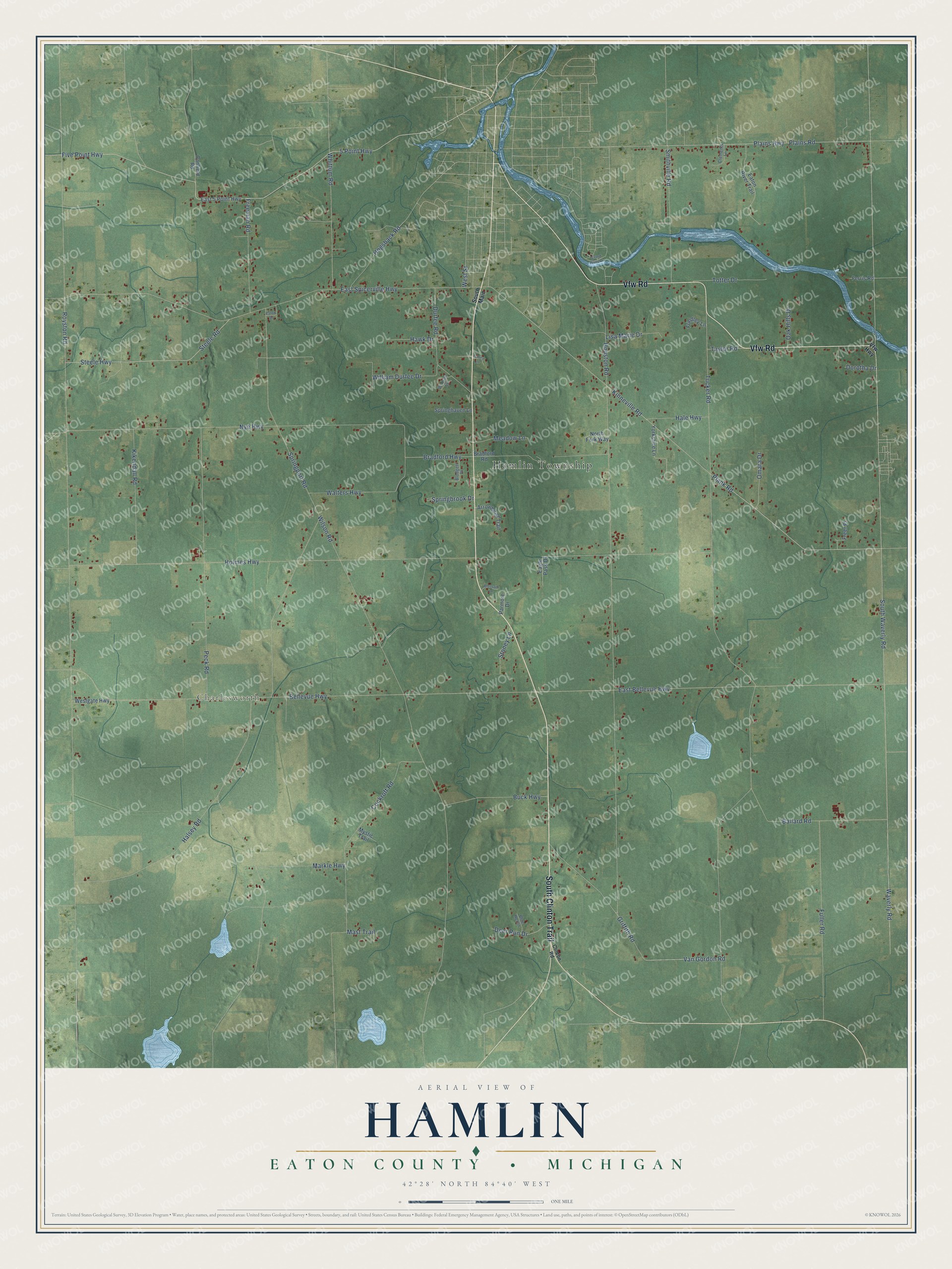
This beautifully detailed map of Hamlin, Michigan was created in 2026 using aerial imagery combined with modern topographical, census, street and landmark data. It's a modern aerial view of Hamlin in Eaton County, Michigan, that combines modern data with a vintage aesthetic. The roads feature printed names, and if you look closely you can find your exact house accurately shown in its correct location.
Explore an aerial view of Hamlin, Michigan
On this map you'll find Hamlin Township, Charlesworth, South Clinton Trail, Vfw Road, East Bellevue Highway, Kinneville Road, 5 Point Highway, Five Point Highway, Bellevue Highway, Bradford Highway, Royston Road, South Waverly Road, and more. Each red shape is a building, so zoom in on the preview and look for yours.
Every town has a first chapter, and Hamlin is no exception. The History of Ingham and Eaton Counties puts it this way: "H. P. Onderdonk, from Rockland Co., N. Y., purchased land in Hamlin in 1836, and settled in 1838."
The Census Bureau counted 3,227 people here in 2020.
Take a closer look at the Hamlin map
Names on this map
These names are printed on this map.
Places: Hamlin Township and Charlesworth.
Streets and roads: South Clinton Trail, Vfw Road, East Bellevue Highway, Kinneville Road, 5 Point Highway, Five Point Highway, Bellevue Highway, Bradford Highway, Royston Road, South Waverly Road, Springport Road, Tucker Road.
More street names, A to Z
Arrowhead Trail, Ballard Road, Blodgett Drive, Blossom Lane, Blue Heron, Bradford Road, Buck Highway, Canfield Road, Clements Lane, Clinton Road, Cockroft Road, Deer Run Drive, Dorotha Drive, Durfee Road, Eagle Pass Drive, East 5 Point Highway, East Spicerville Highway, Eaton River Trail, Eaton Street, Ferris Road, Freeman Road, Freer Place, Friedley Lane, Fuller Road, Grand River Drive, Griffith Road, Hale Highway, Halsey Road, Hawk Drive, Hogsback Road, Holmes Highway, Houston Road, Kikendall Road, Lisa Marie Drive, Markle Highway, Mast Trail, Meadow Lane, Mystic Trail, North Fork Way, Nye Highway, Oak Hills Drive, Omara Drive, Parmore Drive, Peck Road, Plains Highway, Plains Road, Plank Road, Smithville Road, South Main, Springbrook Drive, Springhaven Lane, Steele Highway, Steele Road, Stoney Lane, Taylor Road, Totter Drive, Trinity Lane, Van Gordon Road, Vfw Highway, Walters Highway, Watson Lane, Waverly Road, Westgate Highway, West Street, Whittum Road, William Durfee Drive, Wilson Road, Yorkshire Lane.
Created by KNOWOL in 2026. The buildings are small red shapes, the roads carry their printed names, and shaded relief shows the shape of the land. The title panel reads "AERIAL VIEW OF HAMLIN, EATON COUNTY • MICHIGAN" with 42°28' NORTH 84°40' WEST.
Hang it in the hallway, the office or the cabin, or give it to someone who left Hamlin and still calls it home. Open the preview and look for a street you know. See sizes and frames for the Hamlin, Eaton County map.