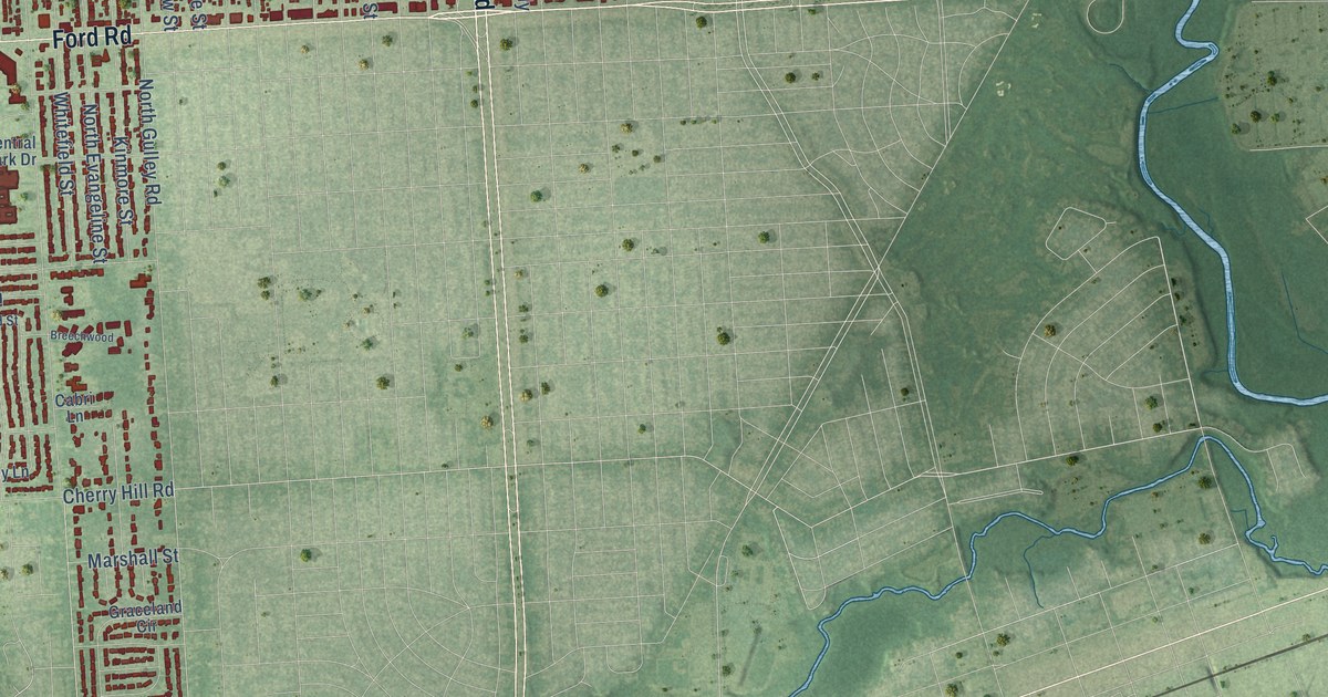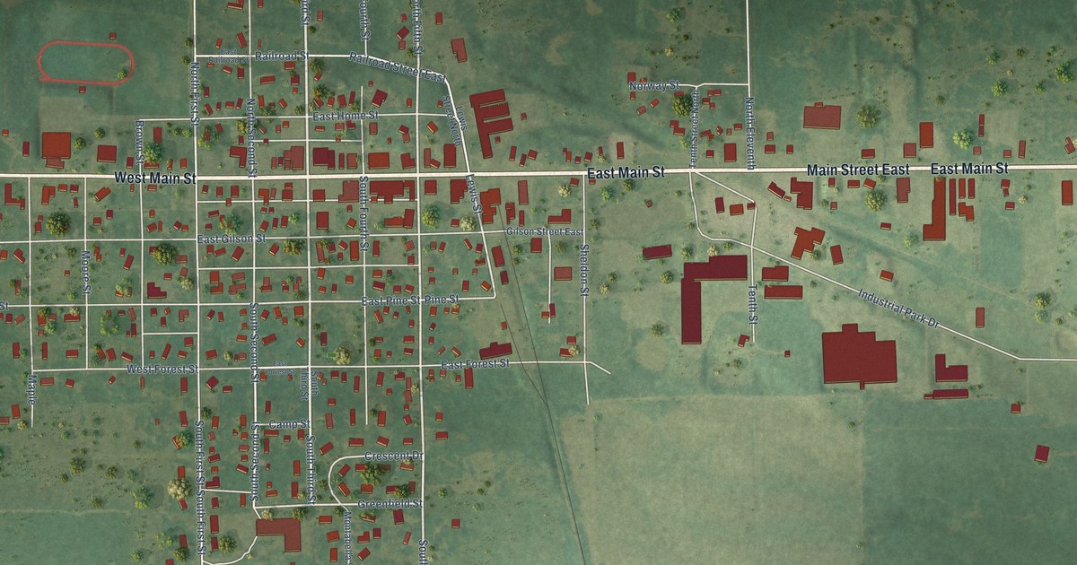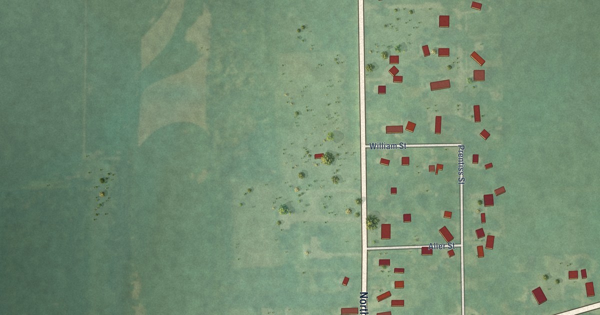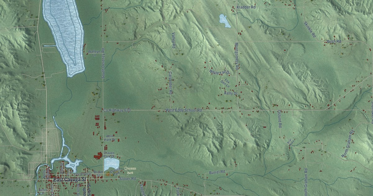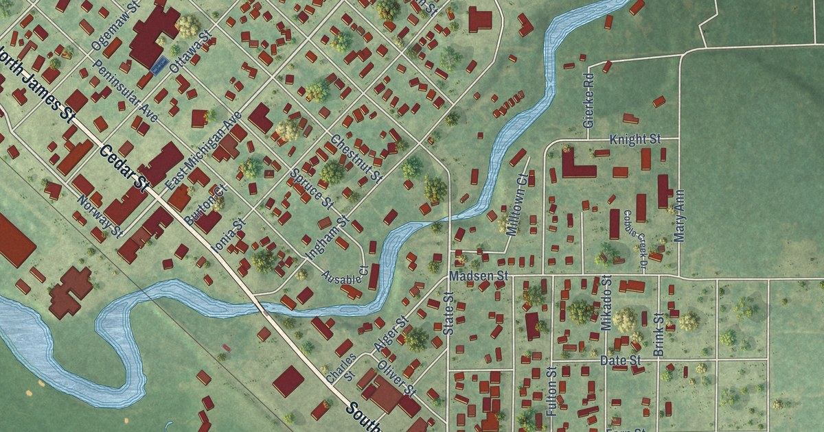
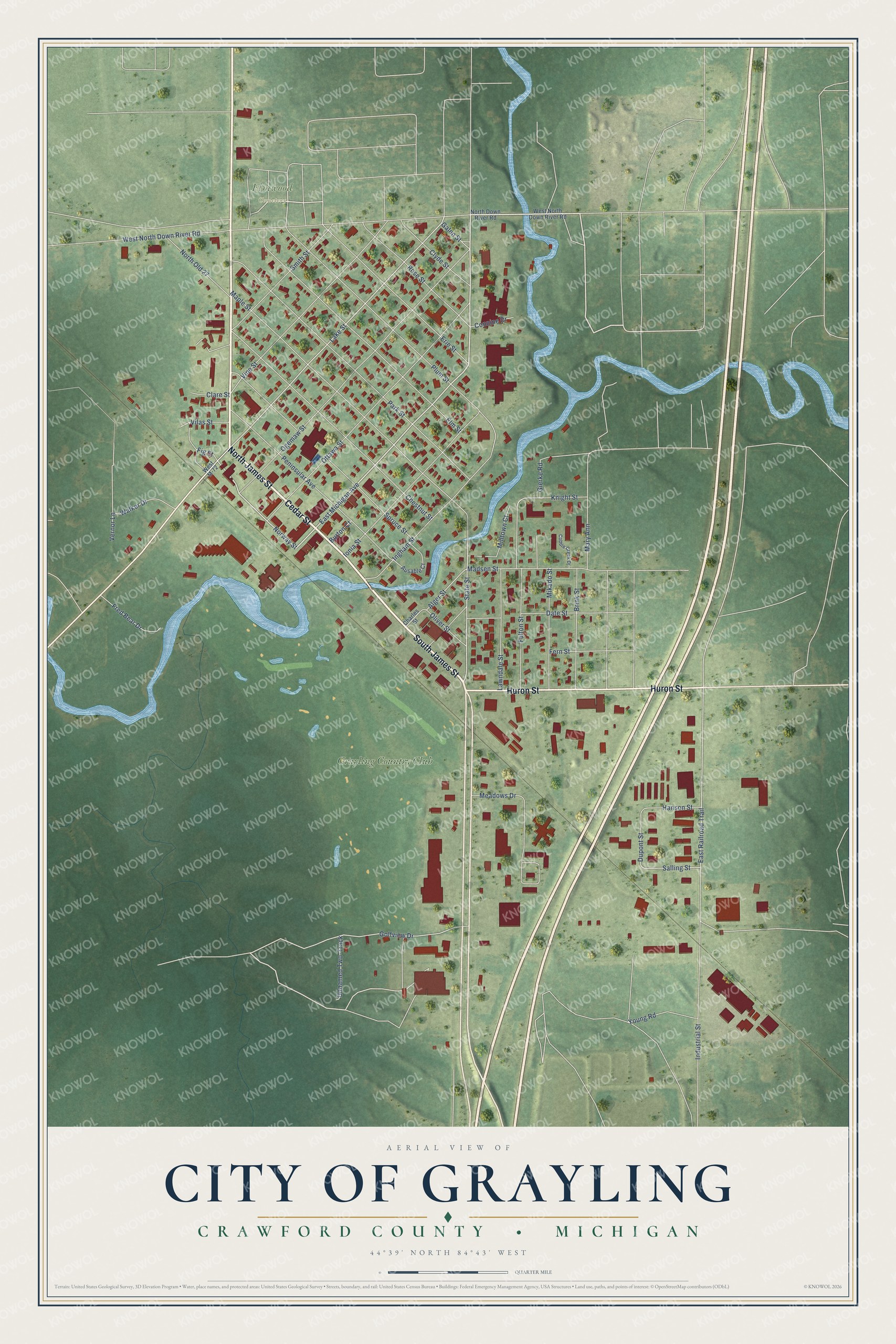
This beautifully detailed map of Grayling, Michigan was created in 2026 using aerial imagery combined with modern topographical, census, street and landmark data. It's a modern aerial view of Grayling in Crawford County, Michigan, that combines modern data with a vintage aesthetic. The roads feature printed names, and if you look closely you can find your exact house accurately shown in its correct location.
Explore an aerial view of Grayling, Michigan
On this map you'll find Elmwood Cemetery, Grayling Country Club, Cedar Street, North James Street, South James Street, Huron Street, East Michigan Avenue, Norway Street, Lake Street, State Street, Fig Street, Salling Street, and more. Each red shape is a building, so zoom in on the preview and look for yours.
Grayling has a story worth telling. The History of Northern Michigan and Its People puts it this way: "During the first administration of President Cleveland the government land offices then located at Detroit, Saginaw and Big Rapids were consolidated and moved to Grayling."
Grayling is a city in Crawford County. The Census Bureau counted 1,867 people here in 2020.
Take a closer look at the Grayling map
Names on this map
These names are printed on this map.
Places: Elmwood Cemetery and Grayling Country Club.
Streets and roads: Cedar Street, North James Street, South James Street, Huron Street, East Michigan Avenue, Norway Street, Lake Street, State Street, Fig Street, Salling Street, East Railroad Trail, Golfview Drive.
More street names, A to Z
Alger Street, Ausable Court, Brink Street, Burton Court, Charles Street, Chestnut Street, Clare Street, Clyde Street, Cobble Creek Drive, Connine Drive, Date Street, Dupont Street, Elm Street, Erie Street, Fern Street, Fred Bear Drive, Fulton Street, Galen Street, Gierke Road, Hanson Street, Industrial Street, Ingham Street, Ionia Street, Knight Street, Lawndale Street, Madsen Street, Maple Street, Mary Ann, Meadows Drive, Mikado Street, Milltown Court, North Down River Road, North Old 27, Ogemaw Street, Oliver Street, Ottawa Street, Park Street, Peninsular Avenue, Plum Street, Rose Street, Smith Street, Spruce Street, Unnamed Two-Track, Vernor Lane, Vilas Street, Vine Street, Walker Drive, West M-72, West North Down River Road, Young Road.
Created by KNOWOL in 2026. The buildings are small red shapes, the roads carry their printed names, and shaded relief shows the shape of the land. The title panel reads "AERIAL VIEW OF CITY OF GRAYLING, CRAWFORD COUNTY • MICHIGAN" with 44°39' NORTH 84°43' WEST.
It looks right in a kitchen, an office or a den, and it's a gift for anyone who grew up in Grayling or moved away. Open the preview and find your street. See sizes and frames for the Grayling map.