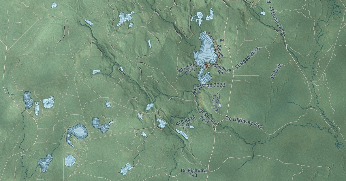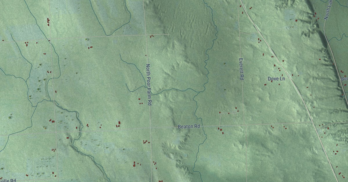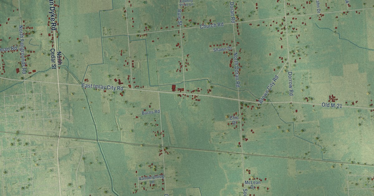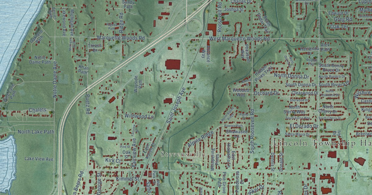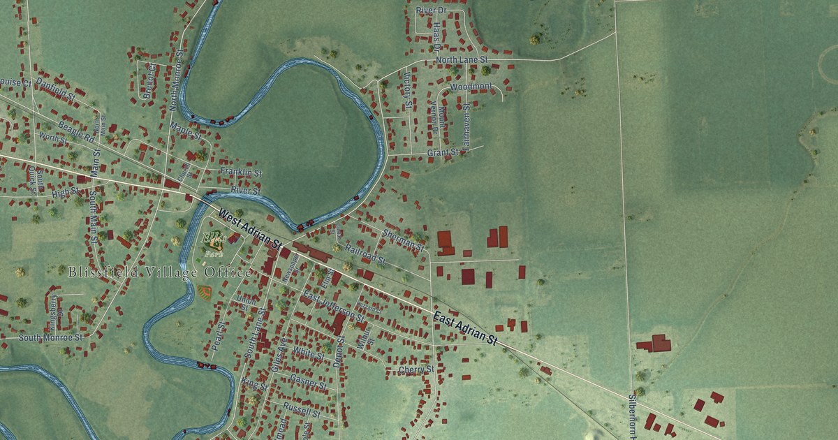
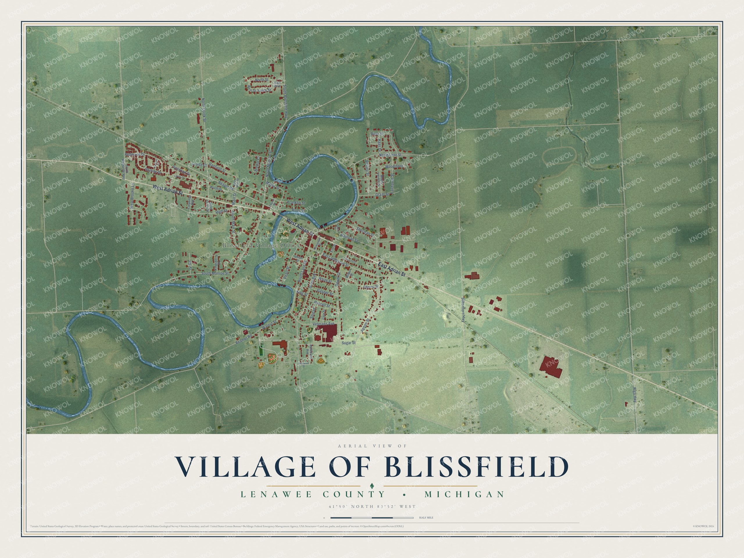
This beautifully detailed map of Blissfield, Michigan was created in 2026 using aerial imagery combined with modern topographical, census, street and landmark data. It's a modern aerial view of Blissfield in Lenawee County, Michigan, that combines modern data with a vintage aesthetic. The roads feature printed names, and if you look closely you can find your exact house accurately shown in its correct location.
Explore an aerial view of Blissfield, Michigan
On this map you'll find Blissfield Village Office, Ellis Park, West Adrian Street, East Adrian Street, North Monroe Street, South Lane Street, North Lane Street, South Monroe Street, Beagle Road, Victorian Drive, Main Street, Jipson Street, and more. Each red shape is a building, so zoom in on the preview and look for yours.
Every town has a first chapter, and Blissfield is no exception. The Memoirs of Lenawee County puts it this way: "The first store in Blissfield was a general store, and was located where the restaurant now stands. It was owned and conducted by Almond Harrison, who also owned a sawmill and grist mill on the site of the present Blissfield water mill."
Blissfield is a village in Lenawee County. The Census Bureau counted 3,277 people here in 2020.
Take a closer look at the Blissfield map
Names on this map
These names are printed on this map.
Places: Blissfield Village Office and Ellis Park.
Streets and roads: West Adrian Street, East Adrian Street, North Monroe Street, South Lane Street, North Lane Street, South Monroe Street, Beagle Road, Victorian Drive, Main Street, Jipson Street, North Quick Street, Woodmont.
More street names, A to Z
Beamer Road, Brenot Court, Carpenter Avenue, Cherry Street, Church Street, Cole Street, Custar Street, Danfield Street, Depot Street, East Boulevard, East Jefferson Street, Elm Street, Fairhaven Street, Franklin Street, Gasner Street, Giles Avenue, Grant Street, Haas Drive, Harmony Drive, Hazzard Court, High Street, Joy Street, Kingsberry Drive, King Street, Liberty Drive, Louise Court, Maple Street, Mount Vernon Drive, Newspaper Street, North Main Street, North Street, Parkwood Avenue, Parkwood Street, Pearl Street, Railroad Street, Redmond Drive, Riga Highway, River Drive, River Street, Russell Street, Sherman Street, Silberhorn Highway, Skyline Drive, Smead, South Blissfield Highway, South Main Street, South Quick Street, South Street, South Wellsville Highway, Sugar Street, Union Street, Veterans Avenue, Victory Street, Walnut Street, West Brooke Lane, West Street, White Street, Wilbur Street, Worth Street.
Created by KNOWOL in 2026. The buildings are small red shapes, the roads carry their printed names, and shaded relief shows the shape of the land. The title panel reads "AERIAL VIEW OF VILLAGE OF BLISSFIELD, LENAWEE COUNTY • MICHIGAN" with 41°50' NORTH 83°52' WEST.
Hang it in the hallway, the office or the cabin, or give it to someone who left Blissfield and still calls it home. Open the preview and look for a street you know. See sizes and frames for the Blissfield map.