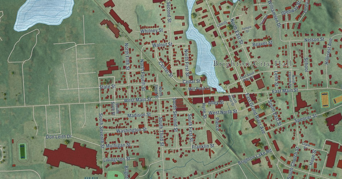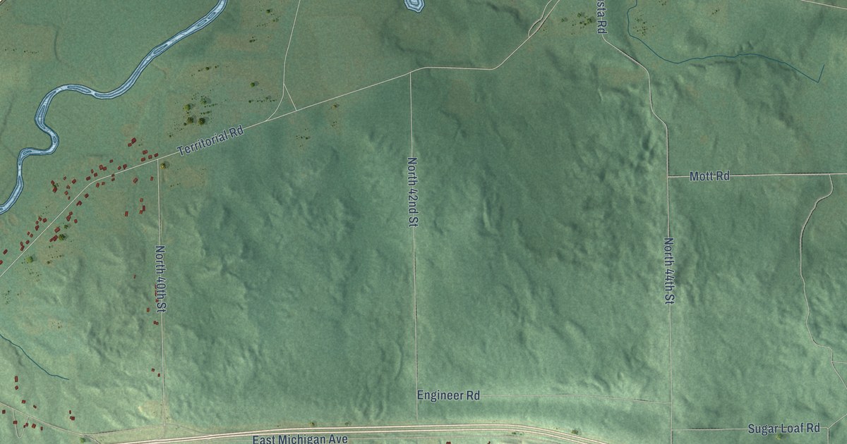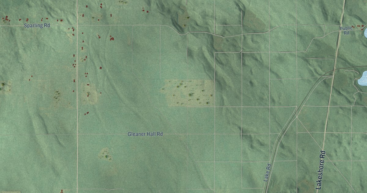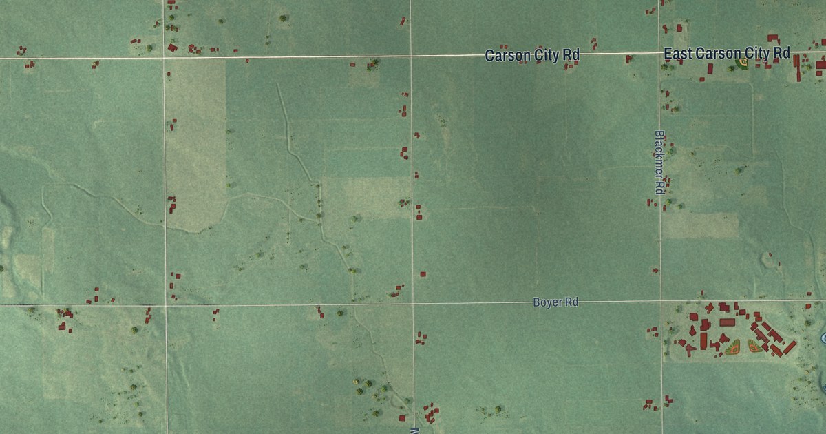
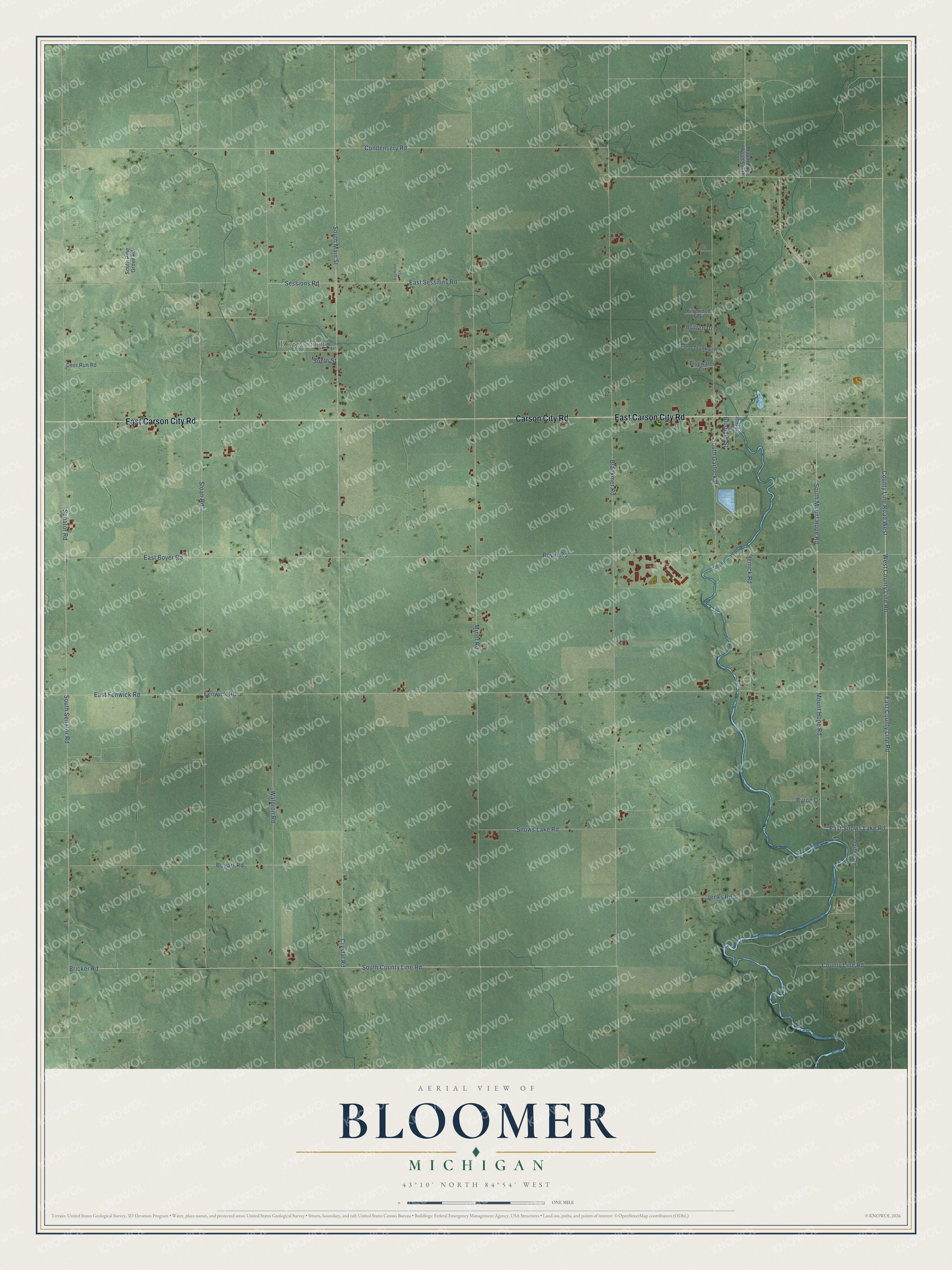
This beautifully detailed map of Bloomer, Michigan was created in 2026 using aerial imagery combined with modern topographical, census, street and landmark data. It's a modern aerial view of Bloomer in Montcalm County, Michigan, that combines modern data with a vintage aesthetic. The roads feature printed names, and if you look closely you can find your exact house accurately shown in its correct location.
Explore an aerial view of Bloomer, Michigan
On this map you'll find Butternut, East Carson City Road, Carson City Road, County Line Road West, County Line Road, East County Line Road, East Snows Lake Road, West County Line Road, South Mount Hope Road, South County Line Road, Bricker Road, South Senator Road, and more. Each red shape is a building, so zoom in on the preview and look for yours.
Here is a piece of Bloomer history, in the words of the record. The History of Montcalm County puts it this way: "As to where the first school in Bloomer was held or by whom it was taught, there is much diversity of opinion and contradictory statements. It seems that in the fall or winter of 1852-53 Alvira K. Miner opened a school in the little log cabin built by her father upon his settlement in the township, he in the meantime having erected a more commodious one for the family."
The Census Bureau counted 6,352 people here in 2020.
Take a closer look at the Bloomer map
Names on this map
These names are printed on this map.
Places: Butternut.
Streets and roads: East Carson City Road, Carson City Road, County Line Road West, County Line Road, East County Line Road, East Snows Lake Road, West County Line Road, South Mount Hope Road, South County Line Road, Bricker Road, South Senator Road, Senator Road.
More street names, A to Z
Blackmer Road, Bloomer Street, Bluewater Drive, Bogart Road, Boyer Road, Britten Drive, Byron Drive, Condensery Road, Crystal Road, Dailey Road, Deer Run Road, East Boyer Road, East Fenwick Road, East Sessions Road, Fenwick Road, Grand Trunk Lane, Herrick Road, Jenks Road, Miner Road, Mount Hope Road, Mount Hope Road South, North Street, Pinewood Trail, Raymond Lane, Sessions Road, Sloan Road, Snows Lake Road, South Bussell Street, South Garlock Road, South Main Street, South Pine Grove Road, South Street, Waldron Road.
Created by KNOWOL in 2026. The buildings are small red shapes, the roads carry their printed names, and shaded relief shows the shape of the land. The title panel reads "AERIAL VIEW OF BLOOMER, MICHIGAN" with 43°10' NORTH 84°54' WEST.
It suits a den, a classroom or a front hall, and it makes a gift for anyone with Bloomer roots. Open the preview and find the block you know. See sizes and frames for the Bloomer map.