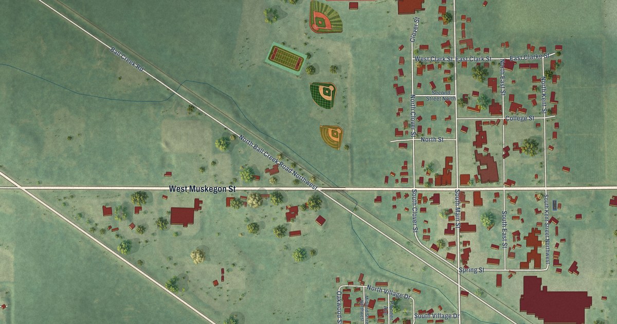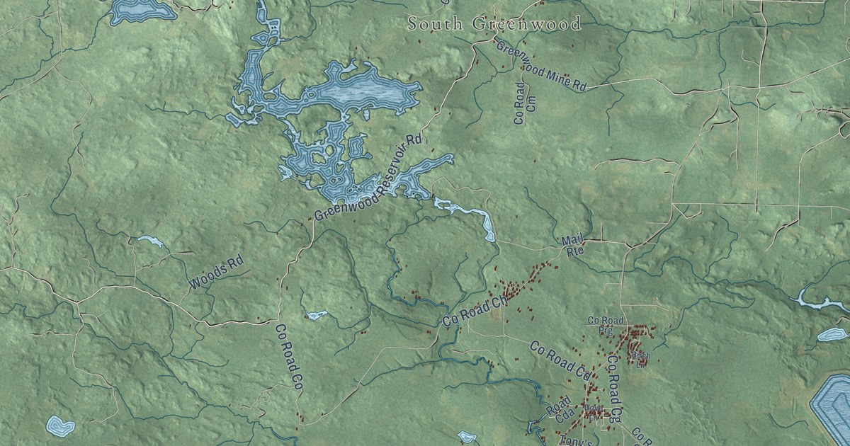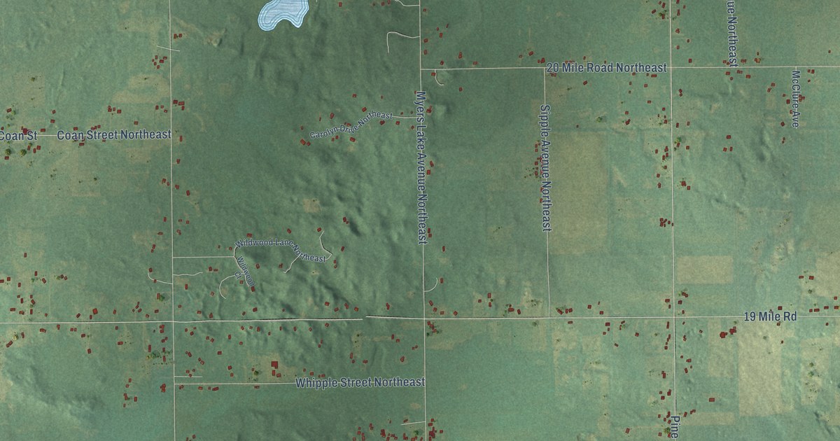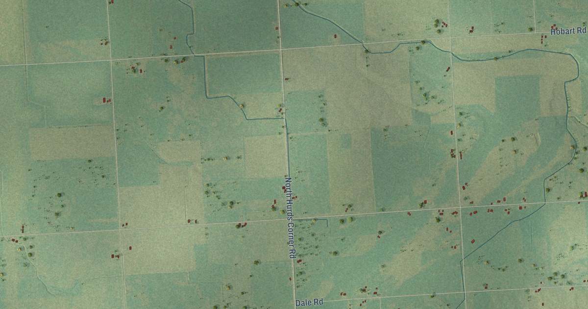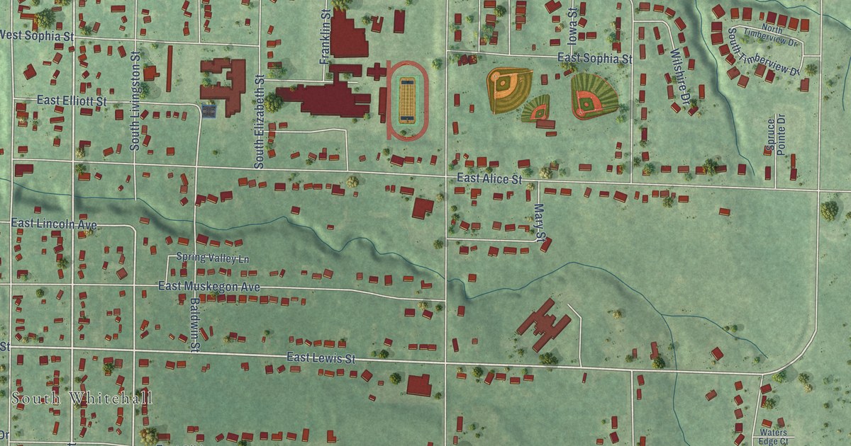
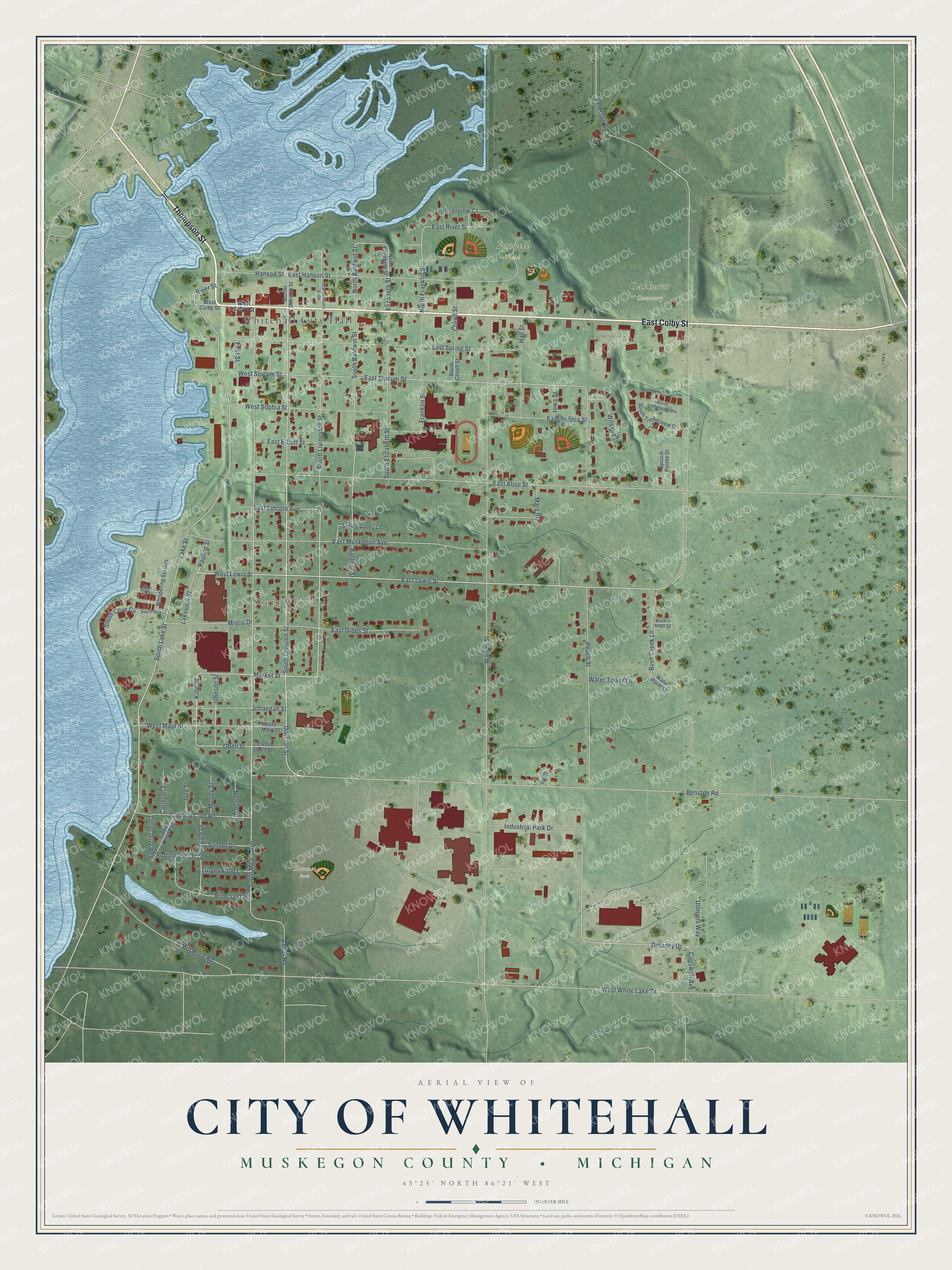
This beautifully detailed map of Whitehall, Michigan was created in 2026 using aerial imagery combined with modern topographical, census, street and landmark data. It's a modern aerial view of Whitehall in Muskegon County, Michigan, that combines modern data with a vintage aesthetic. The roads feature printed names, and if you look closely you can find your exact house accurately shown in its correct location.
Explore an aerial view of Whitehall, Michigan
On this map you'll find Whitehall City Hall, South Whitehall, Funnell Field, Oakhurst Cemetery, Howmet Park, Slocum Park, Thompson Street, East Colby Street, Lake Street, South Division Street, Division Street, South Lake Street, and more. Each red shape is a building, so zoom in on the preview and look for yours.
Here is a piece of Whitehall history, in the words of the record. The History of Muskegon County puts it this way: "In 1863 the first church in Whitehall (Congregational) was organized by P. E. Van Frank."
Whitehall is a city in Muskegon County. The Census Bureau counted 2,909 people here in 2020.
Take a closer look at the Whitehall map
Names on this map
These names are printed on this map.
Places: Whitehall City Hall, South Whitehall, Funnell Field, Oakhurst Cemetery, Howmet Park and Slocum Park.
Streets and roads: Thompson Street, East Colby Street, Lake Street, South Division Street, Division Street, South Lake Street, Benston Road, East Lewis Street, West Lewis Street, Market Street, King Street, East River Street.
More street names, A to Z
Baldwin Street, Bush Creek Lane, Carleton Street, Cogswell Avenue, Collier Drive East, Collier Drive West, Country Club Road, Covell Street, Delaney Drive, East Alice Street, East Elliott Street, East Gibbs Street, East Hanson Street, East Lincoln Avenue, East Main Street, East Muskegon Avenue, East Obell Street, East Slocum Street, East Sophia Street, East Spring Street, Elizabeth Street, Fairlawn Court, First Street, Franklin Street, Gee Street, Hall Street, Hanson Street, Industrial Park Drive, Iowa Street, Johannah Street, Johnson Street, Lakeview Street, Mary Street, Mill Pond Road, Misco Drive, Moody Street, Nelson Street, North Baldwin Street, North Division Street, North Elizabeth Street, North Franklin Street, North Livingston Street, North Timberview Drive, Obell Street, Pauline Street, Peach Street, Peterson Road, Pinecrest Road, River Street, Riverview Court, Robinwood Drive, South Baldwin Street, South Bay Drive, South Cove Circle, South Covell Street, South Elizabeth Street, Southgate Drive, South Livingston Street, South Mears Avenue, South Timberview Drive, Spring Valley Lane, Spruce Pointe Drive, Sunset Drive, Tulgeywood Lane, Ullmans Way, Warner Street, Water Point Court, Waters Edge Court, Water Tower Lane, West Colby Street, West Main Street, West Slocum Street, West Sophia Street, West Staples, West White Lake Drive, Whispering Springs, White Lake Drive, Wilshire Drive, Zellar Road.
Created by KNOWOL in 2026. The buildings are small red shapes, the roads carry their printed names, and shaded relief shows the shape of the land. The title panel reads "AERIAL VIEW OF CITY OF WHITEHALL, MUSKEGON COUNTY • MICHIGAN" with 43°25' NORTH 86°21' WEST.
It suits a den, a classroom or a front hall, and it makes a gift for anyone with Whitehall roots. Open the preview and find the block you know. See sizes and frames for the Whitehall map.