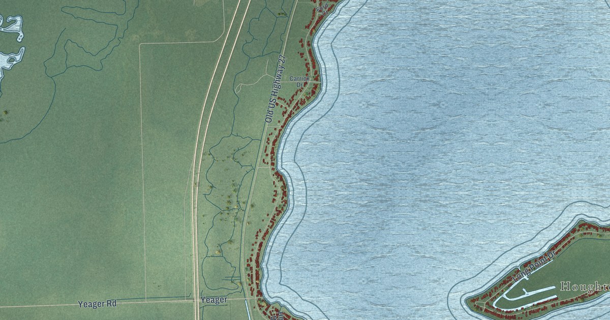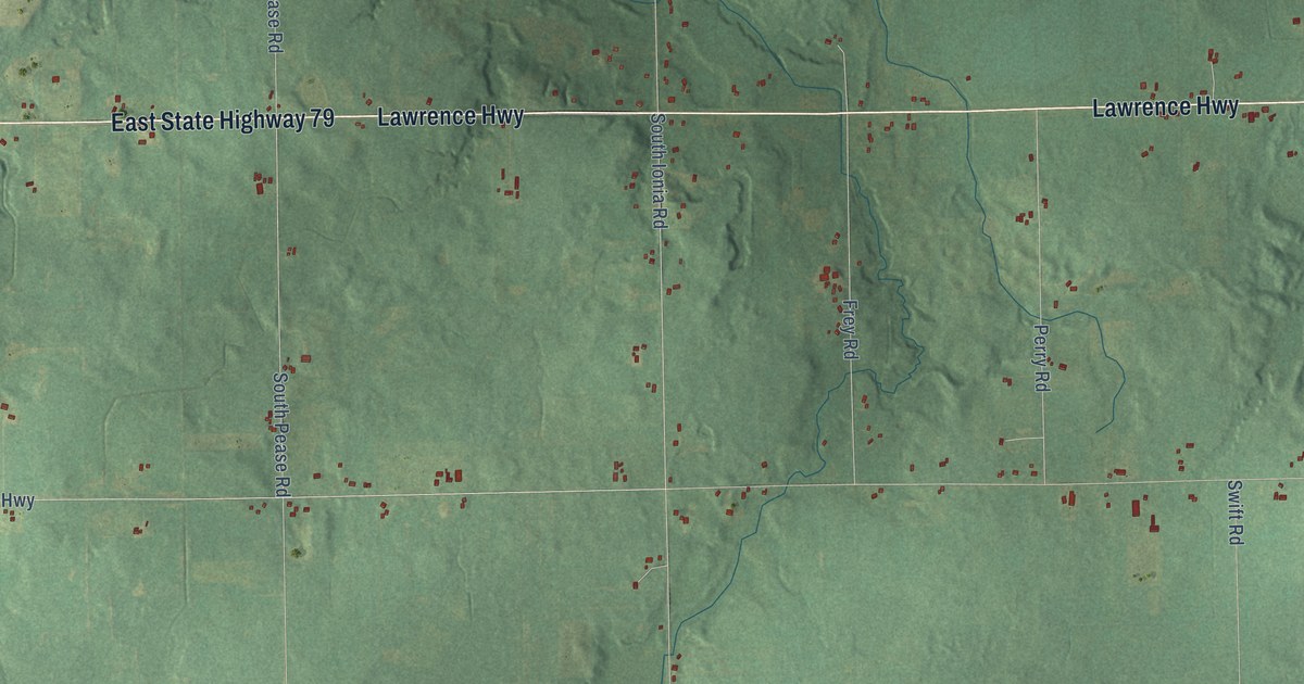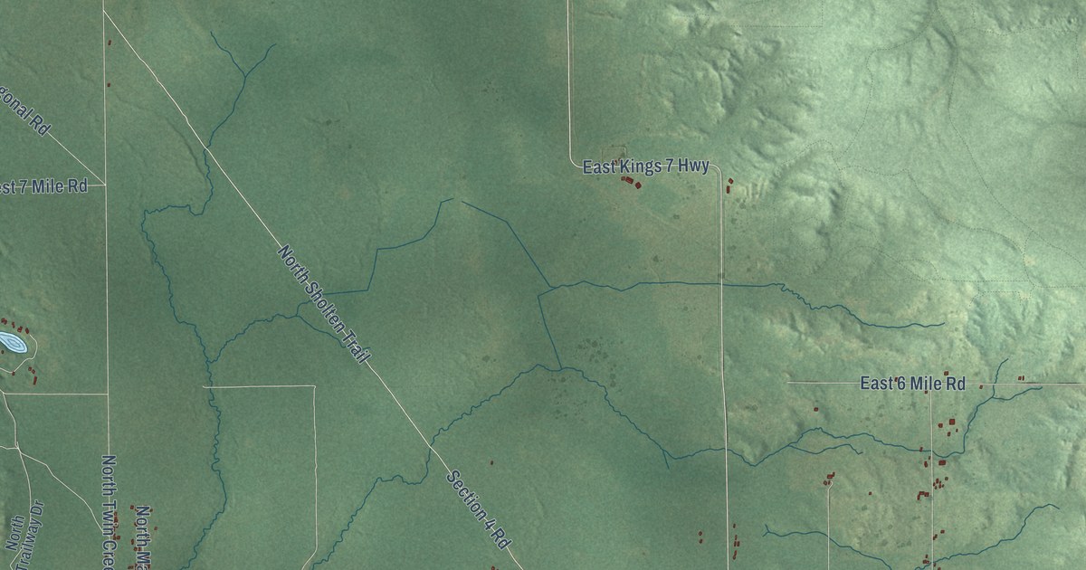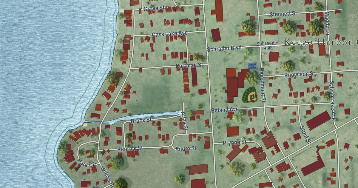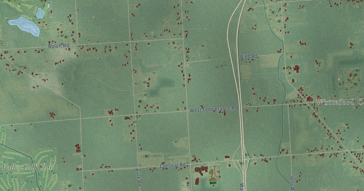
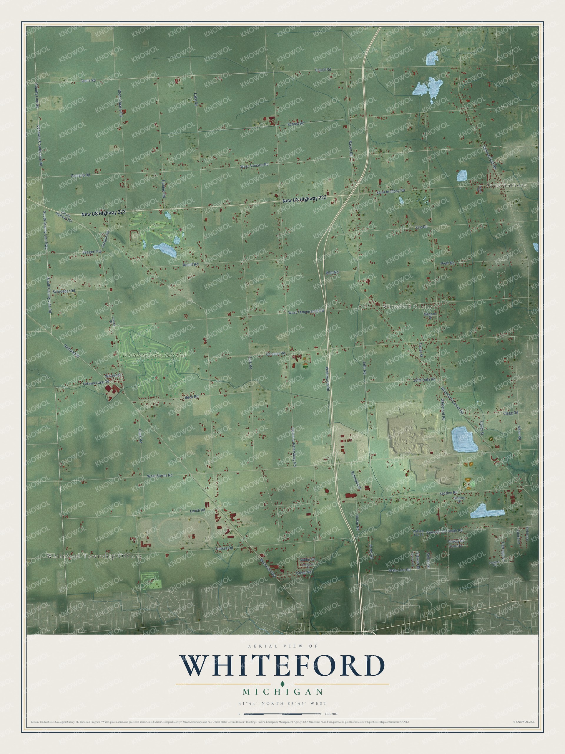
This beautifully detailed map of Whiteford, Michigan was created in 2026 using aerial imagery combined with modern topographical, census, street and landmark data. It's a modern aerial view of Whiteford in Monroe County, Michigan, that combines modern data with a vintage aesthetic. The roads feature printed names, and if you look closely you can find your exact house accurately shown in its correct location.
Explore an aerial view of Whiteford, Michigan
On this map you'll find Whiteford Township Offices, Saint Anthony, Whiteford Center, Whiteford Valley Golf Club, New US Highway 223, South County Line Road, County Line Road, Lenawee County Line Road, Goetz Road, Railroad Street, Ottawa Lake Road, State Line Road, and more. Each red shape is a building, so zoom in on the preview and look for yours.
Every town has a first chapter, and Whiteford is no exception. The Monroe County History puts it this way: "In 1866 he opened the first store at Whiteford Centre, and has continued the same to the present time."
The Census Bureau counted 4,590 people here in 2020.
Take a closer look at the Whiteford map
Names on this map
These names are printed on this map.
Places: Whiteford Township Offices, Saint Anthony, Whiteford Center and Whiteford Valley Golf Club.
Streets and roads: New US Highway 223, South County Line Road, County Line Road, Lenawee County Line Road, Goetz Road, Railroad Street, Ottawa Lake Road, State Line Road, Memorial Highway, Acres Road, Seegert Road, Sylvania-Petersburg Road.
More street names, A to Z
Adler Road, Bacon Road, Beck Road, Bibb Road, Carriage Lane, Clark Road, Clegg Road, Consear Road, Corey Street, Creque Road, Emerson Drive, Erie Road, Fisher Street, Flanders Road, Green Road, Hicker Road, Highwarden Street, Jeffs Doty Road, Jeffs Road, Lake Road, Lansing Road, Leora Lane, Lynch Road, Maple Drive, Meadow Drive, Muller Drive, Old US Highway 223, Onway Drive, Pelton Lane, Piehl Road, Rauch Road, Roloff Road, Saint Anthony Road, Samaria Road, Schnipke Drive, School Road, Schroeder Road, Section Road, Sellers Street, Smith Road, South County Line Highway, Stanley Drive, Stewart Street, Stone Quarry Road, Summerfield Road, Tabbert Road, Tawas Drive, Tennyson Drive, Turk Road, Wadsworth Road, Warren Street, West Samaria Road, West Sterns Road, West Temperance Road, Whiteford Center Road, Whiteford Road, William Fox Lane, Yankee Road.
Created by KNOWOL in 2026. The buildings are small red shapes, the roads carry their printed names, and shaded relief shows the shape of the land. The title panel reads "AERIAL VIEW OF WHITEFORD, MICHIGAN" with 41°44' NORTH 83°45' WEST.
Hang it in the hallway, the office or the cabin, or give it to someone who left Whiteford and still calls it home. Open the preview and look for a street you know. See sizes and frames for the Whiteford map.