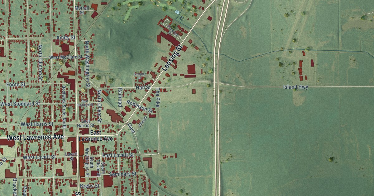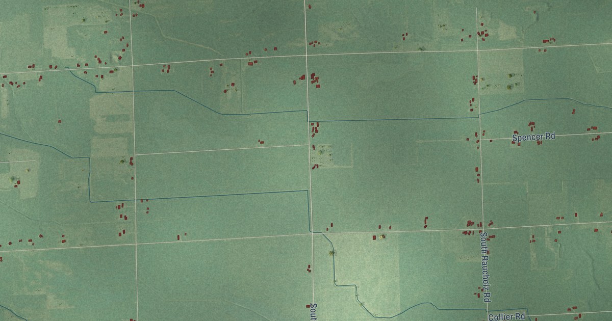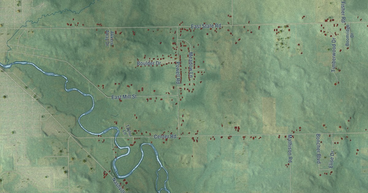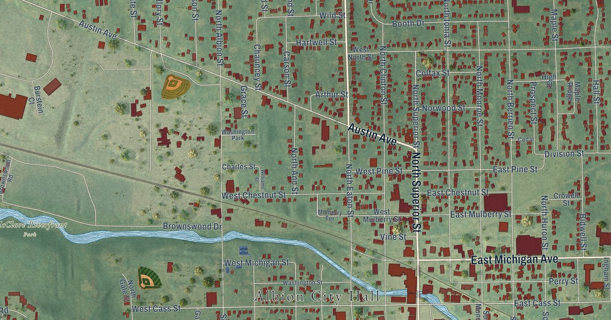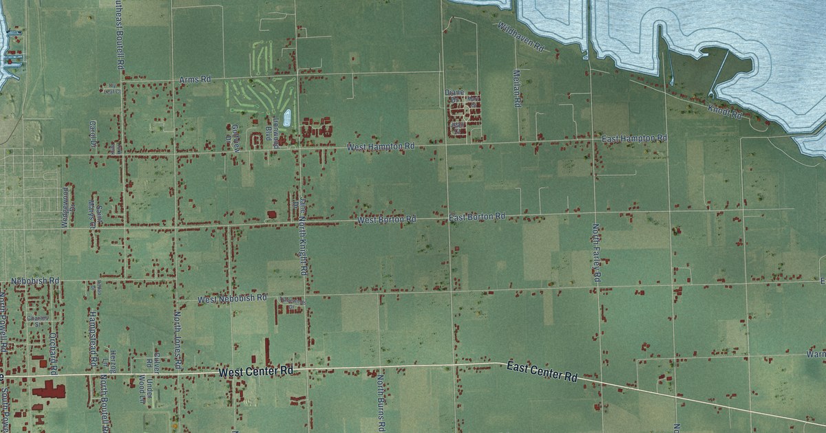
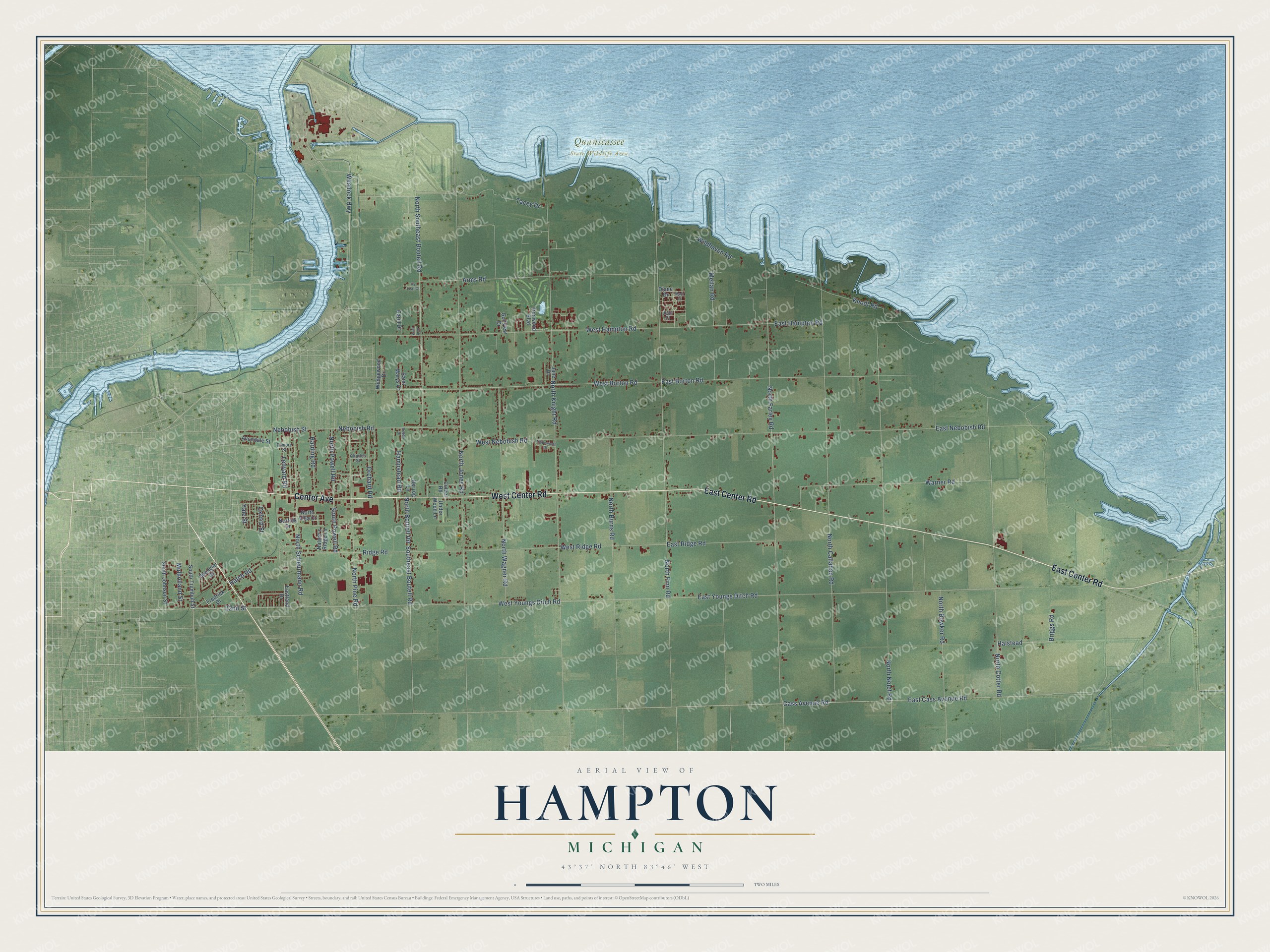
This beautifully detailed map of Hampton, Michigan was created in 2026 using aerial imagery combined with modern topographical, census, street and landmark data. It's a modern aerial view of Hampton in Bay County, Michigan, that combines modern data with a vintage aesthetic. The roads feature printed names, and if you look closely you can find your exact house accurately shown in its correct location.
Explore an aerial view of Hampton, Michigan
On this map you'll find Quanicassee State Wildlife Area, Center Avenue, East Center Road, West Center Road, Ridge Road, West Borton Road, West Youngs Ditch Road, Weadock Highway, 22nd Street, East Borton Road, North Farley Road, East Cass Avenue Road, and more. Each red shape is a building, so zoom in on the preview and look for yours.
Hampton has a story worth telling. The History of Bay County puts it this way: "By 1854 the township of Hampton required better school facilities for 160 children of school age then enrolled and the Adams street school was built to seat 300 pupils."
The Census Bureau counted 9,695 people here in 2020.
Take a closer look at the Hampton map
Names on this map
These names are printed on this map.
Places: Quanicassee State Wildlife Area.
Streets and roads: Center Avenue, East Center Road, West Center Road, Ridge Road, West Borton Road, West Youngs Ditch Road, Weadock Highway, 22nd Street, East Borton Road, North Farley Road, East Cass Avenue Road, North Southeast Boutell Road.
More street names, A to Z
Arms Road, Avondale Street, Briggs Road, Carol Drive, Cass Avenue Road, Charles Street, Culver Road, Diane Drive, East Hampton Road, Eastland Drive, East Nebobish Road, East Ridge Road, East Youngs Ditch Road, Filmore Street, Fredrick Drive, Golfview Drive, Halstead, Hampstead Road, Harding Road, Hatch Road, Herzog Lane, Ironwood Boulevard, Ivy Leaf Court, Jane Drive, Jean Court, Knodt Road, Kuhl Kort, Ledyard Road, Mary Court, Meilan Road, Mulholland Street, Nature's Ridge Lane, Nebobish Road, Nebobish Street, Norfolk Drive, North Boutell Road, North Bowker Road, North Burns Road, North Callahan Road, North Cotter Road, North Finn Road, North Jones Road, North Knight Road, North Nolet Road, North Pine Road, North Powell Road, North Scheurmann Road, North Villa Court, North Wagner Road, Orchard Road, Oxford Street, Rodao Drive, Saint Marys Court, Southeast Boutell Road, South Johnson Street, South Powell Road, South Trumbull Street, Spengler Drive, Tacey Drive, Tradewinds Drive, Under Wood Lane, Warner Road, Wedgewood Drive, West Hampton Road, West Nebobish Road, West Ridge Road, Wildhaven Road, Yale Street.
Created by KNOWOL in 2026. The buildings are small red shapes, the roads carry their printed names, and shaded relief shows the shape of the land. The title panel reads "AERIAL VIEW OF HAMPTON, MICHIGAN" with 43°37' NORTH 83°46' WEST.
It looks right in a kitchen, an office or a den, and it's a gift for anyone who grew up in Hampton or moved away. Open the preview and find your street. See sizes and frames for the Hampton map.