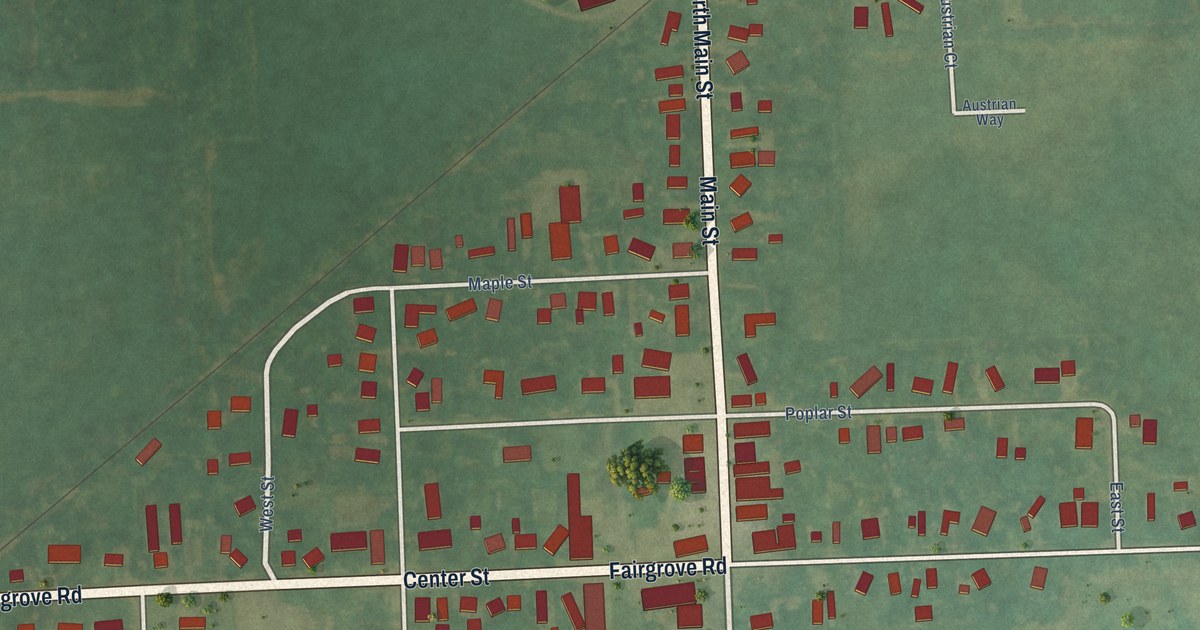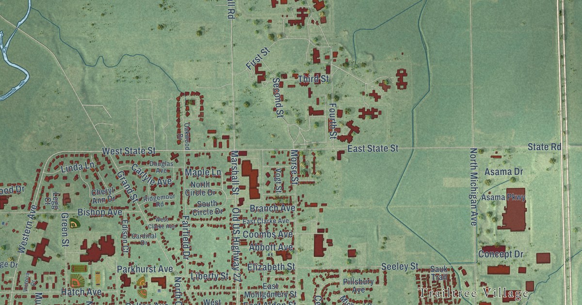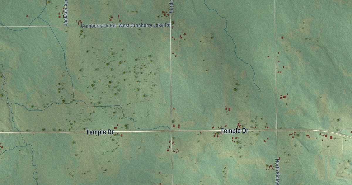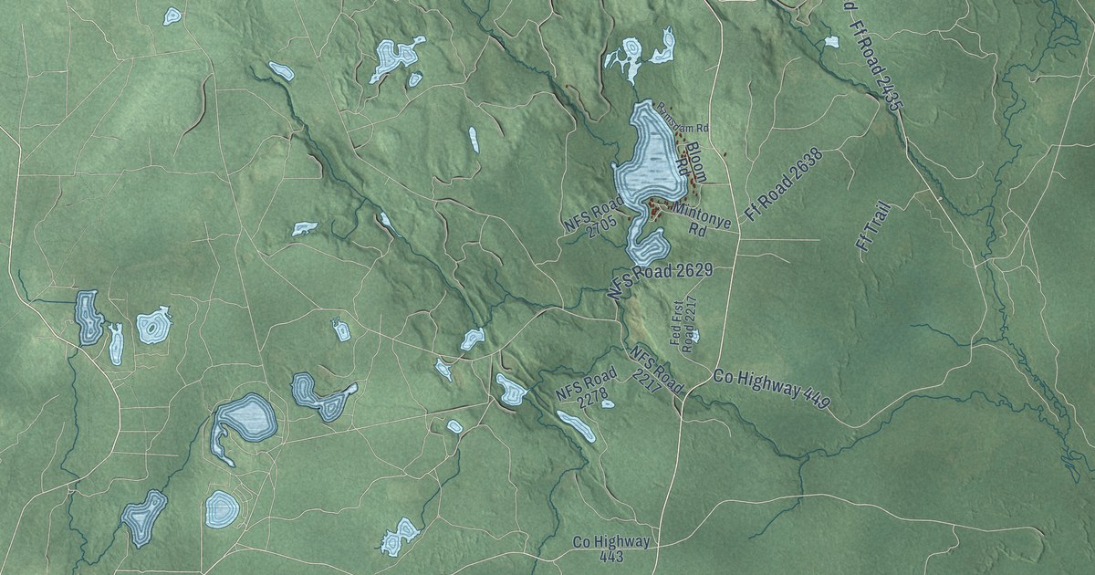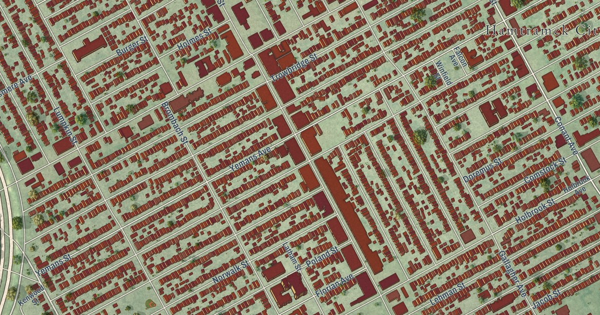
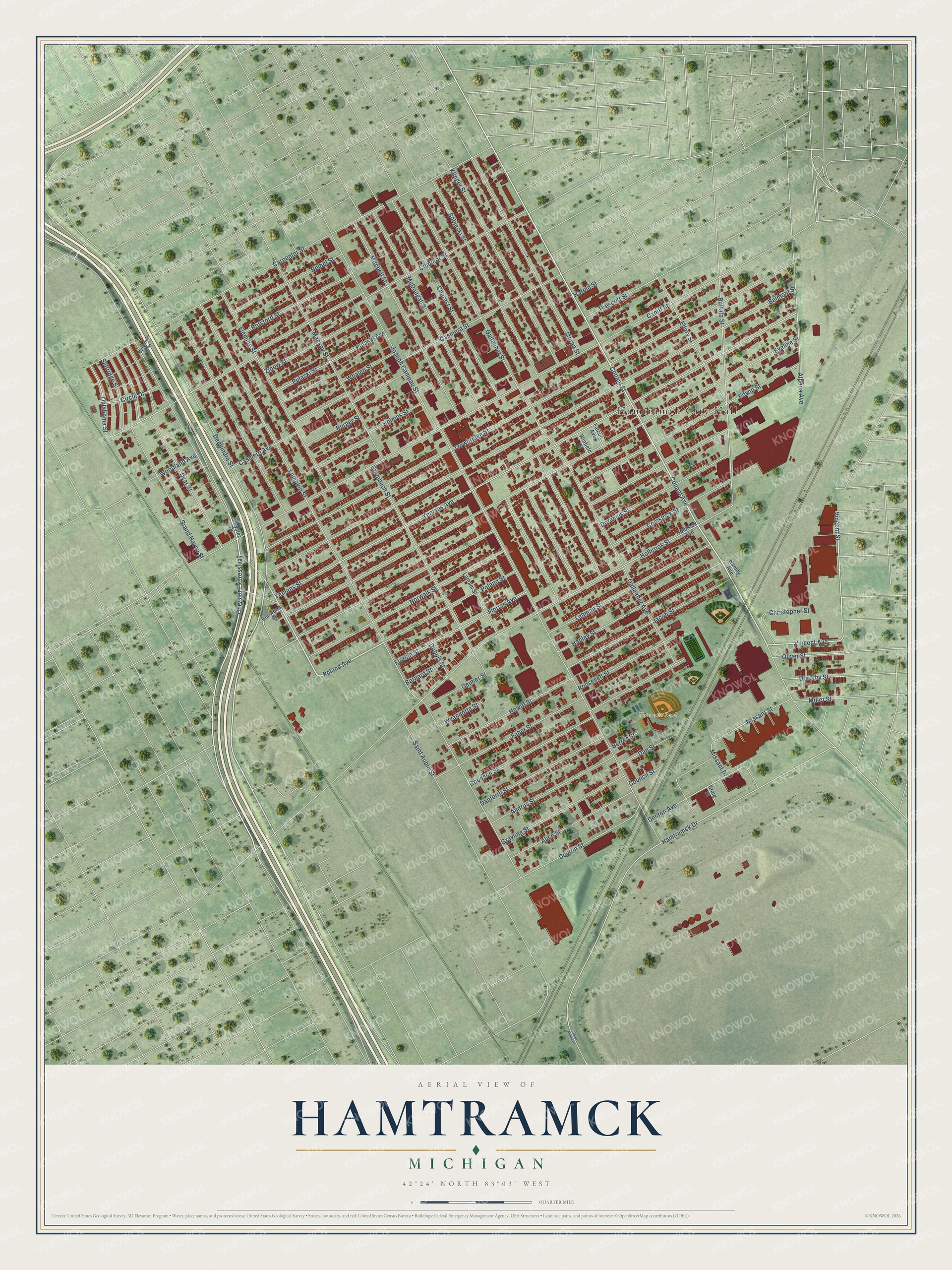
This beautifully detailed map of Hamtramck, Michigan was created in 2026 using aerial imagery combined with modern topographical, census, street and landmark data. It's a modern aerial view of Hamtramck in Wayne County, Michigan, that combines modern data with a vintage aesthetic. The roads feature printed names, and if you look closely you can find your exact house accurately shown in its correct location.
Explore an aerial view of Hamtramck, Michigan
On this map you'll find Hamtramck City Hall, Veterans Park, Dequindre Street, Chrysler Expressway, Poland Avenue, Conant Avenue, Vincent Avenue, Vincent Street, Hamtramck Drive, Dyar Street, Denton Street, Oklahoma Street, and more. Each red shape is a building, so zoom in on the preview and look for yours.
Here is a piece of Hamtramck history, in the words of the record. The History of Detroit and Wayne County puts it this way: "Hamtramck was named in honor of Colonel John F. Hamtramck, first United States commander of Detroit. The name of Springwells has reference to the numerous springs which there abound."
Hamtramck is a city in Wayne County. The Census Bureau counted 28,433 people here in 2020.
Take a closer look at the Hamtramck map
Names on this map
These names are printed on this map.
Places: Hamtramck City Hall and Veterans Park.
Streets and roads: Dequindre Street, Chrysler Expressway, Poland Avenue, Conant Avenue, Vincent Avenue, Vincent Street, Hamtramck Drive, Dyar Street, Denton Street, Oklahoma Street, Missant Street, Joseph Campau Street.
More street names, A to Z
Alice Street, Alpena Avenue, Andrus Street, Belmont Street, Bernard Street, Berres Street, Botsford Street, Brombach Street, Buffalo Street, Burger Street, Caniff Street, Carpenter Avenue, Carpenter Street, Casmere Avenue, Casmere Street, Charest Street, Christopher Street, Chrysler Drive, Circle Drive, Commor Street, Comstock Street, Conant Street, Council Street, Craig Street, Danforth Street, Dan Street, Denton Avenue, Doremus Street, Dorothy Street, Dubois Street, Edwin Street, Ellery Street, Evaline Street, Faber Street, Falcon Avenue, Fleming Street, Florian Avenue, Florian Street, Gallagher Avenue, Gallagher Street, Geimer Street, Goodson Street, Grand Haven Street, Grayling Street, Hanley Avenue, Hanley Street, Harold Street, Hewitt Street, Holbrook Avenue, Holbrook Street, Holmes Street, Jacob Street, Kenwood Street, Klinger Street, Latham Street, Lehman Street, Lumpkin Street, Mackay Street, McDougall Street, Miller Street, Missant Drive, Mitchell Street, Moran Street, Neibel Street, Norwalk Street, Oliver Street, Poland Street, Prescott Street, Pulaski Avenue, Pulaski Street, Roosevelt Street, Saint Aubin Drive, Saint Aubin Street, Selfridge Street, Sobieski Street, Trowbridge Street, Whalen Street, Winfield Street, Woodland Avenue, Wyandotte Street, Yemans Avenue, Yemans Street, Zinow Street.
Created by KNOWOL in 2026. The buildings are small red shapes, the roads carry their printed names, and shaded relief shows the shape of the land. The title panel reads "AERIAL VIEW OF HAMTRAMCK, MICHIGAN" with 42°24' NORTH 83°03' WEST.
It suits a den, a classroom or a front hall, and it makes a gift for anyone with Hamtramck roots. Open the preview and find the block you know. See sizes and frames for the Hamtramck map.