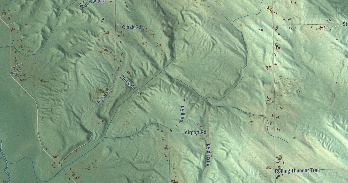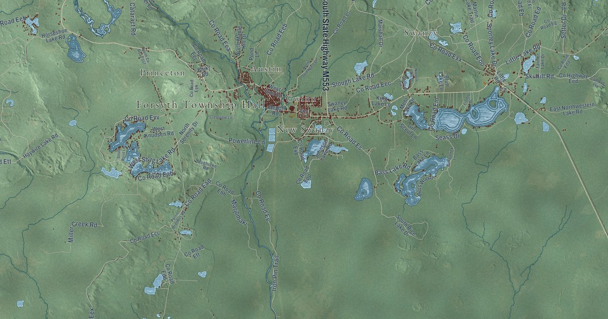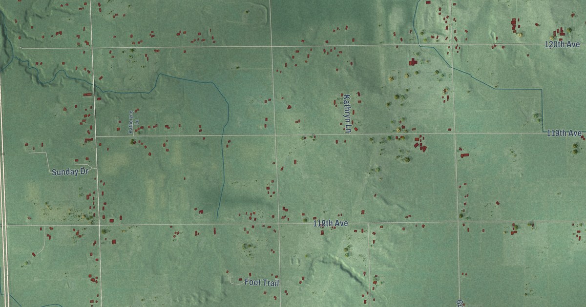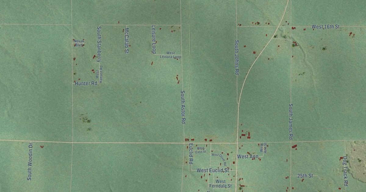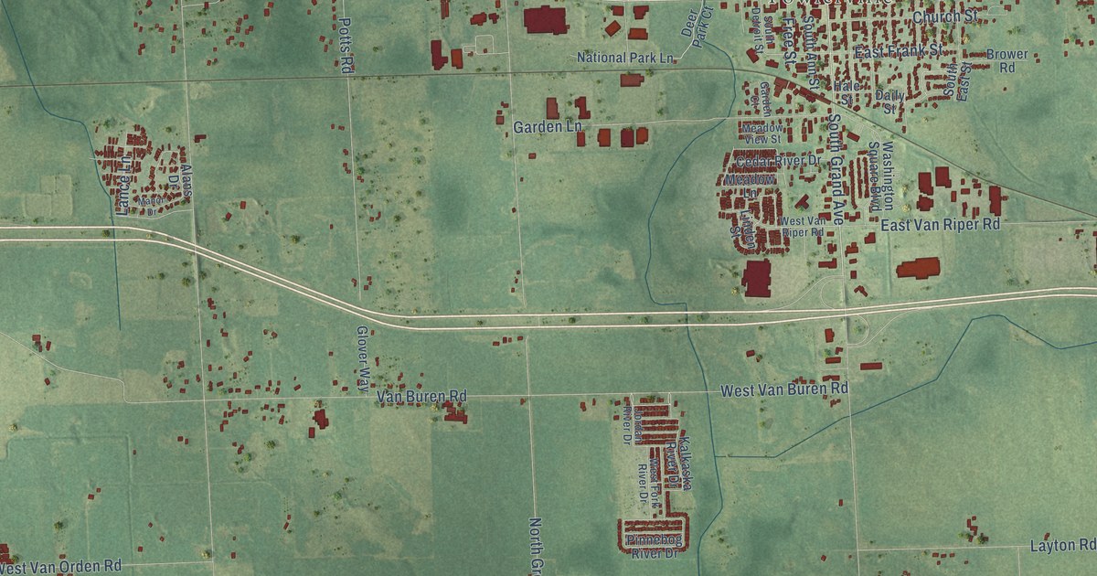
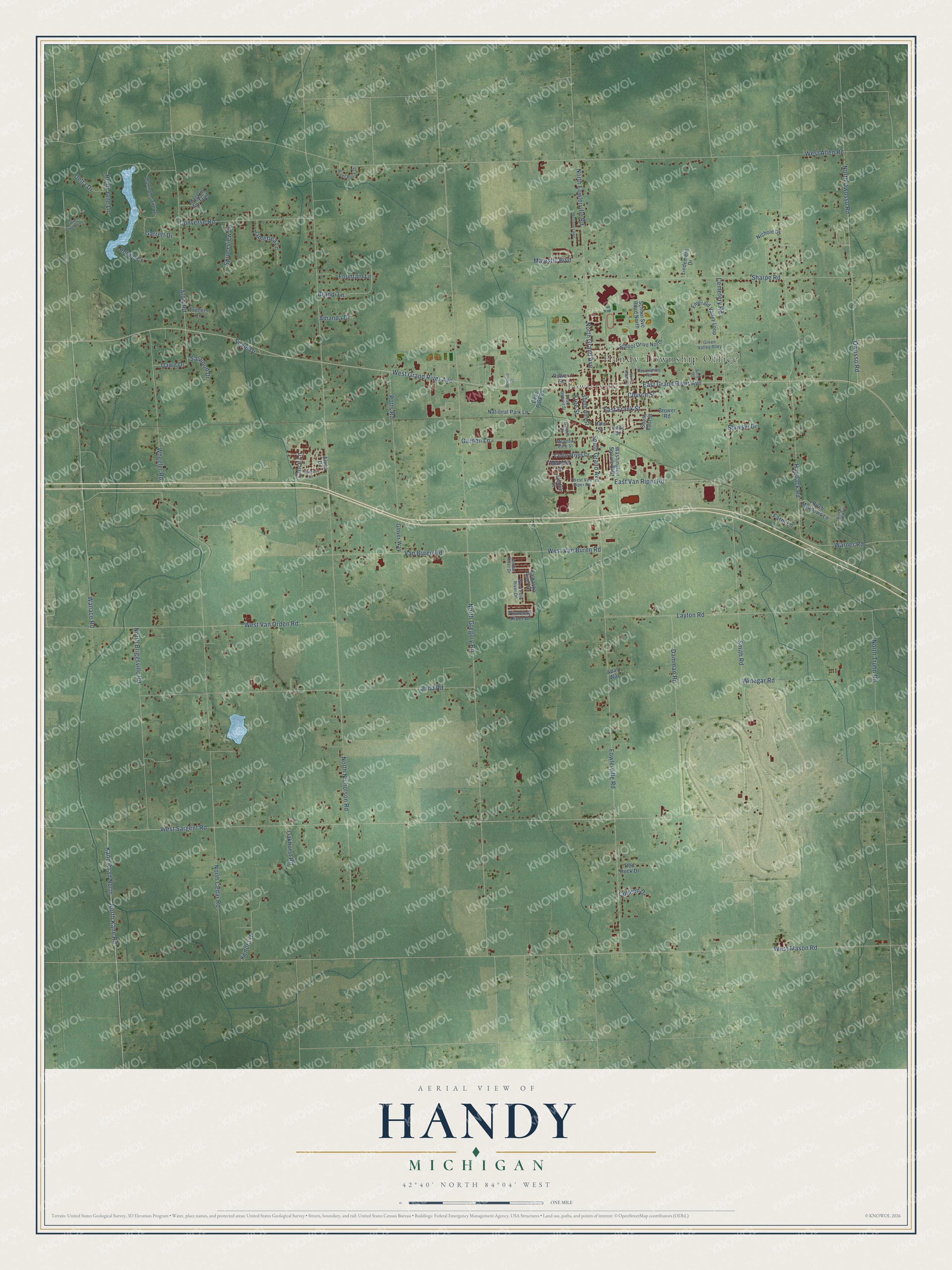
This beautifully detailed map of Handy, Michigan was created in 2026 using aerial imagery combined with modern topographical, census, street and landmark data. It's a modern aerial view of Handy in Livingston County, Michigan, that combines modern data with a vintage aesthetic. The roads feature printed names, and if you look closely you can find your exact house accurately shown in its correct location.
Explore an aerial view of Handy, Michigan
On this map you'll find Handy Township Office, Fowlerville, West Grand River Avenue, South Grand Avenue, East Grand River Avenue, North Grand Avenue, Owosso Road, Kane Road North, West Sargent Road, North Nicholson Road, North Gregory Road, West Mason Road, and more. Each red shape is a building, so zoom in on the preview and look for yours.
Every town has a first chapter, and Handy is no exception. The History of Livingston County puts it this way: "Settlements were made in Handy, in June, 1836, by Calvin Handy and Charles P. Bush, the former being the first arrival by a week or two."
The Census Bureau counted 8,602 people here in 2020.
Take a closer look at the Handy map
Names on this map
These names are printed on this map.
Places: Handy Township Office and Fowlerville.
Streets and roads: West Grand River Avenue, South Grand Avenue, East Grand River Avenue, North Grand Avenue, Owosso Road, Kane Road North, West Sargent Road, North Nicholson Road, North Gregory Road, West Mason Road, North Cedar Road, West Allen Road.
More street names, A to Z
Adas Way, Alans Drive, Amanda Drive, Amy Drive, Birch Meadows Lane, Birch Tree Lane, Brandi Lane, Brower Road, Cedar River Drive, Cemetery Road, Church Street, Colleen Drive, Converse Road, Culver Country Lane, Daily Street, Damman Road, Dawn Drive, Deer Park Court, Deforest Drive, Delta Drive, Devonshire Road, East Frank Street, East Van Riper Road, Emerald Valley Loop, Farm Lane, Fountain Lane, Fowlerville Road, Free Street, Garden Court, Garden Lane, Garrett Drive, Glover Way, Green Valley Alley, Hale Street, Hannah Jane Drive, Heidi Jane Lane, Hogback Road, Jamerlea Lane, Jordan River Drive, Judd Road, Kalkaska River Drive, Kenora Drive, Lance Lane, Layton Road, Lindemere Drive, Linden Street, Mack in Aw Trail, Majestic Boulevard, Manor Drive, Meadow Lane, Meadow Lawn, Meadow View Street, National Park Lane, Nichole Drive, North Briggsville Road, North Fowlerville Road, North Kane Road, North Maple Street, North Owosso Road, North Truhn Road, Oakhurst Road, Pinnebog River Drive, Potts Road, Power Street, Red Rock Drive, Renee Court, River Rock Drive, Salwood Drive, Scale Drive, School Drive North, School Svc Road North, Sharpe Road, Slawski Drive, Smith Road, South Ann Street, South Detroit Street, South East Street, Spruceview Lane, Stow Road, Trotters Lane, Van Buren Road, Wallace Road, Warner Road, Washington Square Boulevard, West Fork River Drive, West Van Buren Road, West Van Orden Road, West Van Riper Road, Wheeler Road, Winegar Road.
Created by KNOWOL in 2026. The buildings are small red shapes, the roads carry their printed names, and shaded relief shows the shape of the land. The title panel reads "AERIAL VIEW OF HANDY, MICHIGAN" with 42°40' NORTH 84°04' WEST.
Hang it in the hallway, the office or the cabin, or give it to someone who left Handy and still calls it home. Open the preview and look for a street you know. See sizes and frames for the Handy map.